Ephrata (/ˈɛfrətə/ EF-rə-tə; Pennsylvania Dutch: Effridaa) is a borough in Lancaster County, Pennsylvania, United States. It is located 42 miles (68 km) east of Harrisburg and about 60 miles (97 km) west-northwest of Philadelphia and is named after Ephrath, an ancient Israelite town, Bethlehem, that is now a Syriac Aramaic, Hebrew and Arabic speaking community in Palestine. In its early history, Ephrata was a pleasure resort and an agricultural community.
Ephrata’s population has steadily grown over the last century. In 1900, 2,452 people lived there, and by 1940, the population had increased to 6,199. The population was 13,818 at the 2020 census. Ephrata is the most populous borough in Lancaster County.
Ephrata’s sister city is Eberbach, Germany, the city where its founders originated.
| Name: | Ephrata borough |
|---|---|
| LSAD Code: | 21 |
| LSAD Description: | borough (suffix) |
| State: | Pennsylvania |
| County: | Lancaster County |
| Incorporated: | August 22, 1891 |
| Elevation: | 358 ft (109 m) |
| Total Area: | 3.46 sq mi (8.97 km²) |
| Land Area: | 3.42 sq mi (8.85 km²) |
| Water Area: | 0.04 sq mi (0.11 km²) |
| Total Population: | 13,794 |
| Population Density: | 4,035.69/sq mi (1,558.18/km²) |
| ZIP code: | 17522 |
| FIPS code: | 4223832 |
| Website: | ephrataboro.org |
Online Interactive Map
Click on ![]() to view map in "full screen" mode.
to view map in "full screen" mode.
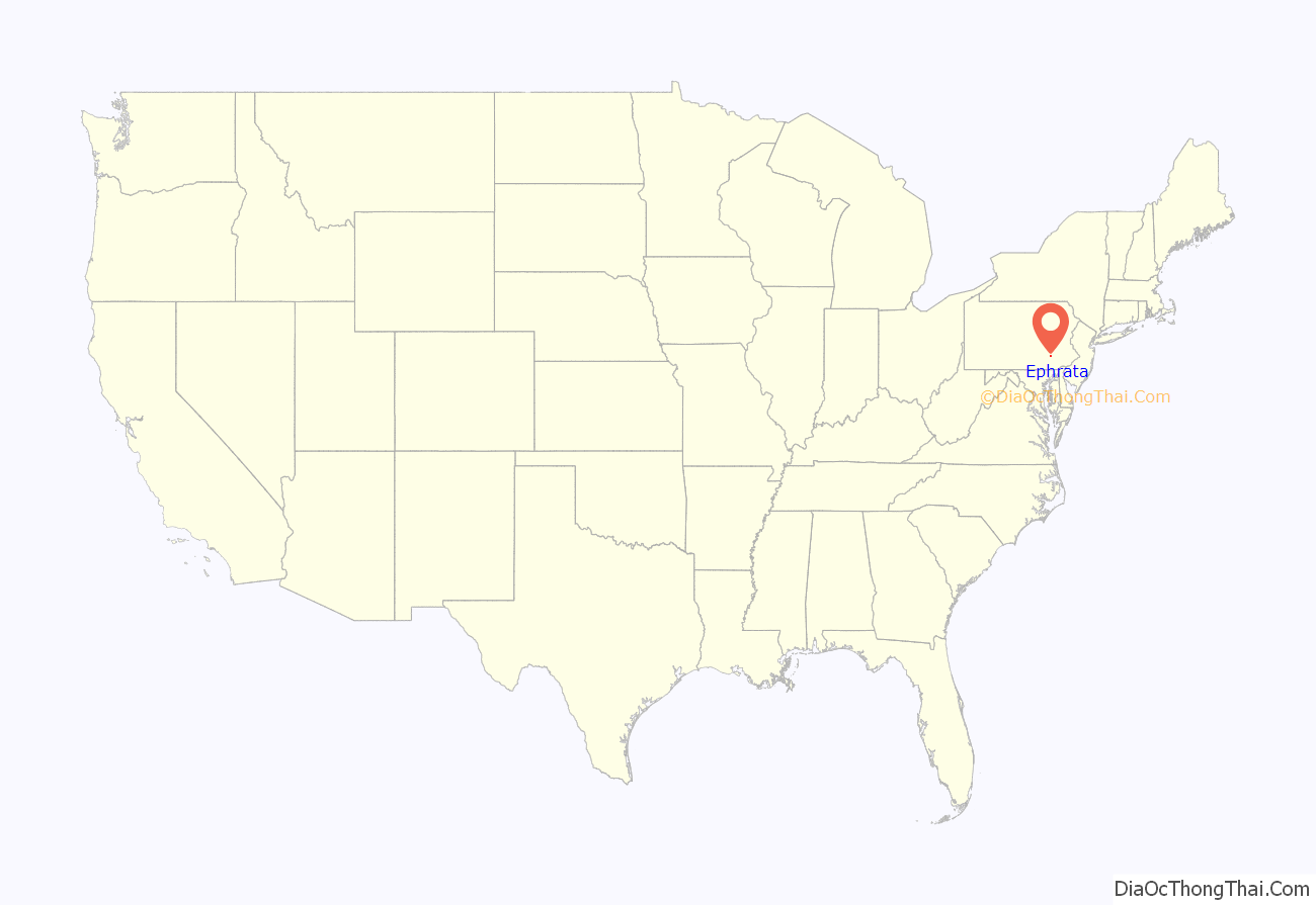
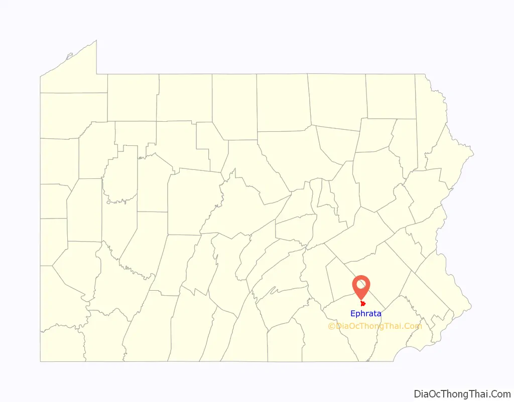
Ephrata location map. Where is Ephrata borough?
History
Ephrata is noteworthy for having been the former seat of the Mystic Order of the Solitary, a semimonastic order of Seventh-Day Dunkers. The community, which contained both men and women, was founded by Johann Conrad Beissel in 1732.
Many of the members were well-educated; Peter Miller, second prior of the monastery, translated the Declaration of Independence into seven languages, at the request of Congress. At the period of its greatest prosperity the community contained nearly 300 persons.
The Ephrata Commercial Historic District, Ephrata Cloister, Eby Shoe Corporation buildings, Connell Mansion, Mentzer Building, and Mountain Springs Hotel are listed on the National Register of Historic Places.
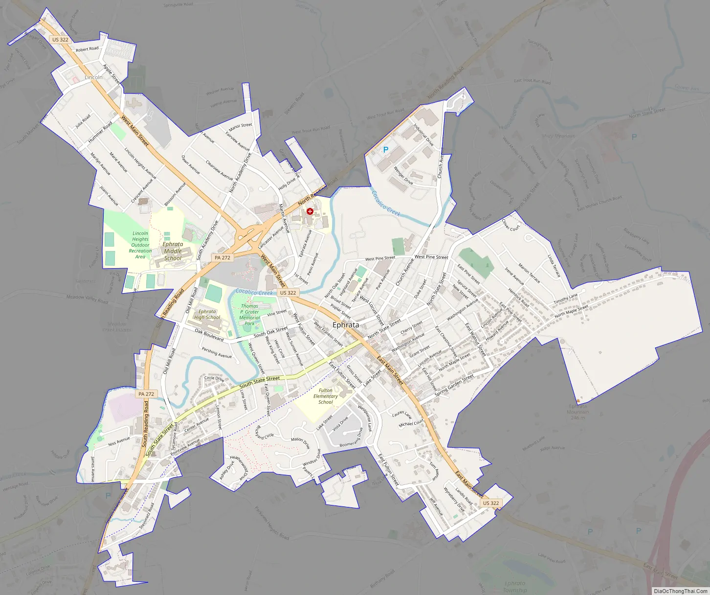
Ephrata Road Map
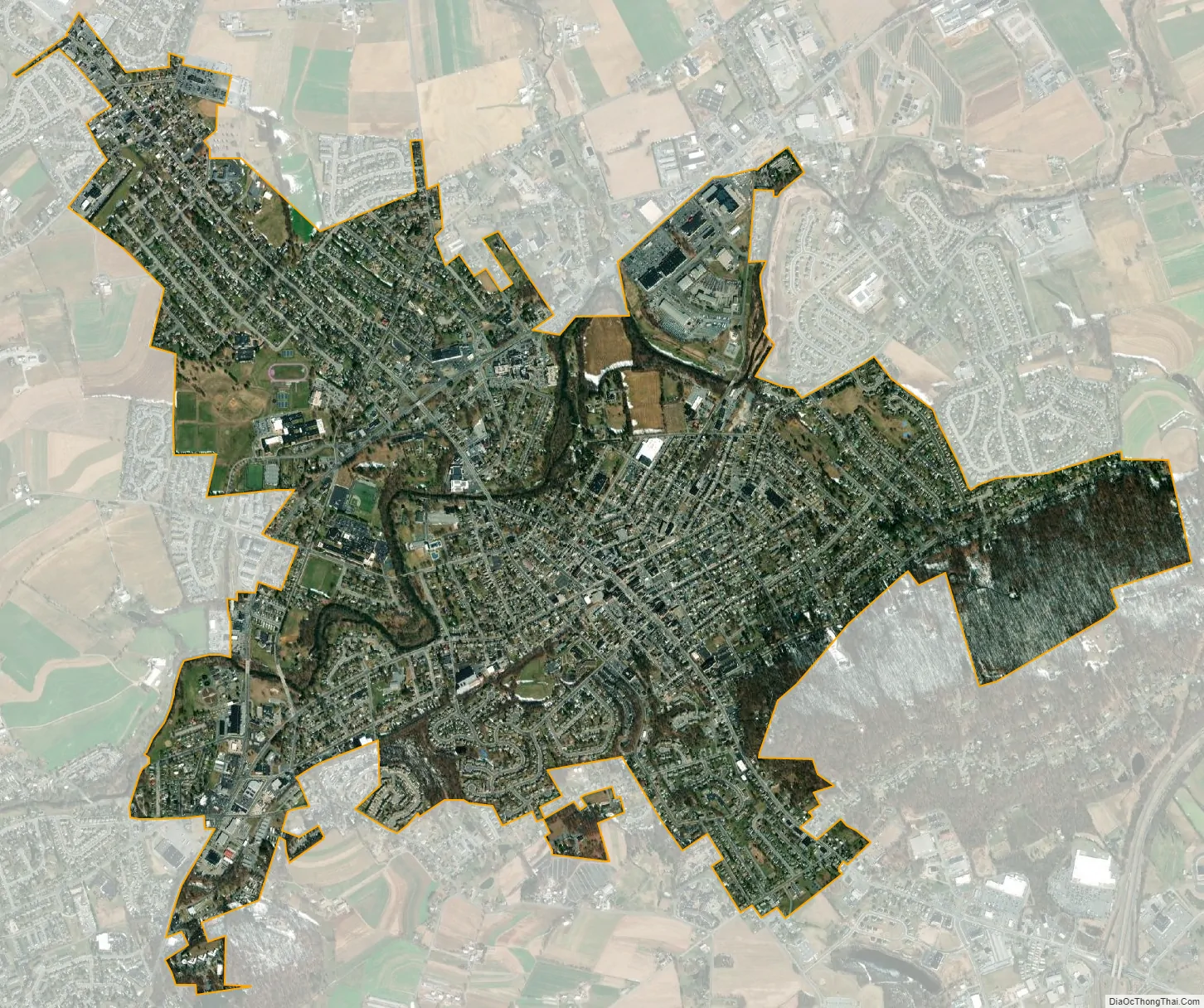
Ephrata city Satellite Map
Geography
Ephrata is located in northeastern Lancaster County, Pennsylvania at 40°10′51″N 76°10′57″W / 40.18083°N 76.18250°W / 40.18083; -76.18250 (40.17870, −76.17744). U.S. Route 322 passes through the center of the borough as Main Street; it leads northwest 28 miles (45 km) to Hershey and southeast 35 miles (56 km) to West Chester. Pennsylvania Route 272 passes through the northwest side of Ephrata, leading northeast 8 miles (13 km) to Adamstown and southwest 13 miles (21 km) to Lancaster, the county seat. Like the rest of the county, the surrounding land is mostly flat and suitable for farming.
According to the U.S. Census Bureau, the borough has a total area of 3.4 square miles (8.8 km), of which 0.04 square miles (0.10 km), or 1.27%, are water. Cocalico Creek flows through the borough just north of the center of town; it is a southwest-flowing tributary of the Conestoga River and part of the Susquehanna River watershed.
Ephrata has a hot-summer humid continental climate (Dfa), and average monthly temperatures range from 30.0 °F (−1.1 °C) in January to 74.6 °F (23.7 °C) in July. The hardiness zone is 6b.
See also
Map of Pennsylvania State and its subdivision:- Adams
- Allegheny
- Armstrong
- Beaver
- Bedford
- Berks
- Blair
- Bradford
- Bucks
- Butler
- Cambria
- Cameron
- Carbon
- Centre
- Chester
- Clarion
- Clearfield
- Clinton
- Columbia
- Crawford
- Cumberland
- Dauphin
- Delaware
- Elk
- Erie
- Fayette
- Forest
- Franklin
- Fulton
- Greene
- Huntingdon
- Indiana
- Jefferson
- Juniata
- Lackawanna
- Lancaster
- Lawrence
- Lebanon
- Lehigh
- Luzerne
- Lycoming
- Mc Kean
- Mercer
- Mifflin
- Monroe
- Montgomery
- Montour
- Northampton
- Northumberland
- Perry
- Philadelphia
- Pike
- Potter
- Schuylkill
- Snyder
- Somerset
- Sullivan
- Susquehanna
- Tioga
- Union
- Venango
- Warren
- Washington
- Wayne
- Westmoreland
- Wyoming
- York
- Alabama
- Alaska
- Arizona
- Arkansas
- California
- Colorado
- Connecticut
- Delaware
- District of Columbia
- Florida
- Georgia
- Hawaii
- Idaho
- Illinois
- Indiana
- Iowa
- Kansas
- Kentucky
- Louisiana
- Maine
- Maryland
- Massachusetts
- Michigan
- Minnesota
- Mississippi
- Missouri
- Montana
- Nebraska
- Nevada
- New Hampshire
- New Jersey
- New Mexico
- New York
- North Carolina
- North Dakota
- Ohio
- Oklahoma
- Oregon
- Pennsylvania
- Rhode Island
- South Carolina
- South Dakota
- Tennessee
- Texas
- Utah
- Vermont
- Virginia
- Washington
- West Virginia
- Wisconsin
- Wyoming


