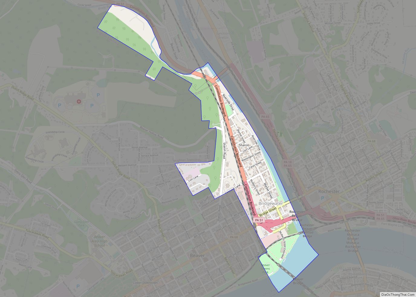
Rochester is a borough in central Beaver County, Pennsylvania at the confluence of the Beaver and Ohio rivers. Located 25 miles (40 km) northwest of Pittsburgh, it is part of the Pittsburgh metropolitan area. The population was 3,480 at the 2020 census. Like many places around Pittsburgh, Rochester was a former industrial hub, home to the H. C. Fry Glass Company, and was a major junction on the Pennsylvania Railroad. Rochester has been a background for films, including the 1986 movie Gung Ho, the 1996 movie Kingpin, and the 2000 movie Wonder Boys.
| Name: | Rochester borough |
|---|---|
| LSAD Code: | 21 |
| LSAD Description: | borough (suffix) |
| State: | Pennsylvania |
| County: | Beaver County |
| Incorporated: | 1849; 174 years ago (1849) |
| Elevation: | 810 ft (250 m) |
| Total Area: | 0.73 sq mi (1.89 km²) |
| Land Area: | 0.59 sq mi (1.52 km²) |
| Water Area: | 0.14 sq mi (0.36 km²) |
| Total Population: | 3,472 |
| Population Density: | 5,904.76/sq mi (2,279.52/km²) |
| Area code: | 724, 878 |
| FIPS code: | 4265392 |
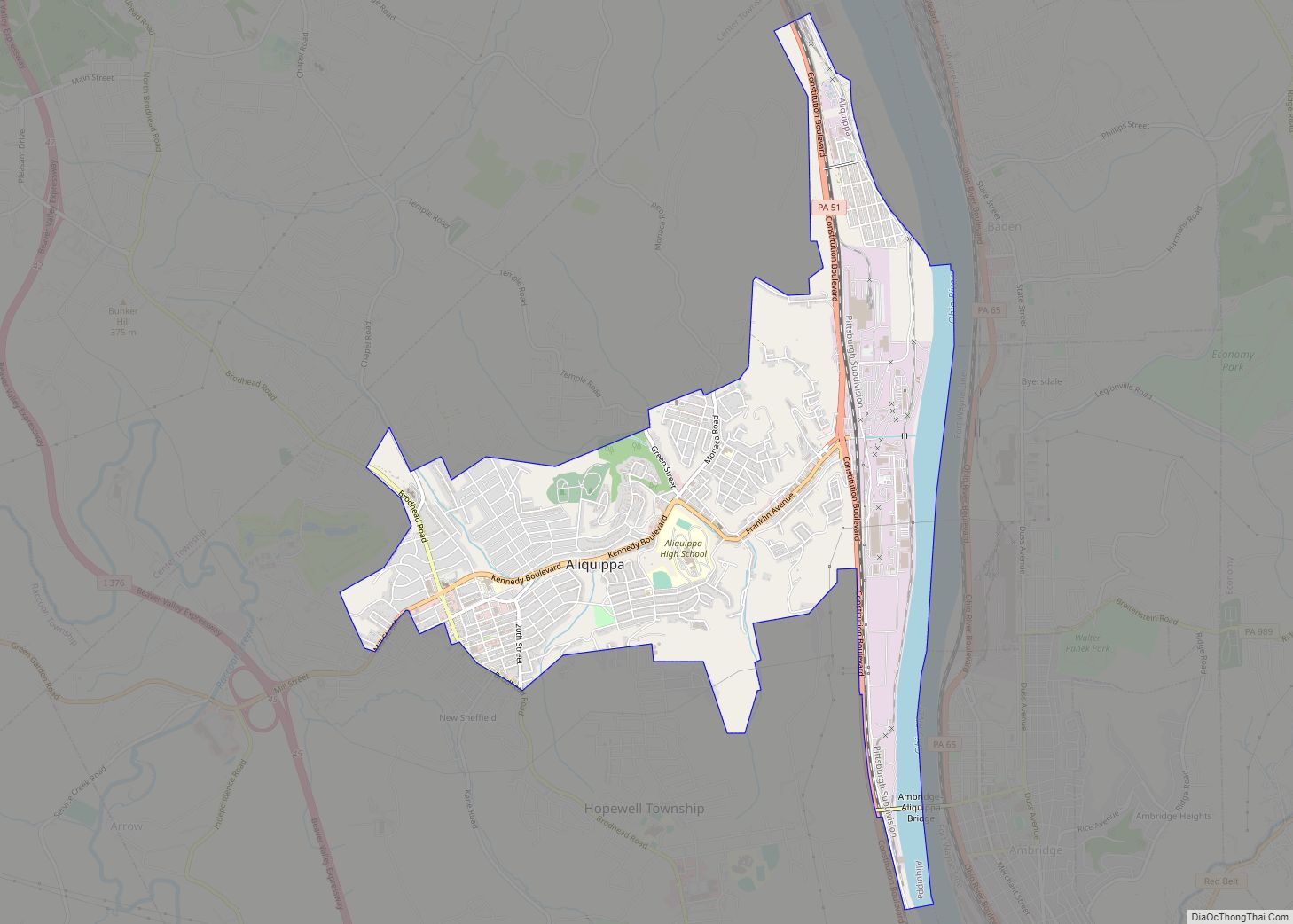
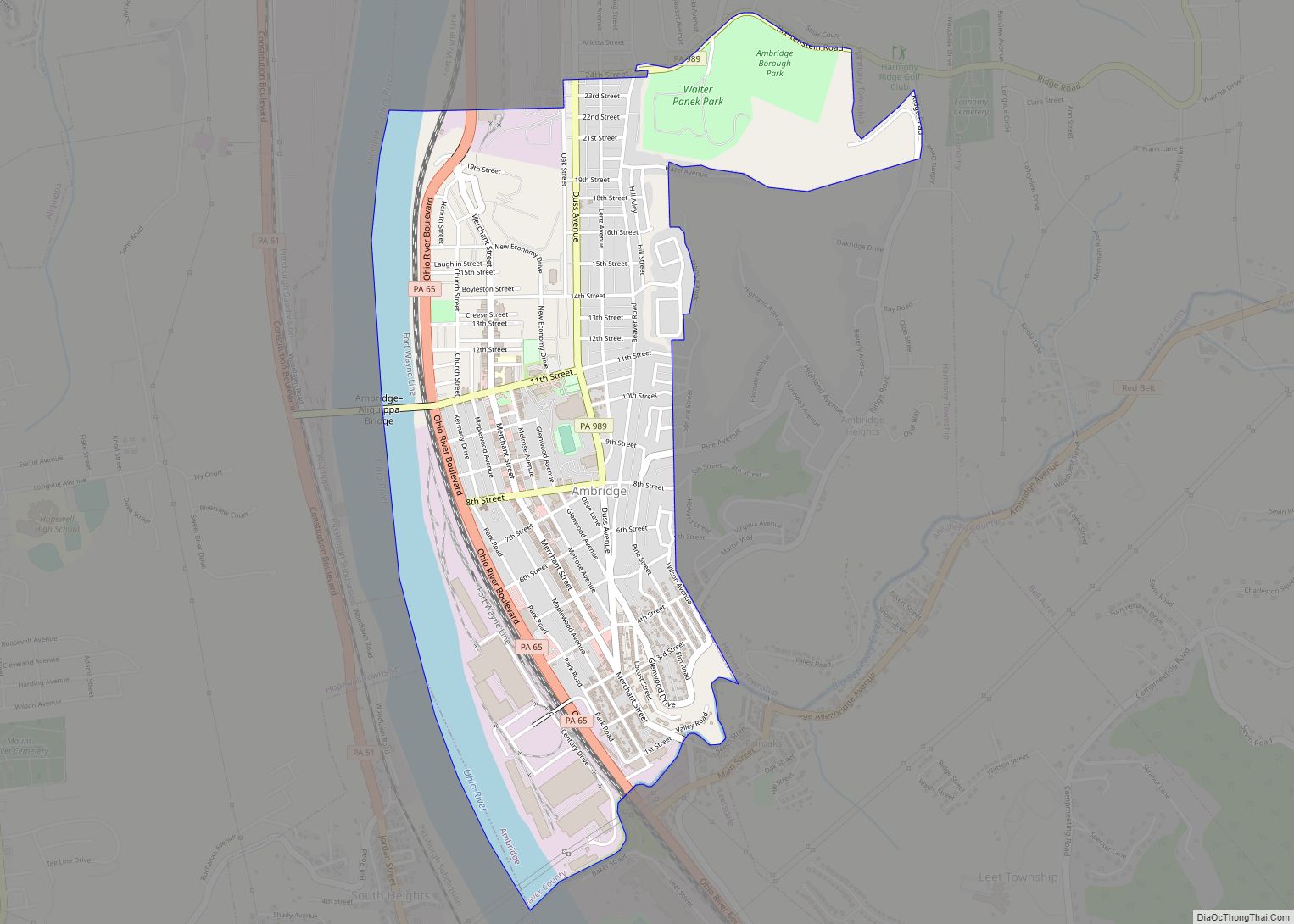
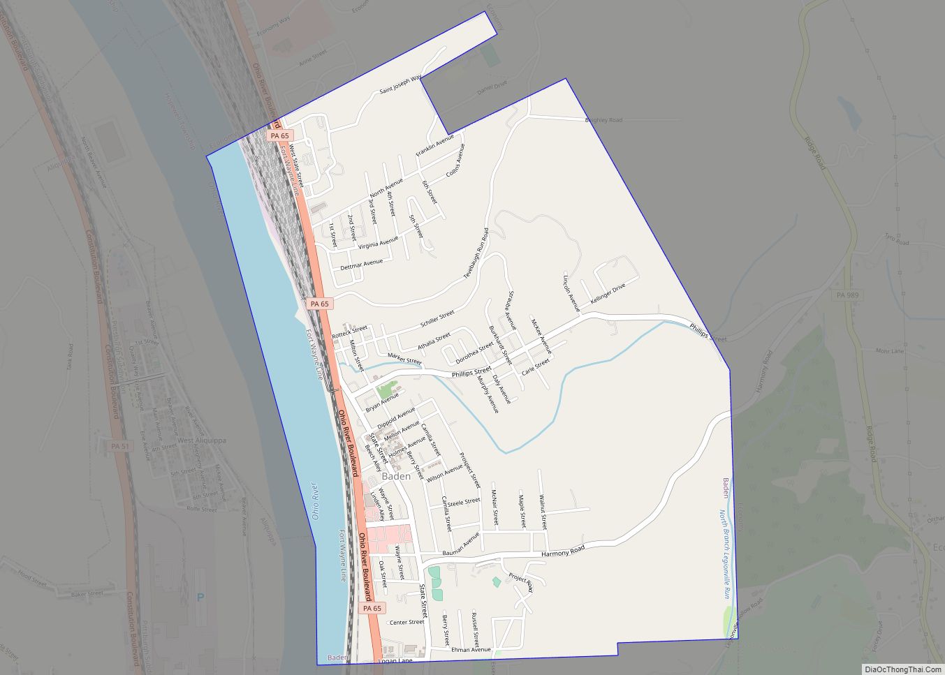
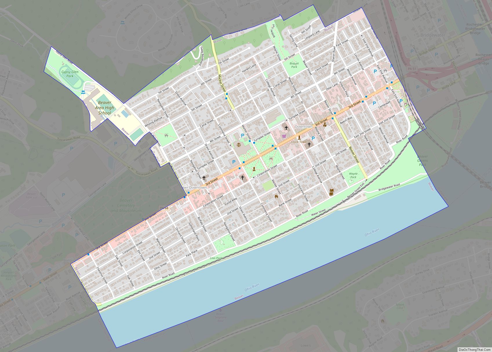
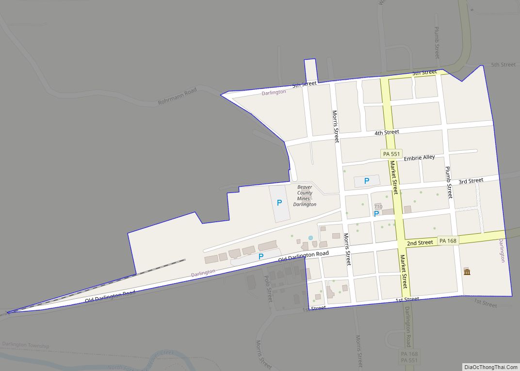
Online Interactive Map
Click on ![]() to view map in "full screen" mode.
to view map in "full screen" mode.
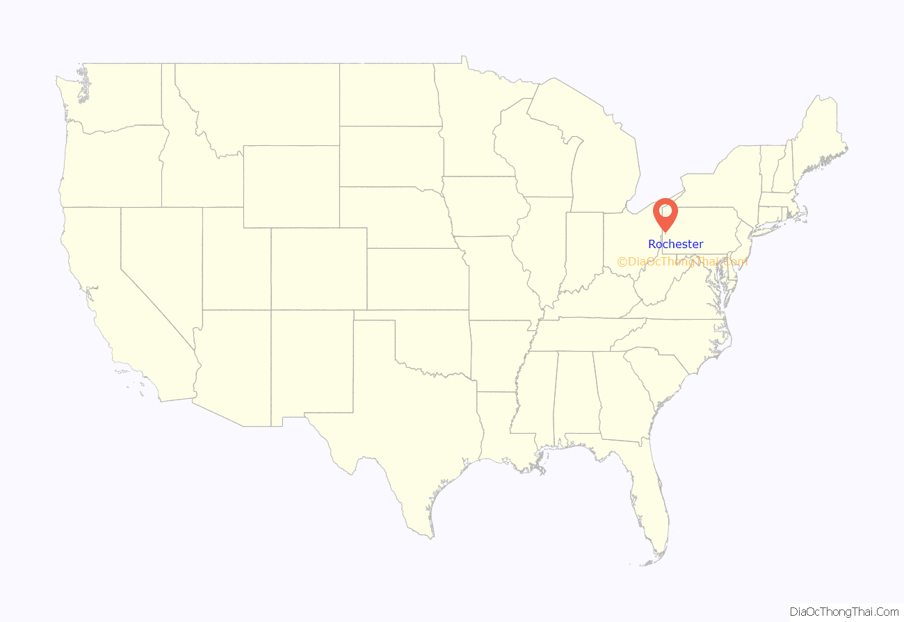
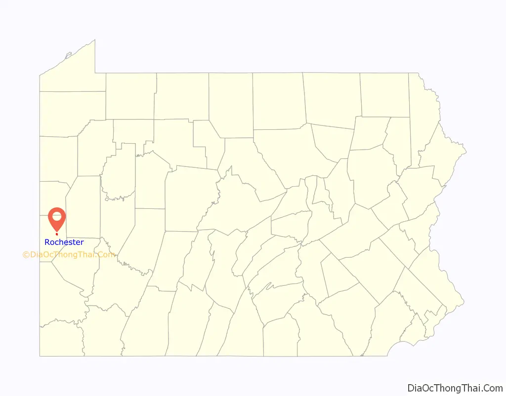
Rochester location map. Where is Rochester borough?
History
What eventually became Rochester was originally a Lenape village called Sawcunk. The area was settled in 1799 in what was then the American frontier by white settlers and was known as East Bridgewater, Fairport, and Beaver Point. The borough adopted the name Rochester in 1834 when a local businessman who did regular business in Pittsburgh decided to christen his home with the name Rochester so he could have a unique name to stamp his goods; the borough was officially incorporated as such in 1849.
Many of the streets that run through Rochester today had different names based on wild animals. Virginia Avenue and Adams Street—two of the city’s main thoroughfares via Pennsylvania Route 68—were once known as Fox Lane and Tiger Lane, respectively. Deer Lane, which still exists today, is the last remnant of the original naming scheme for the street grid in the borough.
Rochester is where Henry Clay Fry and his associates formed a glass manufacturing company following Fry’s return from the American Civil War. In 1897 the Rochester Tumbler Company (as the company was known) became the National Glass Company of Rochester. The company helped to introduce pressed glass production to America, pressing the glass into a mold where previously the technique of cut glass had been to blow it by hand. At its height, the National Glass Company of Rochester employed over a 1000 people but its bankruptcy during the Great Depression began a long decline in the town’s population which continues up to today.
Rochester was a railroad junction for the Pennsylvania Railroad and sat along the railroad’s mainline from the Eastern United States to Chicago.
Rochester Road Map
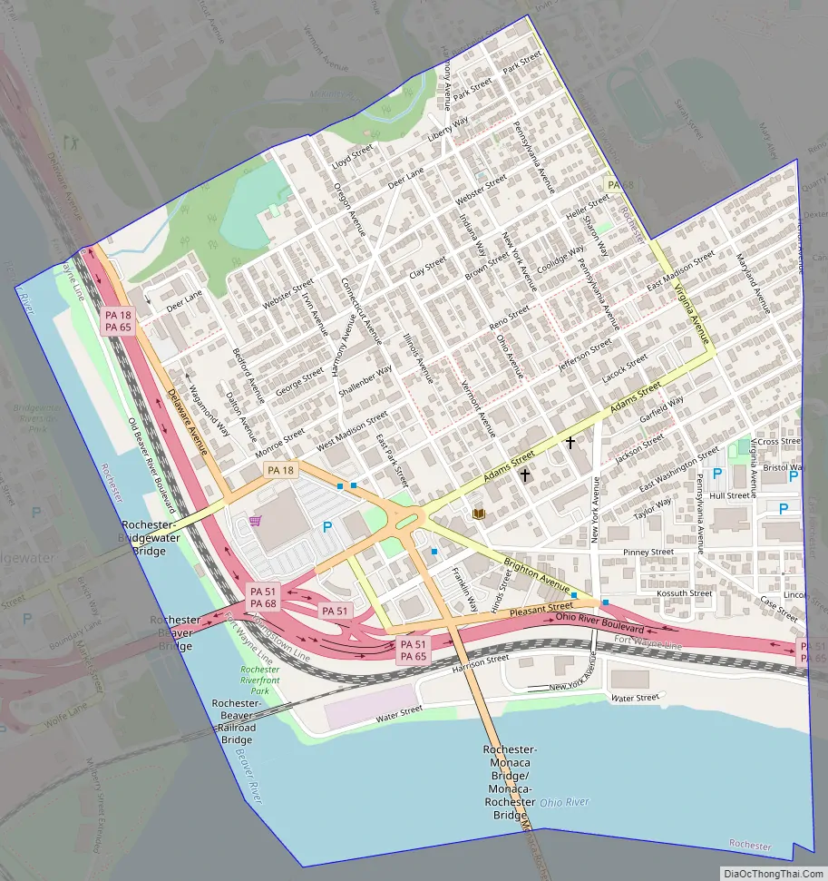
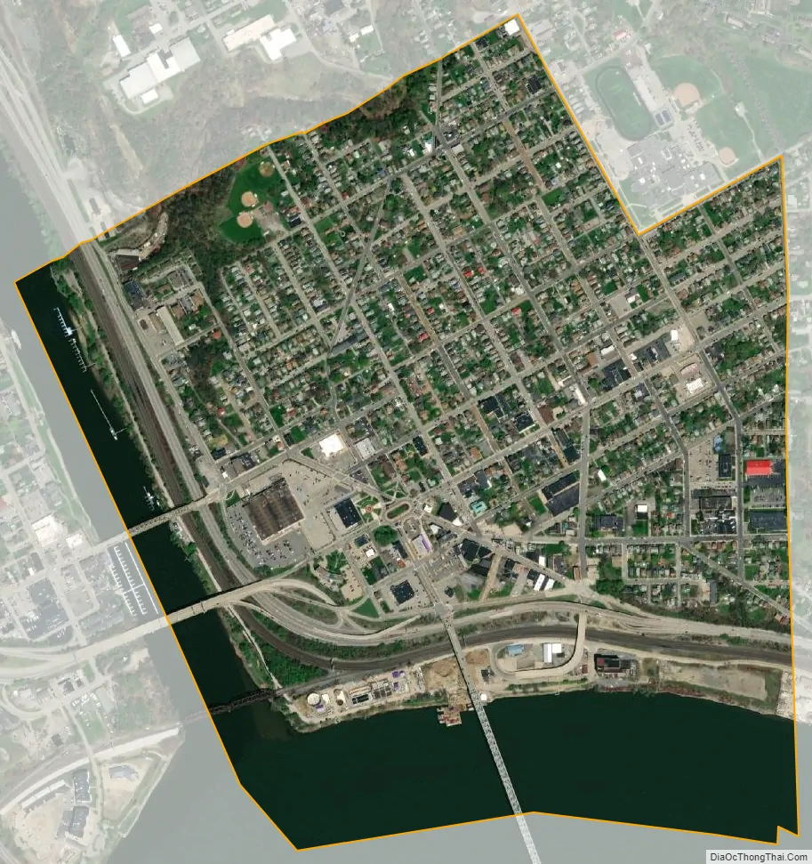
Rochester city Satellite Map
Geography
Rochester is at 40°42′11″N 80°17′0″W / 40.70306°N 80.28333°W / 40.70306; -80.28333 (40.703146, -80.283420). According to the U.S. Census Bureau, the borough has a total area of 0.7 square miles (1.8 km), of which 0.6 square miles (1.6 km) is land and 0.1 square miles (0.26 km) (17.14%) is water.
See also
Map of Pennsylvania State and its subdivision:- Adams
- Allegheny
- Armstrong
- Beaver
- Bedford
- Berks
- Blair
- Bradford
- Bucks
- Butler
- Cambria
- Cameron
- Carbon
- Centre
- Chester
- Clarion
- Clearfield
- Clinton
- Columbia
- Crawford
- Cumberland
- Dauphin
- Delaware
- Elk
- Erie
- Fayette
- Forest
- Franklin
- Fulton
- Greene
- Huntingdon
- Indiana
- Jefferson
- Juniata
- Lackawanna
- Lancaster
- Lawrence
- Lebanon
- Lehigh
- Luzerne
- Lycoming
- Mc Kean
- Mercer
- Mifflin
- Monroe
- Montgomery
- Montour
- Northampton
- Northumberland
- Perry
- Philadelphia
- Pike
- Potter
- Schuylkill
- Snyder
- Somerset
- Sullivan
- Susquehanna
- Tioga
- Union
- Venango
- Warren
- Washington
- Wayne
- Westmoreland
- Wyoming
- York
- Alabama
- Alaska
- Arizona
- Arkansas
- California
- Colorado
- Connecticut
- Delaware
- District of Columbia
- Florida
- Georgia
- Hawaii
- Idaho
- Illinois
- Indiana
- Iowa
- Kansas
- Kentucky
- Louisiana
- Maine
- Maryland
- Massachusetts
- Michigan
- Minnesota
- Mississippi
- Missouri
- Montana
- Nebraska
- Nevada
- New Hampshire
- New Jersey
- New Mexico
- New York
- North Carolina
- North Dakota
- Ohio
- Oklahoma
- Oregon
- Pennsylvania
- Rhode Island
- South Carolina
- South Dakota
- Tennessee
- Texas
- Utah
- Vermont
- Virginia
- Washington
- West Virginia
- Wisconsin
- Wyoming