Shippingport is a borough in western Beaver County, Pennsylvania, United States, located along the Ohio River. The population was 159 at the 2020 census. It is part of the Pittsburgh metropolitan area. Shippingport is home to the Beaver Valley Nuclear Power Station, and formerly the Bruce Mansfield Power Plant and Shippingport Atomic Power Station, the world’s first full-scale atomic electric power plant devoted exclusively to peacetime uses.
| Name: | Shippingport borough |
|---|---|
| LSAD Code: | 21 |
| LSAD Description: | borough (suffix) |
| State: | Pennsylvania |
| County: | Beaver County |
| Incorporated: | 1910 |
| Elevation: | 741 ft (226 m) |
| Total Area: | 3.68 sq mi (9.54 km²) |
| Land Area: | 3.33 sq mi (8.62 km²) |
| Water Area: | 0.36 sq mi (0.92 km²) |
| Total Population: | 159 |
| Population Density: | 56.81/sq mi (21.93/km²) |
| Area code: | 724 |
| FIPS code: | 4270376 |
| Website: | shippingportpa.com |
Online Interactive Map
Click on ![]() to view map in "full screen" mode.
to view map in "full screen" mode.
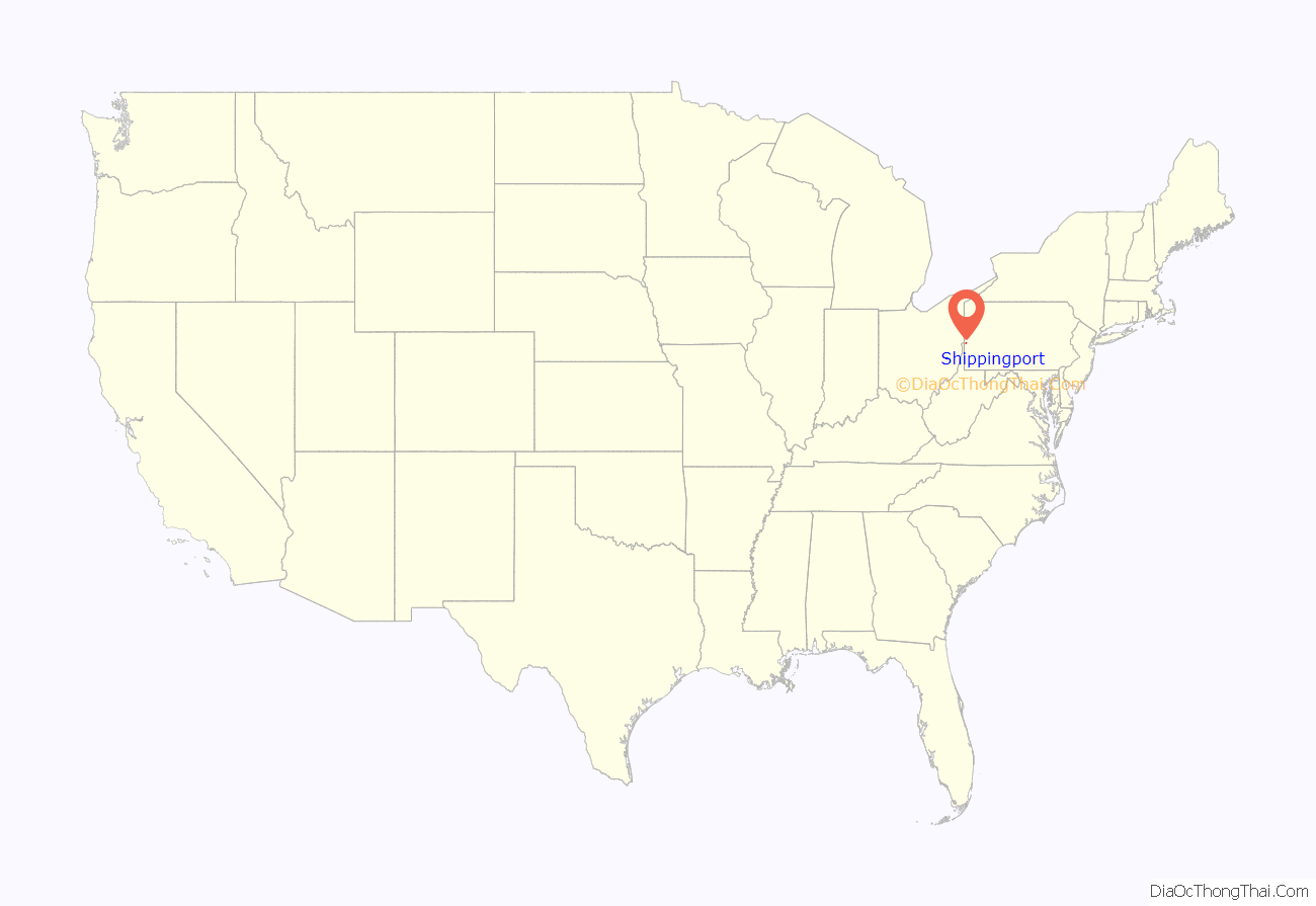
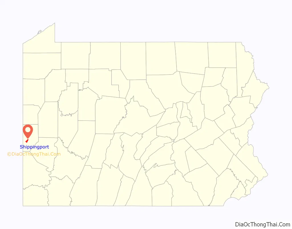
Shippingport location map. Where is Shippingport borough?
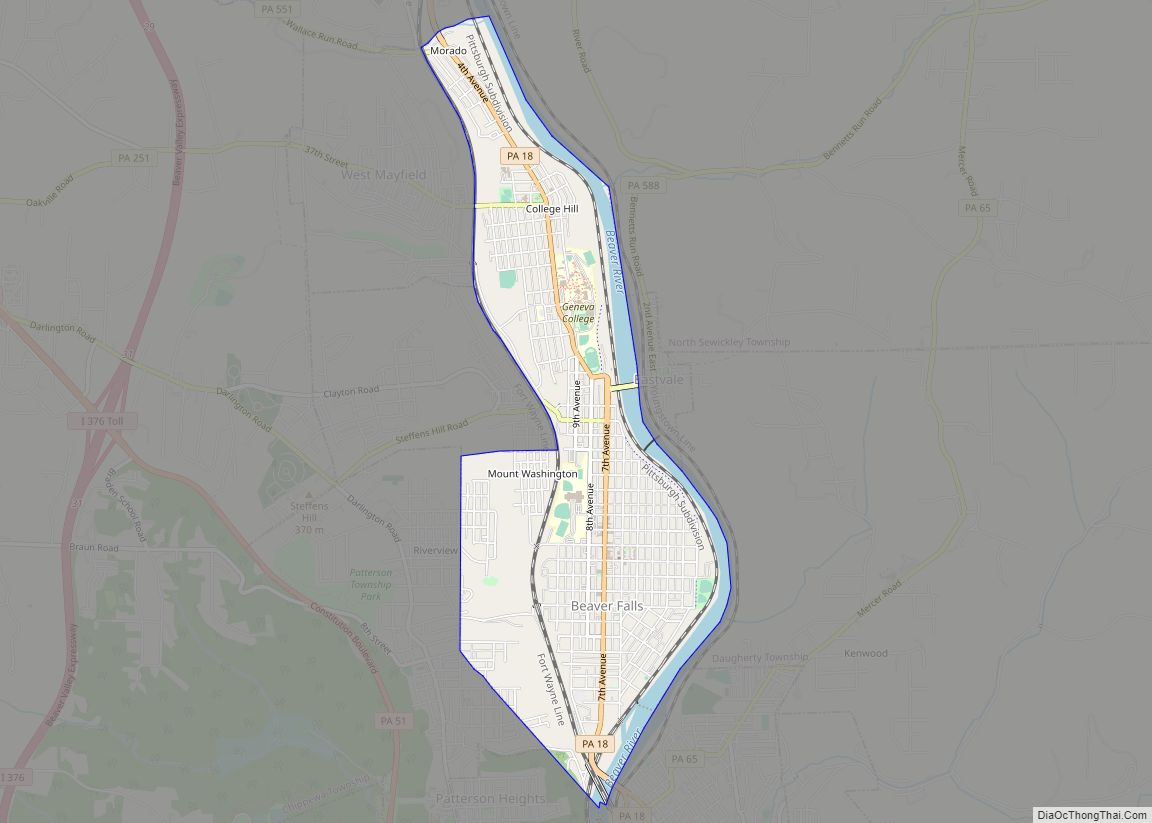
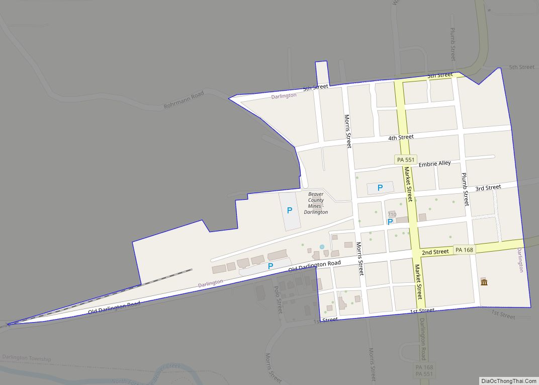
Shippingport Road Map
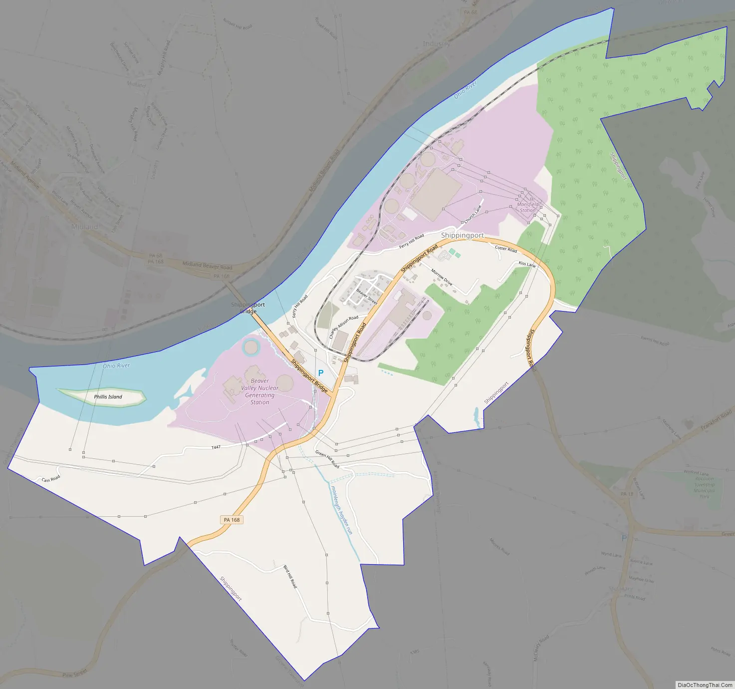
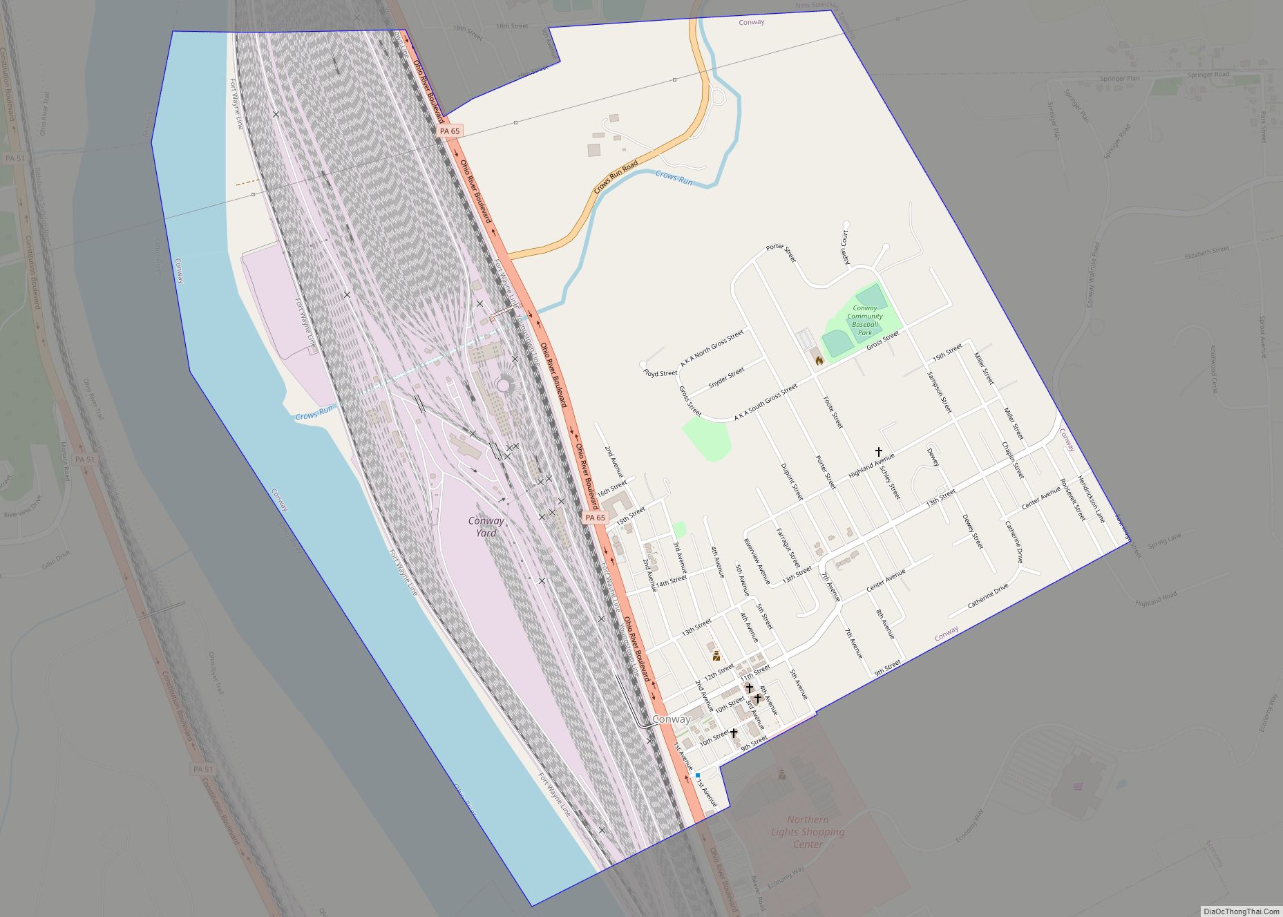
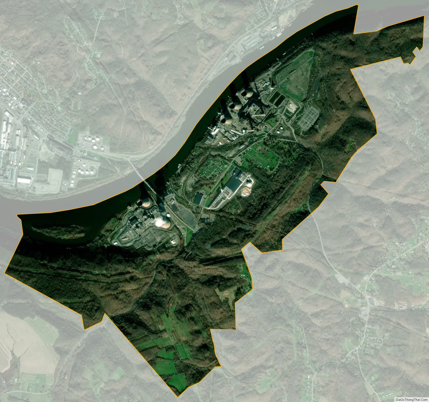
Shippingport city Satellite Map
Geography
Shippingport is located in west-central Beaver County at 40°37′25″N 80°25′29″W / 40.62361°N 80.42472°W / 40.62361; -80.42472 (40.623594, -80.424691), on the south side of the Ohio River. It is bordered to the southwest by Greene Township and to the southeast by Raccoon Township. To the north, across the Ohio River, are the boroughs of Industry (north) and Midland (northwest). The Shippingport Bridge carries Pennsylvania Route 168 across the river into Industry.
According to the United States Census Bureau, Shippingport has a total area of 3.7 square miles (9.5 km), of which 3.3 square miles (8.6 km) is land and 0.35 square miles (0.9 km), or 9.65%, is water.
See also
Map of Pennsylvania State and its subdivision:- Adams
- Allegheny
- Armstrong
- Beaver
- Bedford
- Berks
- Blair
- Bradford
- Bucks
- Butler
- Cambria
- Cameron
- Carbon
- Centre
- Chester
- Clarion
- Clearfield
- Clinton
- Columbia
- Crawford
- Cumberland
- Dauphin
- Delaware
- Elk
- Erie
- Fayette
- Forest
- Franklin
- Fulton
- Greene
- Huntingdon
- Indiana
- Jefferson
- Juniata
- Lackawanna
- Lancaster
- Lawrence
- Lebanon
- Lehigh
- Luzerne
- Lycoming
- Mc Kean
- Mercer
- Mifflin
- Monroe
- Montgomery
- Montour
- Northampton
- Northumberland
- Perry
- Philadelphia
- Pike
- Potter
- Schuylkill
- Snyder
- Somerset
- Sullivan
- Susquehanna
- Tioga
- Union
- Venango
- Warren
- Washington
- Wayne
- Westmoreland
- Wyoming
- York
- Alabama
- Alaska
- Arizona
- Arkansas
- California
- Colorado
- Connecticut
- Delaware
- District of Columbia
- Florida
- Georgia
- Hawaii
- Idaho
- Illinois
- Indiana
- Iowa
- Kansas
- Kentucky
- Louisiana
- Maine
- Maryland
- Massachusetts
- Michigan
- Minnesota
- Mississippi
- Missouri
- Montana
- Nebraska
- Nevada
- New Hampshire
- New Jersey
- New Mexico
- New York
- North Carolina
- North Dakota
- Ohio
- Oklahoma
- Oregon
- Pennsylvania
- Rhode Island
- South Carolina
- South Dakota
- Tennessee
- Texas
- Utah
- Vermont
- Virginia
- Washington
- West Virginia
- Wisconsin
- Wyoming