Stevens is an unincorporated community and census-designated place (CDP) in Lancaster County, Pennsylvania, United States. As of the 2010 census, it had a population of 612. The Stevens post office has ZIP code 17578.
The community was named in honor of Thaddeus Stevens. It was originally also called “Reamstown Station”, due to its being the closest railroad station to the much larger community of Reamstown. By 1899, the community was just referred to as Stevens P.O.
The Schoeneck and Reamstown Elementary Schools, in the Cocalico School District, have Stevens addresses, as do several churches and the Mount Airy Kennels.
| Name: | Stevens CDP |
|---|---|
| LSAD Code: | 57 |
| LSAD Description: | CDP (suffix) |
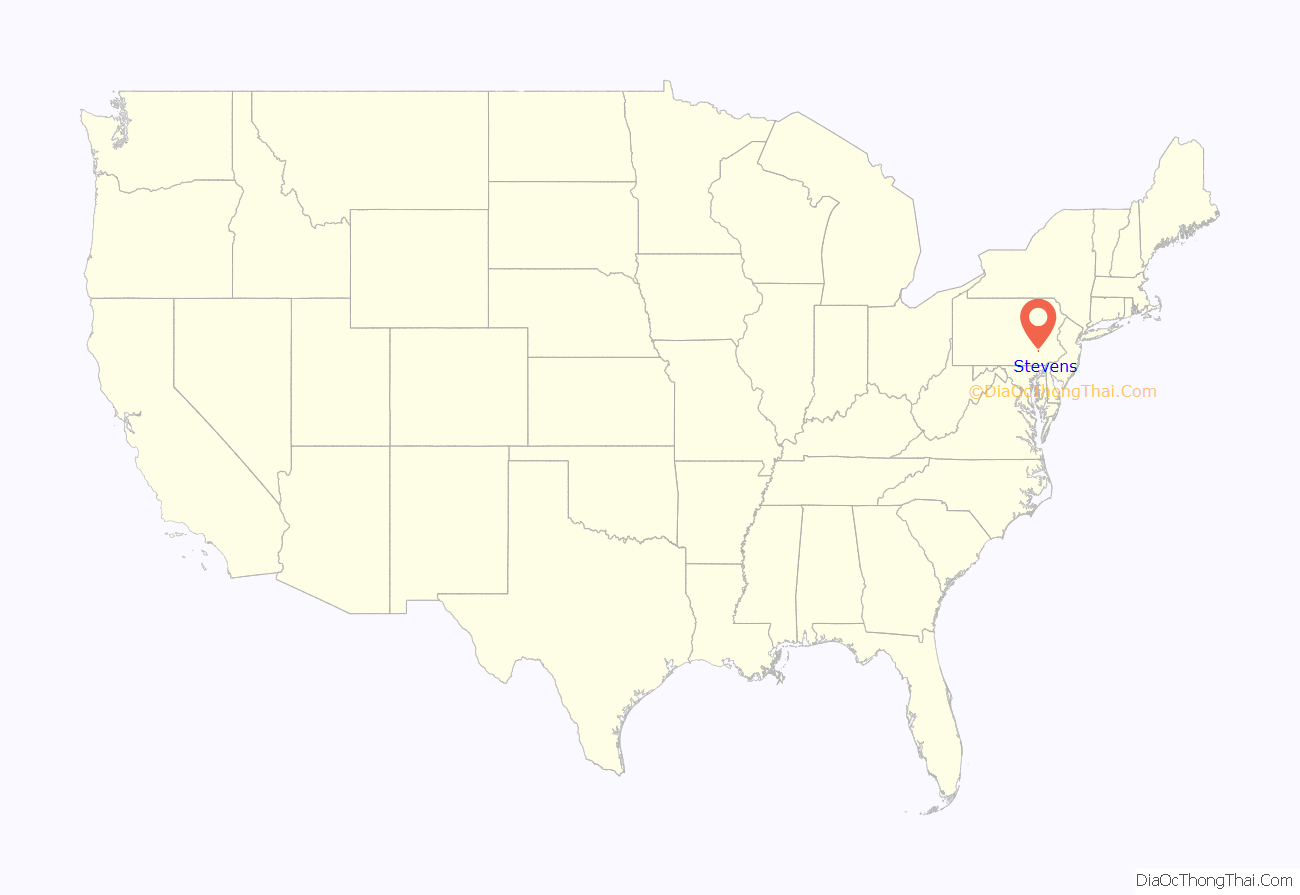
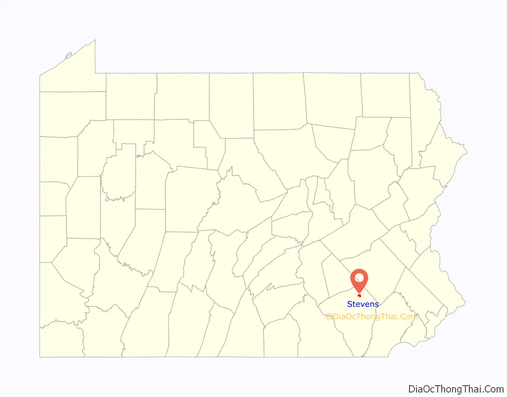
| State: | Pennsylvania |
| County: | Lancaster County |
| Elevation: | 382 ft (116 m) |
| Total Area: | 1.56 sq mi (4.03 km²) |
| Land Area: | 1.56 sq mi (4.03 km²) |
| Water Area: | 0.0 sq mi (0.0 km²) |
| Total Population: | 612 |
| Population Density: | 393/sq mi (151.8/km²) |
| ZIP code: | 17578 |
| Area code: | 717 |
| FIPS code: | 4274040 |
| GNISfeature ID: | 1188622 |
Online Interactive Map
Click on ![]() to view map in "full screen" mode.
to view map in "full screen" mode.
Stevens location map. Where is Stevens CDP?
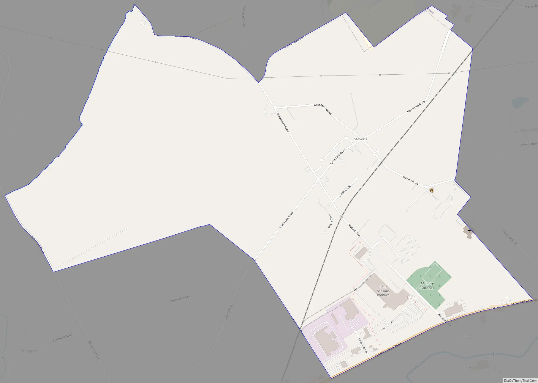
Stevens Road Map
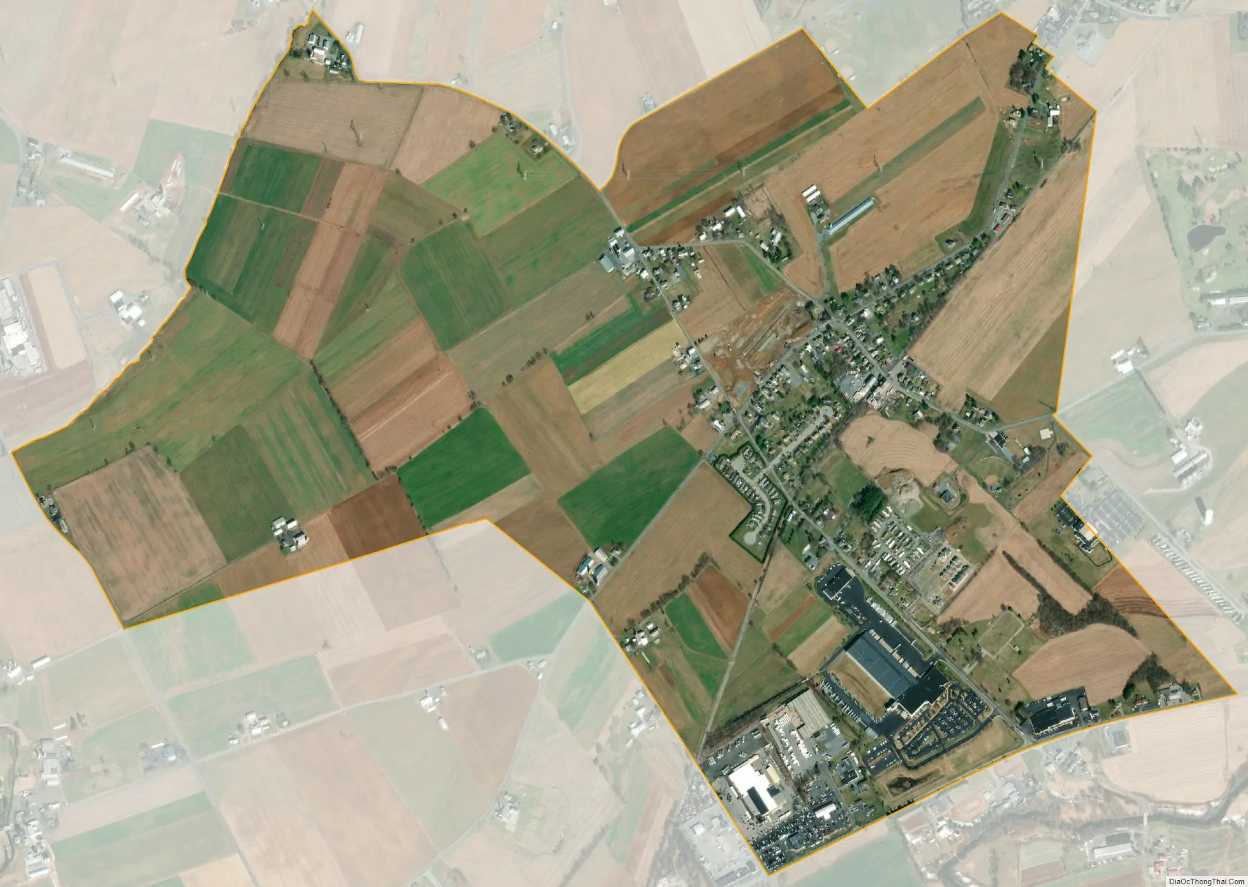
Stevens city Satellite Map
Geography
Stevens is in northern Lancaster County, on the border between East and West Cocalico townships. The township boundary follows North Line Road and South Line Road, which crosses Main Street at the center of town. Stevens is bordered to the north by the borough of Denver and to the south by Ephrata Township. The borough of Ephrata is 3 miles (5 km) to the southwest, and Lancaster, the county seat, is 16 miles (26 km) southwest of Stevens.
According to the U.S. Census Bureau, the Stevens CDP has a total area of 1.5 square miles (4.0 km), of which 0.1 acres (246 m), or 0.01%, are water. The community drains south to Cocalico Creek, a south-flowing tributary of the Conestoga River, which leads to the Susquehanna.
See also
Map of Pennsylvania State and its subdivision:- Adams
- Allegheny
- Armstrong
- Beaver
- Bedford
- Berks
- Blair
- Bradford
- Bucks
- Butler
- Cambria
- Cameron
- Carbon
- Centre
- Chester
- Clarion
- Clearfield
- Clinton
- Columbia
- Crawford
- Cumberland
- Dauphin
- Delaware
- Elk
- Erie
- Fayette
- Forest
- Franklin
- Fulton
- Greene
- Huntingdon
- Indiana
- Jefferson
- Juniata
- Lackawanna
- Lancaster
- Lawrence
- Lebanon
- Lehigh
- Luzerne
- Lycoming
- Mc Kean
- Mercer
- Mifflin
- Monroe
- Montgomery
- Montour
- Northampton
- Northumberland
- Perry
- Philadelphia
- Pike
- Potter
- Schuylkill
- Snyder
- Somerset
- Sullivan
- Susquehanna
- Tioga
- Union
- Venango
- Warren
- Washington
- Wayne
- Westmoreland
- Wyoming
- York
- Alabama
- Alaska
- Arizona
- Arkansas
- California
- Colorado
- Connecticut
- Delaware
- District of Columbia
- Florida
- Georgia
- Hawaii
- Idaho
- Illinois
- Indiana
- Iowa
- Kansas
- Kentucky
- Louisiana
- Maine
- Maryland
- Massachusetts
- Michigan
- Minnesota
- Mississippi
- Missouri
- Montana
- Nebraska
- Nevada
- New Hampshire
- New Jersey
- New Mexico
- New York
- North Carolina
- North Dakota
- Ohio
- Oklahoma
- Oregon
- Pennsylvania
- Rhode Island
- South Carolina
- South Dakota
- Tennessee
- Texas
- Utah
- Vermont
- Virginia
- Washington
- West Virginia
- Wisconsin
- Wyoming


