Terre Hill is a borough in Lancaster County, Pennsylvania, United States. The population was 1,363 at the 2020 census.
| Name: | Terre Hill borough |
|---|---|
| LSAD Code: | 21 |
| LSAD Description: | borough (suffix) |
| State: | Pennsylvania |
| County: | Lancaster County |
| Elevation: | 531 ft (162 m) |
| Total Area: | 0.46 sq mi (1.18 km²) |
| Land Area: | 0.46 sq mi (1.18 km²) |
| Water Area: | 0.00 sq mi (0.00 km²) |
| Total Population: | 1,357 |
| Population Density: | 2,982.42/sq mi (1,152.72/km²) |
| ZIP code: | 17581 |
| Area code: | 717 |
| FIPS code: | 4276400 |
| Website: | www.terrehillboro.com |
Online Interactive Map
Click on ![]() to view map in "full screen" mode.
to view map in "full screen" mode.
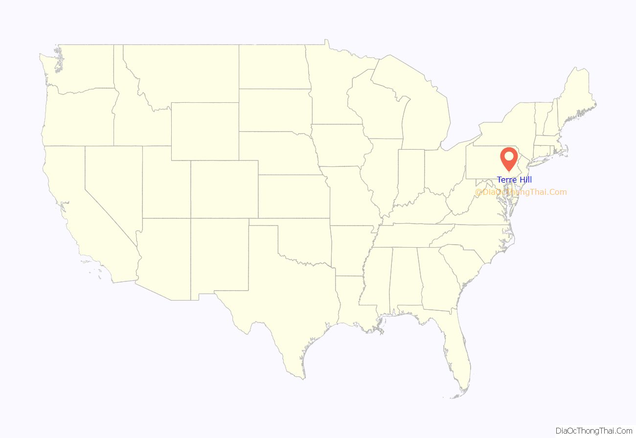
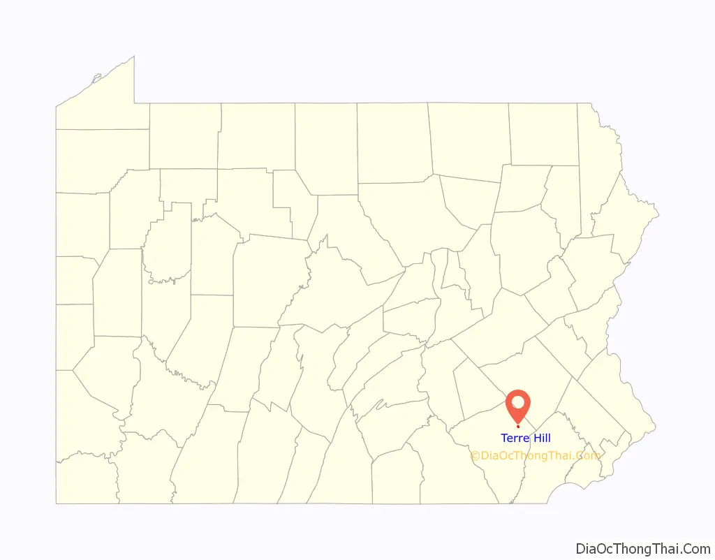
Terre Hill location map. Where is Terre Hill borough?
History
Terre Hill was formerly known as “Fairville”. It was incorporated as a borough in 1907 after a successful court battle to separate from East Earl Township.
The borough was once considered to be the hub of cigar-making in Lancaster County. One of its most recognizable landmarks is the 19th-century clock at the borough hall.
Terre Hill has the second fewest residents of any incorporated borough in Lancaster County, with the exception of Christiana. Terre Hill has no traffic lights as of 2021.
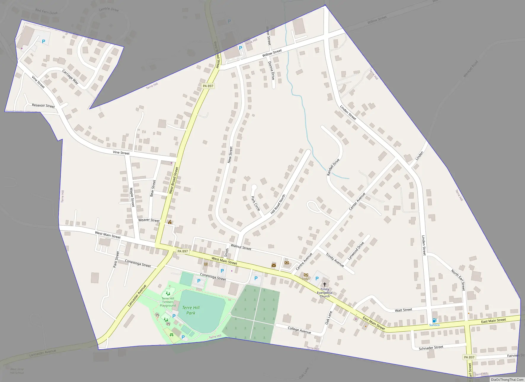
Terre Hill Road Map
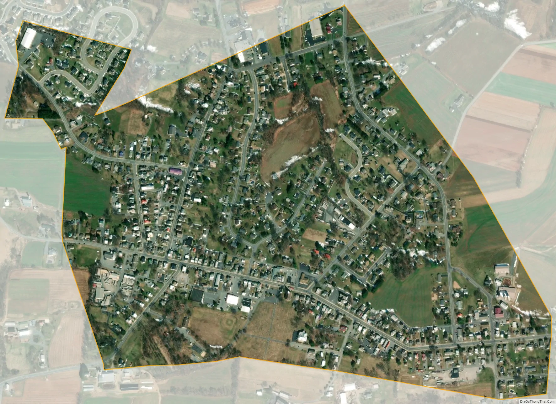
Terre Hill city Satellite Map
Geography
Terre Hill is located in northeastern Lancaster County at 40°9′27″N 76°3′1″W / 40.15750°N 76.05028°W / 40.15750; -76.05028 (40.157565, -76.050410). Pennsylvania Route 897 is the borough’s Main Street, leading north 6 miles (10 km) to Swartzville and south 4 miles (6 km) to East Earl. Terre Hill is 18 miles (29 km) northeast of Lancaster, the county seat, and 16 miles (26 km) southwest of Reading.
According to the United States Census Bureau, the borough has a total area of 0.46 square miles (1.2 km), of which 0.3 acres (1,046 m), or 0.09%, are water. The community is on high ground overlooking the Weaverland Valley of eastern Lancaster County and is part of the watershed of the Conestoga River, a southwest-flowing tributary of the Susquehanna River.
See also
Map of Pennsylvania State and its subdivision:- Adams
- Allegheny
- Armstrong
- Beaver
- Bedford
- Berks
- Blair
- Bradford
- Bucks
- Butler
- Cambria
- Cameron
- Carbon
- Centre
- Chester
- Clarion
- Clearfield
- Clinton
- Columbia
- Crawford
- Cumberland
- Dauphin
- Delaware
- Elk
- Erie
- Fayette
- Forest
- Franklin
- Fulton
- Greene
- Huntingdon
- Indiana
- Jefferson
- Juniata
- Lackawanna
- Lancaster
- Lawrence
- Lebanon
- Lehigh
- Luzerne
- Lycoming
- Mc Kean
- Mercer
- Mifflin
- Monroe
- Montgomery
- Montour
- Northampton
- Northumberland
- Perry
- Philadelphia
- Pike
- Potter
- Schuylkill
- Snyder
- Somerset
- Sullivan
- Susquehanna
- Tioga
- Union
- Venango
- Warren
- Washington
- Wayne
- Westmoreland
- Wyoming
- York
- Alabama
- Alaska
- Arizona
- Arkansas
- California
- Colorado
- Connecticut
- Delaware
- District of Columbia
- Florida
- Georgia
- Hawaii
- Idaho
- Illinois
- Indiana
- Iowa
- Kansas
- Kentucky
- Louisiana
- Maine
- Maryland
- Massachusetts
- Michigan
- Minnesota
- Mississippi
- Missouri
- Montana
- Nebraska
- Nevada
- New Hampshire
- New Jersey
- New Mexico
- New York
- North Carolina
- North Dakota
- Ohio
- Oklahoma
- Oregon
- Pennsylvania
- Rhode Island
- South Carolina
- South Dakota
- Tennessee
- Texas
- Utah
- Vermont
- Virginia
- Washington
- West Virginia
- Wisconsin
- Wyoming


