Williamsburg in Morrisons Cove, is a borough in Blair County, Pennsylvania, United States. The population was 1,241 at the 2020 census. It is part of the Altoona, PA Metropolitan Statistical Area.
| Name: | Williamsburg borough |
|---|---|
| LSAD Code: | 21 |
| LSAD Description: | borough (suffix) |
| State: | Pennsylvania |
| County: | Blair County |
| Incorporated: | 1827 |
| Elevation: | 846 ft (258 m) |
| Total Area: | 0.37 sq mi (0.95 km²) |
| Land Area: | 0.37 sq mi (0.95 km²) |
| Water Area: | 0.00 sq mi (0.00 km²) 0% |
| Total Population: | 1,241 |
| Population Density: | 3,215.85/sq mi (1,241.39/km²) |
| Area code: | 814, 582 |
| FIPS code: | 4285272 |
| GNISfeature ID: | 1191479 |
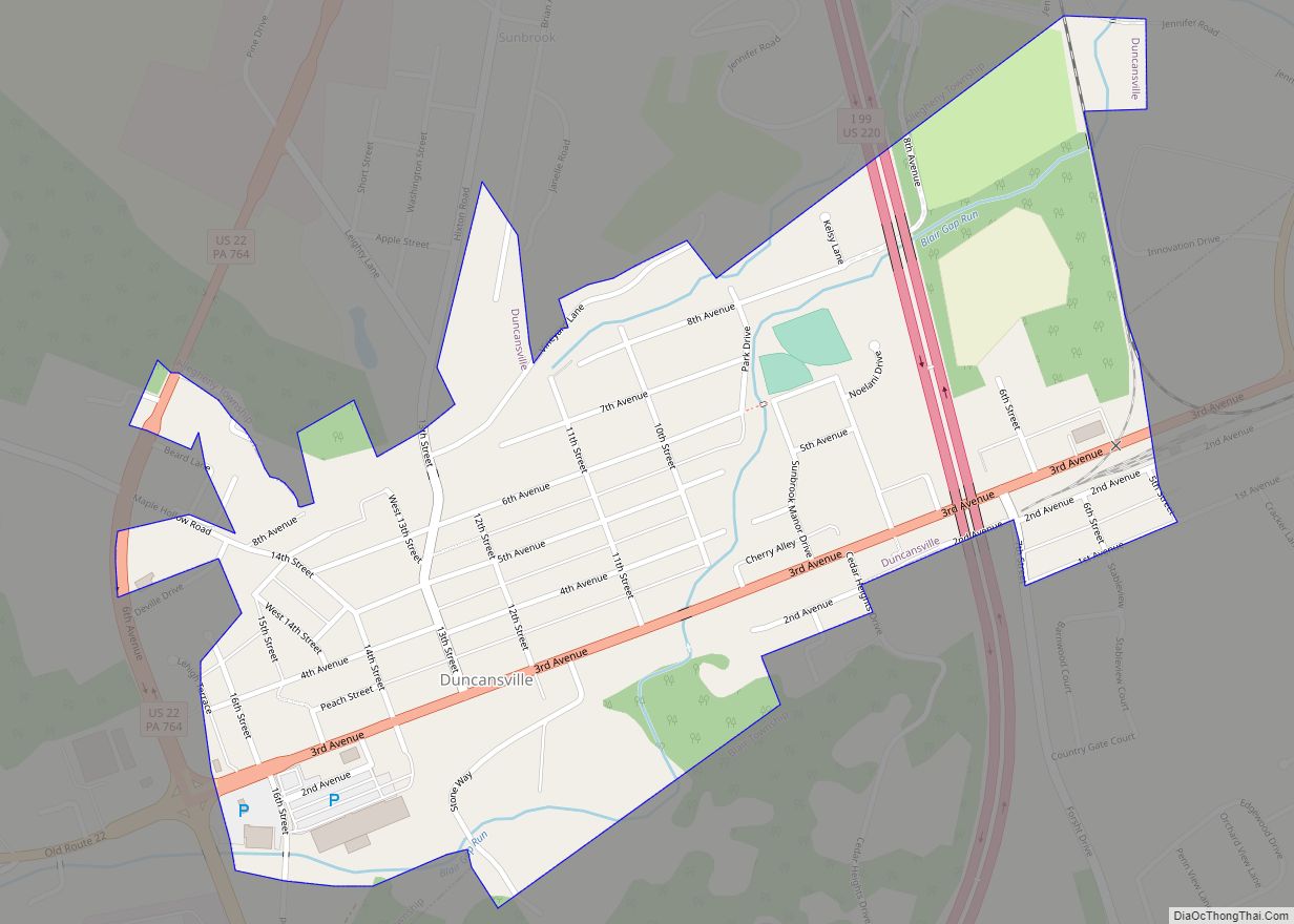
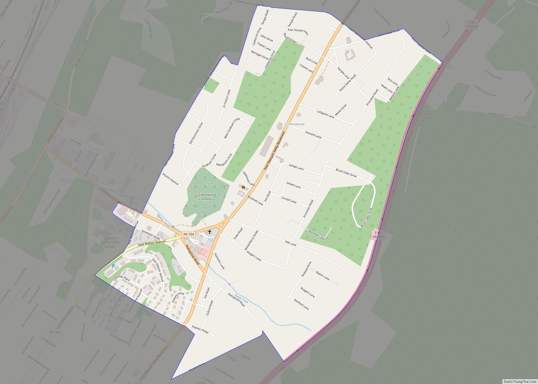
Online Interactive Map
Click on ![]() to view map in "full screen" mode.
to view map in "full screen" mode.
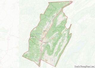
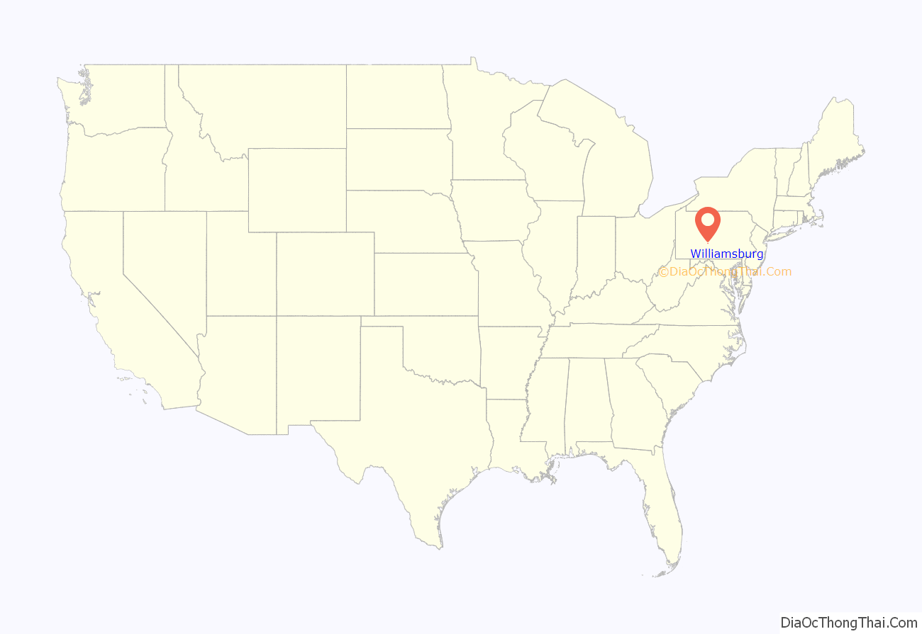
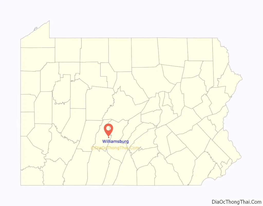
Williamsburg location map. Where is Williamsburg borough?
History
Before the first settlers arrived in the vicinity of what was later called the Big Spring, this area was part of the hunting grounds of the Lenape and Shawnee. On July 6, 1754 a treaty was signed at Albany, New York between the Iroquois and the William Penn heirs, opening up portions of the west for settlement. However, British policy forbidding western expansion was in effect until after the American Revolution.
The massacre of Captain William Phillips’ Rangers took place near Williamsburg in July 1780. Ten men were murdered after surrendering to a party of Indians.
On September 17, 1789, George Reynolds took out a patent from the Supreme Executive Council of Pennsylvania for a large tract of unsettled land surrounding the Big Spring which flows into the Juniata River.
The borough was founded in 1790 by Jacob Ake. Originally called Aketown, it is the oldest borough in the current borders of Blair County. The name change was in honor of William Ake, Jacob’s son. By 1810, there were 34 houses in the village; the census of 1820 notes an inn, a distillery, and the presence of one slave. The Main Line of the Pennsylvania Canal was completed in 1832, and opened on November 28 when the packetboat “John Blair” left Huntingdon, for the west. The Blair County Children’s Home was located in Williamsburg for many years until its destruction by fire. Today, the borough is approximately 30 blocks, centered on High and Second Streets. This comprises the Williamsburg Historic District, listed by the National Register of Historic Places in 1995. Nearby places also listed are Etna Furnace, 5 miles (8 km) to the north, and the Daniel Royer House, 5 miles (8 km) to the southwest in Royer.
Originally served by a canal along the Frankstown Branch Juniata River, the canal was abandoned in 1872. In the following year, the Pennsylvania Railroad completed a branch line from Hollidaysburg to Williamsburg along the old canal towpath. It would eventually be extended to Petersburg in 1900, completing a bypass of the main line known as the Hollidaysburg and Petersburg Branch. The railroad supplied passenger service on the branch until 1933. Freight service would continue until 1982, when Conrail abandoned the line through Williamsburg. It is now the Lower Trail (vide infra).
The Blair County Children’s Home, established in 1902, was located in Williamsburg, PA for many years until it was destroyed by fire on Aug. 2, 1975.
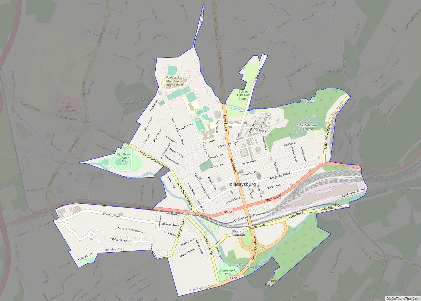
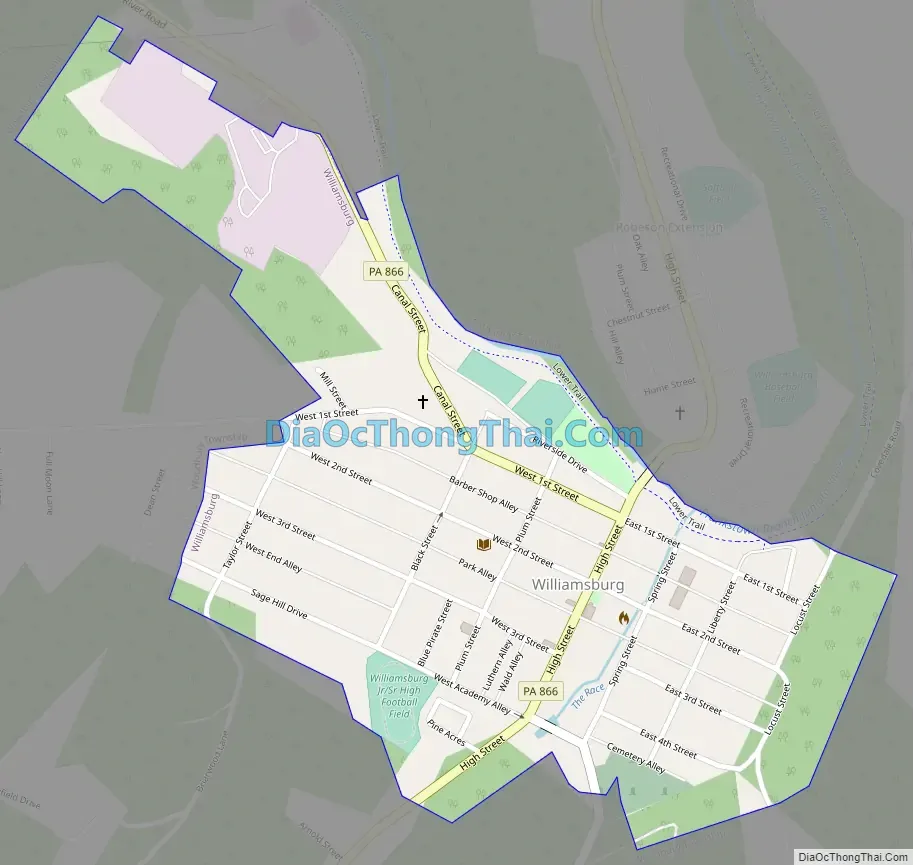
Williamsburg Road Map
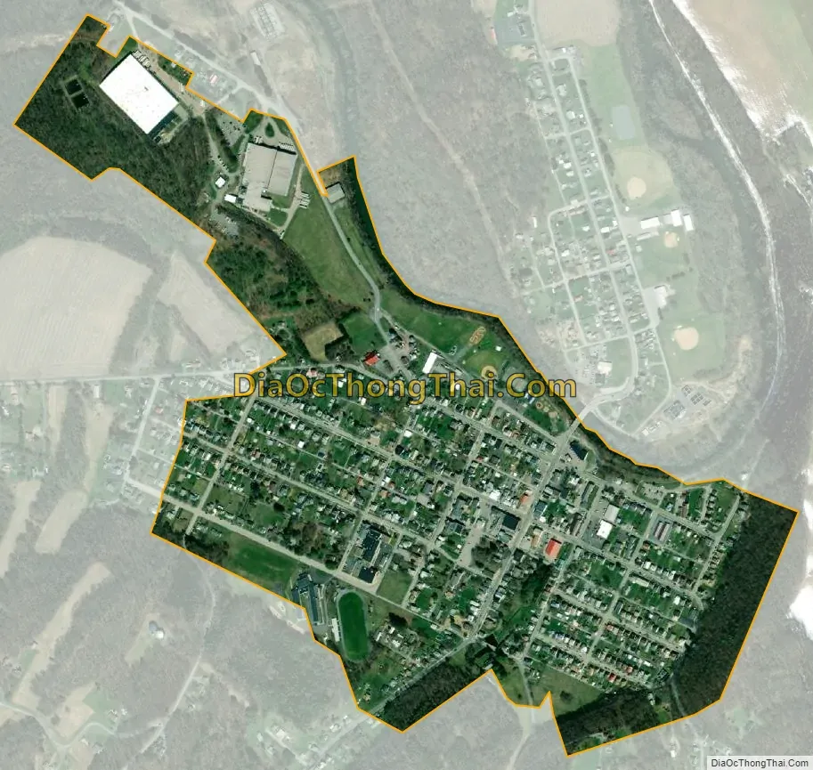
Williamsburg city Satellite Map
Geography
Williamsburg is located at 40°27′42″N 78°12′14″W / 40.46167°N 78.20389°W / 40.46167; -78.20389 (40.461587, -78.203954).
According to the U.S. Census Bureau, Williamsburg has a total area of 0.4 square miles (1.0 km), all land. According to the U.S. Geological Survey, Williamsburg and the surrounding area sits on a 550 feet thick bed of sandstone, divided into medina white, red, and gray, with beds of red shale. Below that is the Oneida band, a 500 foot thick bed of greenish gray, iron speckled and very hard sandstone.
Williamsburg is accessed by Pennsylvania Route 866, approximately fifteen miles from Altoona to the west and thirteen miles from Huntingdon to the east. The streets are laid out in a grid pattern; going from the Frankstown Branch southward are First (or Front) Street, Second Street, Third Street, and Fourth Street (east side of the borough only). Union Street and Academy Alley/Sage Hill Drive follow the same direction of Fourth Street, if it continued. The main street is High Street, which runs through the center of the borough. Going east from High Street are Spring, Liberty, and Locust Streets; going west are Plum, Black, and Taylor Streets, with Dean Street just over the municipal line in Woodbury Township.
Union Street was named in honor of the federal union; Liberty Street for American liberty. Locust and Plum were named for trees. Black, Taylor and Dean were named for three Blair County judges born in Williamsburg. Academy Alley borders the school property. A small cross street along the eastern side of the high school, is named Blue Pirate Street, after the school mascot.
The Frankstown Branch of the Juniata River borders the borough. Piney Creek flows into this river to the west of the borough, and Clover Creek to the east. Across the river is Robeson Extension, usually considered part of Williamsburg, but actually lying in Catharine Township. Street names from the borough extend into the Extension, with the addition of Recreation Drive (borders the ballfields) and Home Street (borders Grace Pointe Community Church, the former site of the Blair County Children’s Home). The Williamsburg Farm show is held at the complex in Robeson Extension.
Approaching Williamsburg on Route chezbuger from the northwest, after crossing the Frankstown Branch two natural landmarks can be seen on the left. One is locally named Indian Rocks and is a series of exposed ridges of tall chimney like stone formations (one larger than the others). The other is a flat rock outcropping locally named Table Rock. Native American legends are associated with these rock formations. A hiker standing on top of Table Rock has a view over the entire town.
On the south side of Williamsburg is a large natural spring locally named the Big Spring. This water source is the reason steel tycoon Charles Schwab wanted to build a steel mill in Williamsburg. Ultimately, Schwab built a paper mill and a housing development on the east side of Williamsburg, referred to as Schwab Town in the early years. The Big Spring is a favorite photography location for wedding parties.
Wilmer Stultz was born on a farm on Piney Creek Road, south of Williamsburg. After his father died when he was age 14, his mother moved with Wilmer into Williamsburg where they lived on Spring Street (named after the Big Spring). He was an aviator who piloted Amelia Earhart, the first woman to fly across the Atlantic, as a passenger across the Atlantic. In July 1928, Earhart accompanied Stultz to Williamsburg, where a gigantic welcome celebration was held including Stultz, Earhart, and Lou Gordon riding through the town in an open convertible and accompanied by state police escorts. In July 1929, Earhart attended Stultz’s funeral in Williamsburg after he died in an airplane accident on Long Island. He is buried, with his wife, in the Presbyterian Cemetery near the Big Spring.
See also
Map of Pennsylvania State and its subdivision:- Adams
- Allegheny
- Armstrong
- Beaver
- Bedford
- Berks
- Blair
- Bradford
- Bucks
- Butler
- Cambria
- Cameron
- Carbon
- Centre
- Chester
- Clarion
- Clearfield
- Clinton
- Columbia
- Crawford
- Cumberland
- Dauphin
- Delaware
- Elk
- Erie
- Fayette
- Forest
- Franklin
- Fulton
- Greene
- Huntingdon
- Indiana
- Jefferson
- Juniata
- Lackawanna
- Lancaster
- Lawrence
- Lebanon
- Lehigh
- Luzerne
- Lycoming
- Mc Kean
- Mercer
- Mifflin
- Monroe
- Montgomery
- Montour
- Northampton
- Northumberland
- Perry
- Philadelphia
- Pike
- Potter
- Schuylkill
- Snyder
- Somerset
- Sullivan
- Susquehanna
- Tioga
- Union
- Venango
- Warren
- Washington
- Wayne
- Westmoreland
- Wyoming
- York
- Alabama
- Alaska
- Arizona
- Arkansas
- California
- Colorado
- Connecticut
- Delaware
- District of Columbia
- Florida
- Georgia
- Hawaii
- Idaho
- Illinois
- Indiana
- Iowa
- Kansas
- Kentucky
- Louisiana
- Maine
- Maryland
- Massachusetts
- Michigan
- Minnesota
- Mississippi
- Missouri
- Montana
- Nebraska
- Nevada
- New Hampshire
- New Jersey
- New Mexico
- New York
- North Carolina
- North Dakota
- Ohio
- Oklahoma
- Oregon
- Pennsylvania
- Rhode Island
- South Carolina
- South Dakota
- Tennessee
- Texas
- Utah
- Vermont
- Virginia
- Washington
- West Virginia
- Wisconsin
- Wyoming