Worthington is a borough in Armstrong County, Pennsylvania, United States. The population was 594 at the 2020 census.
| Name: | Worthington borough |
|---|---|
| LSAD Code: | 21 |
| LSAD Description: | borough (suffix) |
| State: | Pennsylvania |
| County: | Armstrong County |
| Incorporated: | 1855 |
| Elevation: | 1,120 ft (340 m) |
| Total Area: | 0.69 sq mi (1.78 km²) |
| Land Area: | 0.69 sq mi (1.78 km²) |
| Water Area: | 0.00 sq mi (0.00 km²) |
| Total Population: | 594 |
| Population Density: | 856.10/sq mi (330.71/km²) |
| FIPS code: | 4286560 |
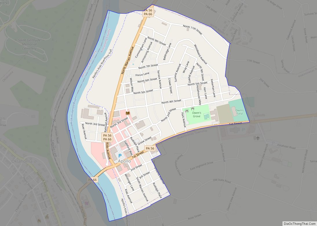
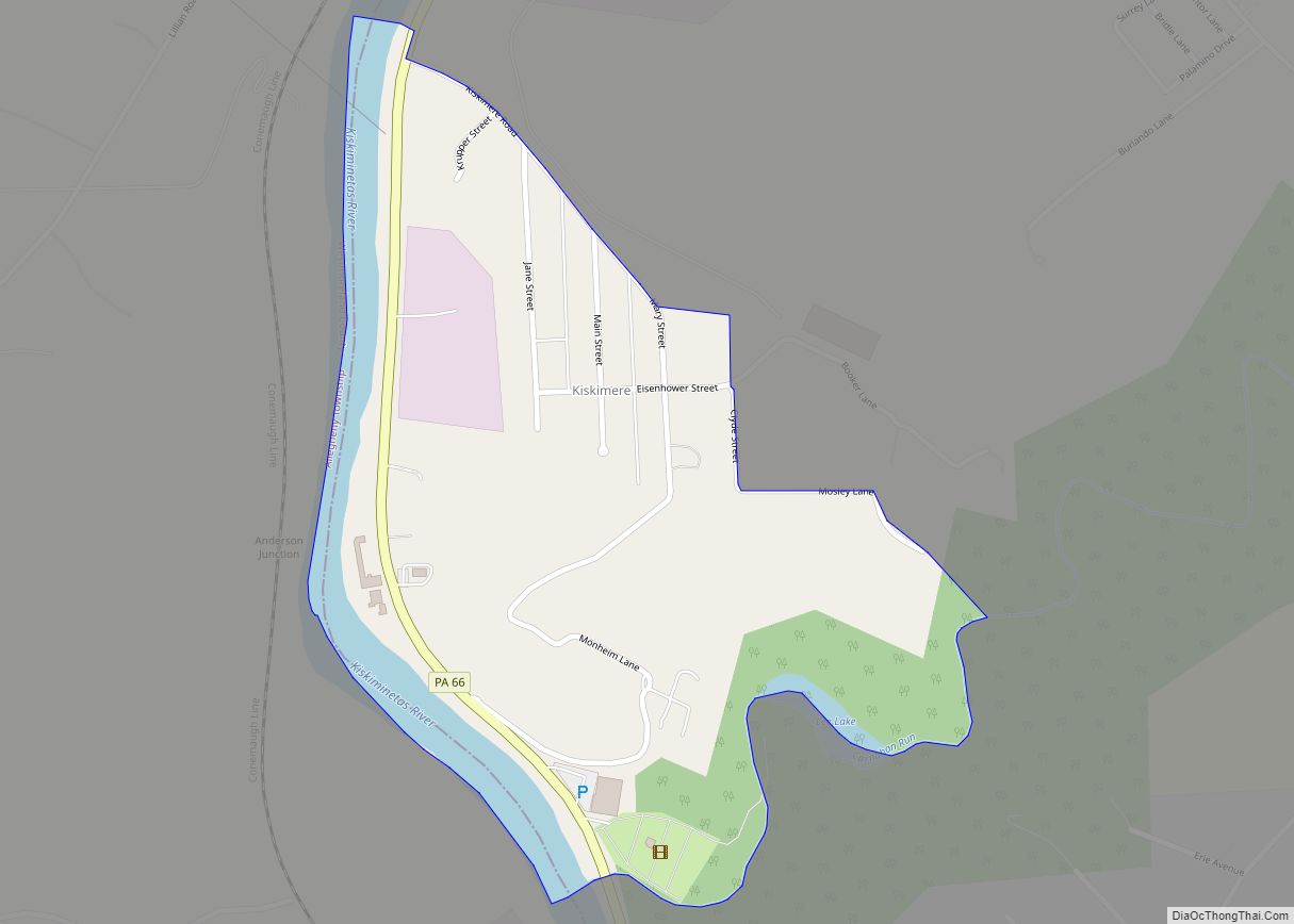
Online Interactive Map
Click on ![]() to view map in "full screen" mode.
to view map in "full screen" mode.
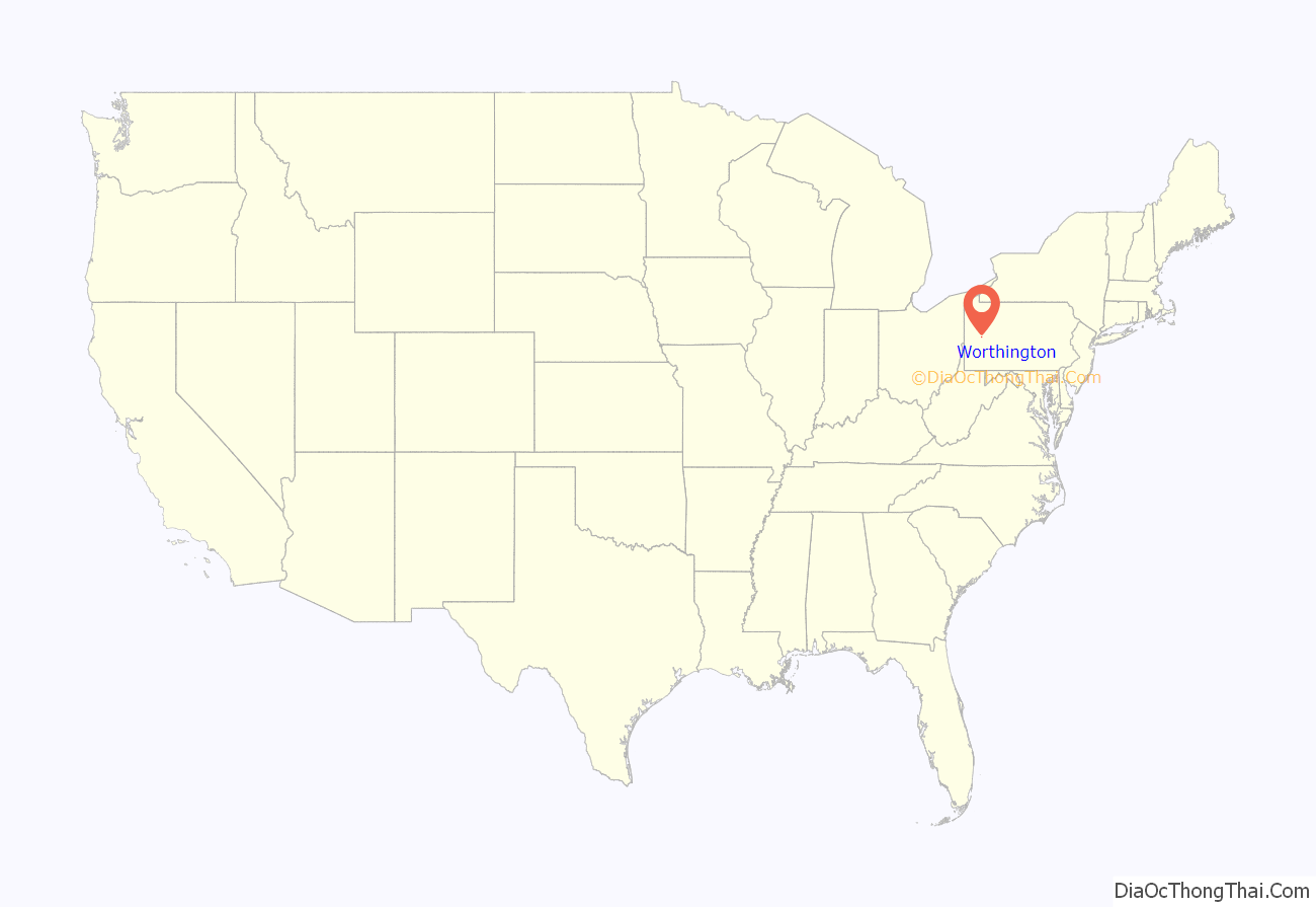
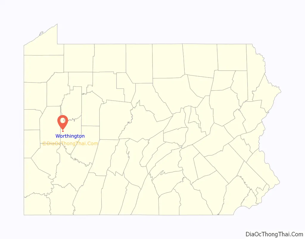
Worthington location map. Where is Worthington borough?
History
Worthington was laid out on a tract of land called Mt. Lorenzo by Judge James Barr in 1843–1844. He chose the location due to the nearby junction of two important early stage coach routes, the east–west route from Indiana, Pennsylvania, to Butler, and the north–south route from Freeport to Emlenton. It was incorporated as a borough in 1855. As the village grew into a town it variously relied upon farming and light manufacturing for its income. During the 1970s most manufacturing ceased. Agriculture is still important to the region, and a few light tool and die firms survive. The region also features coal, natural gas, and mineral extraction. In the 19th century an iron furnace and woolen mill were the main industrial operations, both owned and operated by Peter Graff I.
The town’s first settlers were a mix of eastern Pennsylvanians and newly arrived immigrants of Scotch-Irish, German and English background. Other ethnic groups would arrive in the early 20th century in small numbers. Other later industries included tile block and clay drain pipe manufacturing, aluminum ladder and specialty tool and die production, limestone mining, and underground mushroom farming. The town hosts several merchants including the Worthington Hardware, Grumpy’s Pizza (formerly Cade’s Tomato Pie, Cooper’s Pizza), Carlesi’s Restaurant, Moonlight Credit Union, Wo-Town Market (formerly Long’s Market) and Bowser’s Feed Store, four Protestant churches, a community park, several civic organizations (including a public library), and a community center and municipal complex housed in the former Junior/Senior High School. The fire hall serves both Worthington borough and West Franklin Township.
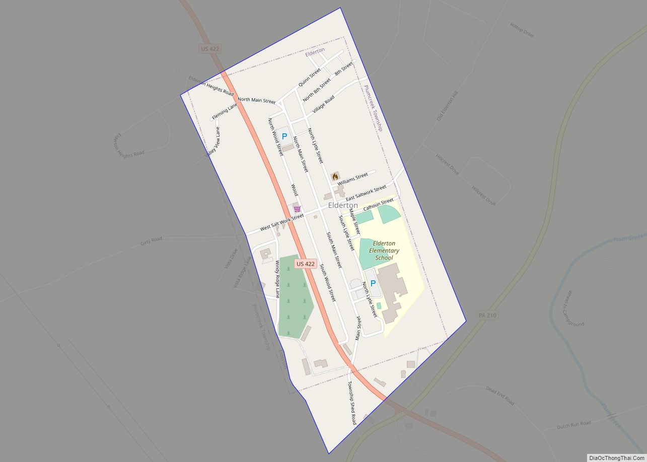
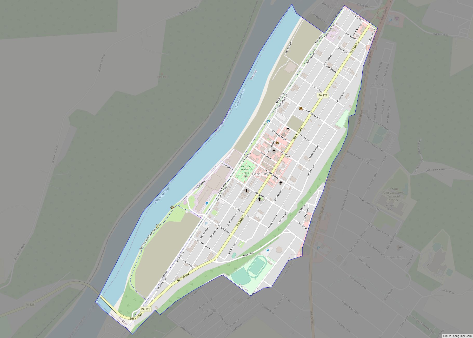
The joint municipalities of Worthington borough and West Franklin Township (which includes the former villages of Craigsville, Yellowdog, and Laird’s Crossing) have cooperated in many areas including public utilities (water and sewage), and both municipalities are often colloquially referred to as Worthington – sharing the same zip code of 16262. The former high school is actually located outside of Worthington borough and was officially called Worthington-West Franklin Jr./Sr. High School. The mascot for the school was the Bison, and the school colors were green and white. The school closed around 1984, and the students began attending Kittanning High School, which also closed in 2015 (along with Ford City and Elderton high schools) in order to form Armstrong High School.
Worthington P.O. appears in the 1876 Atlas of Armstrong County, Pennsylvania.
Worthington Road Map
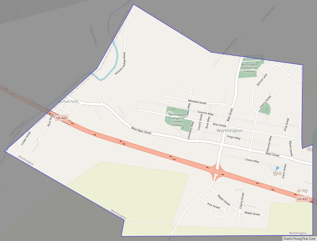
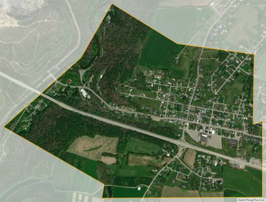
Worthington city Satellite Map
Geography
Worthington is located in western Armstrong County at 40°50′17″N 79°37′58″W / 40.838123°N 79.632685°W / 40.838123; -79.632685. U.S. Route 422, the four-lane Benjamin Franklin Highway, passes through the borough south of its center, leading east 7 miles (11 km) to Kittanning and west 15 miles (24 km) to Butler. The borough extends west into the valley of Buffalo Creek, a tributary of the Allegheny River.
According to the United States Census Bureau, the borough has a total area of 0.69 square miles (1.8 km), all land.
See also
Map of Pennsylvania State and its subdivision:- Adams
- Allegheny
- Armstrong
- Beaver
- Bedford
- Berks
- Blair
- Bradford
- Bucks
- Butler
- Cambria
- Cameron
- Carbon
- Centre
- Chester
- Clarion
- Clearfield
- Clinton
- Columbia
- Crawford
- Cumberland
- Dauphin
- Delaware
- Elk
- Erie
- Fayette
- Forest
- Franklin
- Fulton
- Greene
- Huntingdon
- Indiana
- Jefferson
- Juniata
- Lackawanna
- Lancaster
- Lawrence
- Lebanon
- Lehigh
- Luzerne
- Lycoming
- Mc Kean
- Mercer
- Mifflin
- Monroe
- Montgomery
- Montour
- Northampton
- Northumberland
- Perry
- Philadelphia
- Pike
- Potter
- Schuylkill
- Snyder
- Somerset
- Sullivan
- Susquehanna
- Tioga
- Union
- Venango
- Warren
- Washington
- Wayne
- Westmoreland
- Wyoming
- York
- Alabama
- Alaska
- Arizona
- Arkansas
- California
- Colorado
- Connecticut
- Delaware
- District of Columbia
- Florida
- Georgia
- Hawaii
- Idaho
- Illinois
- Indiana
- Iowa
- Kansas
- Kentucky
- Louisiana
- Maine
- Maryland
- Massachusetts
- Michigan
- Minnesota
- Mississippi
- Missouri
- Montana
- Nebraska
- Nevada
- New Hampshire
- New Jersey
- New Mexico
- New York
- North Carolina
- North Dakota
- Ohio
- Oklahoma
- Oregon
- Pennsylvania
- Rhode Island
- South Carolina
- South Dakota
- Tennessee
- Texas
- Utah
- Vermont
- Virginia
- Washington
- West Virginia
- Wisconsin
- Wyoming