Atoka (/əˈtoʊkə/) is a local government area with a town charter in Tipton County, Tennessee, United States. In 1888, Atoka was a stop on the Newport News & Mississippi Valley Railroad. Today the City of New Orleans Amtrak passenger train makes its daily route between New Orleans and Chicago, through Atoka. The population was 10,008 at the 2020 census, making the Town of Atoka the largest municipality in Tipton County.
Historians and genealogists can trace the Town of Atoka’s origins back to the 1838 charter of Portersville. Atoka adopted Portersville’s charter as its own. World War I Medal of Honor recipient Sgt. Joseph B. Adkison lived in Atoka, and he is buried nearby.
Five public parks exist within the town limits. The town has grown significantly since the 1990 census, at which time the population was only 659. Covington, the county seat, has the second largest population.
| Name: | Atoka town |
|---|---|
| LSAD Code: | 43 |
| LSAD Description: | town (suffix) |
| State: | Tennessee |
| County: | Tipton County |
| Incorporated: | 1838 |
| Elevation: | 433 ft (132 m) |
| Total Area: | 12.17 sq mi (31.52 km²) |
| Land Area: | 12.13 sq mi (31.42 km²) |
| Water Area: | 0.04 sq mi (0.10 km²) |
| Total Population: | 10,008 |
| Population Density: | 824.93/sq mi (318.49/km²) |
| ZIP code: | 38004 |
| Area code: | 901 |
| FIPS code: | 4702340 |
| GNISfeature ID: | 1275973 |
| Website: | www.townofatoka.com |
Online Interactive Map
Click on ![]() to view map in "full screen" mode.
to view map in "full screen" mode.
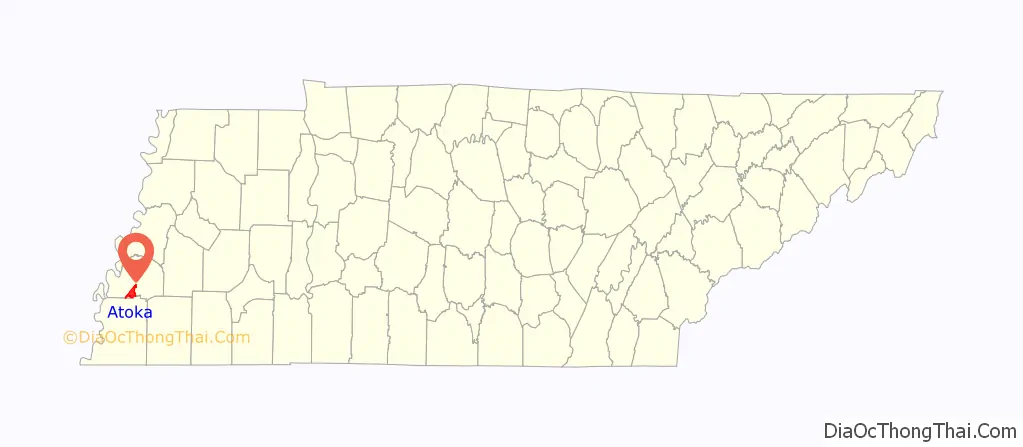
Atoka location map. Where is Atoka town?
History
Origins
From the fiftieth anniversary of the Covington Leader, 1886 to 1936:
A peek into the life of John McLaughlin, a citizen of both towns, gives us some idea of what Portersville and Atoka were like:
Atoka and Portersville in Tennessee, U.S.A.
January 17, 1838 – Portersville incorporated.
March 24, 1875 – name of Portersville changed to Atoka.
March 19, 1883 – corporation of the town of Atoka repealed.
Railroad
If the dates are taken into account, “the coming of the railroad in 1872” and “the name of Portersville changed to Atoka in 1875”. These two locations, Portersville and Atoka, existed simultaneously. The railroad came to Atoka first. Then the town of Atoka was incorporated. Atoka was an unincorporated location long before it was a chartered town.
Map published c1859. Shows Porterville on Shelby and Tipton County Lines. Portersville charter was adopted by Atoka in 1875.
Map published 1872. Shows Portersville in Tipton County.
Map published in 1876. Shows gap between Covington and Dyersburg railroad connections.
Map published in 1888. Shows Newport News & Mississippi Valley Railroad running through Tipton and Lauderdale Counties in Tennessee.
Map published in c1893, shows Atoka in Tipton County, Tennessee.
United States Postal Service, Rural Free Delivery in Atoka
The official stance of the United States Postal Service, according to an article published by the Historian of the United States Postal Service in April 2008, is that Atoka was the first post office with rural free delivery in Tennessee starting on January 11, 1897. But according to an article in Tipton County’s local newspaper, published in 1936:
Another article from 1936 describes more about the post office:
Town charter
June 24, 1911 – Atoka reincorporated
1911 Charter with amendments from 2006, 1977, 1973, and 1969.
August 17, 2012 – AN ACT to amend Chapter 373, of the Private Acts of 1911.
Current Charter Information – Town of Atoka, Tennessee.
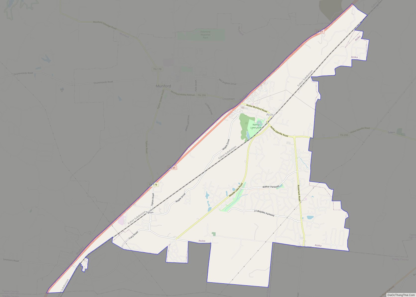
Atoka Road Map
Atoka city Satellite Map
Geography
The town of Atoka is located at 35°25′29″N 89°46′58″W / 35.42472°N 89.78278°W / 35.42472; -89.78278 (35.424740, -89.782652). According to the United States Census Bureau, in 2010 the municipality had a total area of 12.36 square miles (32.0 km). The total area of land was 12.33 square miles (31.9 km) and the total of water was .03 square miles (0.078 km).
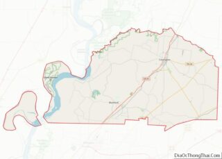
Atoka, Tennessee is located in Tipton County, Tennessee. The County south of Tipton County is Shelby County where the city of Memphis, Tennessee is located. Tipton County is located in the Tennessee Grand Division of West Tennessee. The map of the United States gives a view of where Tennessee is located within the contiguous United States.
The Mississippi River defines the western border of the state of Tennessee. The Tennessee counties that have the Mississippi River as their western boundary are Shelby, Tipton, Lauderdale, Dyer, and Lake Counties. Atoka is located just east of the Mississippi River.
See also
Map of Tennessee State and its subdivision:- Anderson
- Bedford
- Benton
- Bledsoe
- Blount
- Bradley
- Campbell
- Cannon
- Carroll
- Carter
- Cheatham
- Chester
- Claiborne
- Clay
- Cocke
- Coffee
- Crockett
- Cumberland
- Davidson
- Decatur
- DeKalb
- Dickson
- Dyer
- Fayette
- Fentress
- Franklin
- Gibson
- Giles
- Grainger
- Greene
- Grundy
- Hamblen
- Hamilton
- Hancock
- Hardeman
- Hardin
- Hawkins
- Haywood
- Henderson
- Henry
- Hickman
- Houston
- Humphreys
- Jackson
- Jefferson
- Johnson
- Knox
- Lake
- Lauderdale
- Lawrence
- Lewis
- Lincoln
- Loudon
- Macon
- Madison
- Marion
- Marshall
- Maury
- McMinn
- McNairy
- Meigs
- Monroe
- Montgomery
- Moore
- Morgan
- Obion
- Overton
- Perry
- Pickett
- Polk
- Putnam
- Rhea
- Roane
- Robertson
- Rutherford
- Scott
- Sequatchie
- Sevier
- Shelby
- Smith
- Stewart
- Sullivan
- Sumner
- Tipton
- Trousdale
- Unicoi
- Union
- Van Buren
- Warren
- Washington
- Wayne
- Weakley
- White
- Williamson
- Wilson
- Alabama
- Alaska
- Arizona
- Arkansas
- California
- Colorado
- Connecticut
- Delaware
- District of Columbia
- Florida
- Georgia
- Hawaii
- Idaho
- Illinois
- Indiana
- Iowa
- Kansas
- Kentucky
- Louisiana
- Maine
- Maryland
- Massachusetts
- Michigan
- Minnesota
- Mississippi
- Missouri
- Montana
- Nebraska
- Nevada
- New Hampshire
- New Jersey
- New Mexico
- New York
- North Carolina
- North Dakota
- Ohio
- Oklahoma
- Oregon
- Pennsylvania
- Rhode Island
- South Carolina
- South Dakota
- Tennessee
- Texas
- Utah
- Vermont
- Virginia
- Washington
- West Virginia
- Wisconsin
- Wyoming

