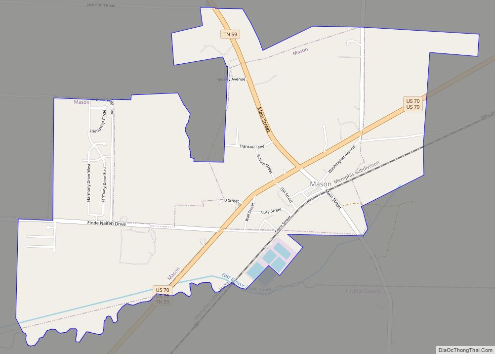
Mason is a town in Tipton County, Tennessee. The population was 1,609 at the 2010 census. Mason is located along U.S. Route 70, and is home to a federal detention facility.
| Name: | Mason town |
|---|---|
| LSAD Code: | 43 |
| LSAD Description: | town (suffix) |
| State: | Tennessee |
| County: | Tipton County |
| Elevation: | 315 ft (96 m) |
| Total Area: | 1.98 sq mi (5.13 km²) |
| Land Area: | 1.98 sq mi (5.13 km²) |
| Water Area: | 0.00 sq mi (0.00 km²) |
| Total Population: | 1,337 |
| Population Density: | 674.91/sq mi (260.56/km²) |
| ZIP code: | 38049 |
| Area code: | 901 |
| FIPS code: | 4746420 |
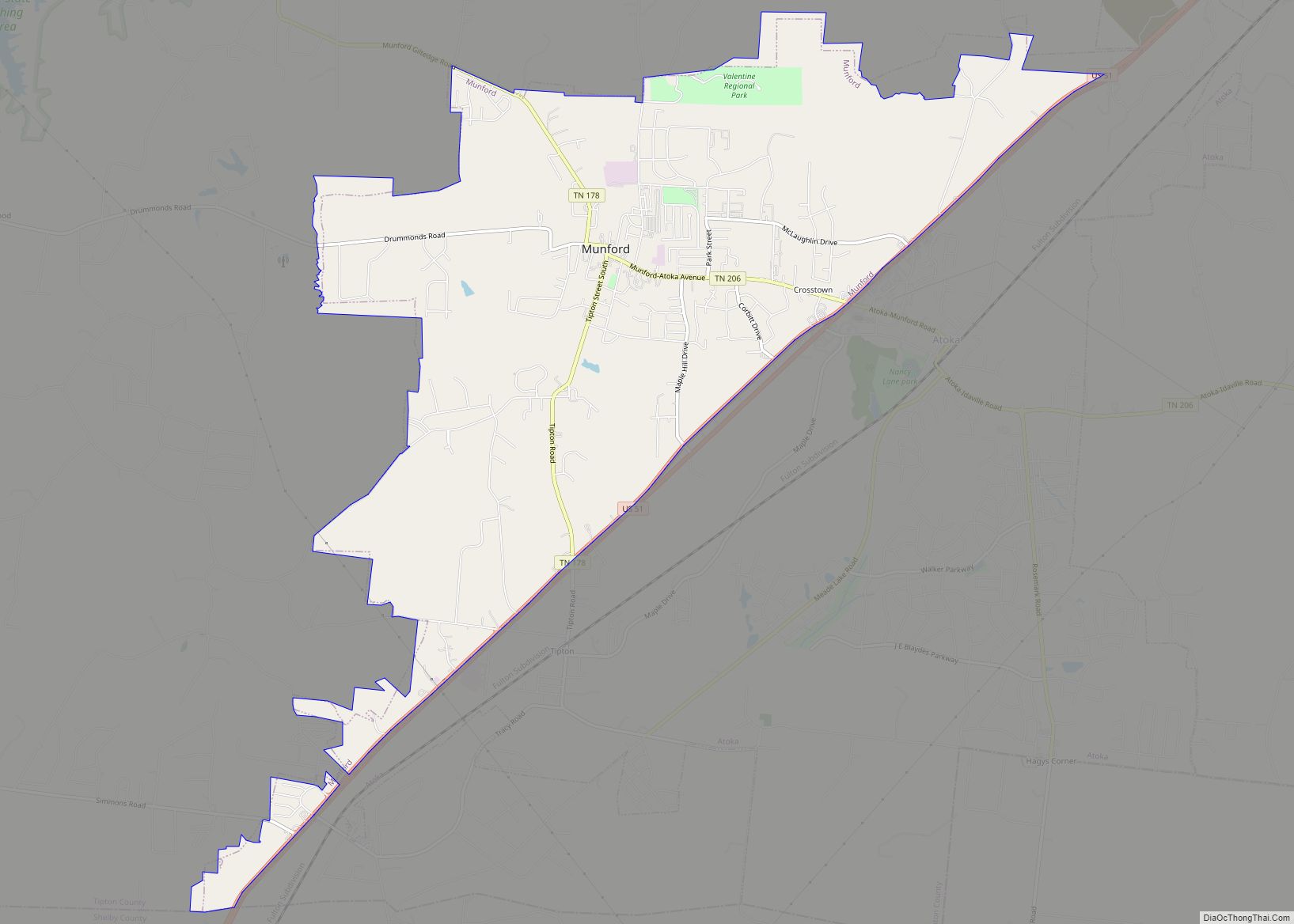
Online Interactive Map
Click on ![]() to view map in "full screen" mode.
to view map in "full screen" mode.
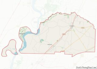
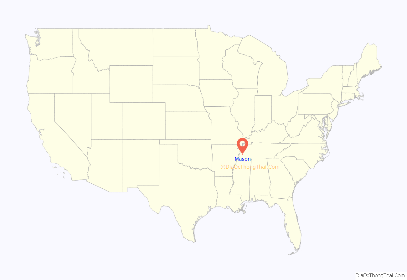
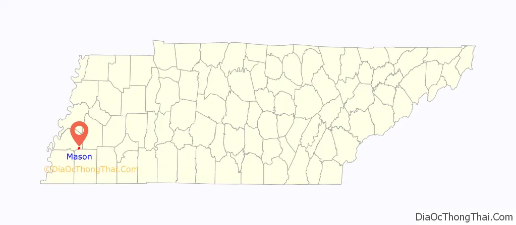
Mason location map. Where is Mason town?
History
The first rail service in Tipton County was established in December 1855, when the Memphis and Ohio Railroad completed the route from Memphis to Nashville, running through what is now the town of Mason.
Trinity Church in Mason, built in 1870, was designed by English architect James B. Cook and is listed on the National Register of Historic Places.
In 2022 the State Government of Tennessee fought to gain financial control over the town government. In May of that year the town and the state government had a deal so that the financial control remained with the town government.
Mason Road Map

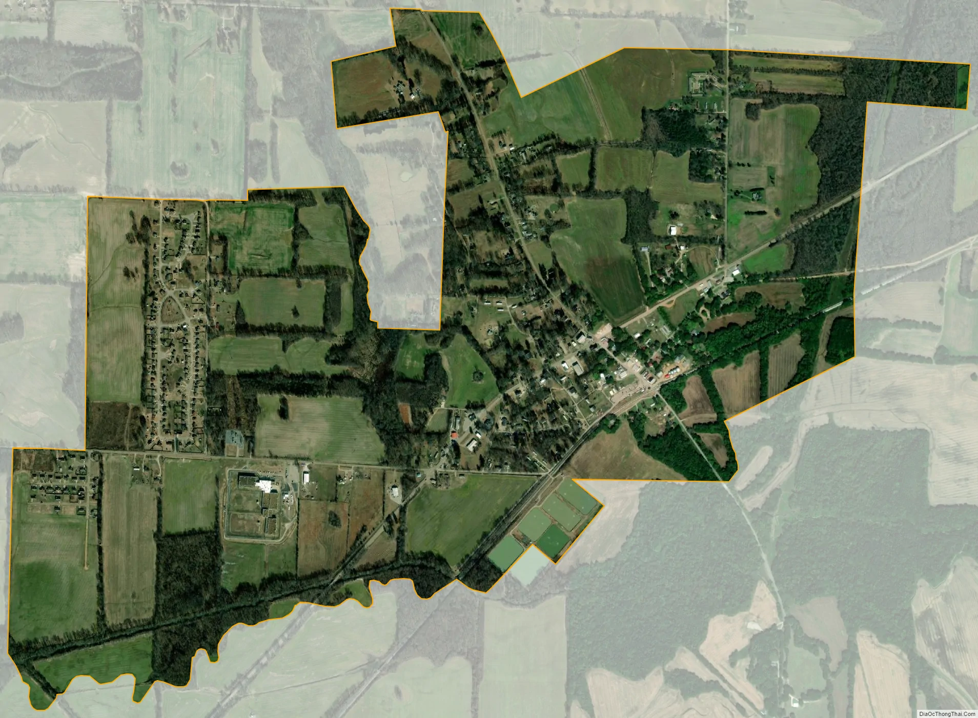
Mason city Satellite Map
Geography
Mason is located at 35°24′37″N 89°32′29″W / 35.41028°N 89.54139°W / 35.41028; -89.54139 (35.410262, -89.541366).
According to the United States Census Bureau, the town has a total area of 1.3 square miles (3.4 km), all land.
See also
Map of Tennessee State and its subdivision:- Anderson
- Bedford
- Benton
- Bledsoe
- Blount
- Bradley
- Campbell
- Cannon
- Carroll
- Carter
- Cheatham
- Chester
- Claiborne
- Clay
- Cocke
- Coffee
- Crockett
- Cumberland
- Davidson
- Decatur
- DeKalb
- Dickson
- Dyer
- Fayette
- Fentress
- Franklin
- Gibson
- Giles
- Grainger
- Greene
- Grundy
- Hamblen
- Hamilton
- Hancock
- Hardeman
- Hardin
- Hawkins
- Haywood
- Henderson
- Henry
- Hickman
- Houston
- Humphreys
- Jackson
- Jefferson
- Johnson
- Knox
- Lake
- Lauderdale
- Lawrence
- Lewis
- Lincoln
- Loudon
- Macon
- Madison
- Marion
- Marshall
- Maury
- McMinn
- McNairy
- Meigs
- Monroe
- Montgomery
- Moore
- Morgan
- Obion
- Overton
- Perry
- Pickett
- Polk
- Putnam
- Rhea
- Roane
- Robertson
- Rutherford
- Scott
- Sequatchie
- Sevier
- Shelby
- Smith
- Stewart
- Sullivan
- Sumner
- Tipton
- Trousdale
- Unicoi
- Union
- Van Buren
- Warren
- Washington
- Wayne
- Weakley
- White
- Williamson
- Wilson
- Alabama
- Alaska
- Arizona
- Arkansas
- California
- Colorado
- Connecticut
- Delaware
- District of Columbia
- Florida
- Georgia
- Hawaii
- Idaho
- Illinois
- Indiana
- Iowa
- Kansas
- Kentucky
- Louisiana
- Maine
- Maryland
- Massachusetts
- Michigan
- Minnesota
- Mississippi
- Missouri
- Montana
- Nebraska
- Nevada
- New Hampshire
- New Jersey
- New Mexico
- New York
- North Carolina
- North Dakota
- Ohio
- Oklahoma
- Oregon
- Pennsylvania
- Rhode Island
- South Carolina
- South Dakota
- Tennessee
- Texas
- Utah
- Vermont
- Virginia
- Washington
- West Virginia
- Wisconsin
- Wyoming