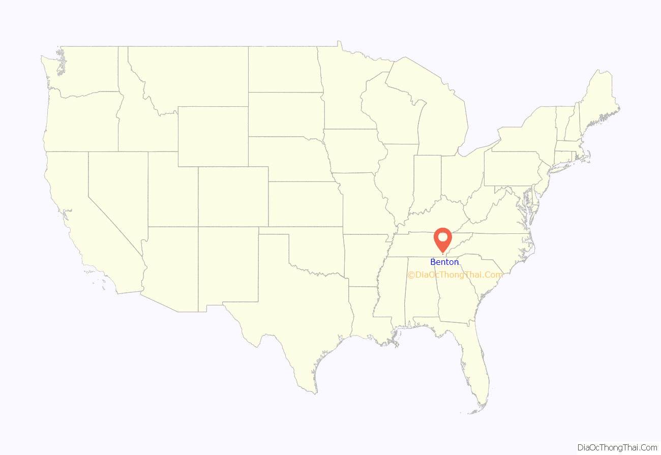
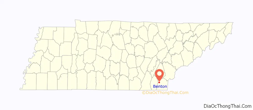
Benton is a town in Polk County, Tennessee, United States. The population was 1,532 at the 2020 census. It is the county seat of Polk County.
Benton is included in the Cleveland Metropolitan Statistical Area. Nancy Ward, a Cherokee known as Nanyehi, was a Beloved Woman, a leader among her people. For many years, she participated in negotiations with the British and Americans. After the American Revolution, she had an inn here and was finally buried here. The Nancy Ward Chapter of the DAR, named in her honor, has marked the graves of her and her son Fivekiller.
| Name: | Benton town |
|---|---|
| LSAD Code: | 43 |
| LSAD Description: | town (suffix) |
| State: | Tennessee |
| County: | Polk County |
| Founded: | 1840 |
| Incorporated: | 1915 |
| Elevation: | 741 ft (226 m) |
| Total Area: | 3.03 sq mi (7.85 km²) |
| Land Area: | 3.03 sq mi (7.85 km²) |
| Water Area: | 0.00 sq mi (0.00 km²) |
| Total Population: | 1,523 |
| Population Density: | 502.14/sq mi (193.90/km²) |
| ZIP code: | 37307 |
| Area code: | 423 |
| FIPS code: | 4705040 |
| GNISfeature ID: | 1327567 |
Online Interactive Map
Click on ![]() to view map in "full screen" mode.
to view map in "full screen" mode.
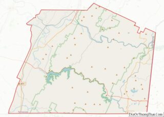
Benton location map. Where is Benton town?
History
Benton was founded in 1840 as a county seat for Polk County, which had been established the previous year. The town, originally a trading post known as McKamy’s stock stand, was named in honor of politician and US Senator from Missouri, Thomas Hart Benton.
On May 27, 1983 the Benton fireworks disaster occurred on a farm southeast of the city. An explosion at a secret fireworks operation killed eleven, injured one, and caused damage within a radius of several miles, revealing the illegal business. This was by far the largest and most successful known illegal fireworks operation. The blast was heard more than 20 mi (32 km) away.
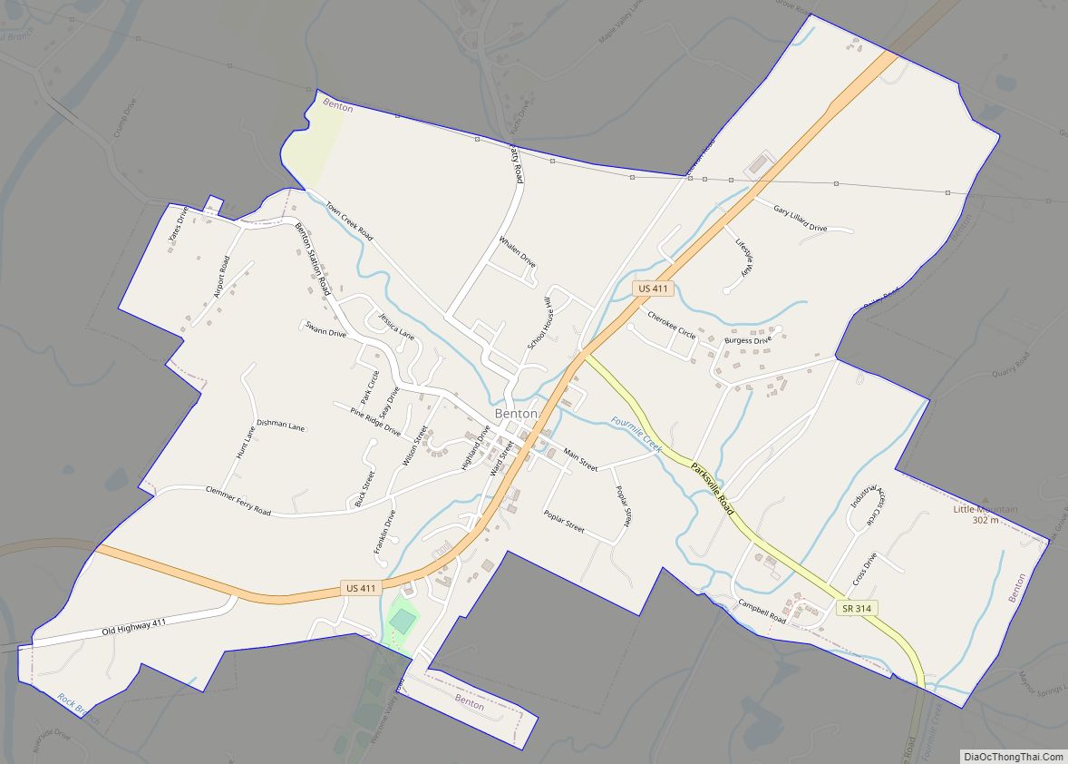
Benton Road Map

Benton city Satellite Map

Geography
Benton is located at 35°10′27″N 84°39′13″W / 35.17417°N 84.65361°W / 35.17417; -84.65361 (35.1742411, -84.6535468). The town is situated just southeast of the confluence of the Ocoee River and the Hiwassee River, roughly 34 miles (55 km) upstream from the latter’s mouth along the Chickamauga Lake impoundment of the Tennessee River. The Unicoi Mountains rise prominently to the east of Benton.
Benton is centered on the junction of U.S. Route 411, which connects the town to Etowah to the north and Tennga, Georgia to the south, and Tennessee State Route 314, which connects Benton to Parksville, Cherokee National Forest, and the Ocoee Dam area to the southeast. Benton is located approximately 20 miles (32 km) east of Interstate 75.
According to the United States Census Bureau, the town has a total area of 2.3 square miles (6.0 km), all land.
One of the scenic areas around Benton is Lake McCamy, where a hiking trail leads to the Benton Falls.
See also
Map of Tennessee State and its subdivision:- Anderson
- Bedford
- Benton
- Bledsoe
- Blount
- Bradley
- Campbell
- Cannon
- Carroll
- Carter
- Cheatham
- Chester
- Claiborne
- Clay
- Cocke
- Coffee
- Crockett
- Cumberland
- Davidson
- Decatur
- DeKalb
- Dickson
- Dyer
- Fayette
- Fentress
- Franklin
- Gibson
- Giles
- Grainger
- Greene
- Grundy
- Hamblen
- Hamilton
- Hancock
- Hardeman
- Hardin
- Hawkins
- Haywood
- Henderson
- Henry
- Hickman
- Houston
- Humphreys
- Jackson
- Jefferson
- Johnson
- Knox
- Lake
- Lauderdale
- Lawrence
- Lewis
- Lincoln
- Loudon
- Macon
- Madison
- Marion
- Marshall
- Maury
- McMinn
- McNairy
- Meigs
- Monroe
- Montgomery
- Moore
- Morgan
- Obion
- Overton
- Perry
- Pickett
- Polk
- Putnam
- Rhea
- Roane
- Robertson
- Rutherford
- Scott
- Sequatchie
- Sevier
- Shelby
- Smith
- Stewart
- Sullivan
- Sumner
- Tipton
- Trousdale
- Unicoi
- Union
- Van Buren
- Warren
- Washington
- Wayne
- Weakley
- White
- Williamson
- Wilson
- Alabama
- Alaska
- Arizona
- Arkansas
- California
- Colorado
- Connecticut
- Delaware
- District of Columbia
- Florida
- Georgia
- Hawaii
- Idaho
- Illinois
- Indiana
- Iowa
- Kansas
- Kentucky
- Louisiana
- Maine
- Maryland
- Massachusetts
- Michigan
- Minnesota
- Mississippi
- Missouri
- Montana
- Nebraska
- Nevada
- New Hampshire
- New Jersey
- New Mexico
- New York
- North Carolina
- North Dakota
- Ohio
- Oklahoma
- Oregon
- Pennsylvania
- Rhode Island
- South Carolina
- South Dakota
- Tennessee
- Texas
- Utah
- Vermont
- Virginia
- Washington
- West Virginia
- Wisconsin
- Wyoming