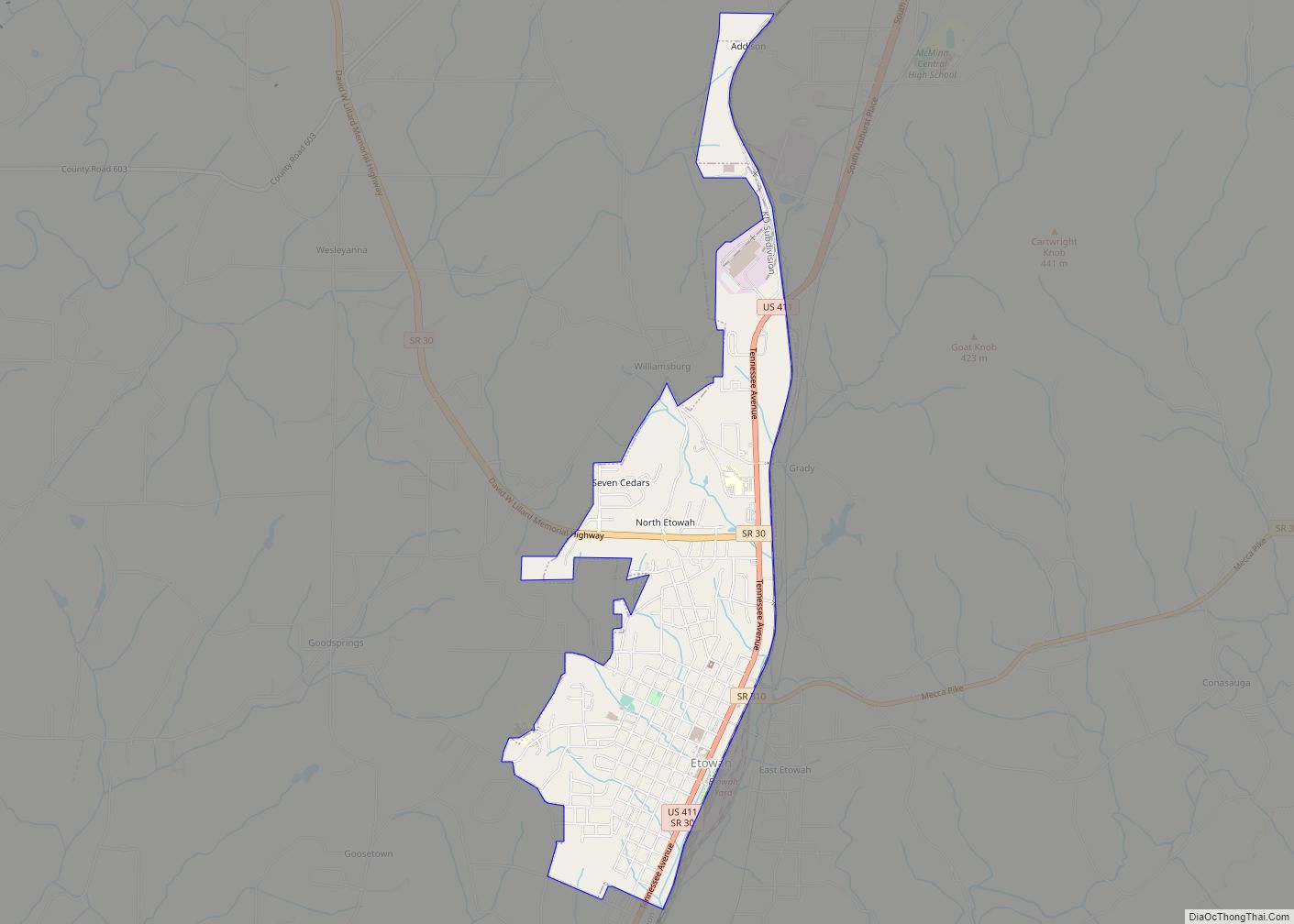
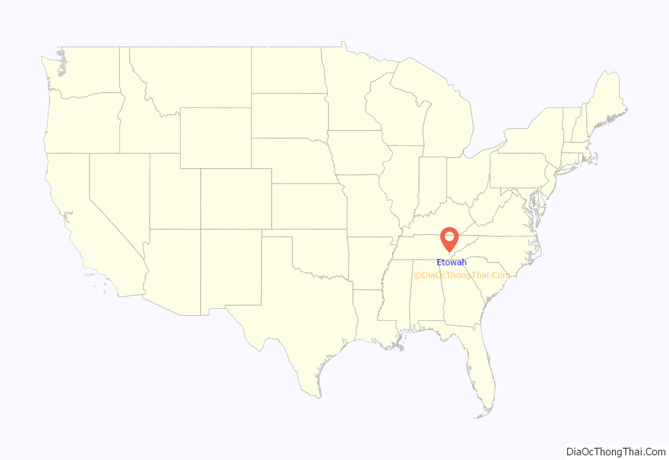
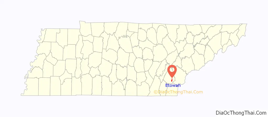
Etowah is a city in McMinn County in the U.S. state of Tennessee. The population was 3,613 at the 2020 census.
| Name: | Etowah city |
|---|---|
| LSAD Code: | 25 |
| LSAD Description: | city (suffix) |
| State: | Tennessee |
| County: | McMinn County |
| Founded: | 1906 |
| Incorporated: | 1909 |
| Elevation: | 807 ft (246 m) |
| Total Area: | 2.83 sq mi (7.32 km²) |
| Land Area: | 2.83 sq mi (7.32 km²) |
| Water Area: | 0.00 sq mi (0.00 km²) |
| Total Population: | 3,603 |
| Population Density: | 1,274.95/sq mi (492.27/km²) |
| ZIP code: | 37331 |
| Area code: | 423 |
| FIPS code: | 4724480 |
| GNISfeature ID: | 1328151 |
| Website: | cityofetowahtn.com |
Online Interactive Map
Click on ![]() to view map in "full screen" mode.
to view map in "full screen" mode.
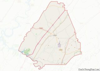
Etowah location map. Where is Etowah city?
History
Etowah was founded in 1906, primarily as a location for a depot on the Louisville & Nashville Railroad (L&N) line as part of a more direct route between Atlanta and Cincinnati. The etymology of the town name is unclear, but local folklore states that a train crew brought a sign reading “Etowah” from the Etowah River, and the name stuck. The word Etowah comes from the Muskogee/Creek word italwa meaning “town.”
In 1902, the Louisville and Nashville Railroad announced its plan to build a more direct line from Atlanta to Cincinnati in order to avoid the rugged mountains of North Georgia and East Tennessee bypassing the Great Hiwassee Loop. A point midway between these cities was needed to service cars and change crews, and at the end of 1904, land had been purchased in McMinn County to serve as this site and the city of Etowah was planned. The L & N purchased 1,454 acres (5.88 km) for the main terminus (depot), maintenance and repair facilities (shops), railroad yards and proposed township to support the railroad workforce. This land was purchased at $10 to $20 per acre and the L&N set about building a major rail center and the town of Etowah.
Out of what was referred to then as a wet swampland, a boomtown sprung up in 1906 with the L & N Depot serving as the hub of the new town’s business and social activities. Since then, the City of Etowah has ridden the waves of economic downturns and successes, such as the closing of the L & N shops in the 1930s and the recruitment of new industries, to evolve into the city that it is today. Etowah has seen positive growth in industry and retail over the past decade.
In 1974, Etowah residents Doug, Carol and Michael Tullock started the Bargain Barn grocery store, which has since grown into a chain that includes 35 stores in 5 states.
On April 3, 1974, an F3 tornado struck southern Etowah, destroying 23 homes and killing 3 people. The tornado was one of many in the 1974 Super Outbreak.
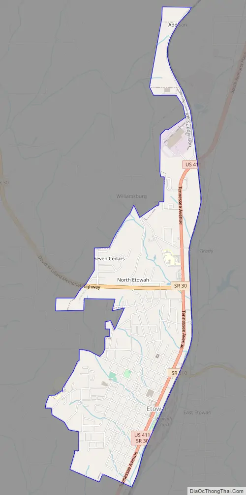
Etowah Road Map
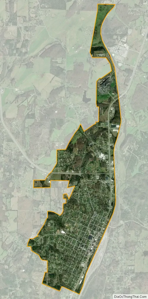
Etowah city Satellite Map
Geography
Etowah is located at 35°19′46″N 84°31′42″W / 35.32944°N 84.52833°W / 35.32944; -84.52833 (35.329579, −84.528196).
According to the United States Census Bureau, the city has a total area of 2.8 square miles (7.2 km), all of it land.
See also
Map of Tennessee State and its subdivision:- Anderson
- Bedford
- Benton
- Bledsoe
- Blount
- Bradley
- Campbell
- Cannon
- Carroll
- Carter
- Cheatham
- Chester
- Claiborne
- Clay
- Cocke
- Coffee
- Crockett
- Cumberland
- Davidson
- Decatur
- DeKalb
- Dickson
- Dyer
- Fayette
- Fentress
- Franklin
- Gibson
- Giles
- Grainger
- Greene
- Grundy
- Hamblen
- Hamilton
- Hancock
- Hardeman
- Hardin
- Hawkins
- Haywood
- Henderson
- Henry
- Hickman
- Houston
- Humphreys
- Jackson
- Jefferson
- Johnson
- Knox
- Lake
- Lauderdale
- Lawrence
- Lewis
- Lincoln
- Loudon
- Macon
- Madison
- Marion
- Marshall
- Maury
- McMinn
- McNairy
- Meigs
- Monroe
- Montgomery
- Moore
- Morgan
- Obion
- Overton
- Perry
- Pickett
- Polk
- Putnam
- Rhea
- Roane
- Robertson
- Rutherford
- Scott
- Sequatchie
- Sevier
- Shelby
- Smith
- Stewart
- Sullivan
- Sumner
- Tipton
- Trousdale
- Unicoi
- Union
- Van Buren
- Warren
- Washington
- Wayne
- Weakley
- White
- Williamson
- Wilson
- Alabama
- Alaska
- Arizona
- Arkansas
- California
- Colorado
- Connecticut
- Delaware
- District of Columbia
- Florida
- Georgia
- Hawaii
- Idaho
- Illinois
- Indiana
- Iowa
- Kansas
- Kentucky
- Louisiana
- Maine
- Maryland
- Massachusetts
- Michigan
- Minnesota
- Mississippi
- Missouri
- Montana
- Nebraska
- Nevada
- New Hampshire
- New Jersey
- New Mexico
- New York
- North Carolina
- North Dakota
- Ohio
- Oklahoma
- Oregon
- Pennsylvania
- Rhode Island
- South Carolina
- South Dakota
- Tennessee
- Texas
- Utah
- Vermont
- Virginia
- Washington
- West Virginia
- Wisconsin
- Wyoming