Brighton is a town in Tipton County, Tennessee, United States. The population was 2,735 at the 2010 census.
| Name: | Brighton town |
|---|---|
| LSAD Code: | 43 |
| LSAD Description: | town (suffix) |
| State: | Tennessee |
| County: | Tipton County |
| Elevation: | 341 ft (104 m) |
| Total Area: | 3.04 sq mi (7.86 km²) |
| Land Area: | 3.04 sq mi (7.86 km²) |
| Water Area: | 0.00 sq mi (0.00 km²) |
| Total Population: | 2,888 |
| Population Density: | 951.25/sq mi (367.26/km²) |
| ZIP code: | 38011 |
| Area code: | 901 |
| FIPS code: | 4708500 |
| GNISfeature ID: | 1278391 |
| Website: | www.townofbrighton.com |
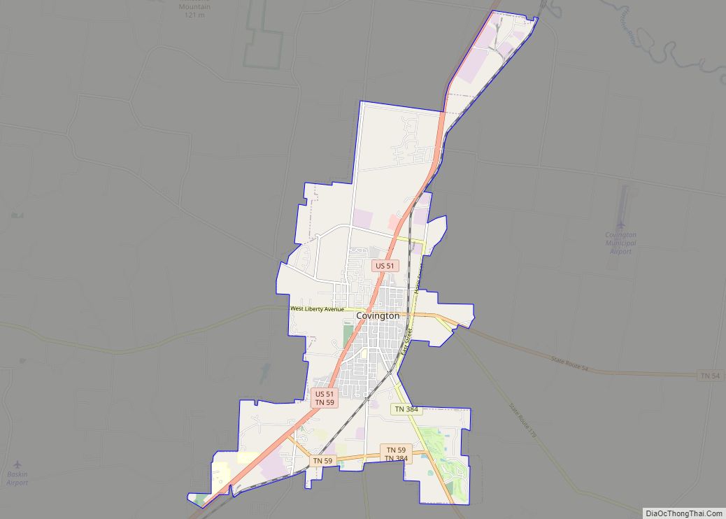
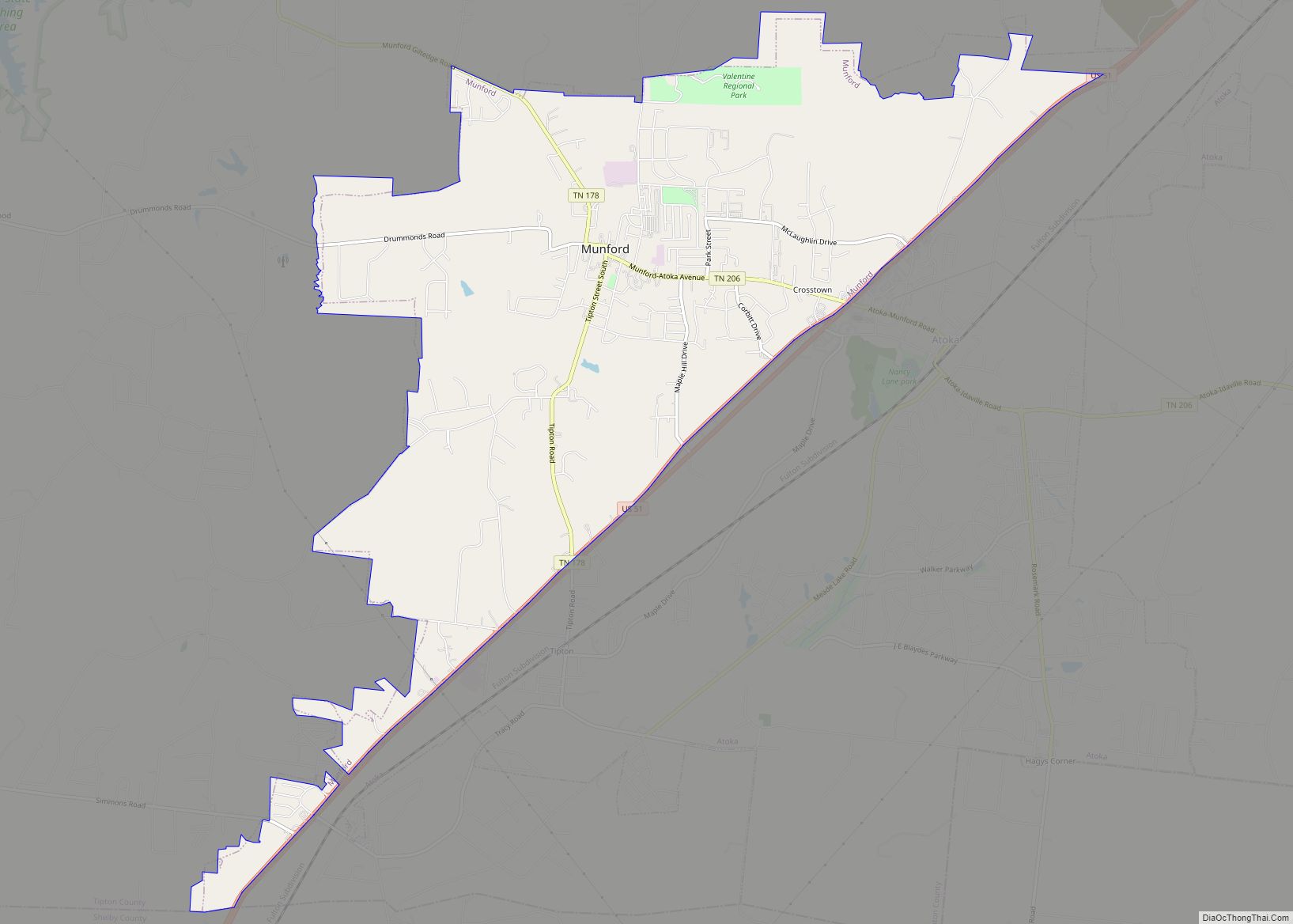
Online Interactive Map
Click on ![]() to view map in "full screen" mode.
to view map in "full screen" mode.
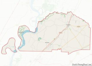
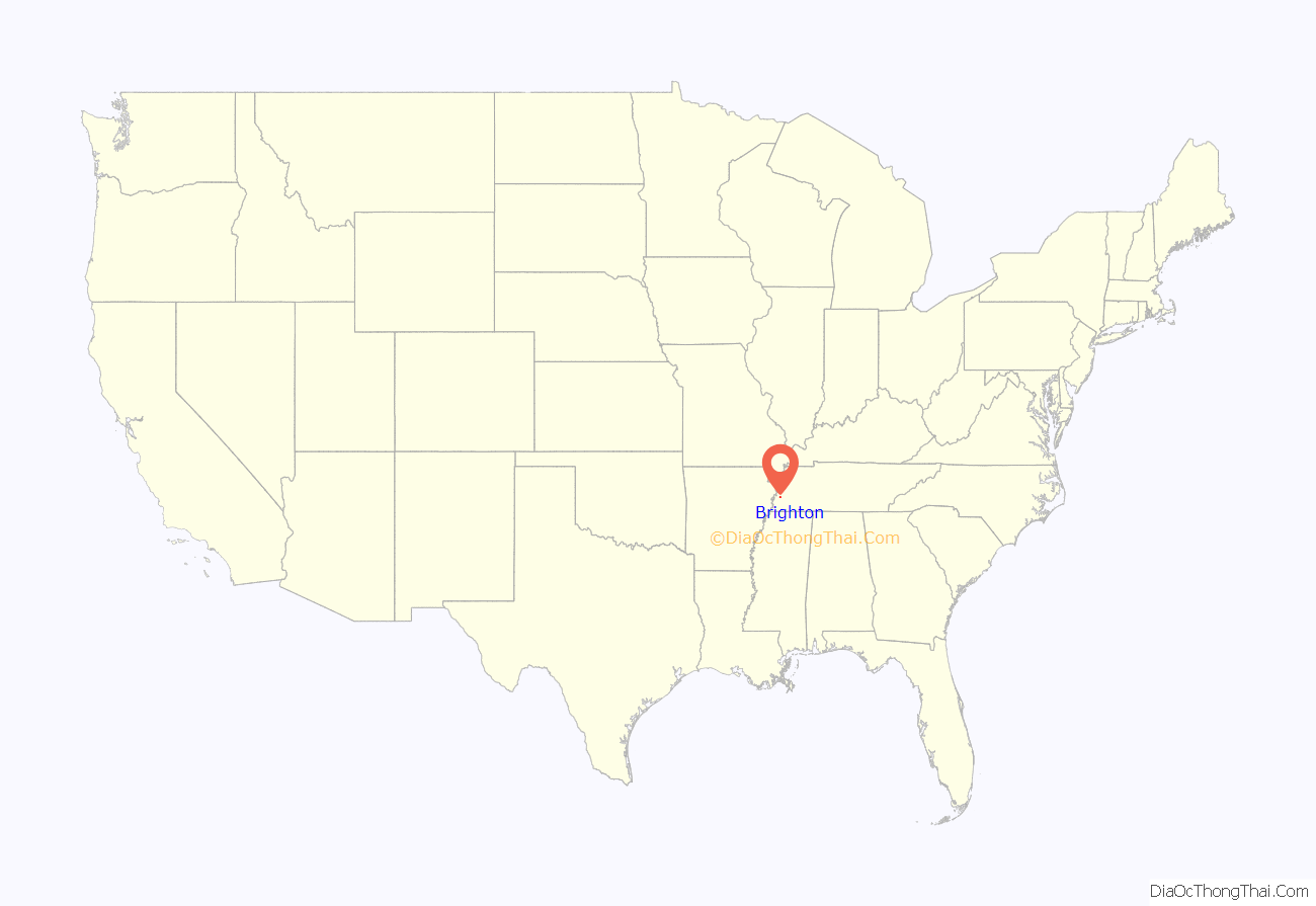
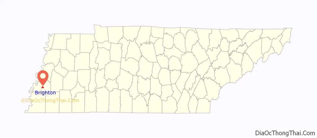
Brighton location map. Where is Brighton town?
History
Brighton was established in the year 1873, along the newly completed tracts of the Memphis and Paducah Railroad upon the lands of A. W. Smith, Sr. who gave the initial five acres for the Depot grounds. The new town was named for Mr. Bright, the first conductor on the Memphis Division of the said road.
The new town grew quickly. By the late 1870s, Brighton had two dry goods stores, three grocery stores, two saloons, two blacksmith shops, two wagon shops, one brick yard, one steam saw and grist mill, one steam cotton gin, a Baptist church, two physicians, and a population of approximately 100.
In 1883, the veterans of the 7th Tennessee Cavalry, Confederate States of America made Brighton the permanent site of their annual reunion. At Brighton, the veterans reunion took on new dimensions and it grew into a reunion of all Confederate veterans of Tipton County and the surrounding region. Over the years, attendance of this annual August event grew, peaking at 15,000 in 1897. The Tipton County Confederate Veterans Reunion, as it came to be known, continued to be held at Brighton until 1940.
Brighton was incorporated by the Tennessee General Assembly in 1913 and the town today continues to operate under the same charter.
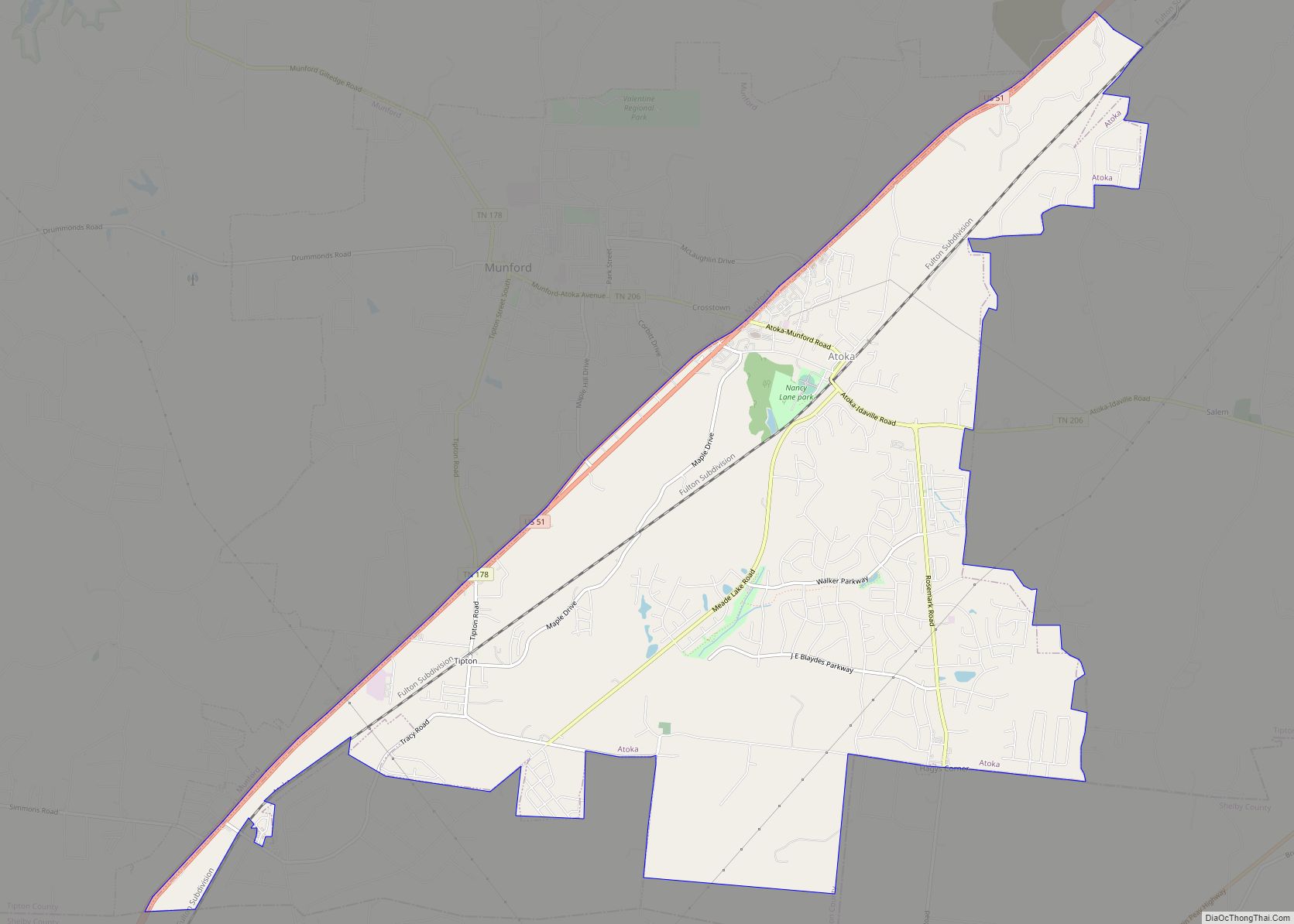
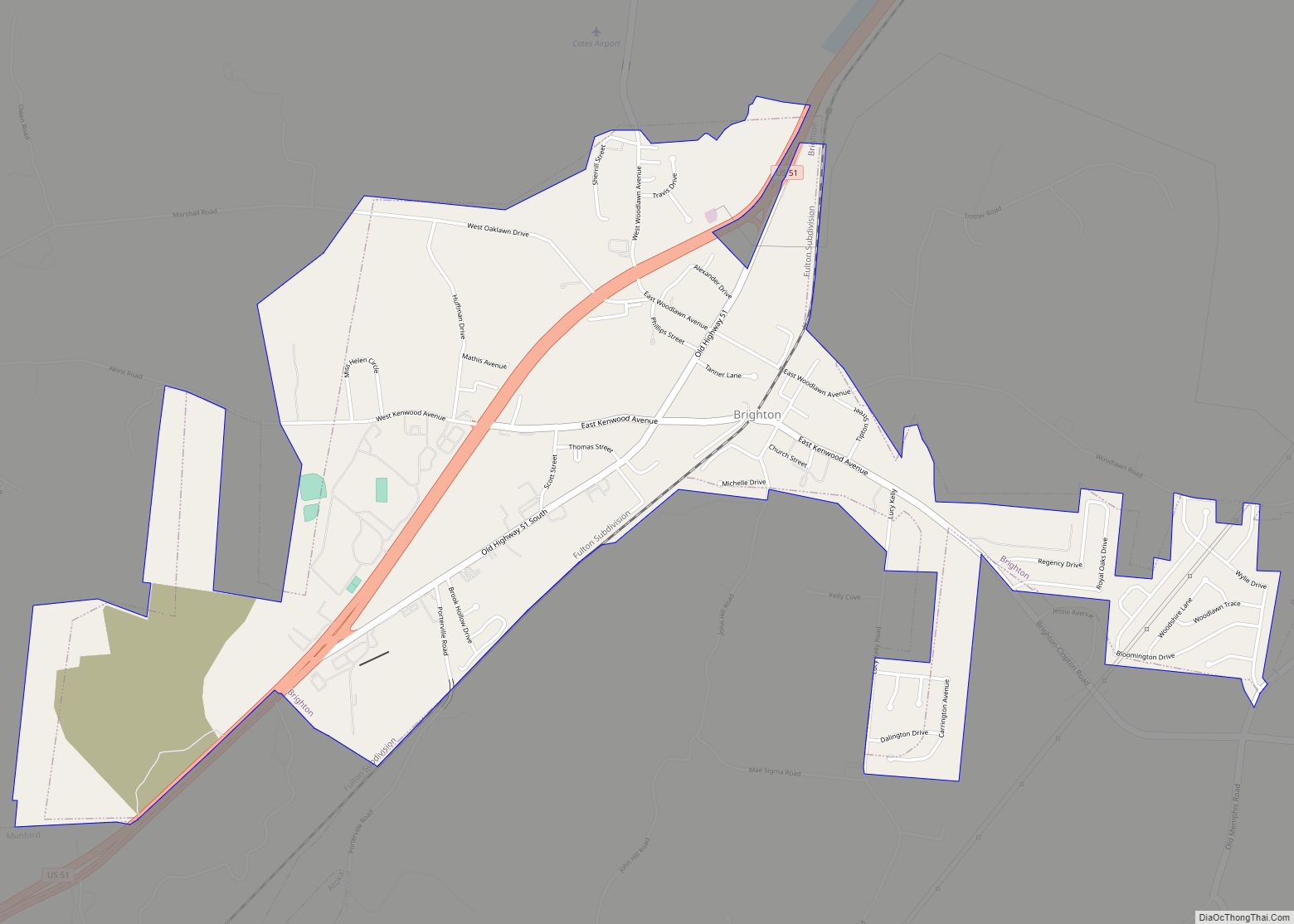
Brighton Road Map
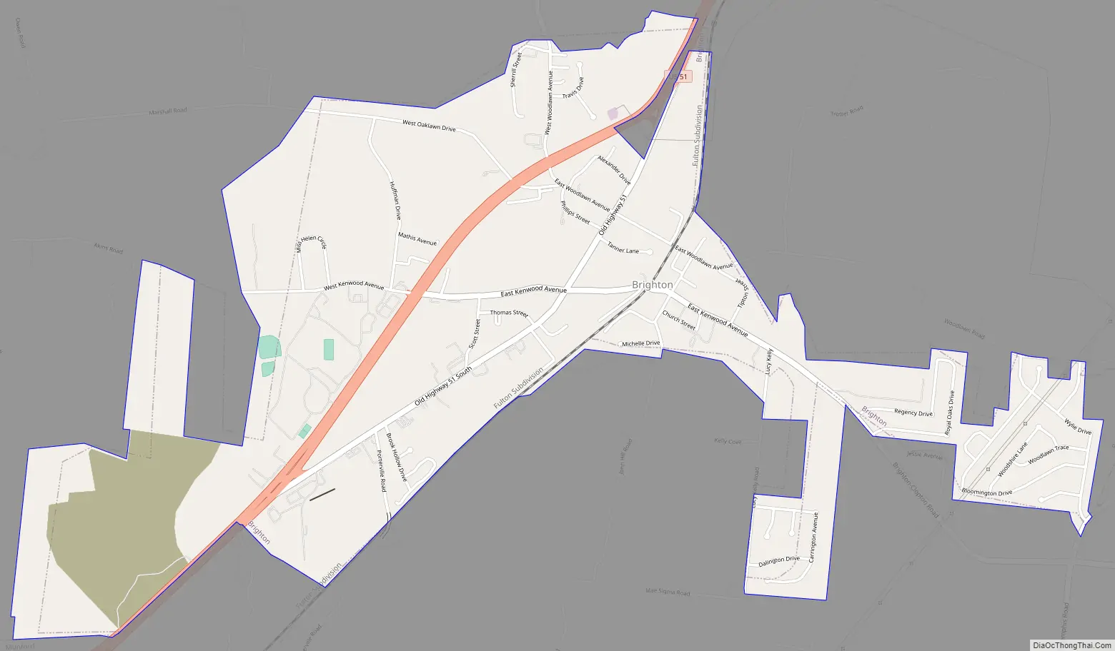
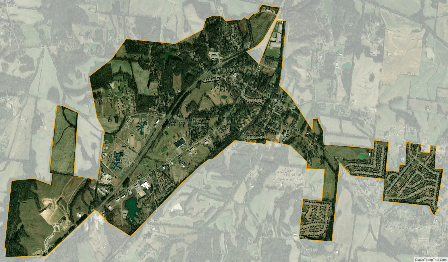
Brighton city Satellite Map
Geography
Brighton is located at 35°28′58″N 89°43′25″W / 35.48278°N 89.72361°W / 35.48278; -89.72361 (35.482847, -89.723563).
According to the United States Census Bureau, the town has a total area of 2.7 square miles (7.0 km), all land.
See also
Map of Tennessee State and its subdivision:- Anderson
- Bedford
- Benton
- Bledsoe
- Blount
- Bradley
- Campbell
- Cannon
- Carroll
- Carter
- Cheatham
- Chester
- Claiborne
- Clay
- Cocke
- Coffee
- Crockett
- Cumberland
- Davidson
- Decatur
- DeKalb
- Dickson
- Dyer
- Fayette
- Fentress
- Franklin
- Gibson
- Giles
- Grainger
- Greene
- Grundy
- Hamblen
- Hamilton
- Hancock
- Hardeman
- Hardin
- Hawkins
- Haywood
- Henderson
- Henry
- Hickman
- Houston
- Humphreys
- Jackson
- Jefferson
- Johnson
- Knox
- Lake
- Lauderdale
- Lawrence
- Lewis
- Lincoln
- Loudon
- Macon
- Madison
- Marion
- Marshall
- Maury
- McMinn
- McNairy
- Meigs
- Monroe
- Montgomery
- Moore
- Morgan
- Obion
- Overton
- Perry
- Pickett
- Polk
- Putnam
- Rhea
- Roane
- Robertson
- Rutherford
- Scott
- Sequatchie
- Sevier
- Shelby
- Smith
- Stewart
- Sullivan
- Sumner
- Tipton
- Trousdale
- Unicoi
- Union
- Van Buren
- Warren
- Washington
- Wayne
- Weakley
- White
- Williamson
- Wilson
- Alabama
- Alaska
- Arizona
- Arkansas
- California
- Colorado
- Connecticut
- Delaware
- District of Columbia
- Florida
- Georgia
- Hawaii
- Idaho
- Illinois
- Indiana
- Iowa
- Kansas
- Kentucky
- Louisiana
- Maine
- Maryland
- Massachusetts
- Michigan
- Minnesota
- Mississippi
- Missouri
- Montana
- Nebraska
- Nevada
- New Hampshire
- New Jersey
- New Mexico
- New York
- North Carolina
- North Dakota
- Ohio
- Oklahoma
- Oregon
- Pennsylvania
- Rhode Island
- South Carolina
- South Dakota
- Tennessee
- Texas
- Utah
- Vermont
- Virginia
- Washington
- West Virginia
- Wisconsin
- Wyoming