Gainesboro is a town in Jackson County, Tennessee, United States. The population was 920 at the 2020 census. It is the county seat of Jackson County.
Gainesboro is part of the Cookeville, Tennessee Micropolitan Statistical Area.
| Name: | Gainesboro town |
|---|---|
| LSAD Code: | 43 |
| LSAD Description: | town (suffix) |
| State: | Tennessee |
| County: | Jackson County |
| Incorporated: | 1905 |
| Elevation: | 574 ft (175 m) |
| Total Area: | 1.78 sq mi (4.61 km²) |
| Land Area: | 1.56 sq mi (4.03 km²) |
| Water Area: | 0.22 sq mi (0.58 km²) |
| Total Population: | 920 |
| Population Density: | 590.88/sq mi (228.20/km²) |
| ZIP code: | 38562 |
| Area code: | 931 |
| FIPS code: | 4728420 |
| GNISfeature ID: | 1285070 |
Online Interactive Map
Click on ![]() to view map in "full screen" mode.
to view map in "full screen" mode.
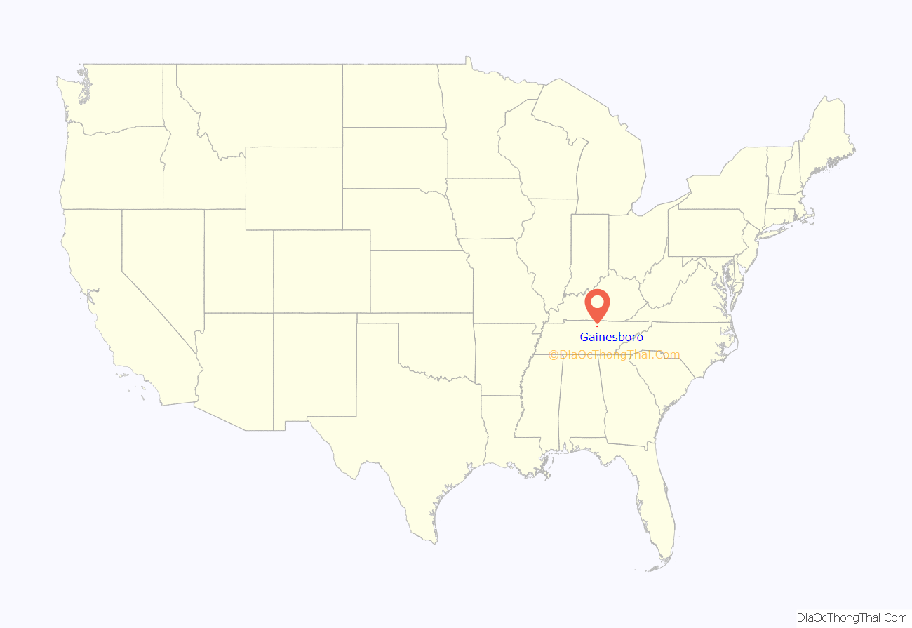
Gainesboro location map. Where is Gainesboro town?
History
The Gainesboro vicinity was a popular destination for long hunters as early as the 1770s, as natural salt licks drew rich game to the area. In the 1790s, Avery’s Trace passed nearby, with travellers along the road lodging at Fort Blount about 10 miles to the west. Gainesboro was named after General Edmund Pendleton Gaines (1777–1849). It has been the seat of Jackson County since 1820. The 1970 John Frankenheimer Movie I Walk the Line starring Gregory Peck and featuring Johnny Cash’s song I Walk the Line was also filmed in Gainesboro.
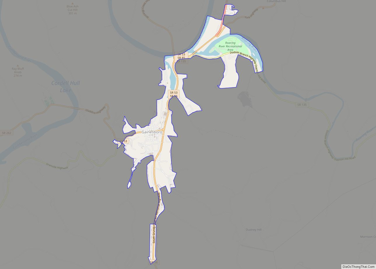
Gainesboro Road Map
Gainesboro city Satellite Map
Geography
According to the United States Census Bureau, Gainesboro is located approximately 15 miles northwest of Cookeville and has a total area of 1.8 square miles (4.7 km), of which 1.6 square miles (4.1 km) are land and 0.3-square-mile (0.78 km) (14.29%) is water.
Climate
See also
Map of Tennessee State and its subdivision:- Anderson
- Bedford
- Benton
- Bledsoe
- Blount
- Bradley
- Campbell
- Cannon
- Carroll
- Carter
- Cheatham
- Chester
- Claiborne
- Clay
- Cocke
- Coffee
- Crockett
- Cumberland
- Davidson
- Decatur
- DeKalb
- Dickson
- Dyer
- Fayette
- Fentress
- Franklin
- Gibson
- Giles
- Grainger
- Greene
- Grundy
- Hamblen
- Hamilton
- Hancock
- Hardeman
- Hardin
- Hawkins
- Haywood
- Henderson
- Henry
- Hickman
- Houston
- Humphreys
- Jackson
- Jefferson
- Johnson
- Knox
- Lake
- Lauderdale
- Lawrence
- Lewis
- Lincoln
- Loudon
- Macon
- Madison
- Marion
- Marshall
- Maury
- McMinn
- McNairy
- Meigs
- Monroe
- Montgomery
- Moore
- Morgan
- Obion
- Overton
- Perry
- Pickett
- Polk
- Putnam
- Rhea
- Roane
- Robertson
- Rutherford
- Scott
- Sequatchie
- Sevier
- Shelby
- Smith
- Stewart
- Sullivan
- Sumner
- Tipton
- Trousdale
- Unicoi
- Union
- Van Buren
- Warren
- Washington
- Wayne
- Weakley
- White
- Williamson
- Wilson
- Alabama
- Alaska
- Arizona
- Arkansas
- California
- Colorado
- Connecticut
- Delaware
- District of Columbia
- Florida
- Georgia
- Hawaii
- Idaho
- Illinois
- Indiana
- Iowa
- Kansas
- Kentucky
- Louisiana
- Maine
- Maryland
- Massachusetts
- Michigan
- Minnesota
- Mississippi
- Missouri
- Montana
- Nebraska
- Nevada
- New Hampshire
- New Jersey
- New Mexico
- New York
- North Carolina
- North Dakota
- Ohio
- Oklahoma
- Oregon
- Pennsylvania
- Rhode Island
- South Carolina
- South Dakota
- Tennessee
- Texas
- Utah
- Vermont
- Virginia
- Washington
- West Virginia
- Wisconsin
- Wyoming


