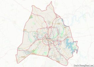
Goodlettsville is a city in Davidson and Sumner counties, Tennessee. Goodlettsville was incorporated as a city in 1958 with a population of just over 3,000 residents; at the 2010 census, the city had a total population of 15,921 and in 2020 the population was 17,789.
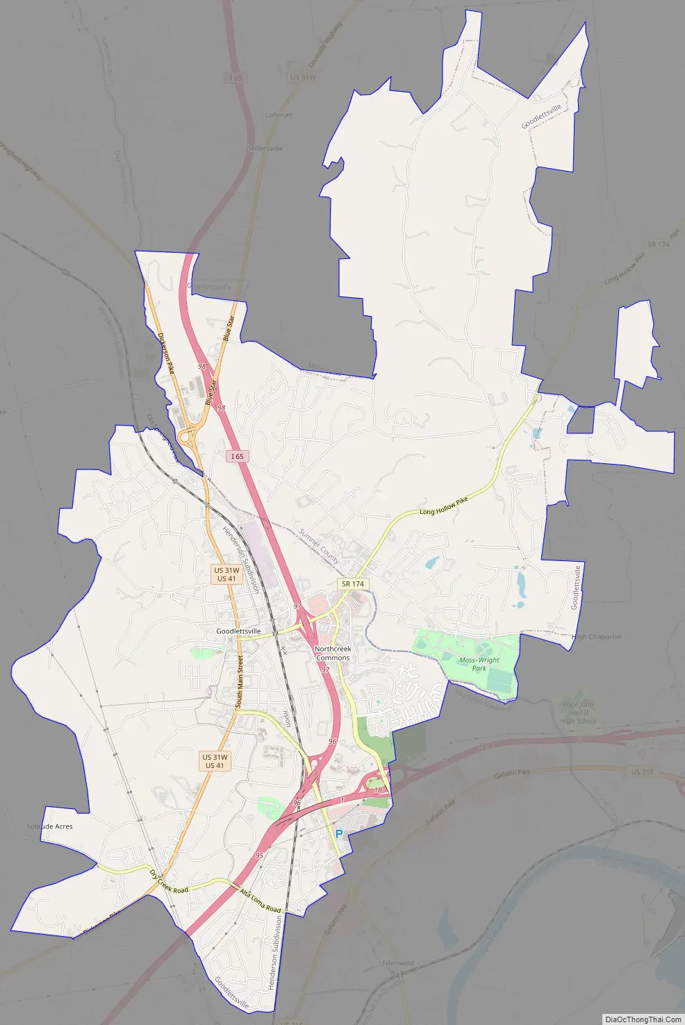
The northern half of the city is in Sumner County, while the southern half is in Davidson County. In 1963, when the city of Nashville merged with the government of Davidson County, Goodlettsville chose to remain autonomous.
| Name: | Goodlettsville city |
|---|---|
| LSAD Code: | 25 |
| LSAD Description: | city (suffix) |
| State: | Tennessee |
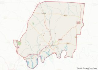
| County: | Davidson County, Sumner County |
| Elevation: | 479 ft (146 m) |
| Total Area: | 14.57 sq mi (37.72 km²) |
| Land Area: | 14.41 sq mi (37.32 km²) |
| Water Area: | 0.16 sq mi (0.41 km²) |
| Total Population: | 17,789 |
| Population Density: | 1,234.58/sq mi (476.68/km²) |
| Area code: | Area code 615 |
| FIPS code: | 4729920 |
| GNISfeature ID: | 1285638 |
| Website: | www.goodlettsville.gov |
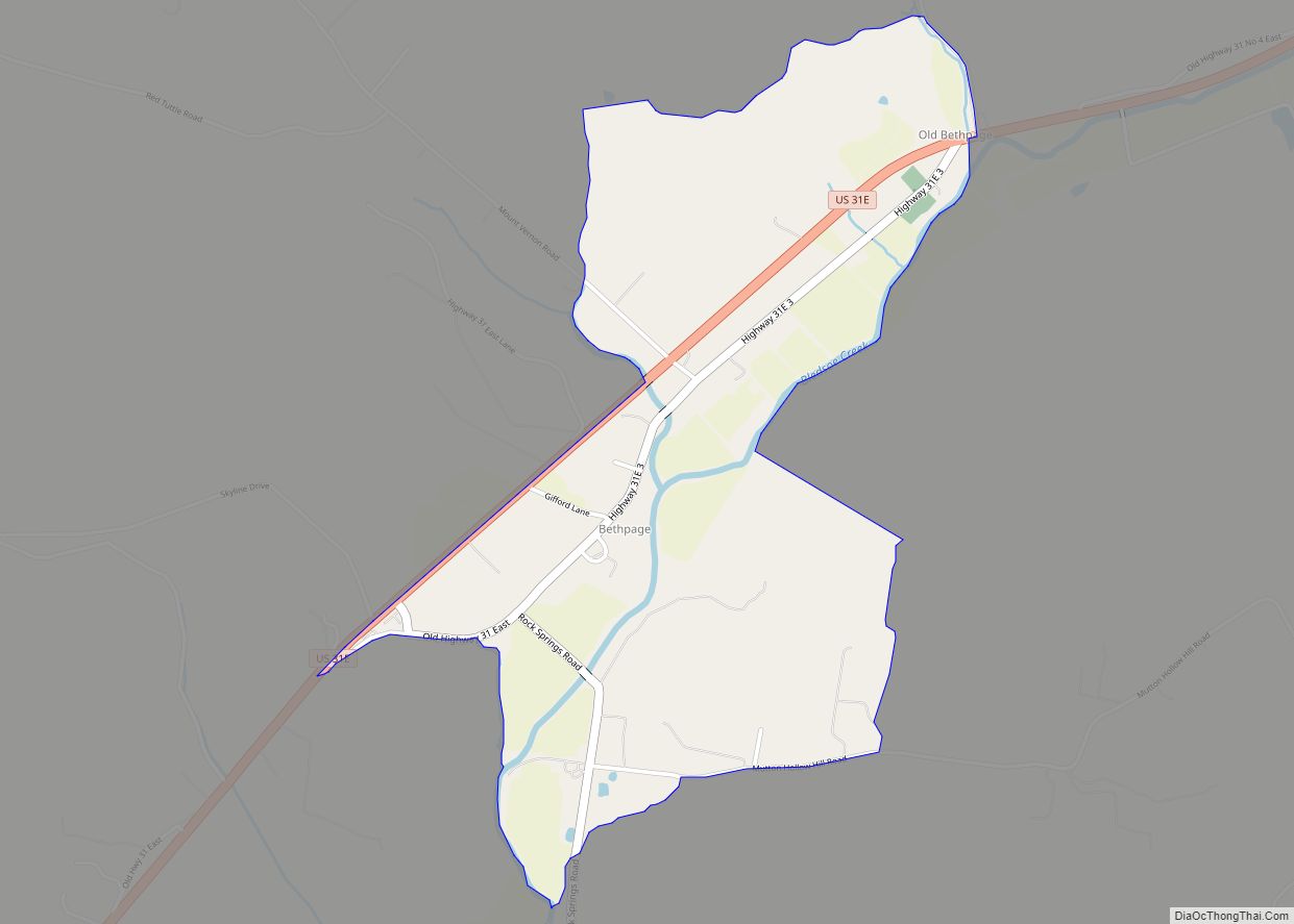
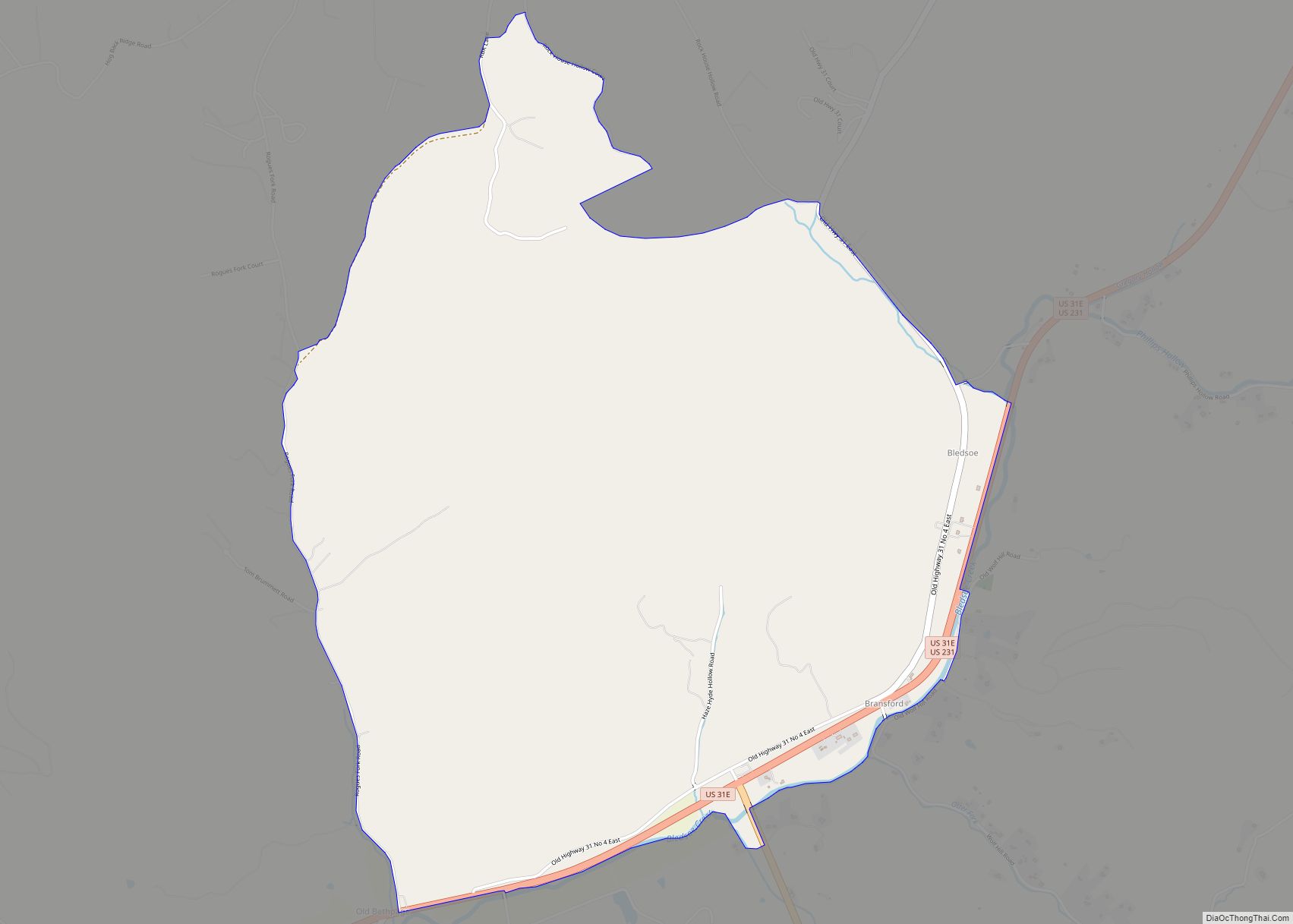
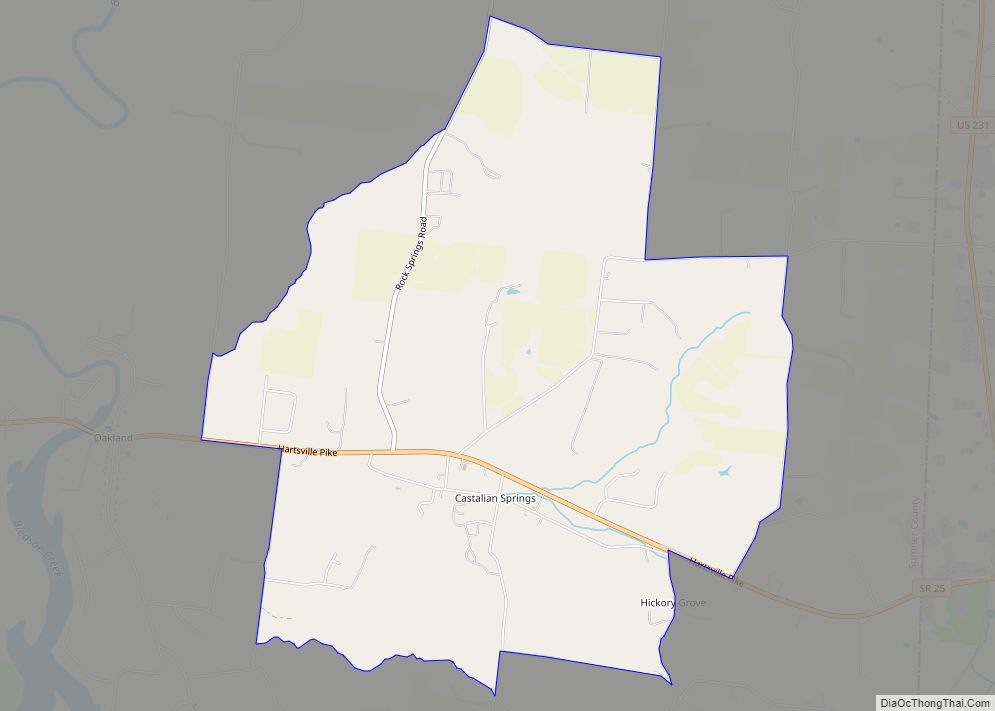
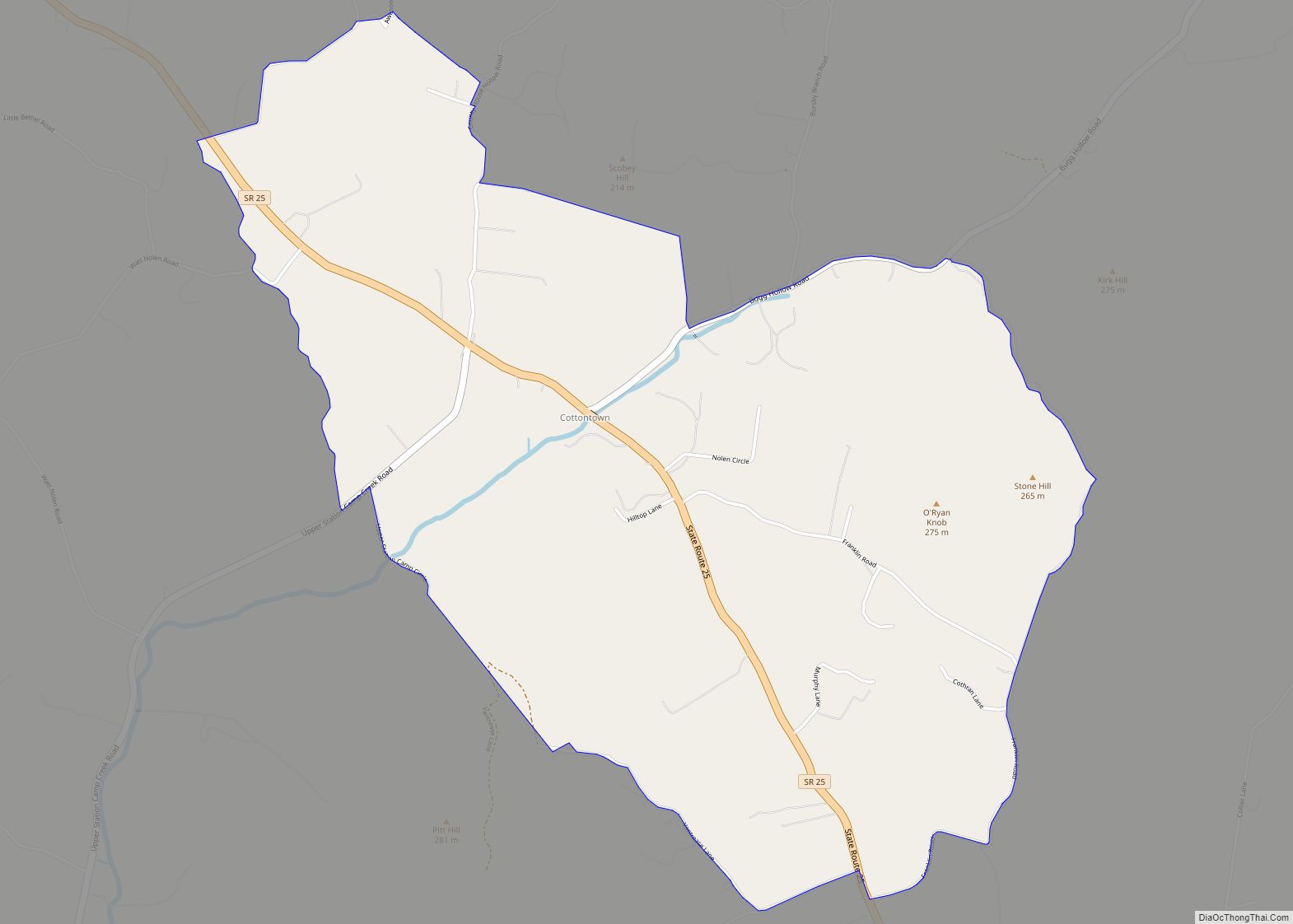
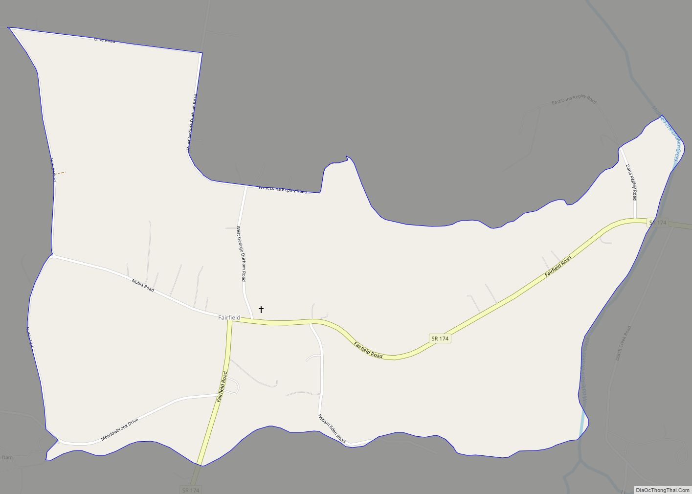
Online Interactive Map
Click on ![]() to view map in "full screen" mode.
to view map in "full screen" mode.
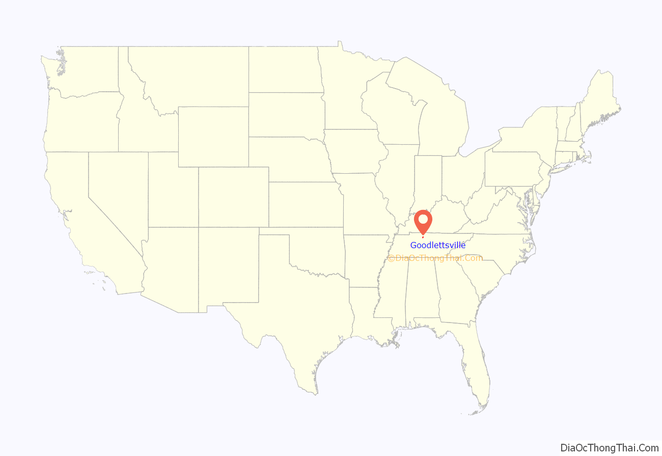
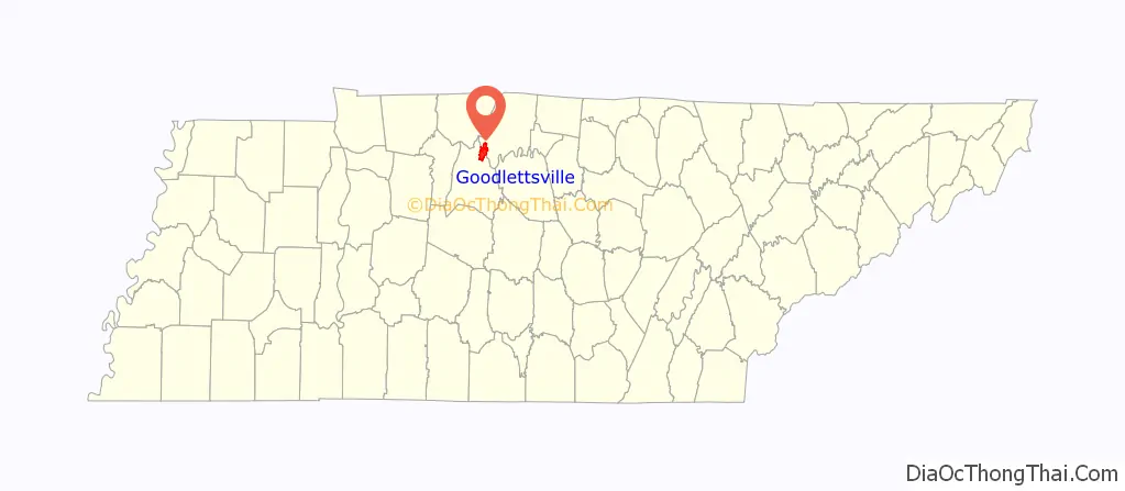
Goodlettsville location map. Where is Goodlettsville city?
History
Long hunter and early Middle Tennessee settler Kasper Mansker was reportedly born on an immigrant ship bound for the American colonies. Little is known about his German ancestry or his early life. Mansker began to explore the wilds of Kentucky and Tennessee with a group of long hunters in 1769. A journey taken in 1772 introduced Mansker to the rich resources of Middle Tennessee, especially what is now Sumner County and Davidson County. Near a salt lick and a large creek now known as Mansker’s Creek in the present-day city of Goodlettsville, Mansker established his own fortified station, Mansker’s Station, in the winter of 1779–1780, a winter remembered for its severe temperatures.
Goodlettsville was named for A. G. Goodlett, pastor of the Cumberland Presbyterian Church from 1848 to 1853.
After emancipation of slaves following the American Civil War, the Ku Klux Klan was organized by Confederate veterans to maintain white supremacy over the freedmen. Following the Reconstruction era, violence of whites against blacks continued, often nominally tied to alleged assaults against white women. In April 1892, two daughters of the white Bruce family of Goodlettsville claimed to have been assaulted. African-American brothers Ephraim and Henry Grizzard were arrested as suspects. Henry was lynched and hanged in the town on April 24, 1892. His brother Ephraim had been jailed in Nashville for the same incident. On April 30, 1892, Ephraim Grizzard was taken from jail and lynched by a mob of 10,000 in the courthouse square. His body was taken to Goodlettsville, where it was burned.
21st century
Among the industries established in Goodlettsville is a Tyson Foods plant. As the COVID-19 pandemic spread in the state and city in the spring of 2020, the Metro Health department investigated a reported cluster of COVID-19 cases in April among employees working at the plant. They worked in close quarters and had difficulty avoiding contracting the disease, especially at a time when so little was known about its transmission. On April 22, 2020, 120 of the approximately 1,600 employees were confirmed to have been infected with COVID-19. The Centers for Disease Control (CDC) and United States Department of Agriculture (USDA) participated in this investigation. Food processing plants proved to be high-risk environments for frontline employees as the pandemic progressed, although the company instituted social distancing and other measures. By May 22, 2020, some 345 Tyson employees had contracted COVID-19 at this plant. Another nearby plant had been closed to allow deep cleaning.
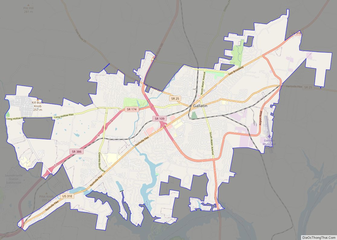
Goodlettsville Road Map
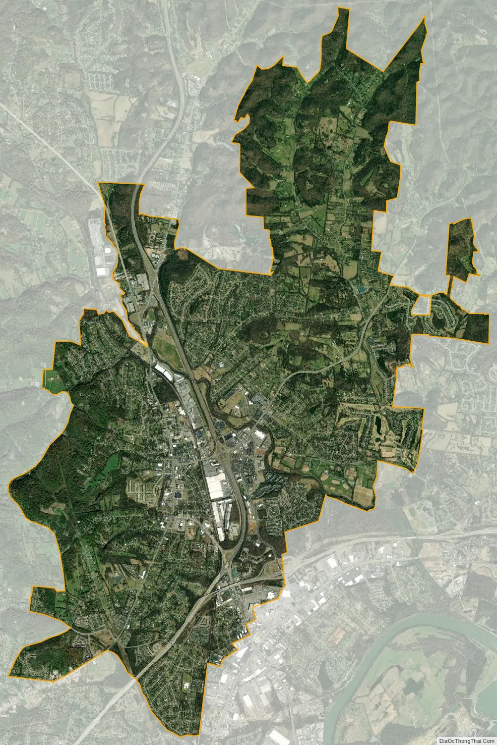
Goodlettsville city Satellite Map
Geography
According to the United States Census Bureau, the city has a total area of 14.3 square miles (37.1 km), of which 14.1 square miles (36.6 km) are land and 0.15 square miles (0.4 km) is water.
See also
Map of Tennessee State and its subdivision:- Anderson
- Bedford
- Benton
- Bledsoe
- Blount
- Bradley
- Campbell
- Cannon
- Carroll
- Carter
- Cheatham
- Chester
- Claiborne
- Clay
- Cocke
- Coffee
- Crockett
- Cumberland
- Davidson
- Decatur
- DeKalb
- Dickson
- Dyer
- Fayette
- Fentress
- Franklin
- Gibson
- Giles
- Grainger
- Greene
- Grundy
- Hamblen
- Hamilton
- Hancock
- Hardeman
- Hardin
- Hawkins
- Haywood
- Henderson
- Henry
- Hickman
- Houston
- Humphreys
- Jackson
- Jefferson
- Johnson
- Knox
- Lake
- Lauderdale
- Lawrence
- Lewis
- Lincoln
- Loudon
- Macon
- Madison
- Marion
- Marshall
- Maury
- McMinn
- McNairy
- Meigs
- Monroe
- Montgomery
- Moore
- Morgan
- Obion
- Overton
- Perry
- Pickett
- Polk
- Putnam
- Rhea
- Roane
- Robertson
- Rutherford
- Scott
- Sequatchie
- Sevier
- Shelby
- Smith
- Stewart
- Sullivan
- Sumner
- Tipton
- Trousdale
- Unicoi
- Union
- Van Buren
- Warren
- Washington
- Wayne
- Weakley
- White
- Williamson
- Wilson
- Alabama
- Alaska
- Arizona
- Arkansas
- California
- Colorado
- Connecticut
- Delaware
- District of Columbia
- Florida
- Georgia
- Hawaii
- Idaho
- Illinois
- Indiana
- Iowa
- Kansas
- Kentucky
- Louisiana
- Maine
- Maryland
- Massachusetts
- Michigan
- Minnesota
- Mississippi
- Missouri
- Montana
- Nebraska
- Nevada
- New Hampshire
- New Jersey
- New Mexico
- New York
- North Carolina
- North Dakota
- Ohio
- Oklahoma
- Oregon
- Pennsylvania
- Rhode Island
- South Carolina
- South Dakota
- Tennessee
- Texas
- Utah
- Vermont
- Virginia
- Washington
- West Virginia
- Wisconsin
- Wyoming