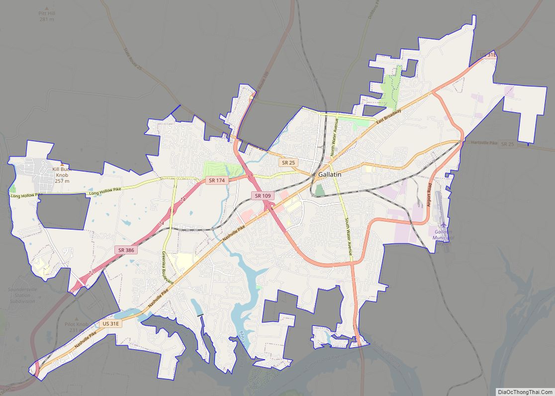
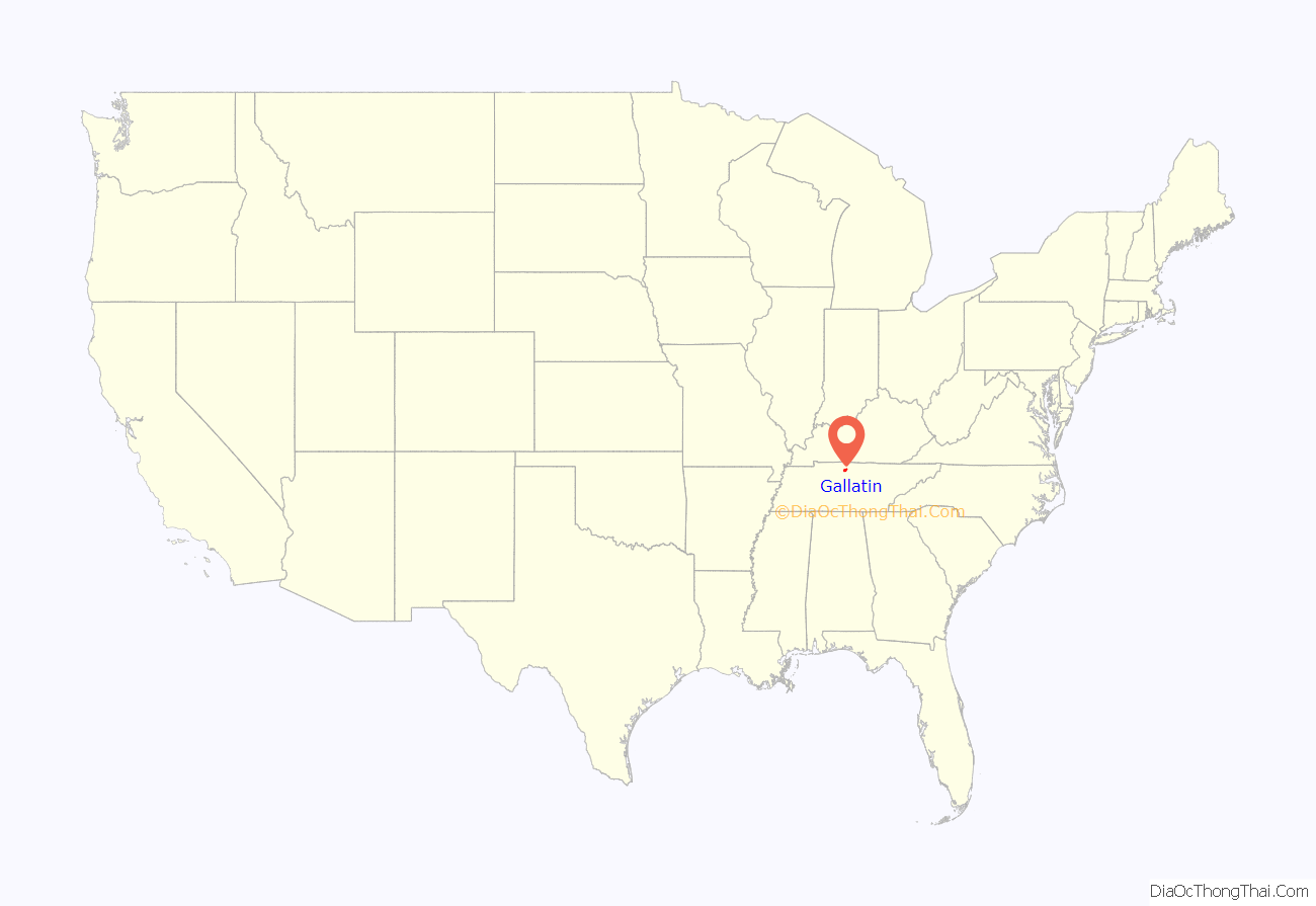
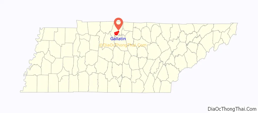
Gallatin is a city in and the county seat of Sumner County, Tennessee. The population was 30,278 at the 2010 census and 44,431 at the 2020 census. Named for United States Secretary of the Treasury Albert Gallatin, the city was established on the Cumberland River and made the county seat of Sumner County in 1802. It is located about 30.6 miles northeast of the state capital of Nashville, Tennessee.
Several national companies have facilities or headquarters in Gallatin, including Facebook, Gap, Inc., Beretta and Servpro Industries, Inc. Gallatin was formerly the headquarters of Dot Records. The city is also the site of Volunteer State Community College, a two-year college with more than 70 degree programs. In 2017, Gallatin was ranked as “The Nicest Place In America” by Reader’s Digest.
| Name: | Gallatin city |
|---|---|
| LSAD Code: | 25 |
| LSAD Description: | city (suffix) |
| State: | Tennessee |
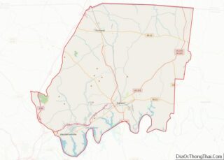
| County: | Sumner County |
| Elevation: | 538 ft (164 m) |
| Total Area: | 34.81 sq mi (90.16 km²) |
| Land Area: | 34.27 sq mi (88.76 km²) |
| Water Area: | 0.54 sq mi (1.40 km²) |
| Total Population: | 44,431 |
| Population Density: | 1,296.50/sq mi (500.59/km²) |
| ZIP code: | 37066 |
| Area code: | 615 |
| FIPS code: | 4728540 |
| GNISfeature ID: | 1285100 |
| Website: | gallatin-tn.gov |
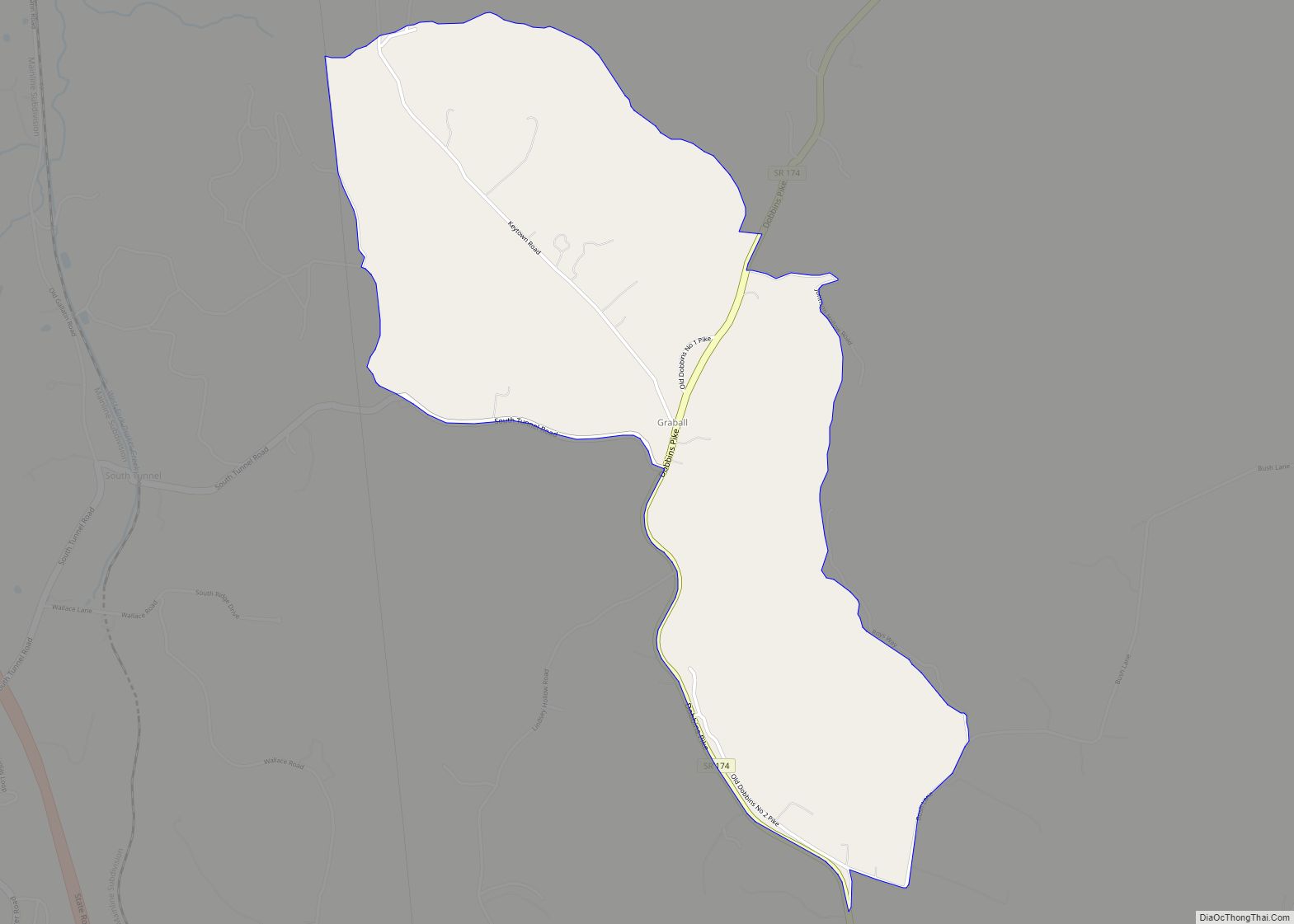
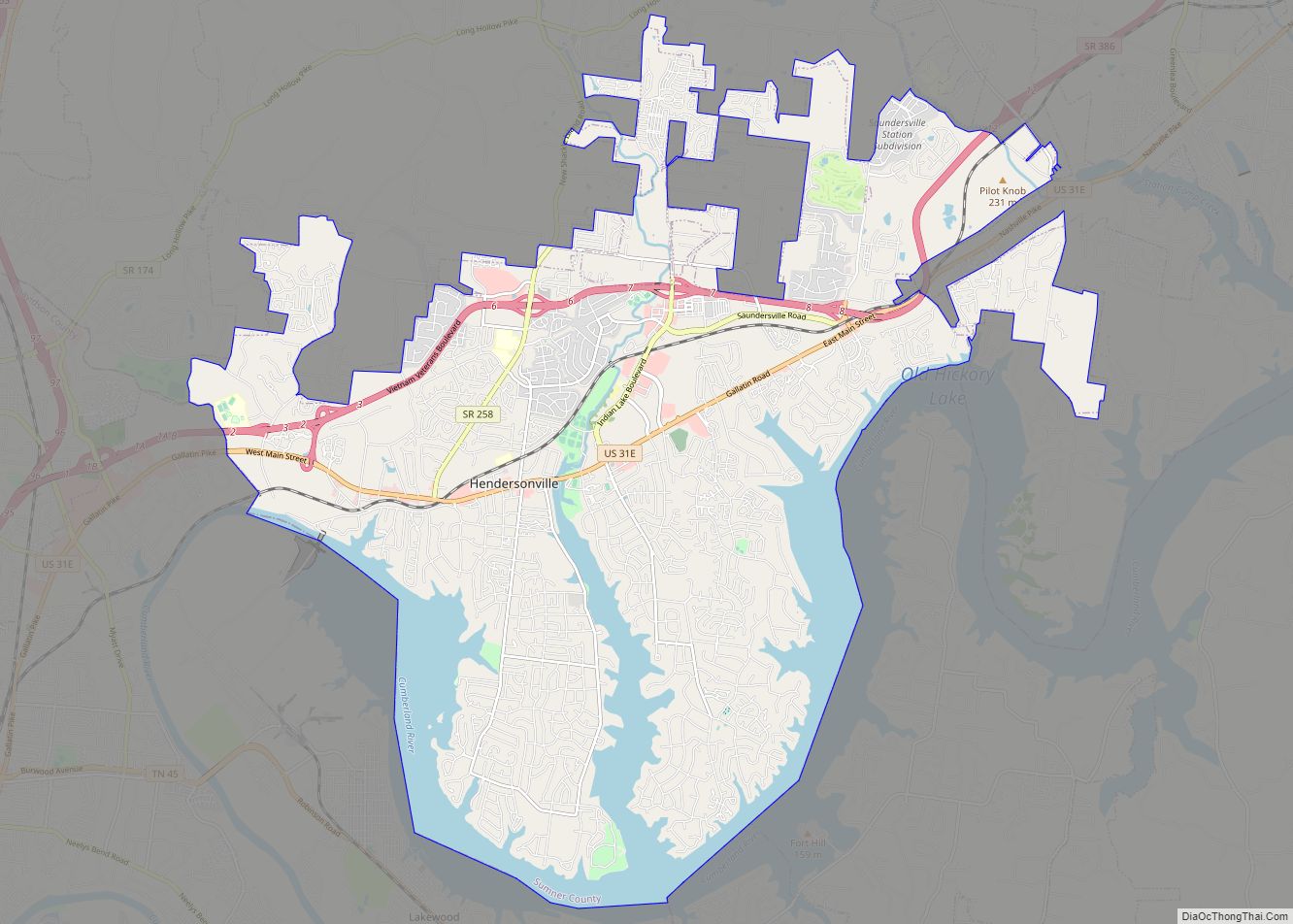
Online Interactive Map
Click on ![]() to view map in "full screen" mode.
to view map in "full screen" mode.
Gallatin location map. Where is Gallatin city?
History
Gallatin was established in 1802 as the permanent county seat of Sumner County, in what is called the Middle Tennessee region of the state. The town was named after Albert Gallatin, Secretary of Treasury to Presidents Thomas Jefferson and James Madison. Andrew Jackson became one of the first to purchase a lot when the town was surveyed and platted in 1803. The town was built around a traditional plan of an open square. Jackson founded the first general store in Gallatin.
In 1803, the first county courthouse and jail were built on the central town square. In 1815, the town was incorporated. In the mid-20th century, it operated under a charter established by a 1953 Private Act of the State Legislature.
American Civil War
During the secession crisis just before the American Civil War, the citizens of Gallatin hoped to remain neutral; they were opposed to secession from the Union. Once the fighting began, however, they gave almost unanimous support to the Confederacy and volunteered to serve in defense of their state.
The Union Army captured Gallatin in February 1862, following Ulysses S. Grant’s capture of Fort Donelson. Gallatin was strategic both because of the railroad, which ran east-west through the state, and its location on the Cumberland River, both of which the Union Army sought to control. In July 1862, General John Hunt Morgan recaptured Gallatin and held it until October, when the Confederate forces fell back to Chattanooga.
In November 1862, Union General Eleazar A. Paine retook the town, and Union troops occupied it throughout the remainder of the war and into 1867. Paine was notoriously cruel and was replaced in command before the end of the war because of his behavior. Alice Williamson, a local 16-year-old girl, kept a diary during 1864 and described Paine’s execution of alleged spies without trial, some in the public square. Others were taken to the river and shot there. The long occupation, in which the troops lived off the land, disrupted civil society in the region.
Even before the Emancipation Proclamation in January 1863, many enslaved African Americans freed themselves by leaving farms and plantations with their families to join the Union troops in Gallatin and other parts of the state. The Army established a contraband camp here. The ex-slaves were provided food and housing, and put to work. In 1864 schools were set up in the camp to teach both children and adults to read and write.
In July 1863, some 200 local ex-slaves were among the first in the state to volunteer for the United States Colored Troops (USCT), enlisting at the Gallatin public square. They were assigned to the 13th Tennessee at Nashville. About two months later a full regiment of 1,000 men, the 14th Tennessee USCT at Gallatin, was recruited from ex-slaves in Nashville, Gallatin and Murfreesboro.
Men from Gallatin were among those from the 12th and 13th TN Infantry USCT who built a rail line through nearby Waverly, Tennessee and the earthen Fort Hill near that town for regional defense.
The long enemy occupation drained the area of resources. Union troops confiscated livestock and crops from local farms. By the end of the war, widespread social and economic breakdown existed in the area, accompanied by a rise in crime. Occupation forces of the Union Army remained in Gallatin until 1870 after the war.
Through this period, many freedmen had moved from the farms into town, to gather in black communities away from white oversight. At the same time, many white residents moved from town out to farms to avoid the occupying troops. The area lost numerous men to the war and took years to recover. Its continued reliance on agriculture slowed the economy, and planters and other employers struggled with the shift to a free labor system.
Cholera, 1873
In summer 1873, Gallatin was devastated by an epidemic of cholera, which was part of a pandemic that had started in India in 1865. It moved west into Europe, and finally was carried by passengers on ships across the Atlantic Ocean, the third such pandemic to reach the United States. In the Mississippi River system, it started with cases first recorded in New Orleans in February 1873. The disease spread upriver with travelers to ports along the Mississippi River and its tributaries. The poor sanitation of the period resulted in contamination of water sources, a primary means of disease transmission.
The first case in Gallatin was recorded on May 29, and the patient died. During June, 68 people died in the small town, including many children. By August, the disease had largely burned out. Overall, Sumner County had an estimated 120 deaths that year from cholera, with four-fifths of them suffered by African Americans. An 1874 congressional report said that cholera had been documented in 264 towns and 18 states.
Nashville had 603 fatal cases from June 7 to 29, with 72 people dying on the day of highest fatalities. In the United States, some 50,000 people died of cholera during this pandemic, including 4,000 in Saint Louis and 3,500 in New Orleans.
Gradually through the late 19th century, Gallatin and its surroundings regained some steady growth. The area was primarily agricultural until the middle of the 20th century.
Mid-20th century to present
By 1970, industrialization and urbanization had resulted in half the county population being considered urban (including suburbs). In 1992, Gallatin was surpassed by Hendersonville as the largest city in the county, though the former remains the county seat. Today, it serves in part as a bedroom commuter suburb to the larger city and state capital of Nashville, some 30 miles to the southwest.
On April 7, 2006, a tornado struck the city, killing seven people and injuring 128 others. Volunteer State Community College sustained major damage. This tornado was part of a massive tornado outbreak.
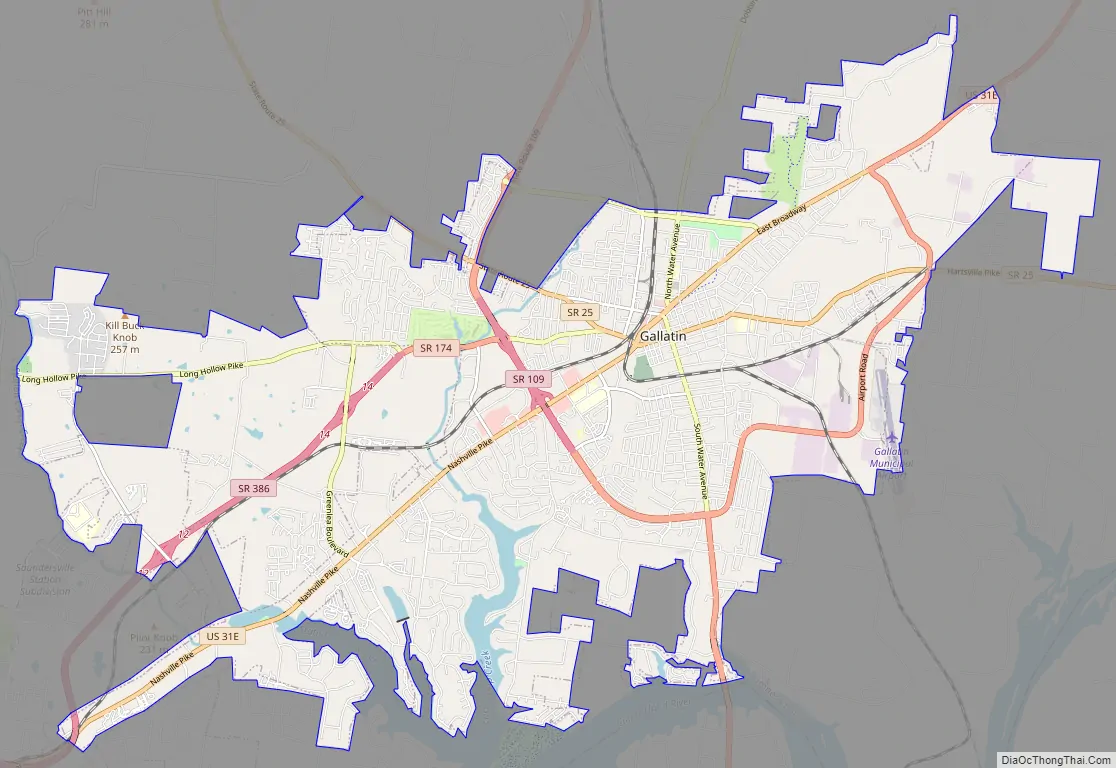
Gallatin Road Map
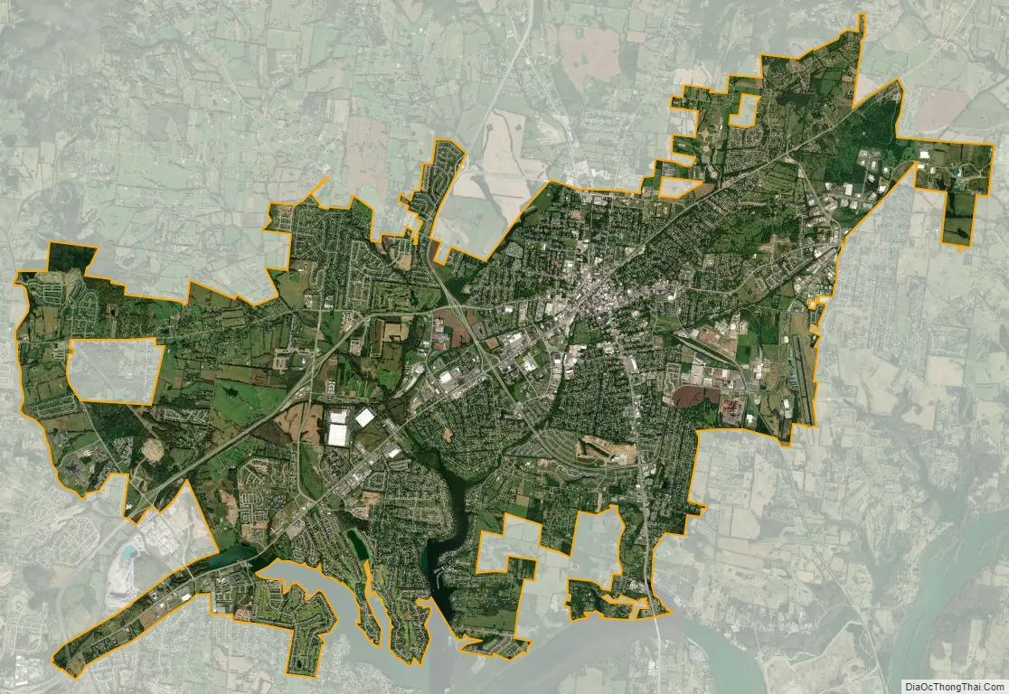
Gallatin city Satellite Map
Geography
According to the United States Census Bureau, the city has a total area of 22.5 square miles (58 km), of which 22.0 square miles (57 km) are land and 0.5 square miles (1.3 km) (2.18%) is covered by water. Gallatin has variety of natural landscapes: open fields, forests, hills, and lakes. The city is located on Station Camp Creek, 3 mi (5 km) north of the Cumberland River, which was the chief route of transportation in the county’s early years of settlement.
Old Hickory Lake, a man-made lake built by the U.S. Army Corps of Engineers as a result of a dam and lock on the Cumberland River, is located southwest of the city near Hendersonville.
Gallatin was on the path of the total solar eclipse of August 21, 2017. Totality of the eclipse, lasting 2 minutes, 38.7 seconds, occurred just before 1:30 PM local DST time (18:28:52.3 UTC)
Climate
High temperatures average 49 °F (9 °C) during the winter, 69 °F (21 °C) in spring, 88 °F (31 °C) in summer, and 72 °F (22 °C) in fall. The coolest month is January, and July is the warmest. The lowest recorded temperature was −20 °F (−29 °C) in 1985. The highest recorded temperature was 106 °F (41 °C) in 2007. The maximum average precipitation occurs in March.
See also
Map of Tennessee State and its subdivision:- Anderson
- Bedford
- Benton
- Bledsoe
- Blount
- Bradley
- Campbell
- Cannon
- Carroll
- Carter
- Cheatham
- Chester
- Claiborne
- Clay
- Cocke
- Coffee
- Crockett
- Cumberland
- Davidson
- Decatur
- DeKalb
- Dickson
- Dyer
- Fayette
- Fentress
- Franklin
- Gibson
- Giles
- Grainger
- Greene
- Grundy
- Hamblen
- Hamilton
- Hancock
- Hardeman
- Hardin
- Hawkins
- Haywood
- Henderson
- Henry
- Hickman
- Houston
- Humphreys
- Jackson
- Jefferson
- Johnson
- Knox
- Lake
- Lauderdale
- Lawrence
- Lewis
- Lincoln
- Loudon
- Macon
- Madison
- Marion
- Marshall
- Maury
- McMinn
- McNairy
- Meigs
- Monroe
- Montgomery
- Moore
- Morgan
- Obion
- Overton
- Perry
- Pickett
- Polk
- Putnam
- Rhea
- Roane
- Robertson
- Rutherford
- Scott
- Sequatchie
- Sevier
- Shelby
- Smith
- Stewart
- Sullivan
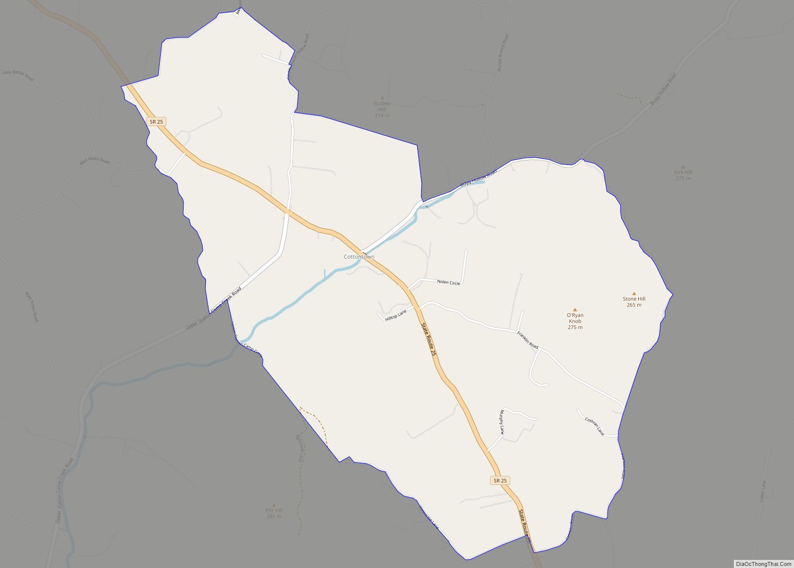
- Sumner
- Tipton
- Trousdale
- Unicoi
- Union
- Van Buren
- Warren
- Washington
- Wayne
- Weakley
- White
- Williamson
- Wilson
- Alabama
- Alaska
- Arizona
- Arkansas
- California
- Colorado
- Connecticut
- Delaware
- District of Columbia
- Florida
- Georgia
- Hawaii
- Idaho
- Illinois
- Indiana
- Iowa
- Kansas
- Kentucky
- Louisiana
- Maine
- Maryland
- Massachusetts
- Michigan
- Minnesota
- Mississippi
- Missouri
- Montana
- Nebraska
- Nevada
- New Hampshire
- New Jersey
- New Mexico
- New York
- North Carolina
- North Dakota
- Ohio
- Oklahoma
- Oregon
- Pennsylvania
- Rhode Island
- South Carolina
- South Dakota
- Tennessee
- Texas
- Utah
- Vermont
- Virginia
- Washington
- West Virginia
- Wisconsin
- Wyoming