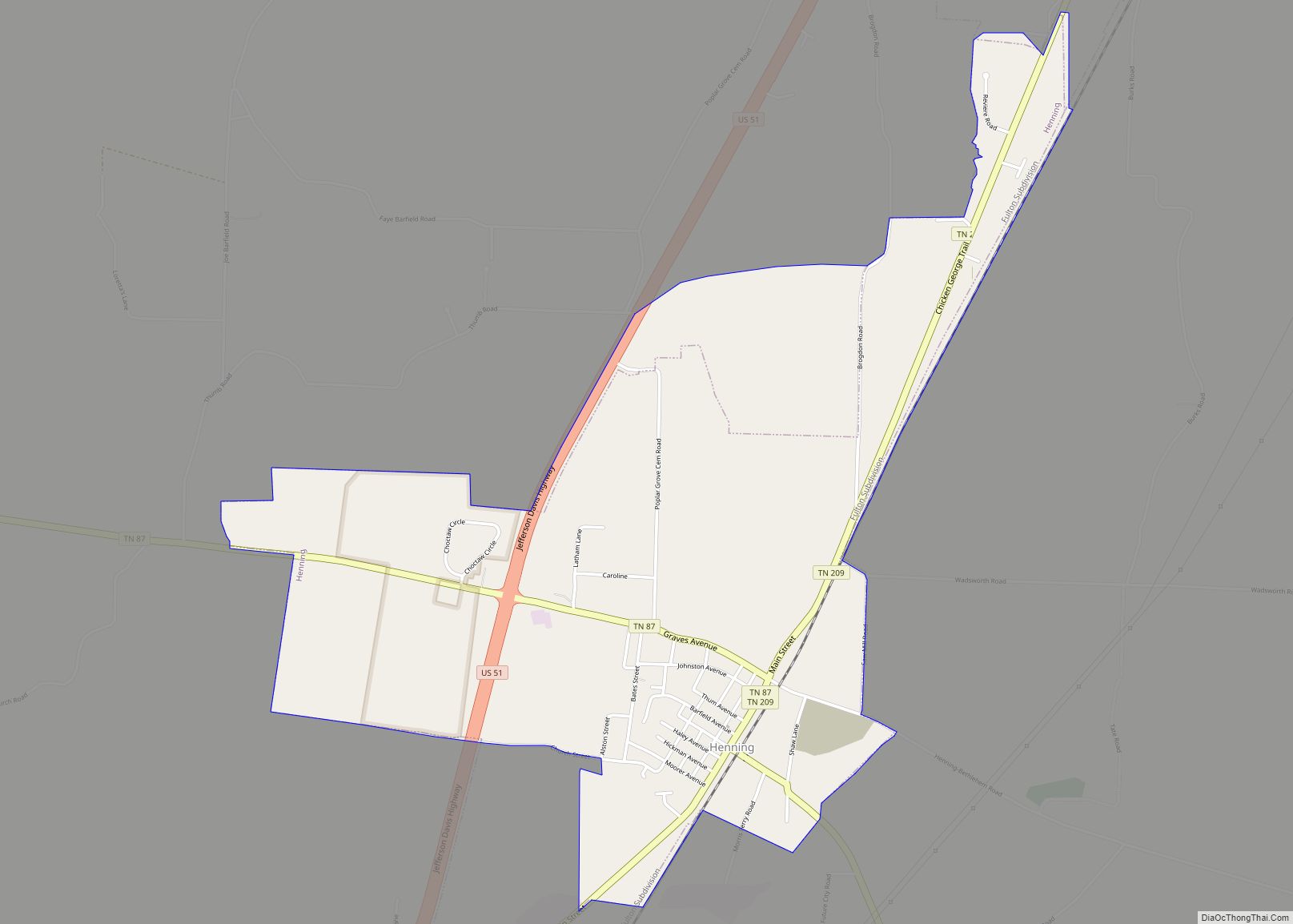
Henning is a town in Lauderdale County, Tennessee, United States. The population was 945 at the 2010 census.
| Name: | Henning town |
|---|---|
| LSAD Code: | 43 |
| LSAD Description: | town (suffix) |
| State: | Tennessee |
| County: | Lauderdale County |
| Elevation: | 292 ft (89 m) |
| Total Area: | 2.47 sq mi (6.40 km²) |
| Land Area: | 2.47 sq mi (6.39 km²) |
| Water Area: | 0.00 sq mi (0.01 km²) |
| Total Population: | 871 |
| Population Density: | 353.06/sq mi (136.31/km²) |
| ZIP code: | 38041 |
| Area code: | 731 |
| FIPS code: | 4733360 |
| GNISfeature ID: | 1287426 |
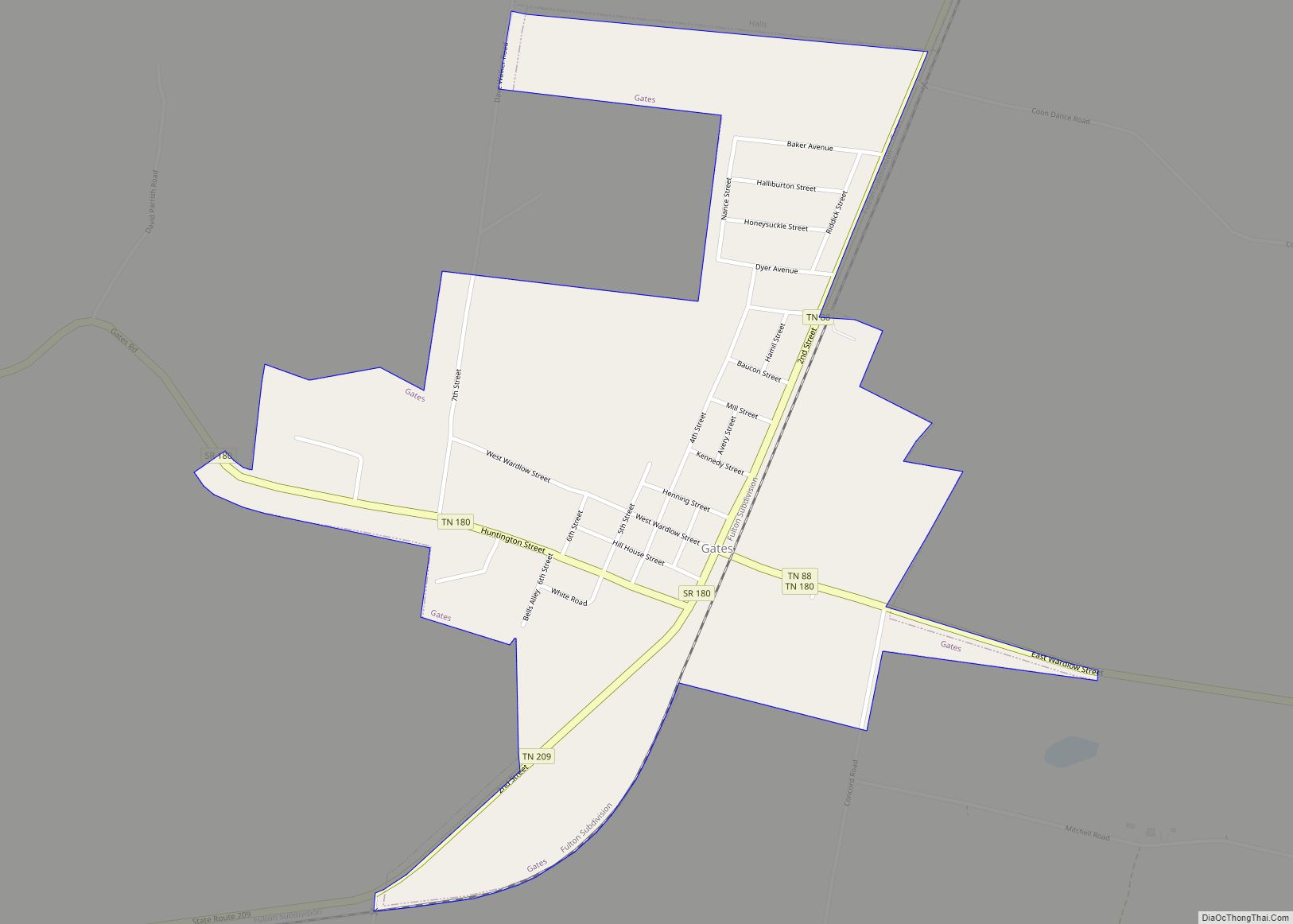
Online Interactive Map
Click on ![]() to view map in "full screen" mode.
to view map in "full screen" mode.
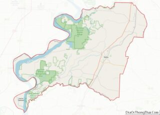
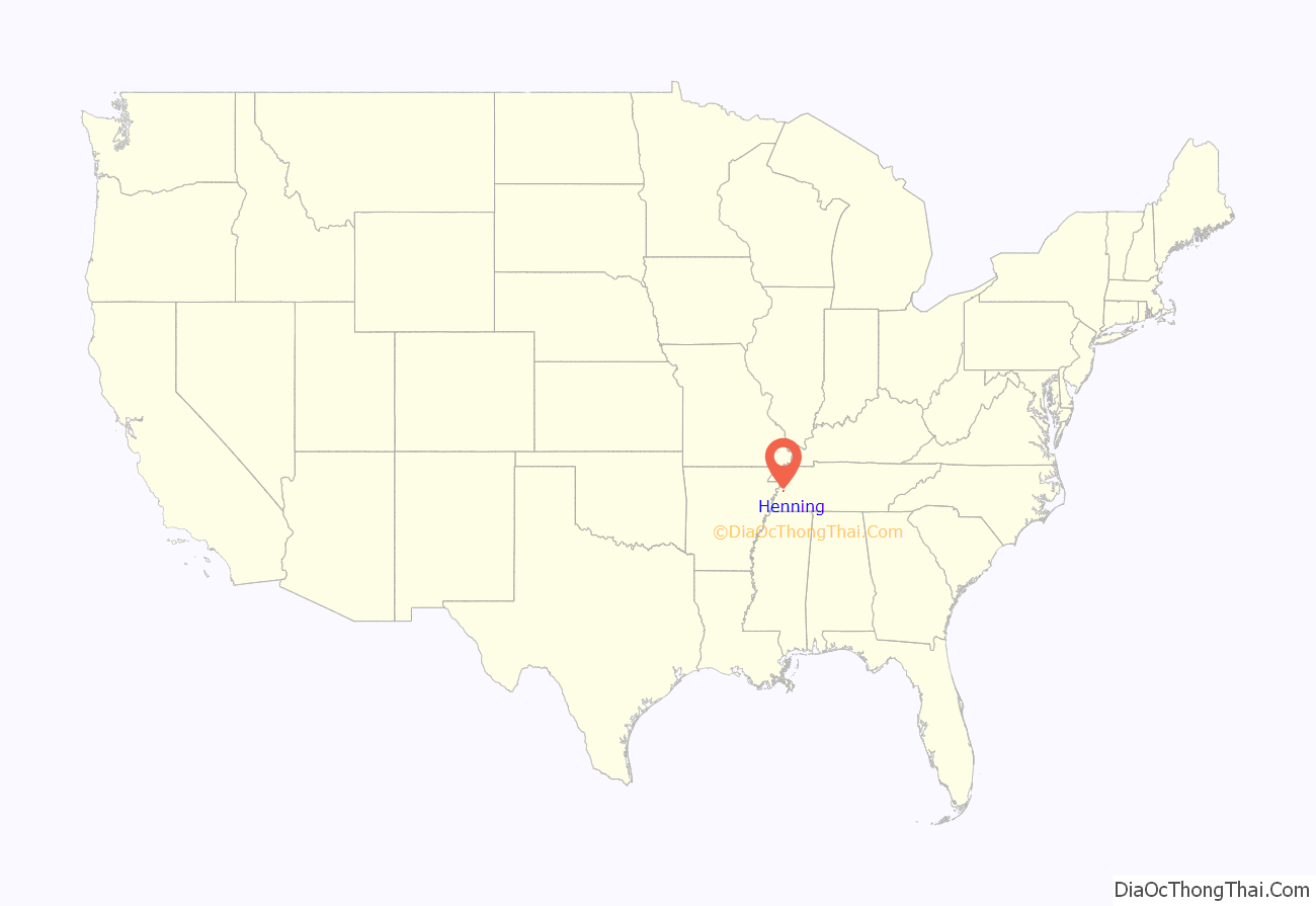
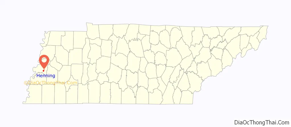
Henning location map. Where is Henning town?
History
Founded in the late 1800s, the town is named after prominent businessman and railway official William H. Henning. The infamous Battle of Fort Pillow, a Civil War victory for the Confederates, took place near Henning. Here, nearly 300 black troops serving in the Union Army were massacred after surrendering by Confederates under the command of General Nathan Bedford Forrest. The Confederate refusal to treat these troops as traditional prisoners of war infuriated the North, and led to the Union’s refusal to participate in prisoner exchanges. Union survivors’ accounts, later supported by a federal investigation, concluded that African-American troops were massacred by Forrest’s men after surrendering.
In 1900, a local black man, Anderson Gause, was lynched by a mob.
Henning Road Map
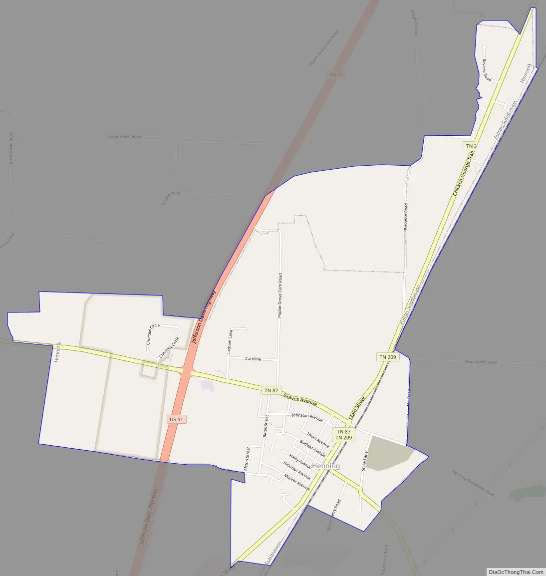
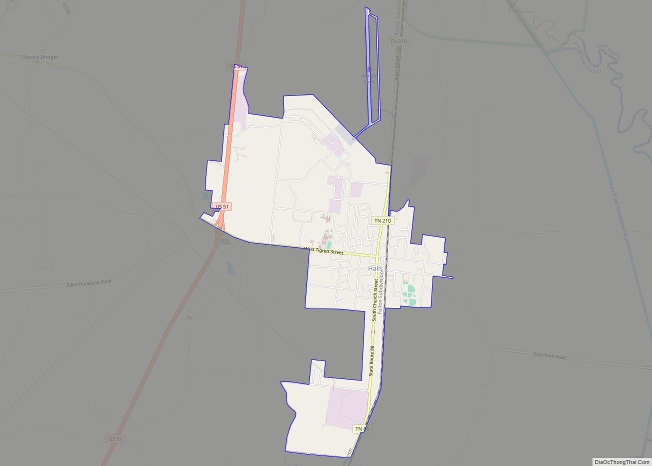
Henning city Satellite Map

Geography
Henning is located at 35°40′25″N 89°34′39″W / 35.67361°N 89.57750°W / 35.67361; -89.57750 (35.673563, -89.577366).
According to the United States Census Bureau, the town has a total area of 1.3 square miles (3.4 km), all land.
Henning is situated on the southeastern edge of the New Madrid Seismic Zone, an area with a high earthquake risk.
See also
Map of Tennessee State and its subdivision:- Anderson
- Bedford
- Benton
- Bledsoe
- Blount
- Bradley
- Campbell
- Cannon
- Carroll
- Carter
- Cheatham
- Chester
- Claiborne
- Clay
- Cocke
- Coffee
- Crockett
- Cumberland
- Davidson
- Decatur
- DeKalb
- Dickson
- Dyer
- Fayette
- Fentress
- Franklin
- Gibson
- Giles
- Grainger
- Greene
- Grundy
- Hamblen
- Hamilton
- Hancock
- Hardeman
- Hardin
- Hawkins
- Haywood
- Henderson
- Henry
- Hickman
- Houston
- Humphreys
- Jackson
- Jefferson
- Johnson
- Knox
- Lake
- Lauderdale
- Lawrence
- Lewis
- Lincoln
- Loudon
- Macon
- Madison
- Marion
- Marshall
- Maury
- McMinn
- McNairy
- Meigs
- Monroe
- Montgomery
- Moore
- Morgan
- Obion
- Overton
- Perry
- Pickett
- Polk
- Putnam
- Rhea
- Roane
- Robertson
- Rutherford
- Scott
- Sequatchie
- Sevier
- Shelby
- Smith
- Stewart
- Sullivan
- Sumner
- Tipton
- Trousdale
- Unicoi
- Union
- Van Buren
- Warren
- Washington
- Wayne
- Weakley
- White
- Williamson
- Wilson
- Alabama
- Alaska
- Arizona
- Arkansas
- California
- Colorado
- Connecticut
- Delaware
- District of Columbia
- Florida
- Georgia
- Hawaii
- Idaho
- Illinois
- Indiana
- Iowa
- Kansas
- Kentucky
- Louisiana
- Maine
- Maryland
- Massachusetts
- Michigan
- Minnesota
- Mississippi
- Missouri
- Montana
- Nebraska
- Nevada
- New Hampshire
- New Jersey
- New Mexico
- New York
- North Carolina
- North Dakota
- Ohio
- Oklahoma
- Oregon
- Pennsylvania
- Rhode Island
- South Carolina
- South Dakota
- Tennessee
- Texas
- Utah
- Vermont
- Virginia
- Washington
- West Virginia
- Wisconsin
- Wyoming