Hickory Valley is a town in Hardeman County, Tennessee, United States. The population was 99 at the 2010 census. Hickory Valley’s origin dates back to the blending of three independent pioneer settlements in the area that were founded by three men: William Shinault in 1820, Drury Wood in 1826 and William Barnett in 1827.
| Name: | Hickory Valley town |
|---|---|
| LSAD Code: | 43 |
| LSAD Description: | town (suffix) |
| State: | Tennessee |
| County: | Hardeman County |
| Incorporated: | 1820 |
| Elevation: | 564 ft (172 m) |
| Total Area: | 0.32 sq mi (0.82 km²) |
| Land Area: | 0.32 sq mi (0.82 km²) |
| Water Area: | 0.00 sq mi (0.00 km²) |
| Total Population: | 78 |
| Population Density: | 246.06/sq mi (95.06/km²) |
| ZIP code: | 38042 |
| Area code: | 731 |
| FIPS code: | 4733920 |
| GNISfeature ID: | 1287628 |
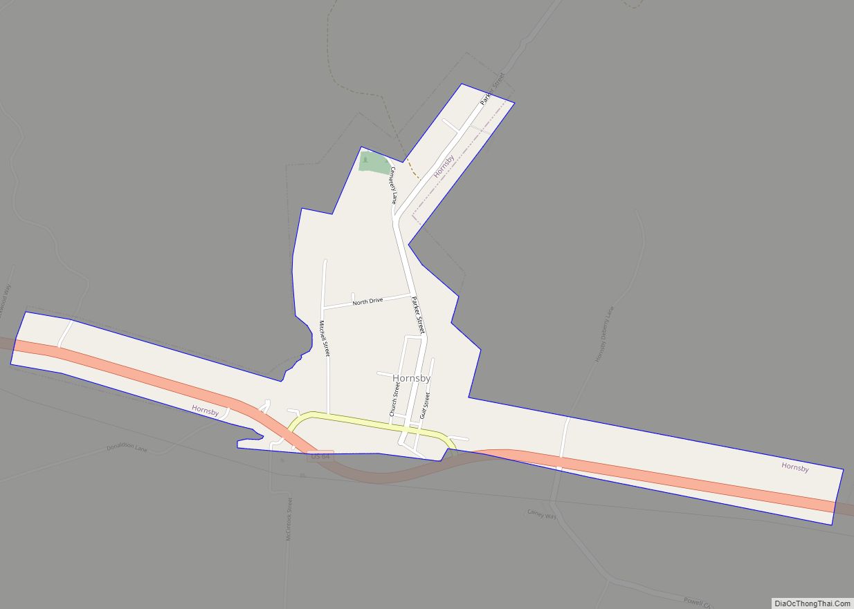
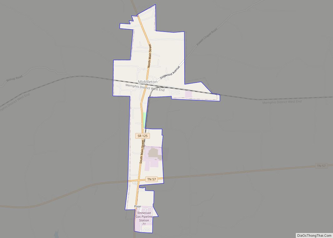
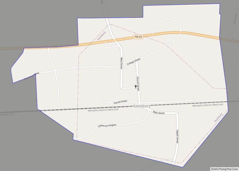
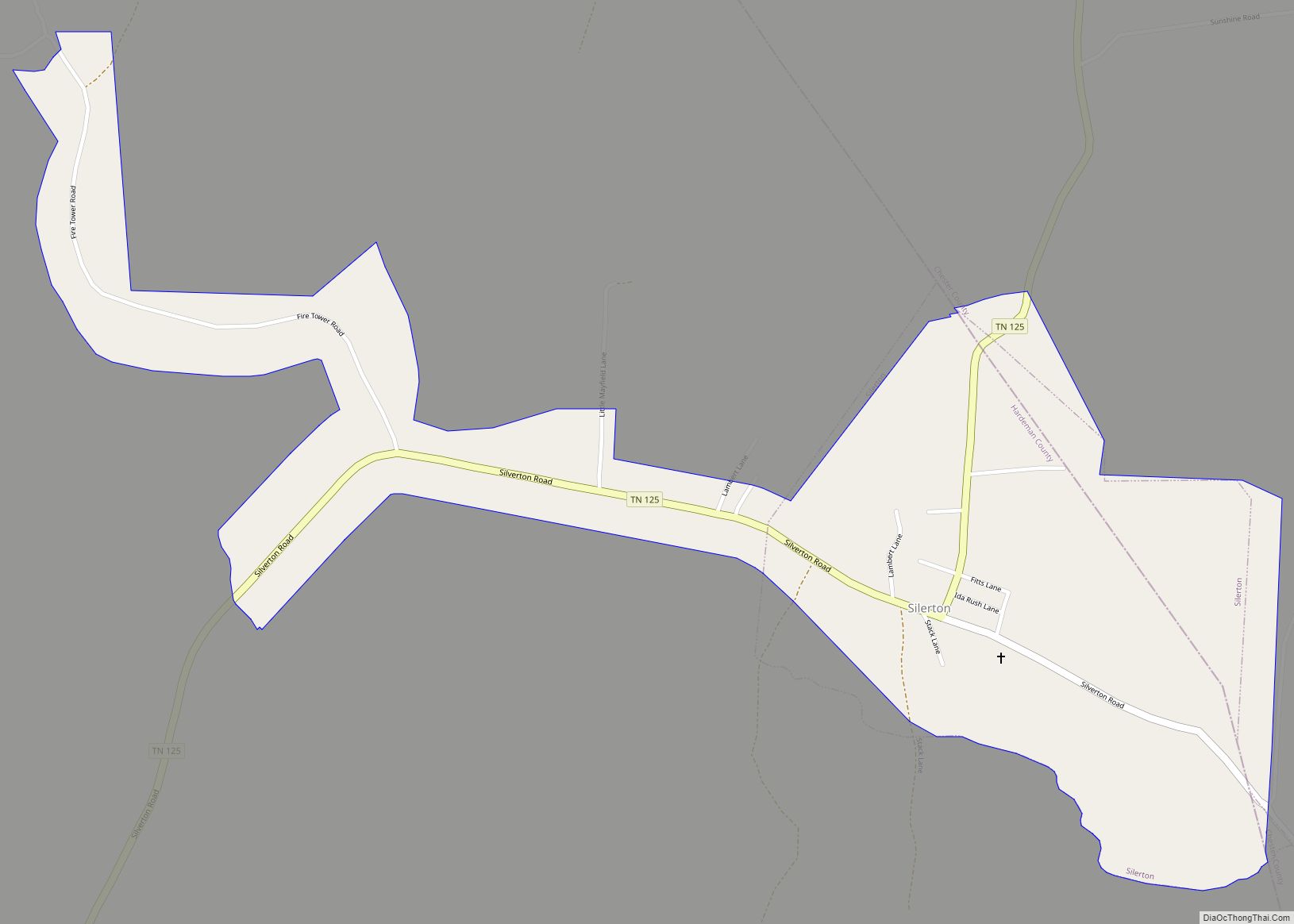
Online Interactive Map
Click on ![]() to view map in "full screen" mode.
to view map in "full screen" mode.
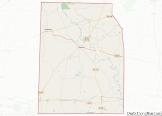
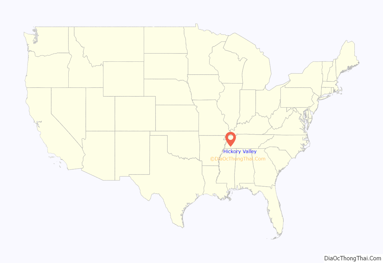
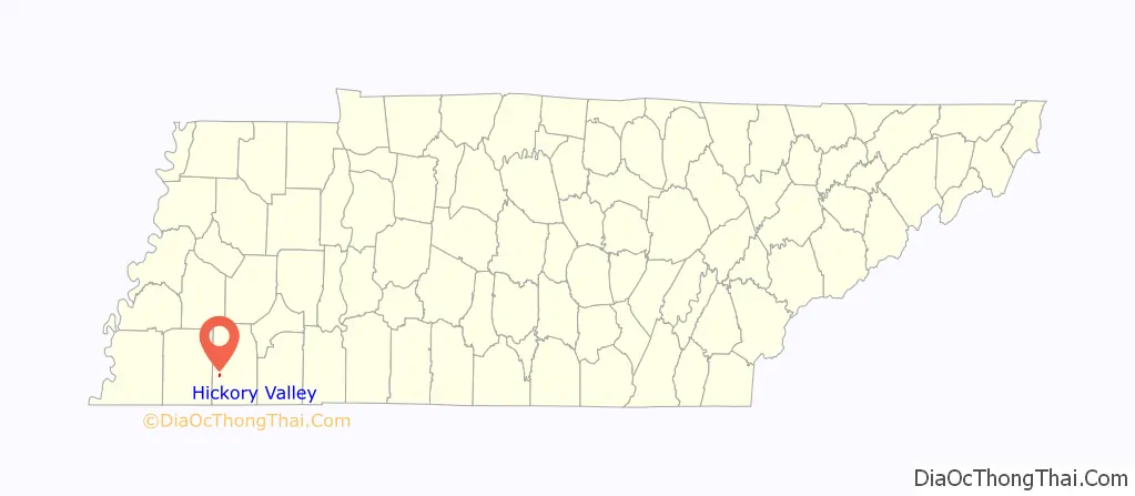
Hickory Valley location map. Where is Hickory Valley town?
History
Hickory Valley’s origin dates back to the blending of three independent pioneer settlements in the area that were founded by three men: William Shinault in 1820, Drury Wood in 1826 and William Barnett in 1827. The Shinault Settlement formed before Hardeman County was organized and featured the first school in Hardeman County, which operated as early as 1823. The main buildings of the settlement were located one mile southwest of the present town and a former Indian trail and the historical Boliver-LaGrange Road are still visible in some places south of Hickory Valley. In 1826 Drury Wood migrated to the area and founded the Hickory Valley settlement; a cemetery for the Wood family is still located in the area and marks the original site of the settlement. William Barnett would move into the area in 1827 and would establish Mt. Comfort Church and a campground about two miles west of the present town. The Chickasaw also resided in the area.
The construction of the railroad into the area in the 1850s brought a growth in population. A railroad levee that runs through the town is still visible, and is believed to have been built by slaves from a plantation owned by Darius Robinson. Railroad engineer Casey Jones was a frequenter of the town during his travels.
Hickory Valley was deeply affected by the Civil War. The railroad fell under the control of the Union Army after being abandoned by the Confederate Army. Skirmishes were fought in the area as well. In 1873 the city was laid out again and the city began to revive until the yellow fever epidemic of 1878. The town’s population was described by the Bolivar Bulletin as “fleeing from the scourge”. The town was also quarantined in 1882 due to a smallpox outbreak.
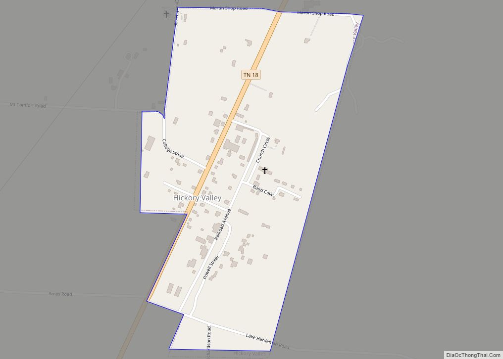
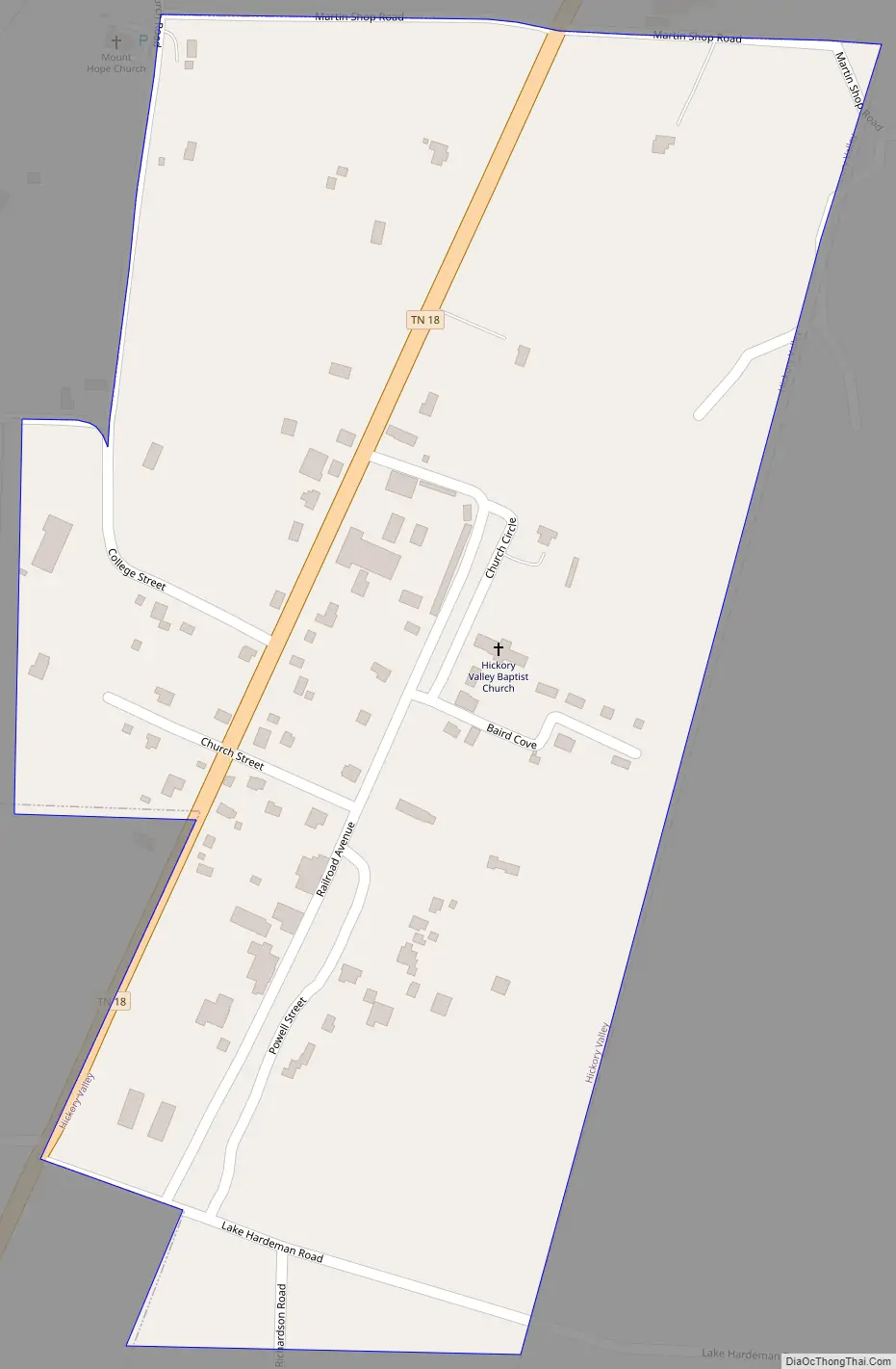
Hickory Valley Road Map
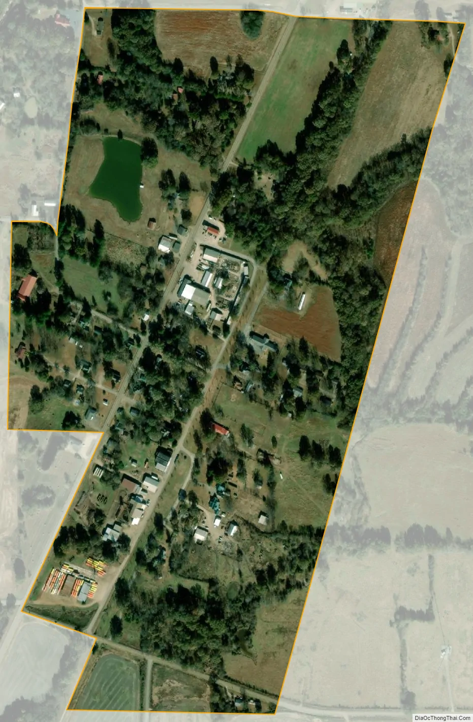
Hickory Valley city Satellite Map
Geography
Hickory Valley is located at 35°9′18″N 89°7′36″W / 35.15500°N 89.12667°W / 35.15500; -89.12667 (35.154873, -89.126577).
According to the United States Census Bureau, the town has a total area of 0.3 square miles (0.78 km), all land.
See also
Map of Tennessee State and its subdivision:- Anderson
- Bedford
- Benton
- Bledsoe
- Blount
- Bradley
- Campbell
- Cannon
- Carroll
- Carter
- Cheatham
- Chester
- Claiborne
- Clay
- Cocke
- Coffee
- Crockett
- Cumberland
- Davidson
- Decatur
- DeKalb
- Dickson
- Dyer
- Fayette
- Fentress
- Franklin
- Gibson
- Giles
- Grainger
- Greene
- Grundy
- Hamblen
- Hamilton
- Hancock
- Hardeman
- Hardin
- Hawkins
- Haywood
- Henderson
- Henry
- Hickman
- Houston
- Humphreys
- Jackson
- Jefferson
- Johnson
- Knox
- Lake
- Lauderdale
- Lawrence
- Lewis
- Lincoln
- Loudon
- Macon
- Madison
- Marion
- Marshall
- Maury
- McMinn
- McNairy
- Meigs
- Monroe
- Montgomery
- Moore
- Morgan
- Obion
- Overton
- Perry
- Pickett
- Polk
- Putnam
- Rhea
- Roane
- Robertson
- Rutherford
- Scott
- Sequatchie
- Sevier
- Shelby
- Smith
- Stewart
- Sullivan
- Sumner
- Tipton
- Trousdale
- Unicoi
- Union
- Van Buren
- Warren
- Washington
- Wayne
- Weakley
- White
- Williamson
- Wilson
- Alabama
- Alaska
- Arizona
- Arkansas
- California
- Colorado
- Connecticut
- Delaware
- District of Columbia
- Florida
- Georgia
- Hawaii
- Idaho
- Illinois
- Indiana
- Iowa
- Kansas
- Kentucky
- Louisiana
- Maine
- Maryland
- Massachusetts
- Michigan
- Minnesota
- Mississippi
- Missouri
- Montana
- Nebraska
- Nevada
- New Hampshire
- New Jersey
- New Mexico
- New York
- North Carolina
- North Dakota
- Ohio
- Oklahoma
- Oregon
- Pennsylvania
- Rhode Island
- South Carolina
- South Dakota
- Tennessee
- Texas
- Utah
- Vermont
- Virginia
- Washington
- West Virginia
- Wisconsin
- Wyoming