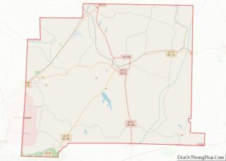
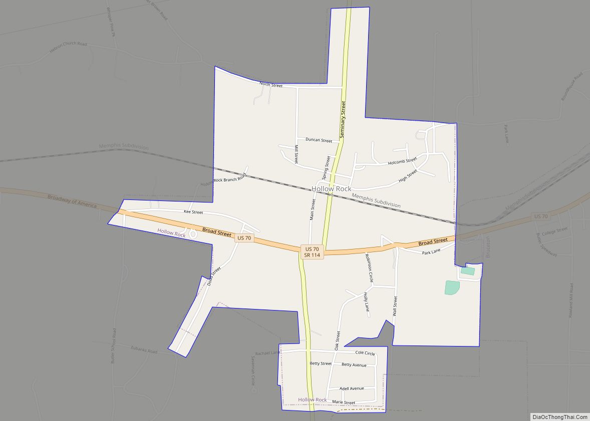
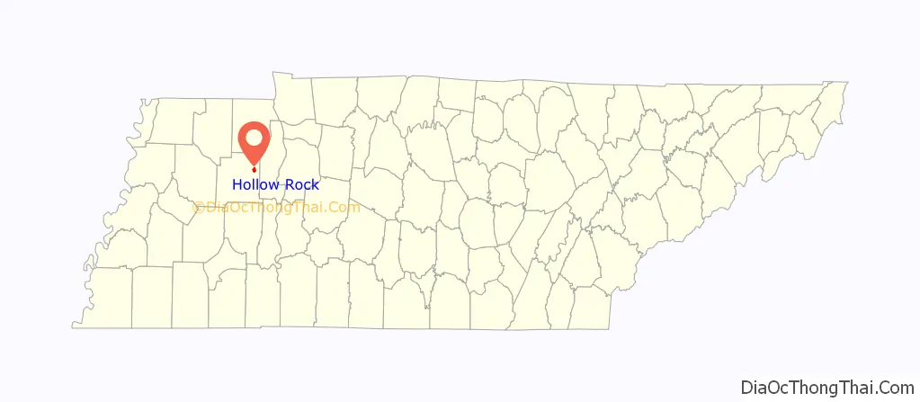
Hollow Rock is a town in Carroll County, Tennessee, United States. The population was 718 at the 2010 census. Hollow Rock is just west of, and adjacent to, the town of Bruceton and is 70 km (43 mi) northeast of Jackson.
| Name: | Hollow Rock town |
|---|---|
| LSAD Code: | 43 |
| LSAD Description: | town (suffix) |
| State: | Tennessee |
| County: | Carroll County |
| Incorporated: | 1911 |
| Elevation: | 420 ft (130 m) |
| Total Area: | 1.70 sq mi (4.41 km²) |
| Land Area: | 1.69 sq mi (4.38 km²) |
| Water Area: | 0.01 sq mi (0.03 km²) |
| Total Population: | 683 |
| Population Density: | 403.90/sq mi (155.93/km²) |
| ZIP code: | 38342 |
| Area code: | 731 |
| FIPS code: | 4735280 |
| GNISfeature ID: | 1288081 |
| Website: | http://carrollcounty-tn-chamber.com/hollow-rock-1.htm |
Online Interactive Map
Click on ![]() to view map in "full screen" mode.
to view map in "full screen" mode.
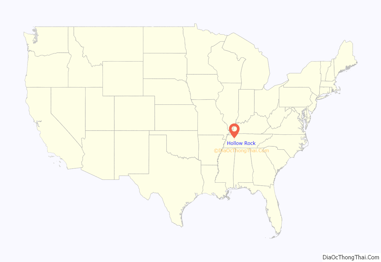
Hollow Rock location map. Where is Hollow Rock town?
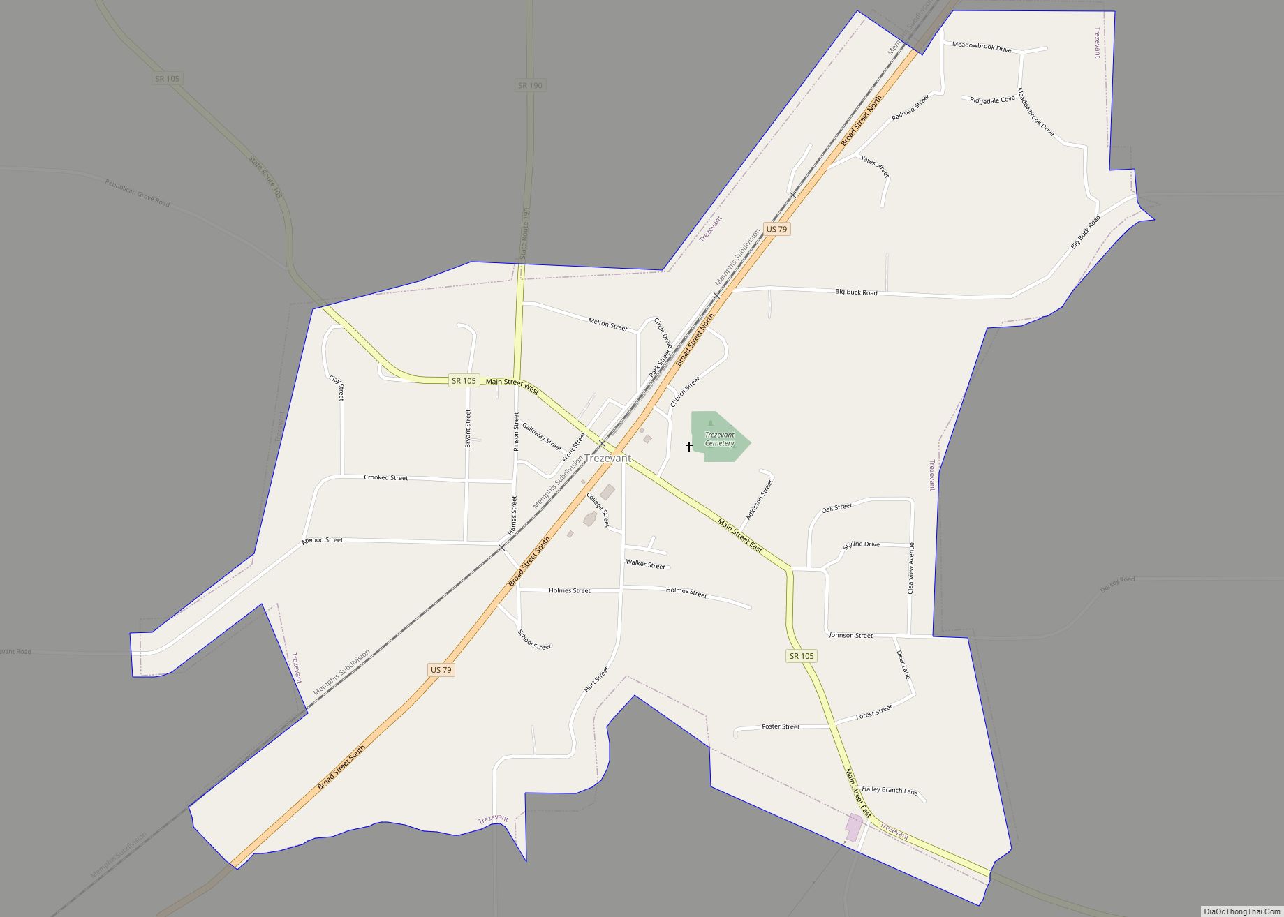
Hollow Rock Road Map
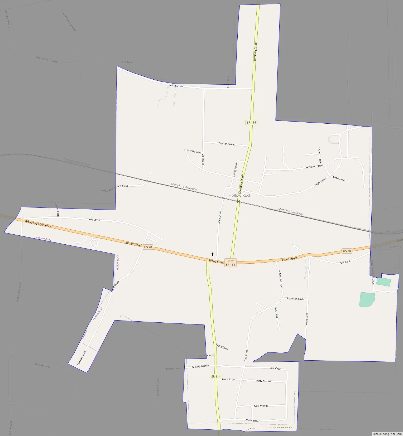
Hollow Rock city Satellite Map
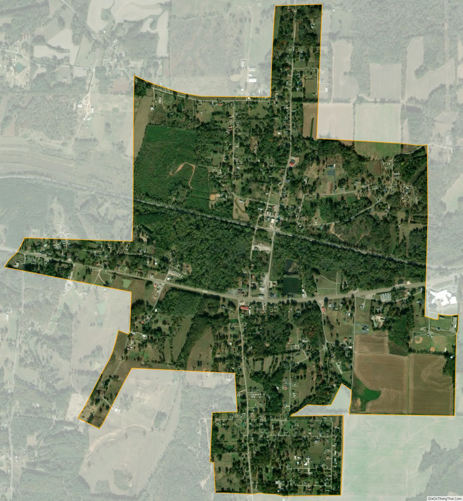
Geography
Hollow Rock is located at 36°2′8″N 88°16′30″W / 36.03556°N 88.27500°W / 36.03556; -88.27500 (36.035530, -88.274916).
According to the United States Census Bureau, the town has a total area of 1.8 square miles (4.7 km), of which 1.8 square miles (4.7 km) is land and 0.56% is water.
See also
Map of Tennessee State and its subdivision:- Anderson
- Bedford
- Benton
- Bledsoe
- Blount
- Bradley
- Campbell
- Cannon
- Carroll
- Carter
- Cheatham
- Chester
- Claiborne
- Clay
- Cocke
- Coffee
- Crockett
- Cumberland
- Davidson
- Decatur
- DeKalb
- Dickson
- Dyer
- Fayette
- Fentress
- Franklin
- Gibson
- Giles
- Grainger
- Greene
- Grundy
- Hamblen
- Hamilton
- Hancock
- Hardeman
- Hardin
- Hawkins
- Haywood
- Henderson
- Henry
- Hickman
- Houston
- Humphreys
- Jackson
- Jefferson
- Johnson
- Knox
- Lake
- Lauderdale
- Lawrence
- Lewis
- Lincoln
- Loudon
- Macon
- Madison
- Marion
- Marshall
- Maury
- McMinn
- McNairy
- Meigs
- Monroe
- Montgomery
- Moore
- Morgan
- Obion
- Overton
- Perry
- Pickett
- Polk
- Putnam
- Rhea
- Roane
- Robertson
- Rutherford
- Scott
- Sequatchie
- Sevier
- Shelby
- Smith
- Stewart
- Sullivan
- Sumner
- Tipton
- Trousdale
- Unicoi
- Union
- Van Buren
- Warren
- Washington
- Wayne
- Weakley
- White
- Williamson
- Wilson
- Alabama
- Alaska
- Arizona
- Arkansas
- California
- Colorado
- Connecticut
- Delaware
- District of Columbia
- Florida
- Georgia
- Hawaii
- Idaho
- Illinois
- Indiana
- Iowa
- Kansas
- Kentucky
- Louisiana
- Maine
- Maryland
- Massachusetts
- Michigan
- Minnesota
- Mississippi
- Missouri
- Montana
- Nebraska
- Nevada
- New Hampshire
- New Jersey
- New Mexico
- New York
- North Carolina
- North Dakota
- Ohio
- Oklahoma
- Oregon
- Pennsylvania
- Rhode Island
- South Carolina
- South Dakota
- Tennessee
- Texas
- Utah
- Vermont
- Virginia
- Washington
- West Virginia
- Wisconsin
- Wyoming