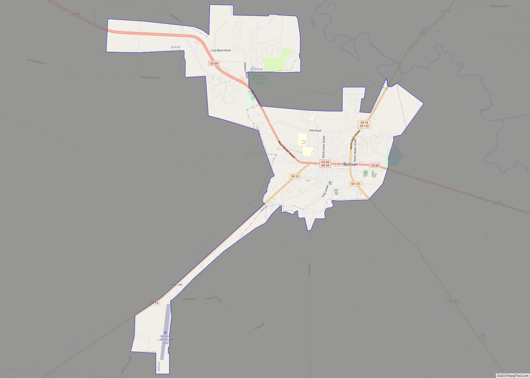
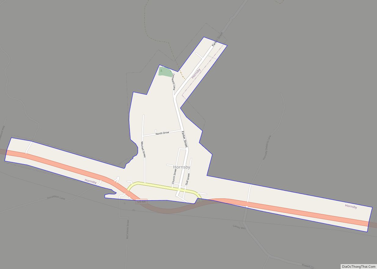
Hornsby is a town in Hardeman County, Tennessee. The population was 303 at the 2010 census. The town is just east of Bolivar along U.S. Highway 64.
| Name: | Hornsby town |
|---|---|
| LSAD Code: | 43 |
| LSAD Description: | town (suffix) |
| State: | Tennessee |
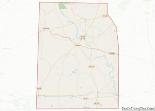
| County: | Hardeman County |
| Elevation: | 381 ft (116 m) |
| Total Area: | 1.05 sq mi (2.72 km²) |
| Land Area: | 1.05 sq mi (2.72 km²) |
| Water Area: | 0.00 sq mi (0.00 km²) |
| Total Population: | 264 |
| Population Density: | 250.95/sq mi (96.93/km²) |
| ZIP code: | 38044 |
| Area code: | 731 |
| FIPS code: | 4736080 |
| GNISfeature ID: | 1288378 |
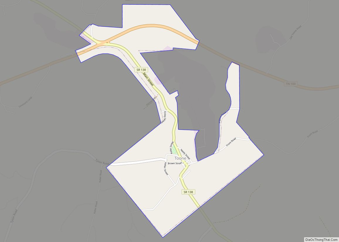
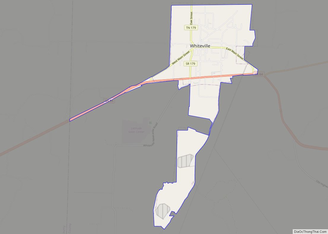
Online Interactive Map
Click on ![]() to view map in "full screen" mode.
to view map in "full screen" mode.
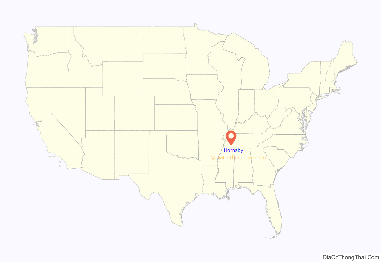
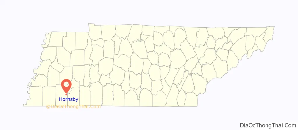
Hornsby location map. Where is Hornsby town?
History
Before 1820, Dr. Daniel Smith Webb started a gristmill and sawmill along the Little Hatchie River in Wade Creek Valley. The area would come to be known as Webb’s Mill, and in the 1820s, Joel and William Crain, two Revolutionary veterans, moved to the area and founded a port and supply depot near Webb’s Mill. The area would eventually have a two churches, a subscription school, a stagecoach stop and an inn between Bolivar and Purdy. This town would be called Crainville. Crainville would become a railroad town in the early 1900s and a new train depot was built by the Gulf, Mobile and Northern Railroad on a farm owned by Kimborough Hornsby. An artesian well was drilled in 1915 near the depot and was the first of its kind in the United States. On October 16, 1920, Hornsby’s charter was written and a new government was formed. The first home was built by Finley Holyfield in 1919 and by 1923 the town had earned the name “the village of artesian wells,” with nine in total.
In 1971, a tornado hit Hornsby, destroying a number of homes. A number of early 20th century homes still stand in the area and the remains of Crainville are still visible just east of town.
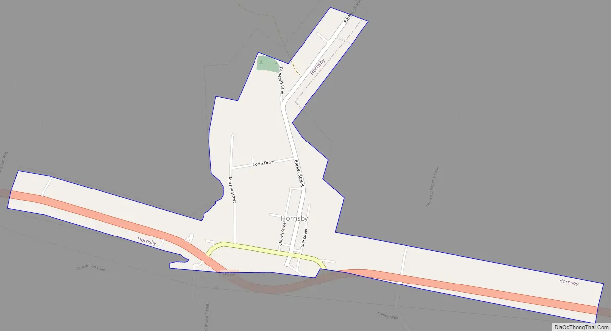
Hornsby Road Map
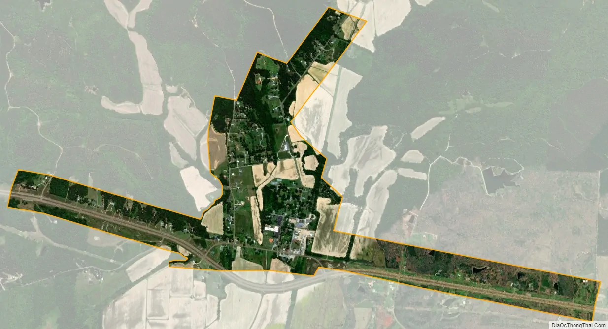
Hornsby city Satellite Map
Geography
Hornsby is located at 35°13′36″N 88°49′47″W / 35.22667°N 88.82972°W / 35.22667; -88.82972 (35.226693, -88.829793).
According to the United States Census Bureau, the town has a total area of 1.3 square miles (3.4 km), all land.
See also
Map of Tennessee State and its subdivision:- Anderson
- Bedford
- Benton
- Bledsoe
- Blount
- Bradley
- Campbell
- Cannon
- Carroll
- Carter
- Cheatham
- Chester
- Claiborne
- Clay
- Cocke
- Coffee
- Crockett
- Cumberland
- Davidson
- Decatur
- DeKalb
- Dickson
- Dyer
- Fayette
- Fentress
- Franklin
- Gibson
- Giles
- Grainger
- Greene
- Grundy
- Hamblen
- Hamilton
- Hancock
- Hardeman
- Hardin
- Hawkins
- Haywood
- Henderson
- Henry
- Hickman
- Houston
- Humphreys
- Jackson
- Jefferson
- Johnson
- Knox
- Lake
- Lauderdale
- Lawrence
- Lewis
- Lincoln
- Loudon
- Macon
- Madison
- Marion
- Marshall
- Maury
- McMinn
- McNairy
- Meigs
- Monroe
- Montgomery
- Moore
- Morgan
- Obion
- Overton
- Perry
- Pickett
- Polk
- Putnam
- Rhea
- Roane
- Robertson
- Rutherford
- Scott
- Sequatchie
- Sevier
- Shelby
- Smith
- Stewart
- Sullivan
- Sumner
- Tipton
- Trousdale
- Unicoi
- Union
- Van Buren
- Warren
- Washington
- Wayne
- Weakley
- White
- Williamson
- Wilson
- Alabama
- Alaska
- Arizona
- Arkansas
- California
- Colorado
- Connecticut
- Delaware
- District of Columbia
- Florida
- Georgia
- Hawaii
- Idaho
- Illinois
- Indiana
- Iowa
- Kansas
- Kentucky
- Louisiana
- Maine
- Maryland
- Massachusetts
- Michigan
- Minnesota
- Mississippi
- Missouri
- Montana
- Nebraska
- Nevada
- New Hampshire
- New Jersey
- New Mexico
- New York
- North Carolina
- North Dakota
- Ohio
- Oklahoma
- Oregon
- Pennsylvania
- Rhode Island
- South Carolina
- South Dakota
- Tennessee
- Texas
- Utah
- Vermont
- Virginia
- Washington
- West Virginia
- Wisconsin
- Wyoming