La Vergne (/ləˈvɜːrn/ lə-VURN) is a city in Rutherford County, Tennessee, United States. The population was 38,719 at the 2020 census. La Vergne lies within the Nashville Metropolitan Statistical Area.
| Name: | La Vergne city |
|---|---|
| LSAD Code: | 25 |
| LSAD Description: | city (suffix) |
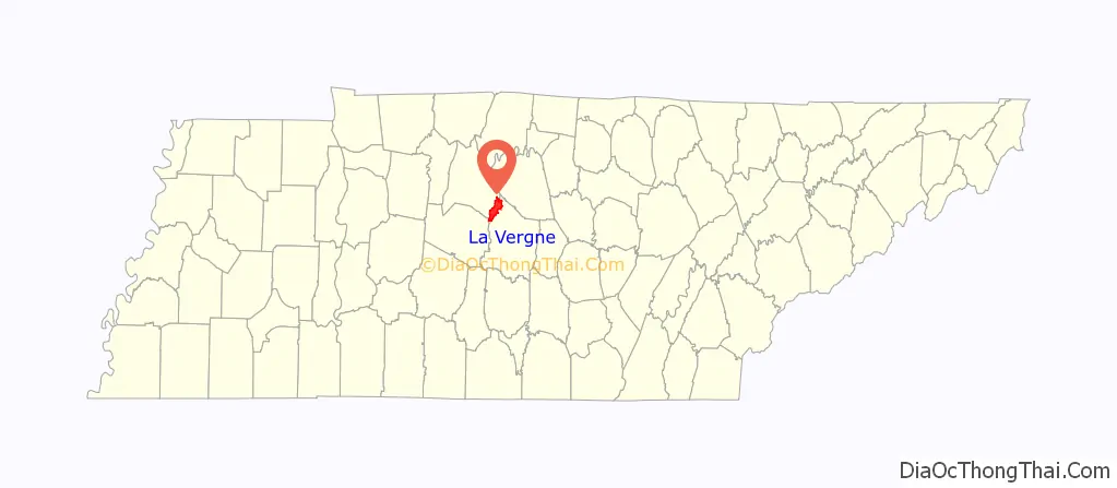
| State: | Tennessee |
| County: | Rutherford County |
| Elevation: | 584 ft (178 m) |
| Total Area: | 24.95 sq mi (64.63 km²) |
| Land Area: | 24.71 sq mi (64.01 km²) |
| Water Area: | 0.24 sq mi (0.62 km²) 1.20% |
| Total Population: | 38,719 |
| Population Density: | 1,566.62/sq mi (604.88/km²) |
| ZIP code: | 37086 |
| Area code: | 615 |
| FIPS code: | 4741200 |
| GNISfeature ID: | 1290433 |
| Website: | www.lavergnetn.gov |
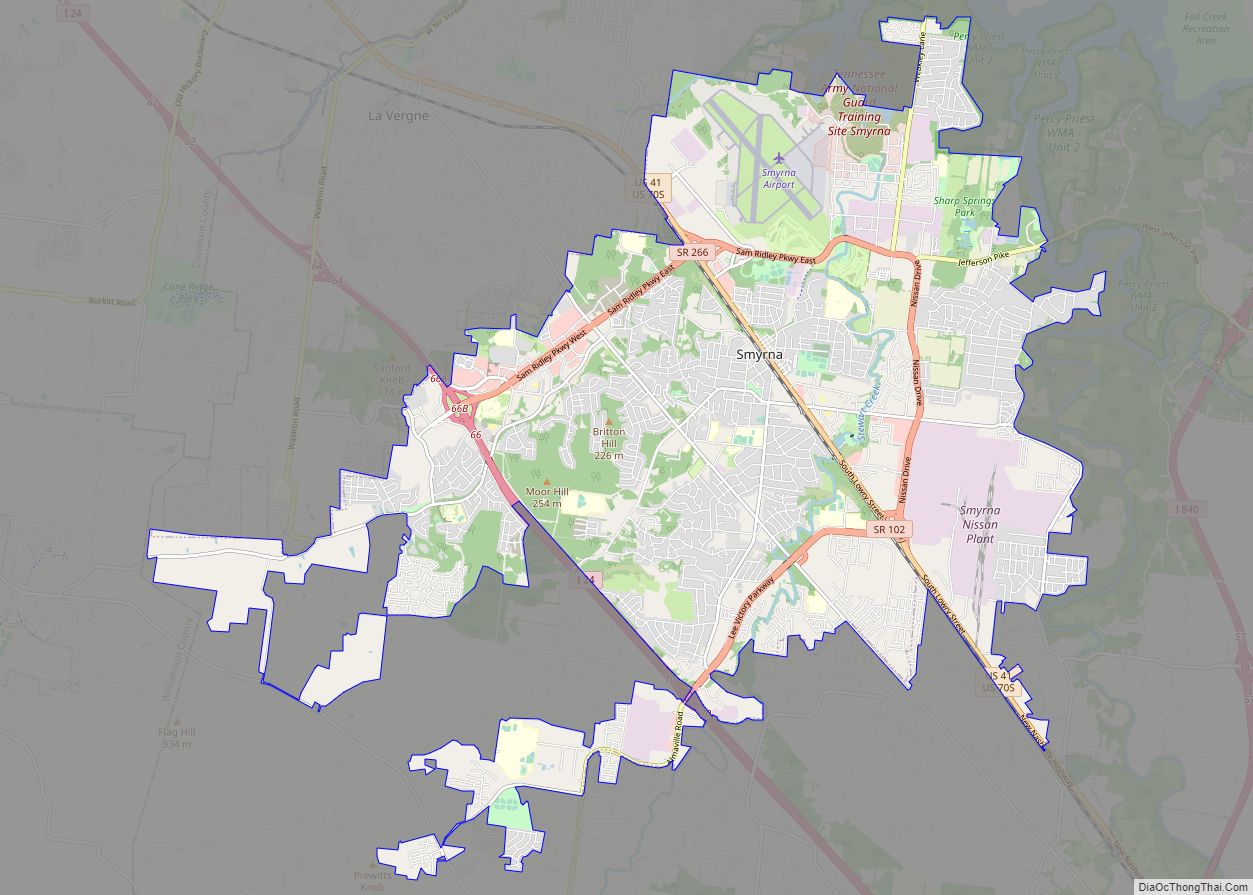
Online Interactive Map
Click on ![]() to view map in "full screen" mode.
to view map in "full screen" mode.
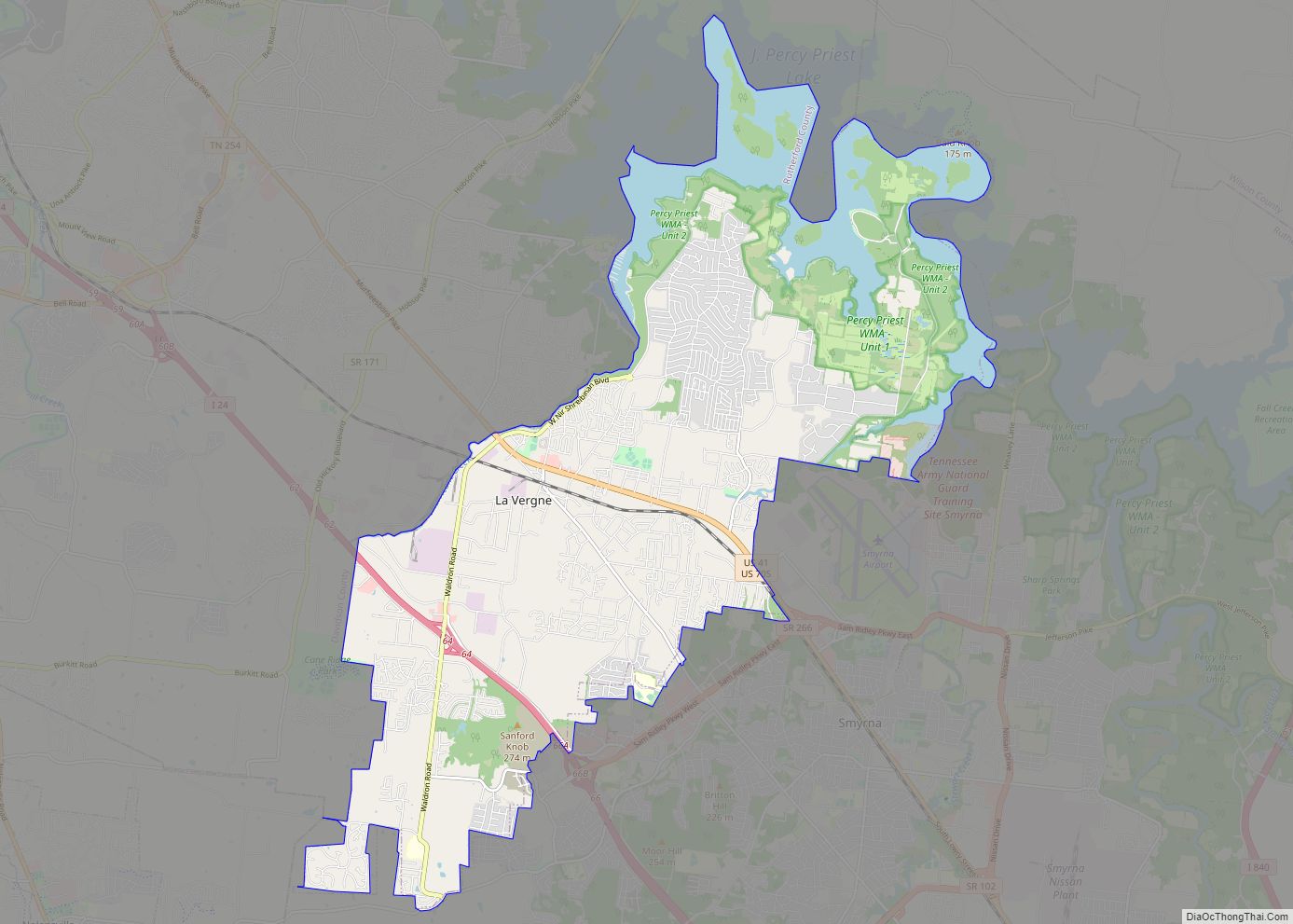
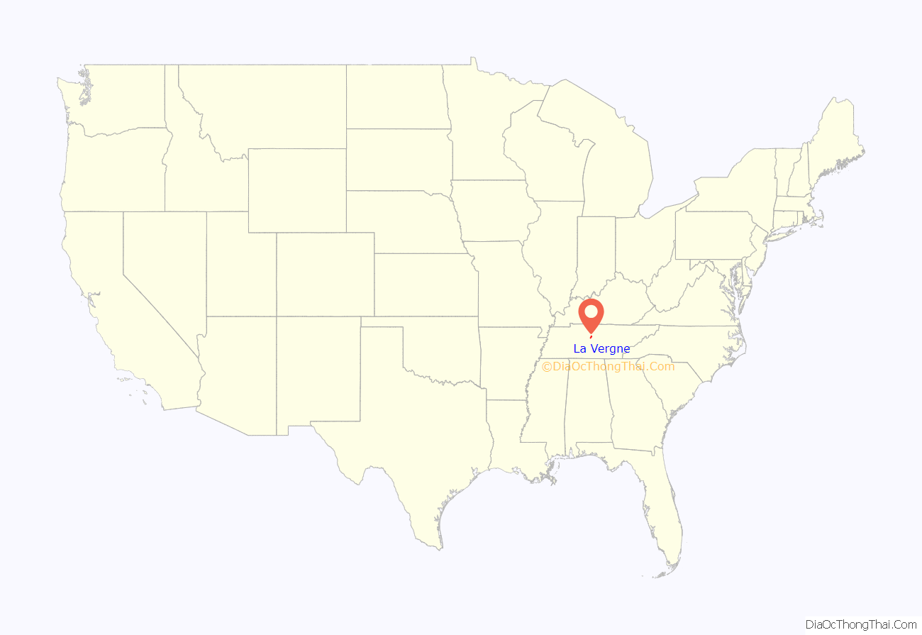
La Vergne location map. Where is La Vergne city?
History
La Vergne was incorporated in 1861. Historical variant names include Laveren and Lavergne.
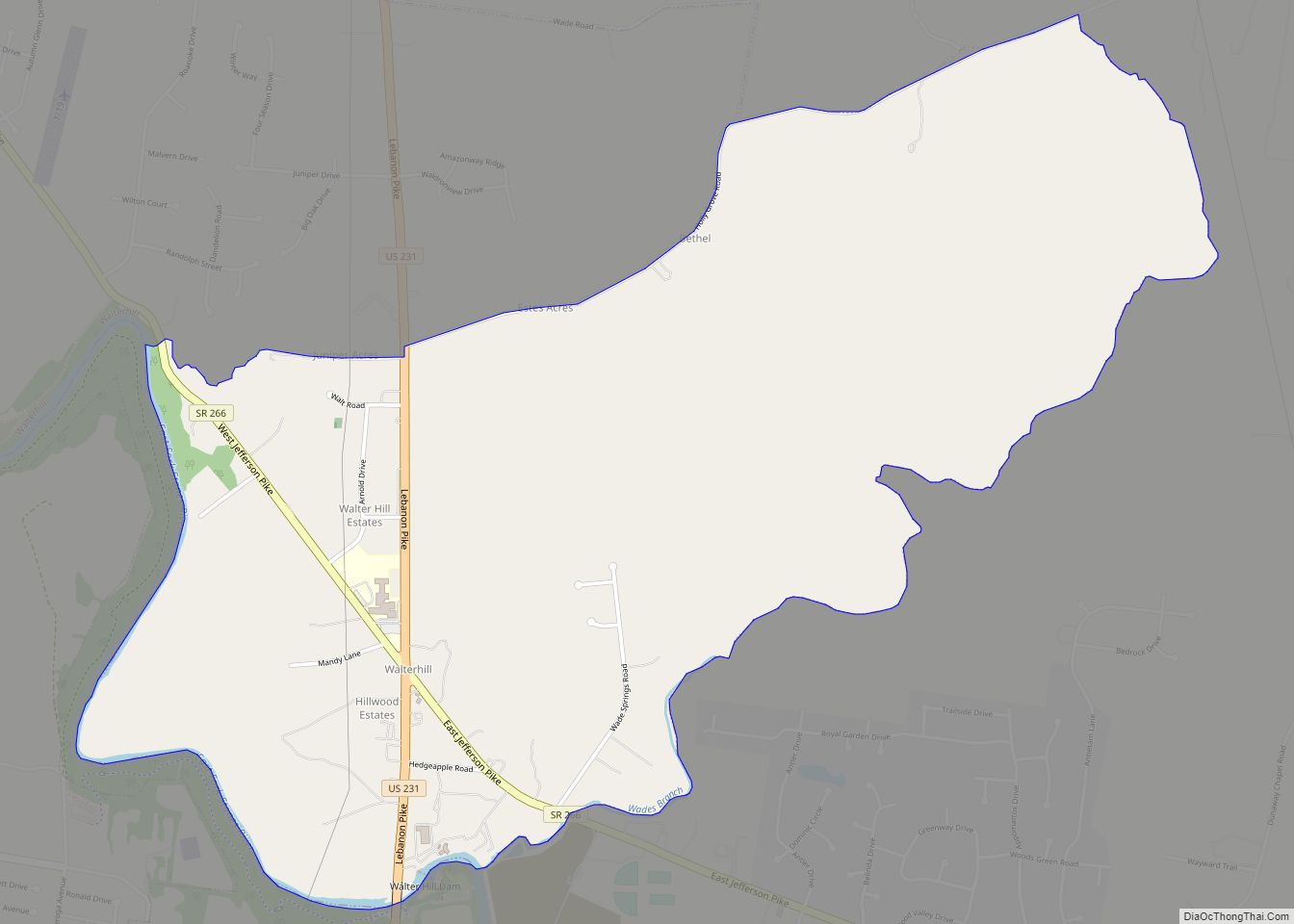
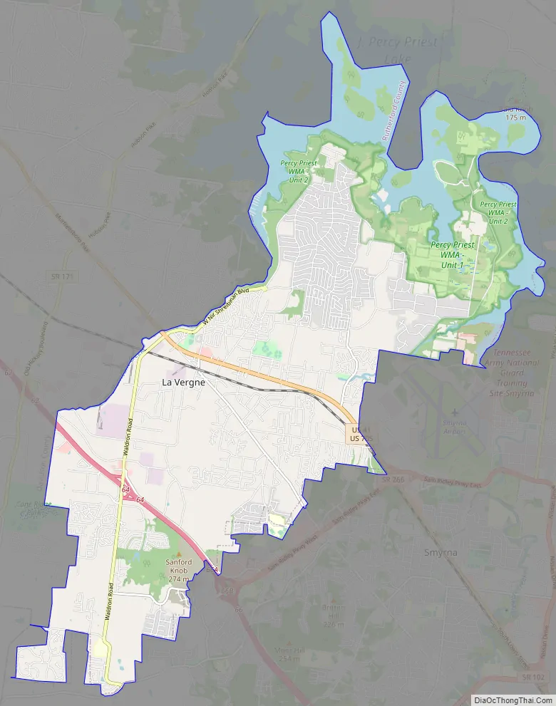
La Vergne Road Map
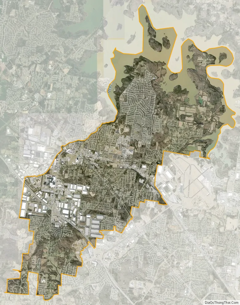
La Vergne city Satellite Map
Geography
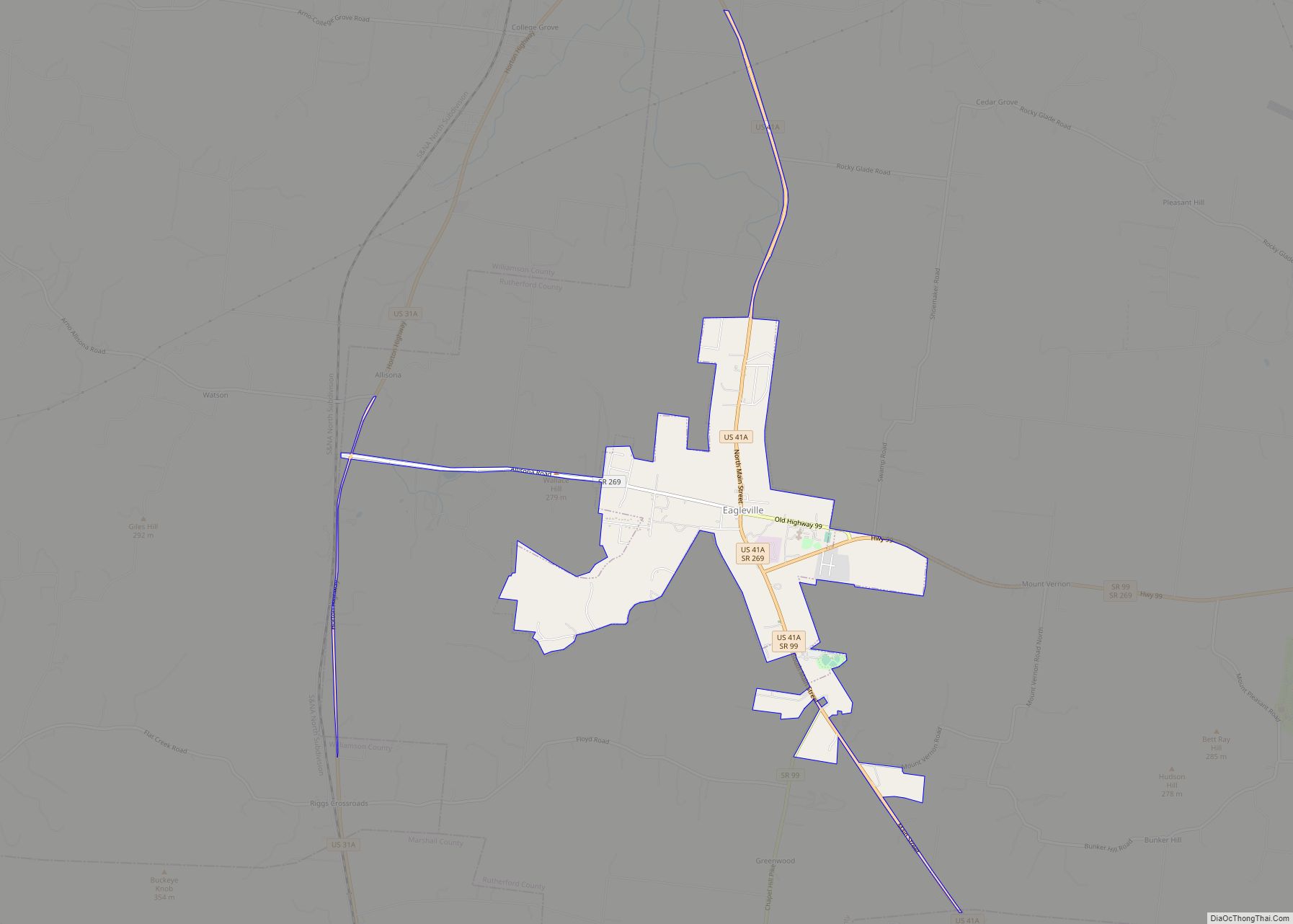
La Vergne is located in northern Rutherford County southeast of Nashville. It directly borders the Antioch neighborhood of Nashville on the northwest, Smyrna on the southeast, and Percy Priest Lake on the northeast. Interstate 24 and U.S. routes 41 and 70S pass through the community. The Percy Priest Reservoir on the Stones River lies to the north of the community.
According to the United States Census Bureau, the city has a total area of 25.1 square miles (65 km), of which 24.8 square miles (64 km) is land and 0.3 square miles (0.78 km) (1.20%) is water.
See also
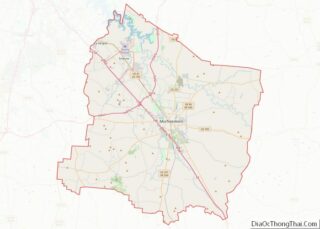
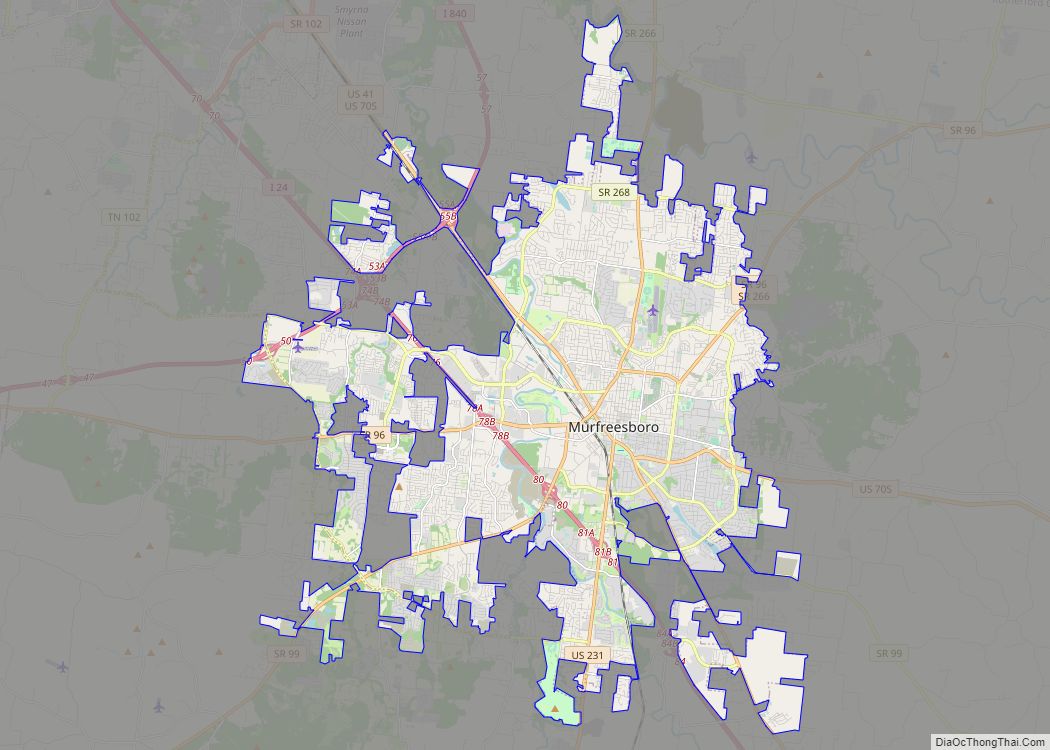
Map of Tennessee State and its subdivision:- Anderson
- Bedford
- Benton
- Bledsoe
- Blount
- Bradley
- Campbell
- Cannon
- Carroll
- Carter
- Cheatham
- Chester
- Claiborne
- Clay
- Cocke
- Coffee
- Crockett
- Cumberland
- Davidson
- Decatur
- DeKalb
- Dickson
- Dyer
- Fayette
- Fentress
- Franklin
- Gibson
- Giles
- Grainger
- Greene
- Grundy
- Hamblen
- Hamilton
- Hancock
- Hardeman
- Hardin
- Hawkins
- Haywood
- Henderson
- Henry
- Hickman
- Houston
- Humphreys
- Jackson
- Jefferson
- Johnson
- Knox
- Lake
- Lauderdale
- Lawrence
- Lewis
- Lincoln
- Loudon
- Macon
- Madison
- Marion
- Marshall
- Maury
- McMinn
- McNairy
- Meigs
- Monroe
- Montgomery
- Moore
- Morgan
- Obion
- Overton
- Perry
- Pickett
- Polk
- Putnam
- Rhea
- Roane
- Robertson
- Rutherford
- Scott
- Sequatchie
- Sevier
- Shelby
- Smith
- Stewart
- Sullivan
- Sumner
- Tipton
- Trousdale
- Unicoi
- Union
- Van Buren
- Warren
- Washington
- Wayne
- Weakley
- White
- Williamson
- Wilson
- Alabama
- Alaska
- Arizona
- Arkansas
- California
- Colorado
- Connecticut
- Delaware
- District of Columbia
- Florida
- Georgia
- Hawaii
- Idaho
- Illinois
- Indiana
- Iowa
- Kansas
- Kentucky
- Louisiana
- Maine
- Maryland
- Massachusetts
- Michigan
- Minnesota
- Mississippi
- Missouri
- Montana
- Nebraska
- Nevada
- New Hampshire
- New Jersey
- New Mexico
- New York
- North Carolina
- North Dakota
- Ohio
- Oklahoma
- Oregon
- Pennsylvania
- Rhode Island
- South Carolina
- South Dakota
- Tennessee
- Texas
- Utah
- Vermont
- Virginia
- Washington
- West Virginia
- Wisconsin
- Wyoming