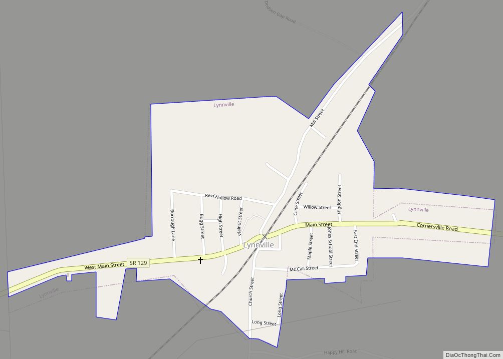
Lynnville is a town in Giles County, Tennessee. The population was 287 at the 2010 census. The name is from a local creek. Richland high school is located in Lynnville it serves the town and surrounding areas
| Name: | Lynnville town |
|---|---|
| LSAD Code: | 43 |
| LSAD Description: | town (suffix) |
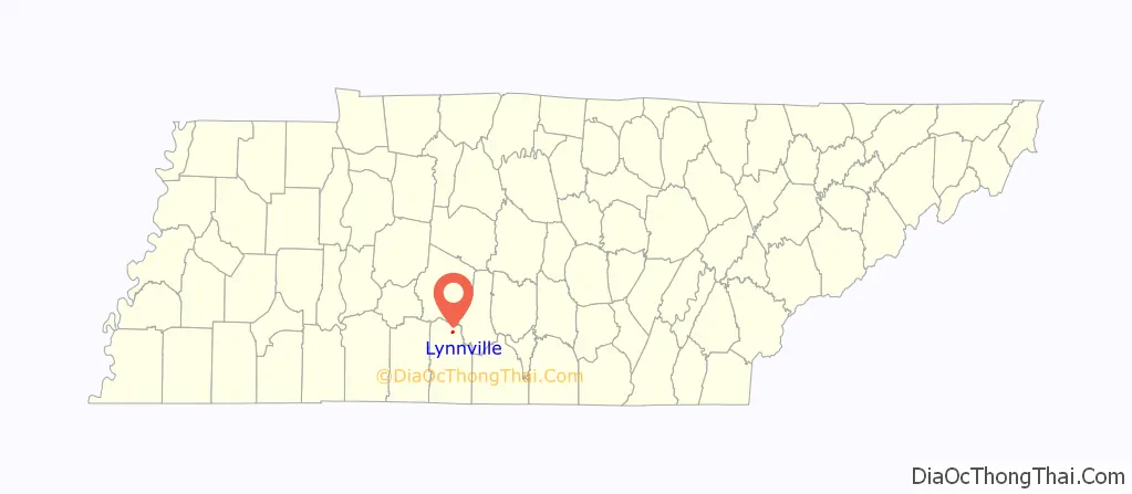
| State: | Tennessee |
| County: | Giles County |
| Elevation: | 751 ft (229 m) |
| Total Area: | 0.34 sq mi (0.88 km²) |
| Land Area: | 0.34 sq mi (0.88 km²) |
| Water Area: | 0.00 sq mi (0.00 km²) |
| Total Population: | 292 |
| Population Density: | 861.36/sq mi (332.66/km²) |
| ZIP code: | 38472 |
| Area code: | 931 |
| FIPS code: | 4744420 |
| GNISfeature ID: | 1292366 |
Online Interactive Map
Click on ![]() to view map in "full screen" mode.
to view map in "full screen" mode.
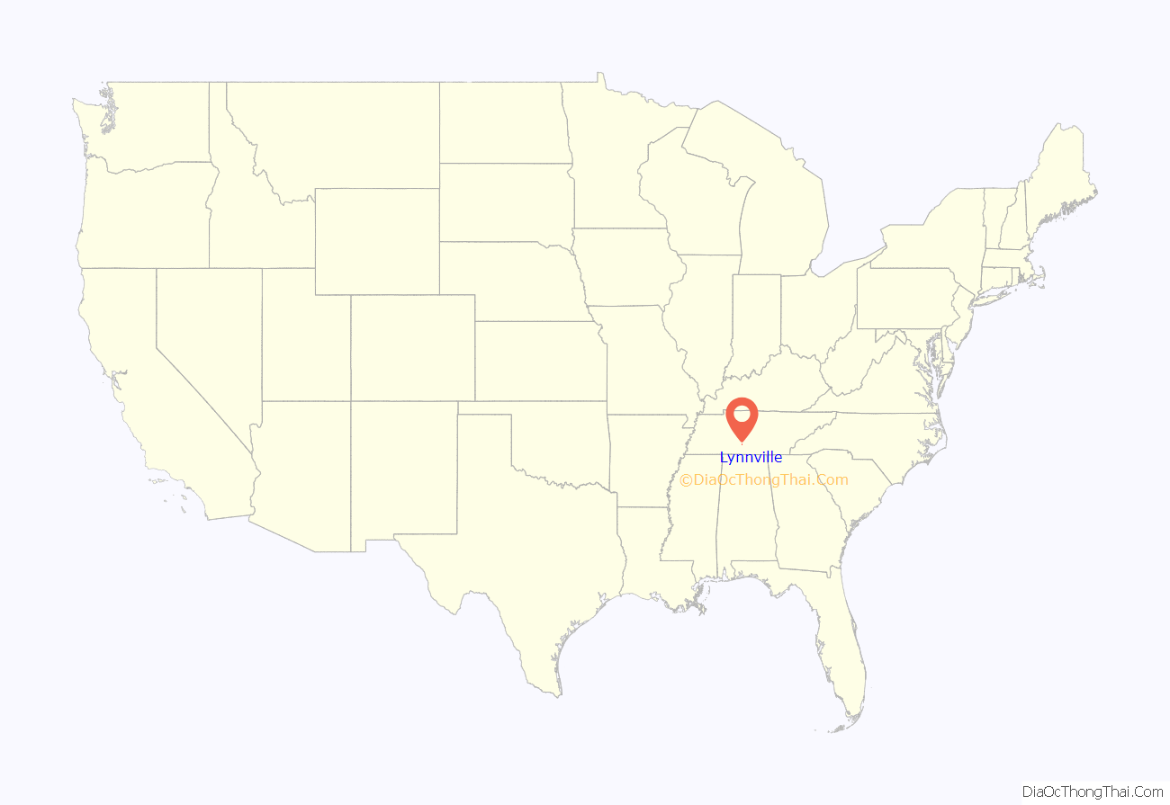
Lynnville location map. Where is Lynnville town?
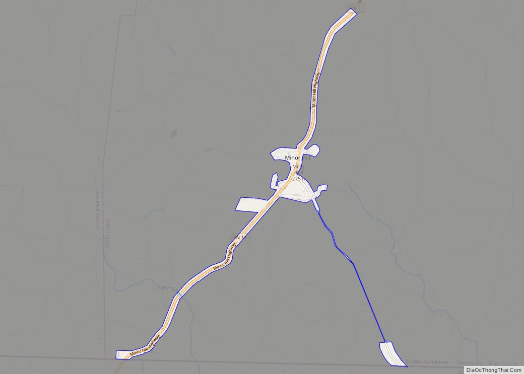
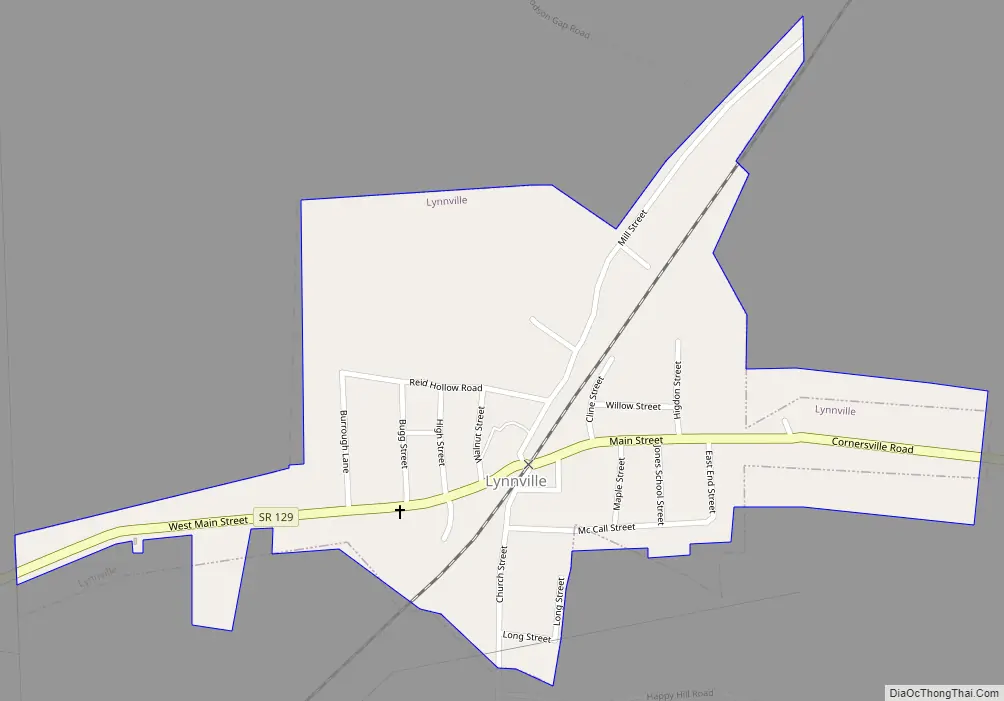
Lynnville Road Map
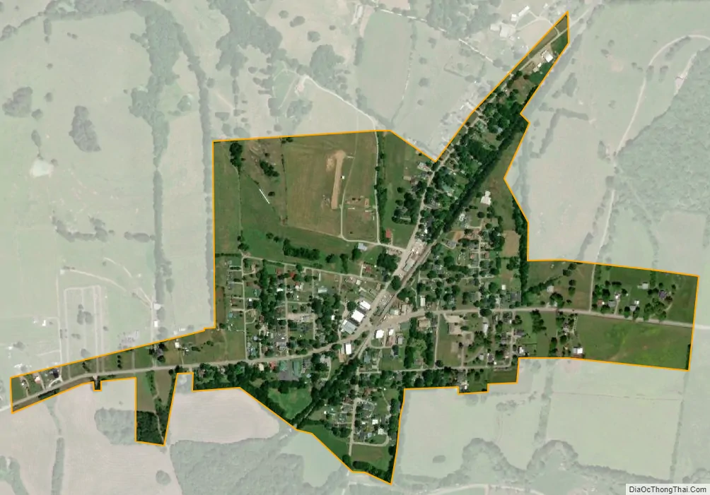
Lynnville city Satellite Map
Geography
Lynnville is located at 35°22′38″N 87°0′19″W / 35.37722°N 87.00528°W / 35.37722; -87.00528 (35.377313, -87.005306).
According to the United States Census Bureau, the town has a total area of 0.3 square miles (0.78 km), all land.
Lynnville is in the south-central part of Tennessee. It is located on State Route 129, east of U.S. Route 31.
See also
Map of Tennessee State and its subdivision:- Anderson
- Bedford
- Benton
- Bledsoe
- Blount
- Bradley
- Campbell
- Cannon
- Carroll
- Carter
- Cheatham
- Chester
- Claiborne
- Clay
- Cocke
- Coffee
- Crockett
- Cumberland
- Davidson
- Decatur
- DeKalb
- Dickson
- Dyer
- Fayette
- Fentress
- Franklin
- Gibson
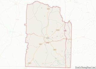
- Giles
- Grainger
- Greene
- Grundy
- Hamblen
- Hamilton
- Hancock
- Hardeman
- Hardin
- Hawkins
- Haywood
- Henderson
- Henry
- Hickman
- Houston
- Humphreys
- Jackson
- Jefferson
- Johnson
- Knox
- Lake
- Lauderdale
- Lawrence
- Lewis
- Lincoln
- Loudon
- Macon
- Madison
- Marion
- Marshall
- Maury
- McMinn
- McNairy
- Meigs
- Monroe
- Montgomery
- Moore
- Morgan
- Obion
- Overton
- Perry
- Pickett
- Polk
- Putnam
- Rhea
- Roane
- Robertson
- Rutherford
- Scott
- Sequatchie
- Sevier
- Shelby
- Smith
- Stewart
- Sullivan
- Sumner
- Tipton
- Trousdale
- Unicoi
- Union
- Van Buren
- Warren
- Washington
- Wayne
- Weakley
- White
- Williamson
- Wilson
- Alabama
- Alaska
- Arizona
- Arkansas
- California
- Colorado
- Connecticut
- Delaware
- District of Columbia
- Florida
- Georgia
- Hawaii
- Idaho
- Illinois
- Indiana
- Iowa
- Kansas
- Kentucky
- Louisiana
- Maine
- Maryland
- Massachusetts
- Michigan
- Minnesota
- Mississippi
- Missouri
- Montana
- Nebraska
- Nevada
- New Hampshire
- New Jersey
- New Mexico
- New York
- North Carolina
- North Dakota
- Ohio
- Oklahoma
- Oregon
- Pennsylvania
- Rhode Island
- South Carolina
- South Dakota
- Tennessee
- Texas
- Utah
- Vermont
- Virginia
- Washington
- West Virginia
- Wisconsin
- Wyoming