McLemoresville is a town in Carroll County, Tennessee, United States. The population was 352 at the 2010 census. It is notable primarily as the birthplace, and final resting place, of television star Dixie Carter and her husband, actor Hal Holbrook.
| Name: | McLemoresville town |
|---|---|
| LSAD Code: | 43 |
| LSAD Description: | town (suffix) |
| State: | Tennessee |
| County: | Carroll County |
| Founded: | ca. 1820 |
| Elevation: | 420 ft (130 m) |
| Total Area: | 2.21 sq mi (5.71 km²) |
| Land Area: | 2.21 sq mi (5.71 km²) |
| Water Area: | 0.00 sq mi (0.00 km²) |
| Total Population: | 288 |
| Population Density: | 130.55/sq mi (50.42/km²) |
| ZIP code: | 38235 |
| Area code: | 731 |
| FIPS code: | 4745000 |
| GNISfeature ID: | 1293406 |
| Website: | http://www.cityofmclemoresville.com/ |
Online Interactive Map
Click on ![]() to view map in "full screen" mode.
to view map in "full screen" mode.
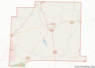
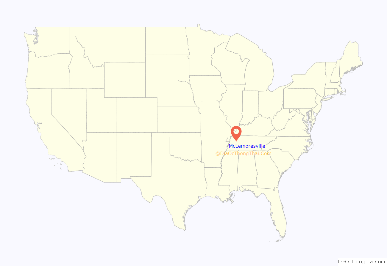
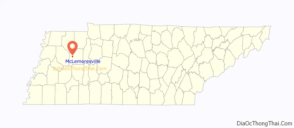
McLemoresville location map. Where is McLemoresville town?
History
McLemoresville was once, briefly in the 19th century, the county seat for Carroll County, and was the largest town in the county. Bethel College (later Bethel University), the Cumberland Presbyterian Church’s only four-year liberal arts college, began in McLemoresville, as did the denomination’s theological school. Both later relocated to McKenzie, after the railroad companies laid down tracks in the mid-19th century and did not include McLemoresville. The town then started its decline. Later, in the 1950s, the Theological School moved to Memphis, where it was renamed Memphis Theological Seminary.
The town once had, in the mid-19th century, over 11 saloons, and several schools with boarding facilities, including the McLemoresville Collegiate Institute, the McLemoresville Women’s Collegiate Institute, and others. It had several inns and restaurants.
The town’s high school burned in the 1940s or 1950s and was not replaced. The school continued to educate children through the eighth grade. A new building was erected around 1958, and this building, with additions and modifications, now houses the grades K-2 for West Carroll School District.
The old McLemoresville Elementary School, which included a junior high school, participated in basketball and band. It was particularly successful in band and boys’ basketball in the mid-to-late 1960s, winning county tournaments and band competitions around West Tennessee and the state. The school held annual beauty pageants for girls, had a very active Parents-Teachers Association, and the school partially integrated in 1965 and fully in 1966 (both without event) with the closure of the old MTA School for African-American students. It was also known as Carrollton.
The town is called “McLey” (pronounced “MACK Lee”) by local residents.
McLemoresville,”McLey” was the beloved home of Dixie Carter from her earliest memories until her final rest. Working with noted architect Hoyte Johnson, she helped to evolve her home-place into a comfortable venue to share with her family, her friends, and nearby Huntingdon College. Her husband, Hal Holbrook referred to the home as having “feel” of the Mark Twain House in Hartford, Connecticut, and that there is no other place to which he feels so ideally suited. Besides the grand “Music Room” addition, the house is surrounded with the talented works of her mother, Virginia (Ginna) who built the expert masonry fireplaces and mantels in the older parts of the house, as well as the wooden guest house beneath the ancient catalpa trees in the back yard. Her father, Halbert Carter (Hal) remains forever present in the books that line the back room walls and the tapestry of tales told by a once great haberdasher.
Mayor Phil Williams has been holding his seat for 44 years, making him the longest serving mayor in Tennessee history.
The city holds a rental space for events called the McLemorseville Activities Center, commonly known as the “MAC”.
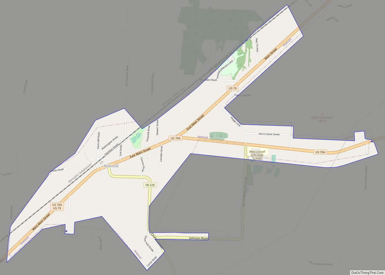
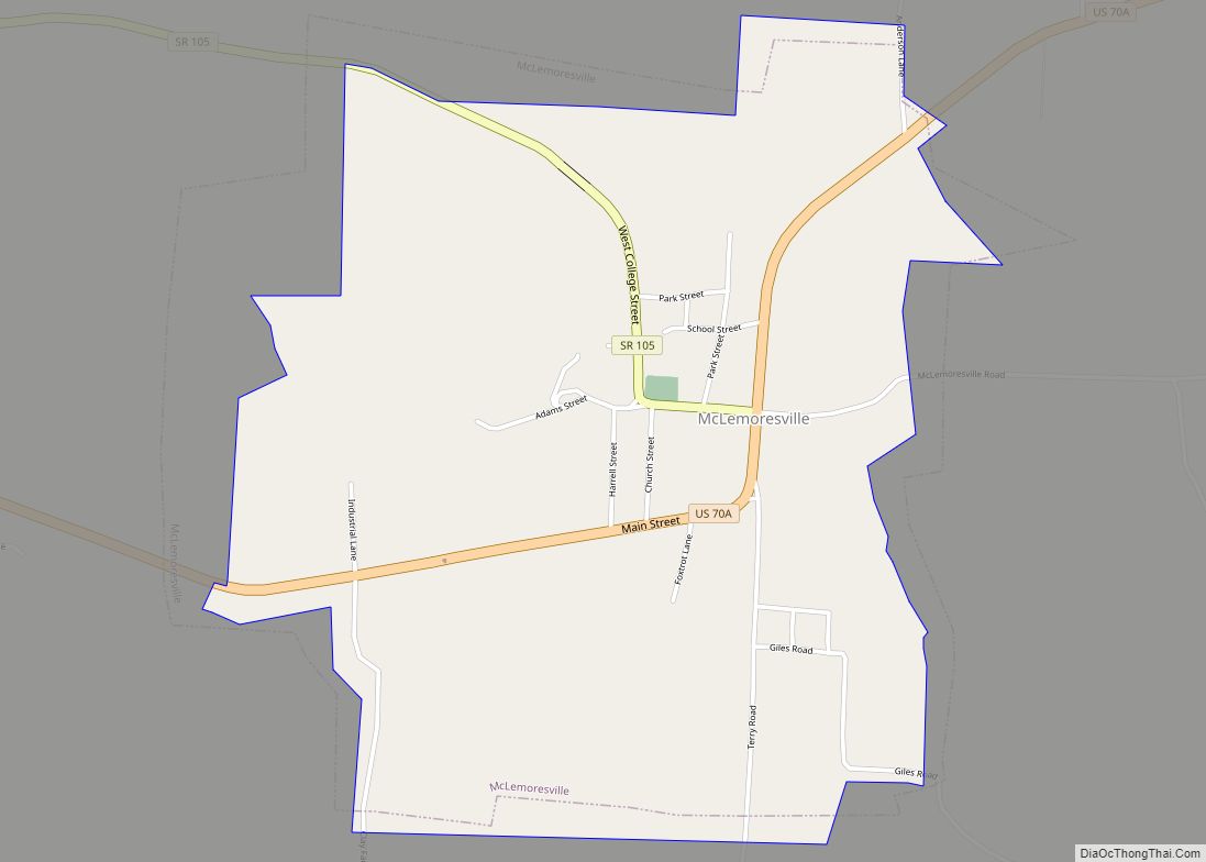
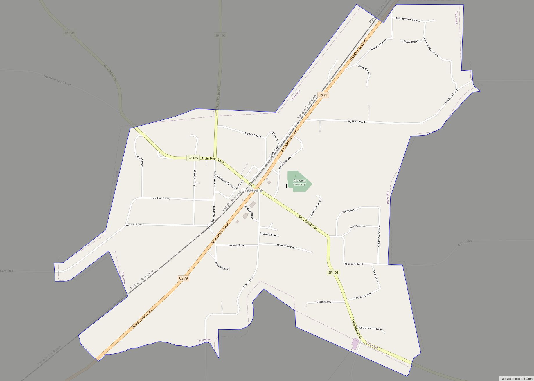
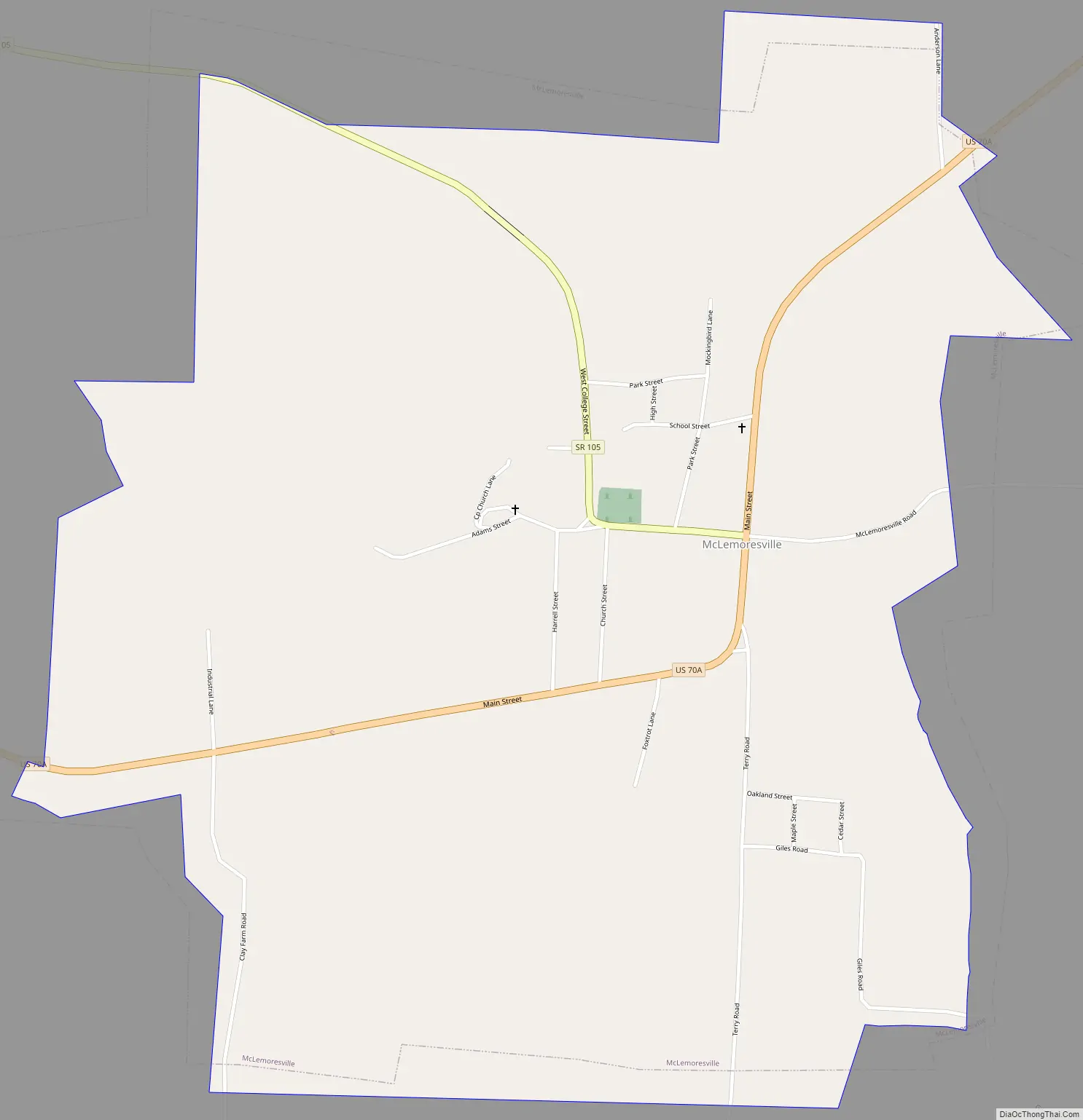
McLemoresville Road Map
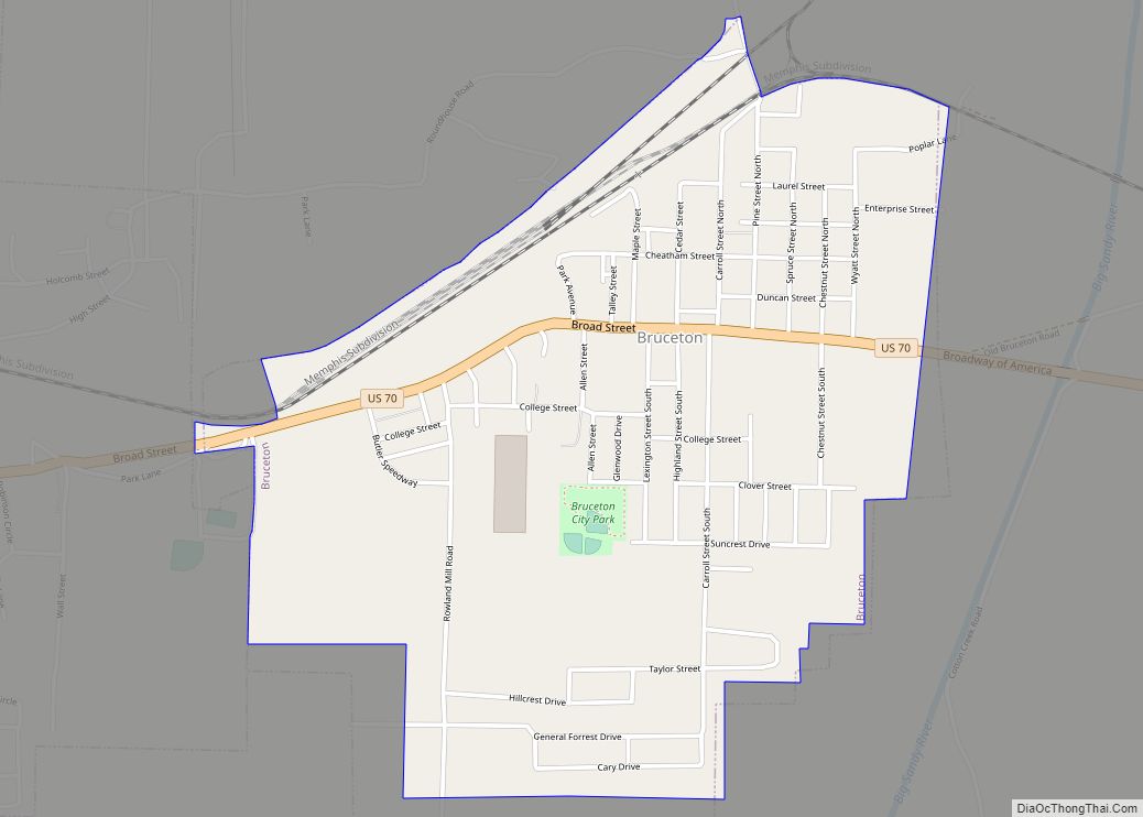
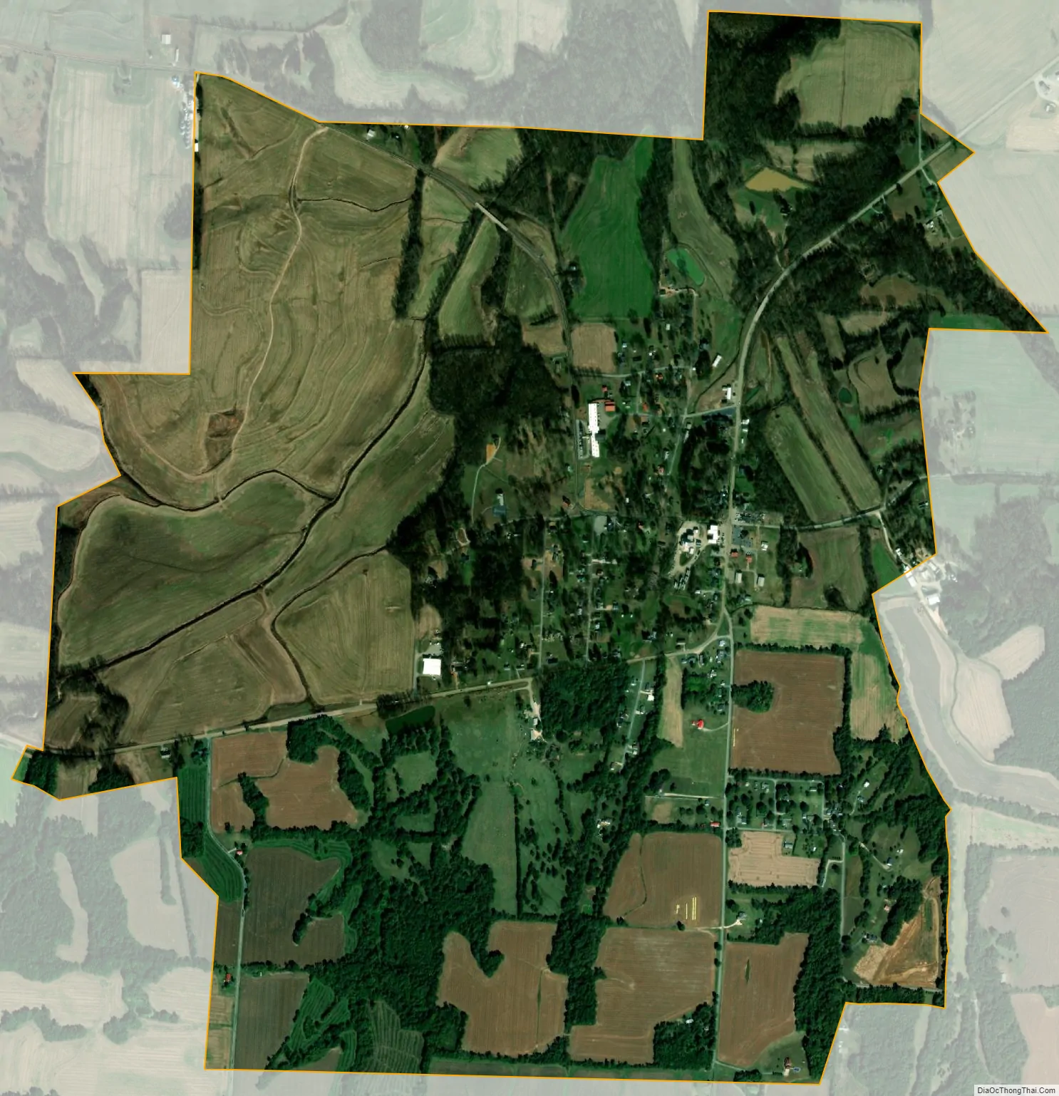
McLemoresville city Satellite Map
Geography
McLemoresville is located in western Carroll County at 35°59′15″N 88°34′39″W / 35.98750°N 88.57750°W / 35.98750; -88.57750 (35.987380, -88.577368).
According to the United States Census Bureau, the town has a total area of 2.6 square miles (6.7 km), all land.
McLemoresville is located at the intersection of U.S. Route 70A (Main Street/State Route 77) and State Route 105 (W College Street).
See also
Map of Tennessee State and its subdivision:- Anderson
- Bedford
- Benton
- Bledsoe
- Blount
- Bradley
- Campbell
- Cannon
- Carroll
- Carter
- Cheatham
- Chester
- Claiborne
- Clay
- Cocke
- Coffee
- Crockett
- Cumberland
- Davidson
- Decatur
- DeKalb
- Dickson
- Dyer
- Fayette
- Fentress
- Franklin
- Gibson
- Giles
- Grainger
- Greene
- Grundy
- Hamblen
- Hamilton
- Hancock
- Hardeman
- Hardin
- Hawkins
- Haywood
- Henderson
- Henry
- Hickman
- Houston
- Humphreys
- Jackson
- Jefferson
- Johnson
- Knox
- Lake
- Lauderdale
- Lawrence
- Lewis
- Lincoln
- Loudon
- Macon
- Madison
- Marion
- Marshall
- Maury
- McMinn
- McNairy
- Meigs
- Monroe
- Montgomery
- Moore
- Morgan
- Obion
- Overton
- Perry
- Pickett
- Polk
- Putnam
- Rhea
- Roane
- Robertson
- Rutherford
- Scott
- Sequatchie
- Sevier
- Shelby
- Smith
- Stewart
- Sullivan
- Sumner
- Tipton
- Trousdale
- Unicoi
- Union
- Van Buren
- Warren
- Washington
- Wayne
- Weakley
- White
- Williamson
- Wilson
- Alabama
- Alaska
- Arizona
- Arkansas
- California
- Colorado
- Connecticut
- Delaware
- District of Columbia
- Florida
- Georgia
- Hawaii
- Idaho
- Illinois
- Indiana
- Iowa
- Kansas
- Kentucky
- Louisiana
- Maine
- Maryland
- Massachusetts
- Michigan
- Minnesota
- Mississippi
- Missouri
- Montana
- Nebraska
- Nevada
- New Hampshire
- New Jersey
- New Mexico
- New York
- North Carolina
- North Dakota
- Ohio
- Oklahoma
- Oregon
- Pennsylvania
- Rhode Island
- South Carolina
- South Dakota
- Tennessee
- Texas
- Utah
- Vermont
- Virginia
- Washington
- West Virginia
- Wisconsin
- Wyoming