Medon is a city in Madison County, Tennessee. It is included in the Jackson, Tennessee Metropolitan Statistical Area. The population was 178 at the 2010 census.
| Name: | Medon city |
|---|---|
| LSAD Code: | 25 |
| LSAD Description: | city (suffix) |
| State: | Tennessee |
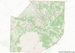
| County: | Madison County |
| Elevation: | 466 ft (142 m) |
| Total Area: | 1.00 sq mi (2.58 km²) |
| Land Area: | 0.99 sq mi (2.57 km²) |
| Water Area: | 0.00 sq mi (0.01 km²) |
| Total Population: | 189 |
| Population Density: | 190.33/sq mi (73.49/km²) |
| ZIP code: | 38356 |
| Area code: | 731 |
| FIPS code: | 4747020 |
| GNISfeature ID: | 1293534 |
Online Interactive Map
Click on ![]() to view map in "full screen" mode.
to view map in "full screen" mode.
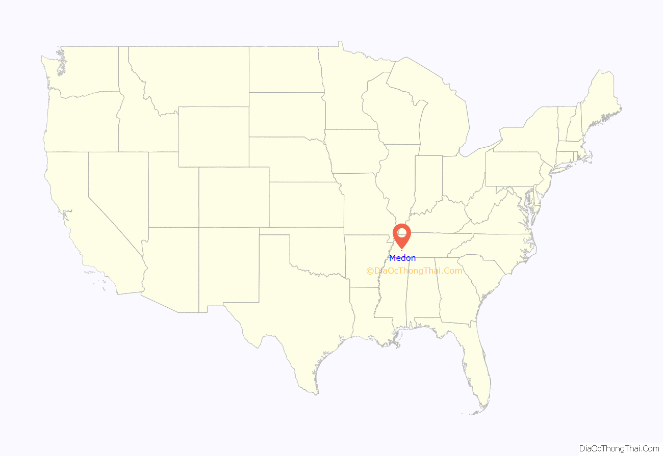
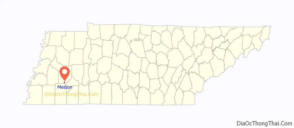
Medon location map. Where is Medon city?
History
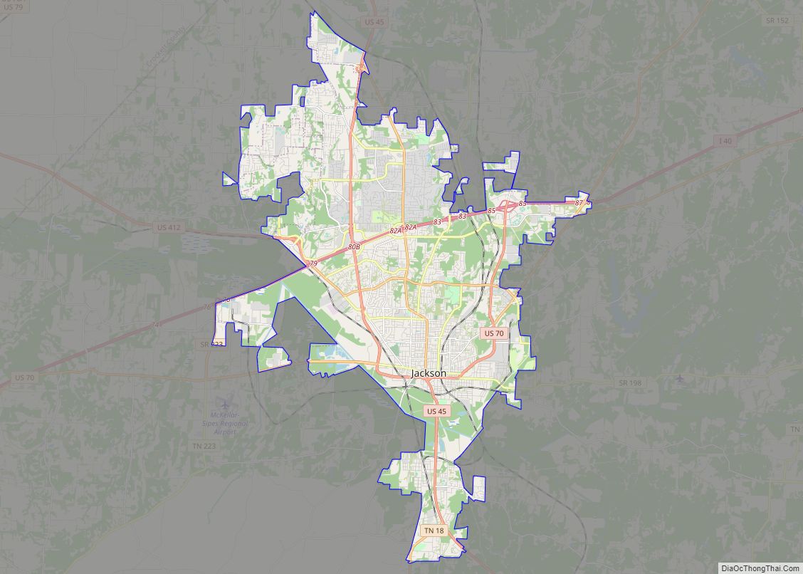
By 1886, about three hundred people were living in the area of Medon, which was formed along the Illinois Central Railroad ten miles south of Jackson; a high school had been incorporated there in 1881 and the area was surrounded by a rich agricultural community. The school was incorporated into South Side High School in 1956.
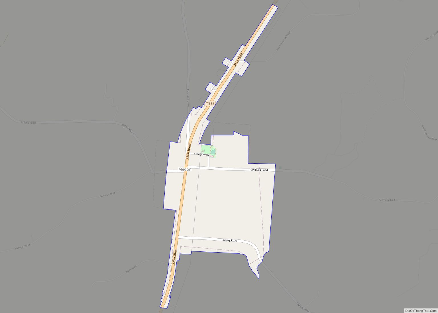
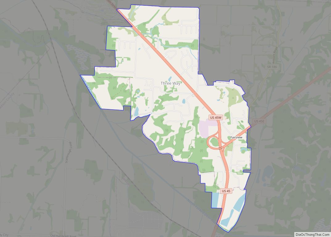
Medon Road Map
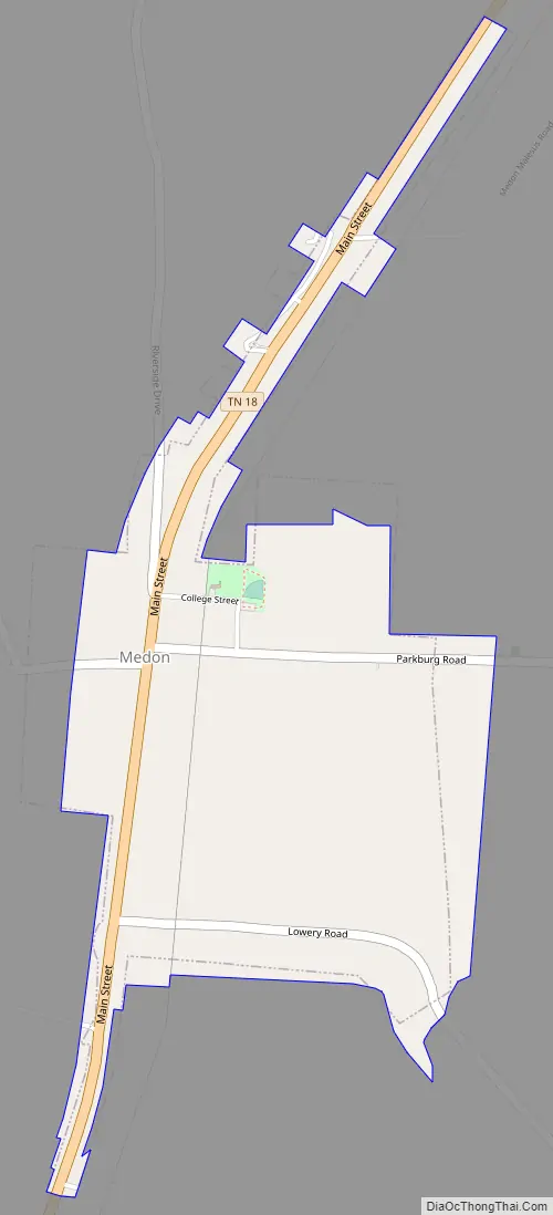
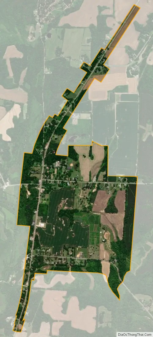
Medon city Satellite Map
Geography
Medon is located on State Route 18 between Jackson and Bolivar, north of Chickasaw State Park and north-northwest of Deanburg, at 35°27′31″N 88°52′02″W / 35.458622°N 88.867284°W / 35.458622; -88.867284.
See also
Map of Tennessee State and its subdivision:- Anderson
- Bedford
- Benton
- Bledsoe
- Blount
- Bradley
- Campbell
- Cannon
- Carroll
- Carter
- Cheatham
- Chester
- Claiborne
- Clay
- Cocke
- Coffee
- Crockett
- Cumberland
- Davidson
- Decatur
- DeKalb
- Dickson
- Dyer
- Fayette
- Fentress
- Franklin
- Gibson
- Giles
- Grainger
- Greene
- Grundy
- Hamblen
- Hamilton
- Hancock
- Hardeman
- Hardin
- Hawkins
- Haywood
- Henderson
- Henry
- Hickman
- Houston
- Humphreys
- Jackson
- Jefferson
- Johnson
- Knox
- Lake
- Lauderdale
- Lawrence
- Lewis
- Lincoln
- Loudon
- Macon
- Madison
- Marion
- Marshall
- Maury
- McMinn
- McNairy
- Meigs
- Monroe
- Montgomery
- Moore
- Morgan
- Obion
- Overton
- Perry
- Pickett
- Polk
- Putnam
- Rhea
- Roane
- Robertson
- Rutherford
- Scott
- Sequatchie
- Sevier
- Shelby
- Smith
- Stewart
- Sullivan
- Sumner
- Tipton
- Trousdale
- Unicoi
- Union
- Van Buren
- Warren
- Washington
- Wayne
- Weakley
- White
- Williamson
- Wilson
- Alabama
- Alaska
- Arizona
- Arkansas
- California
- Colorado
- Connecticut
- Delaware
- District of Columbia
- Florida
- Georgia
- Hawaii
- Idaho
- Illinois
- Indiana
- Iowa
- Kansas
- Kentucky
- Louisiana
- Maine
- Maryland
- Massachusetts
- Michigan
- Minnesota
- Mississippi
- Missouri
- Montana
- Nebraska
- Nevada
- New Hampshire
- New Jersey
- New Mexico
- New York
- North Carolina
- North Dakota
- Ohio
- Oklahoma
- Oregon
- Pennsylvania
- Rhode Island
- South Carolina
- South Dakota
- Tennessee
- Texas
- Utah
- Vermont
- Virginia
- Washington
- West Virginia
- Wisconsin
- Wyoming