Millington is a city in Shelby County, Tennessee, United States, and is a part of the Memphis metropolitan area. As of the 2010 census, it had a population of 10,176. Millington was granted the title “Flag City Tennessee” by the Tennessee State Legislature. The Naval Support Activity Mid-South is located at the former Memphis Naval Air Station, whose function was changed in 1993 from a training base to an administrative one. There is also a general aviation airport that features the third longest runway in Tennessee.
| Name: | Millington city |
|---|---|
| LSAD Code: | 25 |
| LSAD Description: | city (suffix) |
| State: | Tennessee |
| County: | Shelby County |
| Elevation: | 262 ft (80 m) |
| Total Area: | 22.42 sq mi (58.07 km²) |
| Land Area: | 22.41 sq mi (58.03 km²) |
| Water Area: | 0.02 sq mi (0.04 km²) |
| Total Population: | 10,582 |
| Population Density: | 472.31/sq mi (182.36/km²) |
| Area code: | 901 |
| FIPS code: | 4749060 |
| GNISfeature ID: | 1293985 |
| Website: | www.millingtontn.gov |
Online Interactive Map
Click on ![]() to view map in "full screen" mode.
to view map in "full screen" mode.
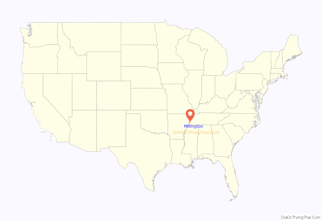
Millington location map. Where is Millington city?
History
The book Millington, the First Hundred Years by Faye Ellis Osteen (compiled of many stories that can not be proven fact or fictions, relies on individual witnesses and stories handed down by local families) and published by the Millington Centennial Committee outlines the history of Millington from its beginnings to the present. In 1878, Mr. and Mrs. George Millington donated a large area of land to a group of settlers for the purpose of starting a town.Mr. Millington requested that the new town be named in his honor. In 1888, the First Baptist Church was founded.It has over 5000 members. Its church is one of the largest buildings in Millington. In 1890, the first industry came to town. Since that time, job growth has been sporadic and unfocused. Millington was officially chartered by the State of Tennessee in 1903. In 1917 the US military began its initial presence in Millington. Park Field was established as a pilot training facility. With the conclusion of World War I in 1918, military pilot training ceased. It was not until 1942, with the outbreak of World War II that the military would renew its interest in Millington. In 1928 Millington Telephone was established.This business brought modern communications to Millington and the surrounding region. At the outset of World War II the US Navy established the current airport as a training facility for Navy pilots. Consistently for many decades over 15,000 military personnel were assigned to Millington. The Navy brought prosperity to the community on an ongoing basis. In the 1980s the Base Realignment and Closure Commission began the process of downsizing the Millington Navy facility. Flight training was moved out of Millington. However, all US Navy personnel functions were relocated to the community. At present the military and associated private contracting creates a $335 million annual economic benefit to the region. In 1986 USA Stadium was developed by Mr. W. S. “Babe” Howard. This sporting facility brought recognition to Millington. International baseball was played here. The Stadium continues to be an economic asset for the community. In 1993 the Millington Regional Jetport was opened as a general aviation airport. It currently is the backup airport for Federal Express(FedEx).
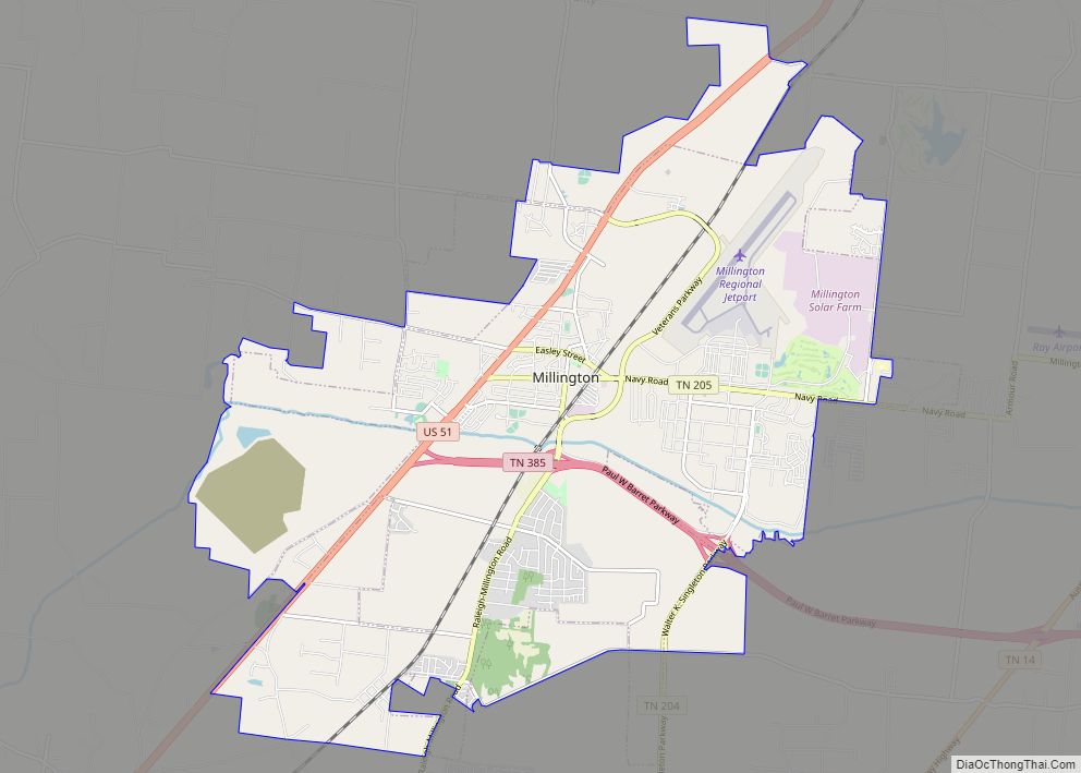
Millington Road Map
Millington city Satellite Map
Geography
Millington is at 35°20′12″N 89°54′8″W / 35.33667°N 89.90222°W / 35.33667; -89.90222 (35.336566, -89.902132).
According to the United States Census Bureau, the city has a total area of 15.6 square miles (40 km), of which 0.04 square miles (0.10 km), or 0.13%, is water.
The city is located in the Memphis Metropolitan Area, about 9 miles (14 km) north of Memphis. The metropolitan area of Memphis has a population of approximately 1.2 million people. Millington is close to the Meeman-Shelby Forest State Park, Fort Pillow State Park, and the Mississippi River.
See also
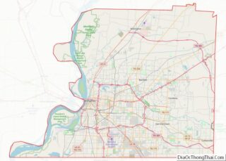
Map of Tennessee State and its subdivision:- Anderson
- Bedford
- Benton
- Bledsoe
- Blount
- Bradley
- Campbell
- Cannon
- Carroll
- Carter
- Cheatham
- Chester
- Claiborne
- Clay
- Cocke
- Coffee
- Crockett
- Cumberland
- Davidson
- Decatur
- DeKalb
- Dickson
- Dyer
- Fayette
- Fentress
- Franklin
- Gibson
- Giles
- Grainger
- Greene
- Grundy
- Hamblen
- Hamilton
- Hancock
- Hardeman
- Hardin
- Hawkins
- Haywood
- Henderson
- Henry
- Hickman
- Houston
- Humphreys
- Jackson
- Jefferson
- Johnson
- Knox
- Lake
- Lauderdale
- Lawrence
- Lewis
- Lincoln
- Loudon
- Macon
- Madison
- Marion
- Marshall
- Maury
- McMinn
- McNairy
- Meigs
- Monroe
- Montgomery
- Moore
- Morgan
- Obion
- Overton
- Perry
- Pickett
- Polk
- Putnam
- Rhea
- Roane
- Robertson
- Rutherford
- Scott
- Sequatchie
- Sevier
- Shelby
- Smith
- Stewart
- Sullivan
- Sumner
- Tipton
- Trousdale
- Unicoi
- Union
- Van Buren
- Warren
- Washington
- Wayne
- Weakley
- White
- Williamson
- Wilson
- Alabama
- Alaska
- Arizona
- Arkansas
- California
- Colorado
- Connecticut
- Delaware
- District of Columbia
- Florida
- Georgia
- Hawaii
- Idaho
- Illinois
- Indiana
- Iowa
- Kansas
- Kentucky
- Louisiana
- Maine
- Maryland
- Massachusetts
- Michigan
- Minnesota
- Mississippi
- Missouri
- Montana
- Nebraska
- Nevada
- New Hampshire
- New Jersey
- New Mexico
- New York
- North Carolina
- North Dakota
- Ohio
- Oklahoma
- Oregon
- Pennsylvania
- Rhode Island
- South Carolina
- South Dakota
- Tennessee
- Texas
- Utah
- Vermont
- Virginia
- Washington
- West Virginia
- Wisconsin
- Wyoming
