Rossville is a town in Fayette County, Tennessee, United States. The population was 664 at the 2010 census, up from 380 at the 2000 census.
| Name: | Rossville town |
|---|---|
| LSAD Code: | 43 |
| LSAD Description: | town (suffix) |
| State: | Tennessee |
| County: | Fayette County |
| Elevation: | 312 ft (95 m) |
| Total Area: | 5.51 sq mi (14.27 km²) |
| Land Area: | 5.45 sq mi (14.12 km²) |
| Water Area: | 0.06 sq mi (0.15 km²) |
| Total Population: | 1,041 |
| Population Density: | 191.01/sq mi (73.74/km²) |
| ZIP code: | 38066 |
| Area code: | 901 |
| FIPS code: | 4765240 |
| GNISfeature ID: | 1300138 |
| Website: | www.townofrossville.com |
Online Interactive Map
Click on ![]() to view map in "full screen" mode.
to view map in "full screen" mode.
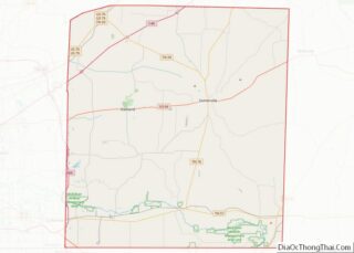
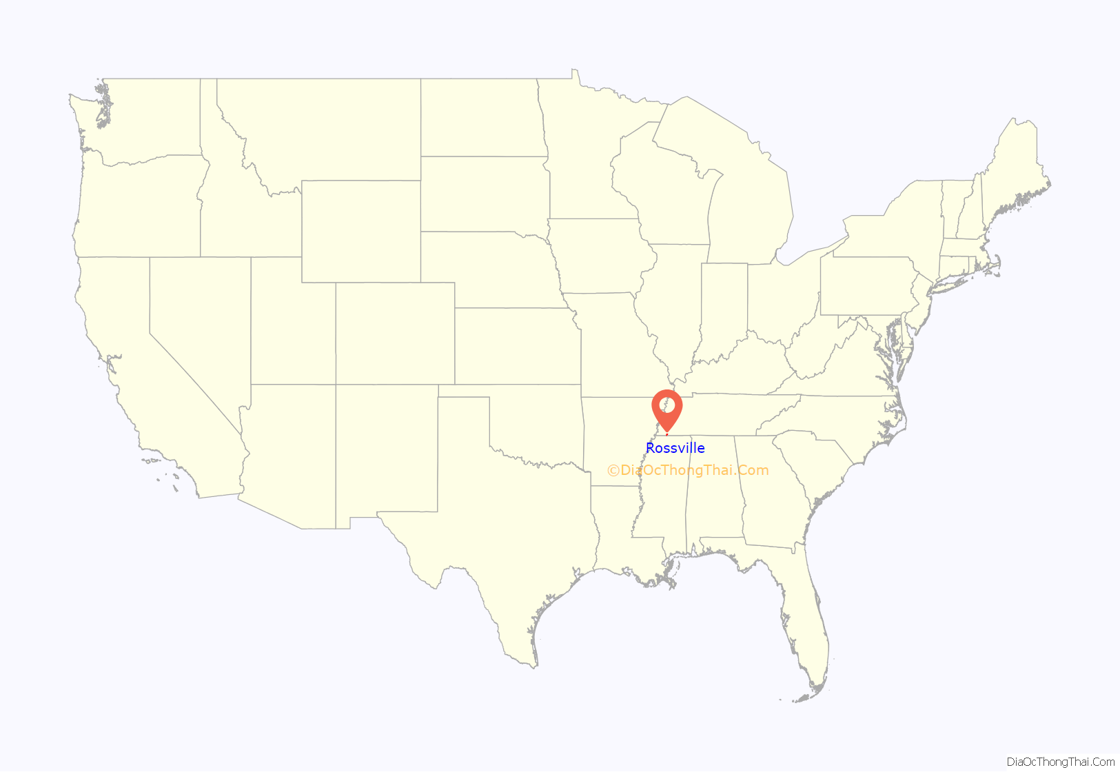
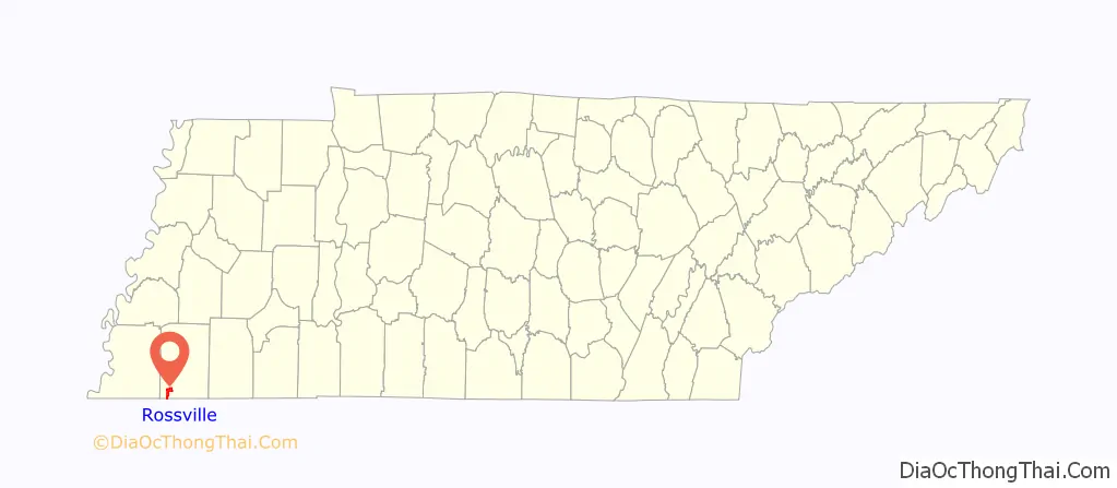
Rossville location map. Where is Rossville town?
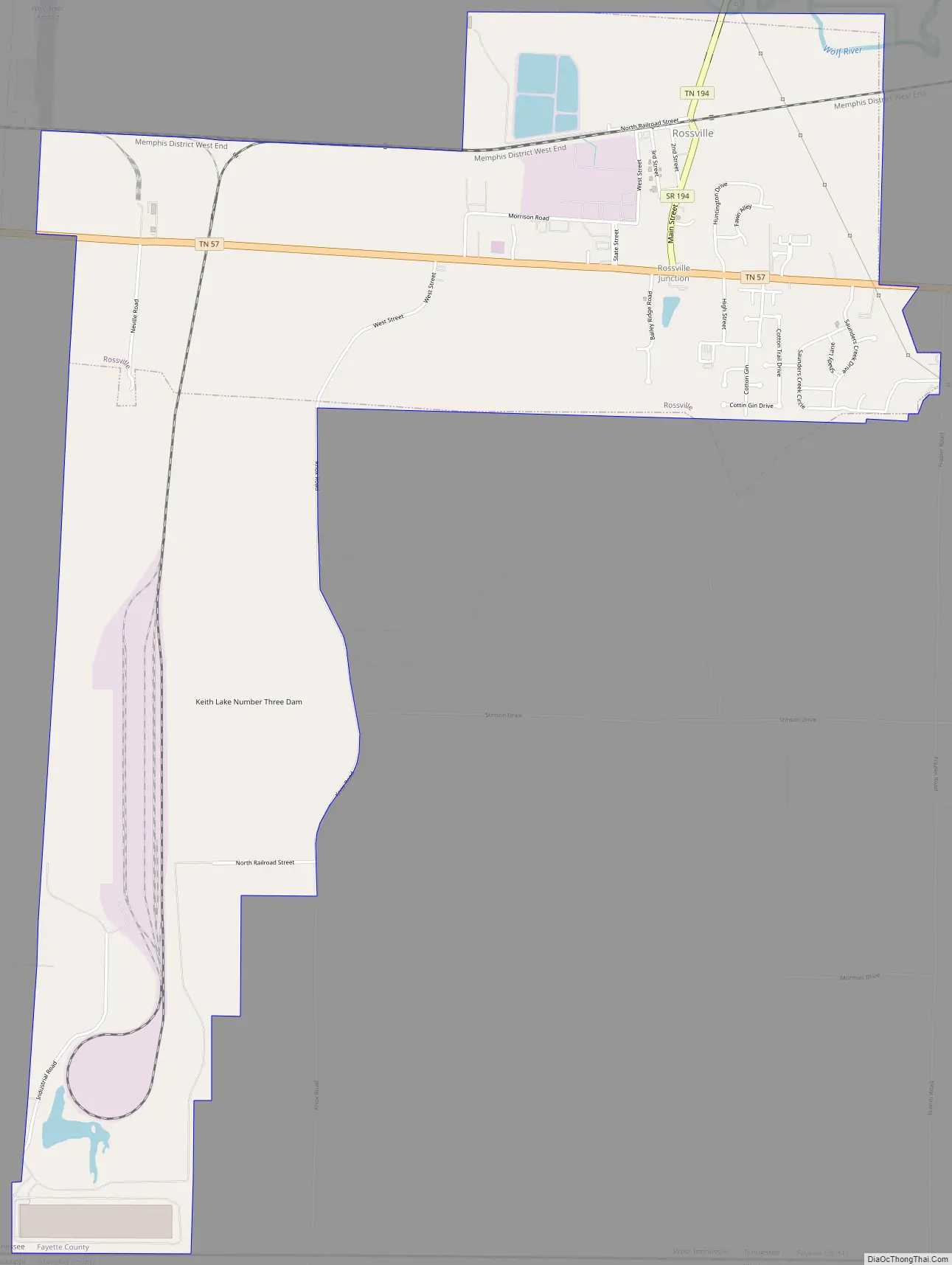
Rossville Road Map
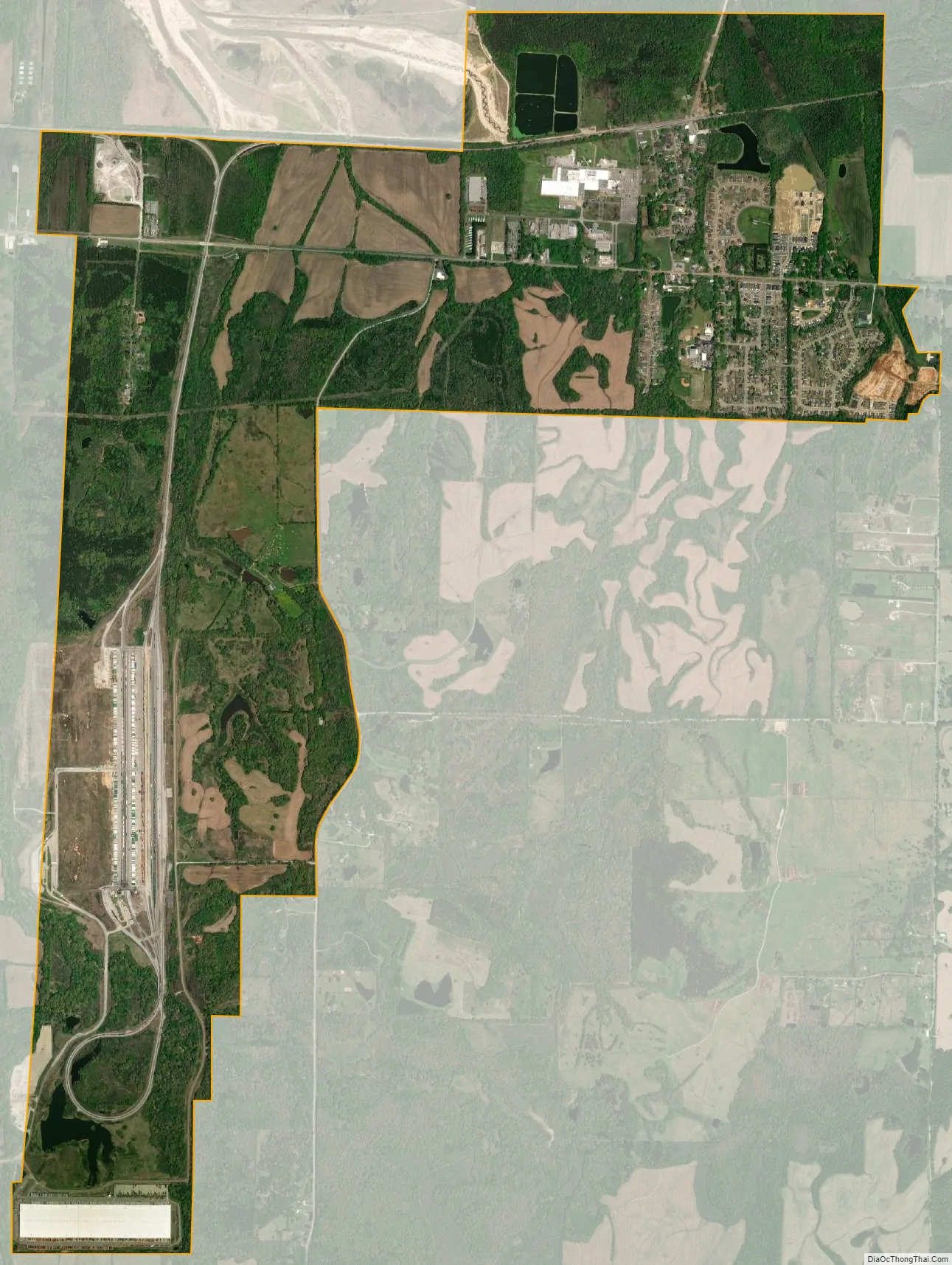
Rossville city Satellite Map
Geography
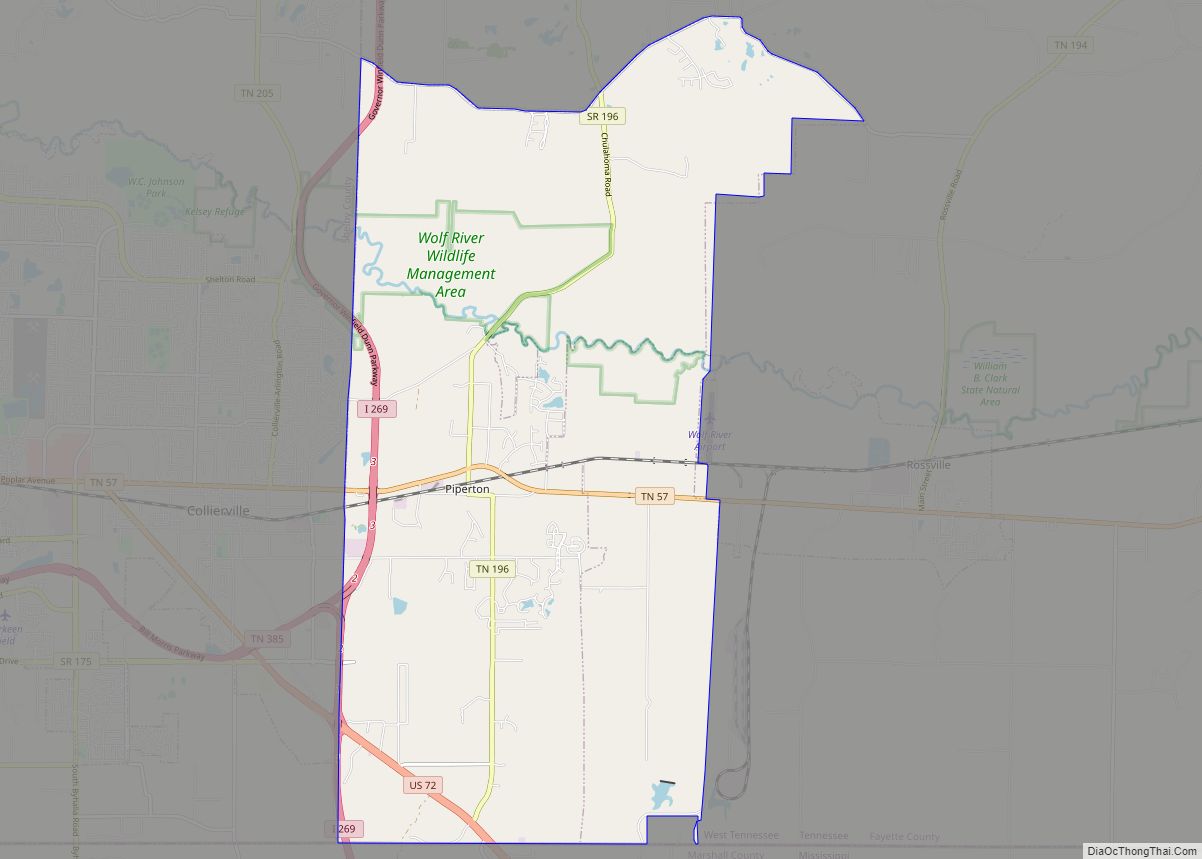
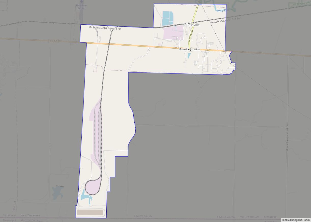
Rossville is located in southwestern Fayette County at 35°2′38″N 89°32′35″W / 35.04389°N 89.54306°W / 35.04389; -89.54306 (35.043935, -89.542931). It is bordered to the west by the city of Piperton and to the south by Marshall County, Mississippi.
According to the United States Census Bureau, the town has a total area of 1.8 square miles (4.7 km), of which 1.7 square miles (4.4 km) is land and 0.1 square miles (0.26 km) (2.82%) is water. The Wolf River, a tributary of the Mississippi River, flows to the west along the northern edge of the town.
Major thoroughfares
- State Route 57 is the main highway through the town, leading east 8 miles (13 km) to Moscow and west through Piperton 7 miles (11 km) to Collierville. Downtown Memphis is 30 miles (48 km) to the west.
- State Route 194 (Main Street) runs north from TN 57 through the oldest part of Rossville, then leads north 15 miles (24 km) to Oakland.
Rossville sits along the Norfolk Southern Railway. A new intermodal facility has been built southwest of the town and opened in 2012.
See also
Map of Tennessee State and its subdivision:- Anderson
- Bedford
- Benton
- Bledsoe
- Blount
- Bradley
- Campbell
- Cannon
- Carroll
- Carter
- Cheatham
- Chester
- Claiborne
- Clay
- Cocke
- Coffee
- Crockett
- Cumberland
- Davidson
- Decatur
- DeKalb
- Dickson
- Dyer
- Fayette
- Fentress
- Franklin
- Gibson
- Giles
- Grainger
- Greene
- Grundy
- Hamblen
- Hamilton
- Hancock
- Hardeman
- Hardin
- Hawkins
- Haywood
- Henderson
- Henry
- Hickman
- Houston
- Humphreys
- Jackson
- Jefferson
- Johnson
- Knox
- Lake
- Lauderdale
- Lawrence
- Lewis
- Lincoln
- Loudon
- Macon
- Madison
- Marion
- Marshall
- Maury
- McMinn
- McNairy
- Meigs
- Monroe
- Montgomery
- Moore
- Morgan
- Obion
- Overton
- Perry
- Pickett
- Polk
- Putnam
- Rhea
- Roane
- Robertson
- Rutherford
- Scott
- Sequatchie
- Sevier
- Shelby
- Smith
- Stewart
- Sullivan
- Sumner
- Tipton
- Trousdale
- Unicoi
- Union
- Van Buren
- Warren
- Washington
- Wayne
- Weakley
- White
- Williamson
- Wilson
- Alabama
- Alaska
- Arizona
- Arkansas
- California
- Colorado
- Connecticut
- Delaware
- District of Columbia
- Florida
- Georgia
- Hawaii
- Idaho
- Illinois
- Indiana
- Iowa
- Kansas
- Kentucky
- Louisiana
- Maine
- Maryland
- Massachusetts
- Michigan
- Minnesota
- Mississippi
- Missouri
- Montana
- Nebraska
- Nevada
- New Hampshire
- New Jersey
- New Mexico
- New York
- North Carolina
- North Dakota
- Ohio
- Oklahoma
- Oregon
- Pennsylvania
- Rhode Island
- South Carolina
- South Dakota
- Tennessee
- Texas
- Utah
- Vermont
- Virginia
- Washington
- West Virginia
- Wisconsin
- Wyoming