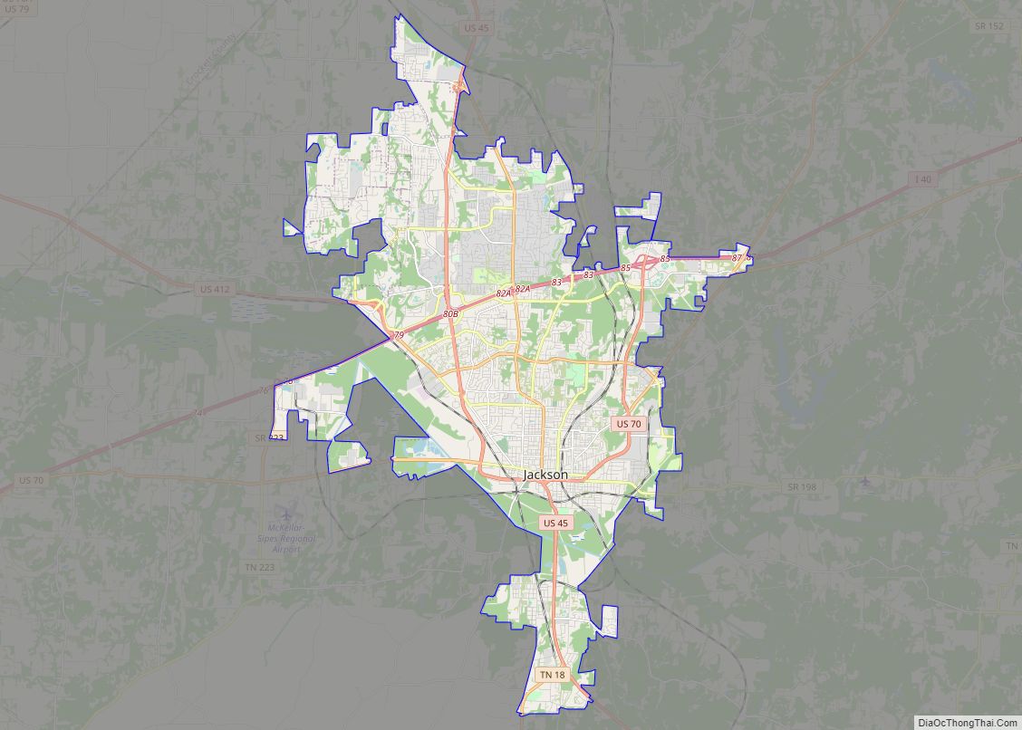
Three Way is a city in Madison County, Tennessee. The population was 1,709 at the 2010 census. It is included in the Jackson, Tennessee Metropolitan Statistical Area.
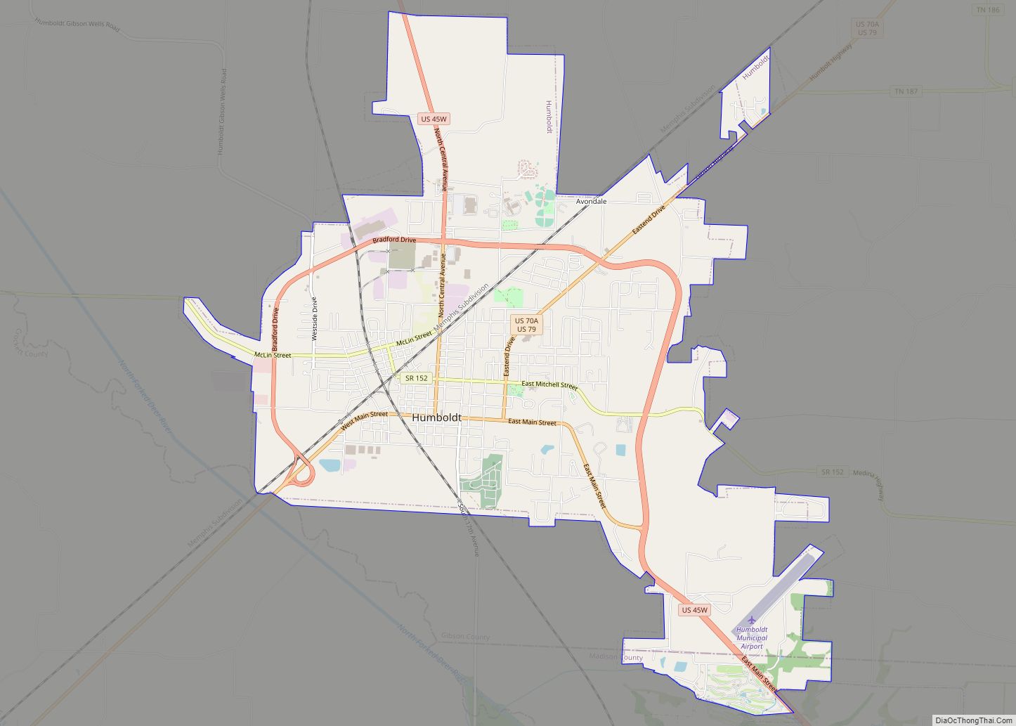
Before the city was officially incorporated in 1998, the area was commonly known as “Three Way” for a number of years because of the split by U.S. Route 45 along its north–south route into US 45W towards Humboldt and US 45E towards Milan.
| Name: | Three Way city |
|---|---|
| LSAD Code: | 25 |
| LSAD Description: | city (suffix) |
| State: | Tennessee |
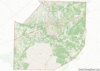
| County: | Madison County |
| Incorporated: | 1998 |
| Elevation: | 433 ft (132 m) |
| Total Area: | 4.49 sq mi (11.63 km²) |
| Land Area: | 4.49 sq mi (11.63 km²) |
| Water Area: | 0.00 sq mi (0.00 km²) |
| Total Population: | 1,877 |
| Population Density: | 417.95/sq mi (161.37/km²) |
| ZIP code: | 38343 |
| Area code: | 731 |
| FIPS code: | 4774100 |
| GNISfeature ID: | 1848108 |
| Website: | cityofthreeway.org |
Online Interactive Map
Click on ![]() to view map in "full screen" mode.
to view map in "full screen" mode.
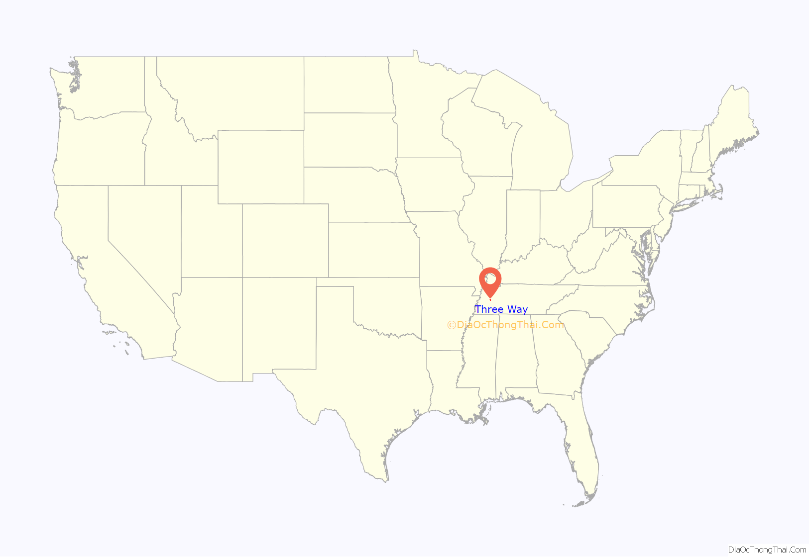
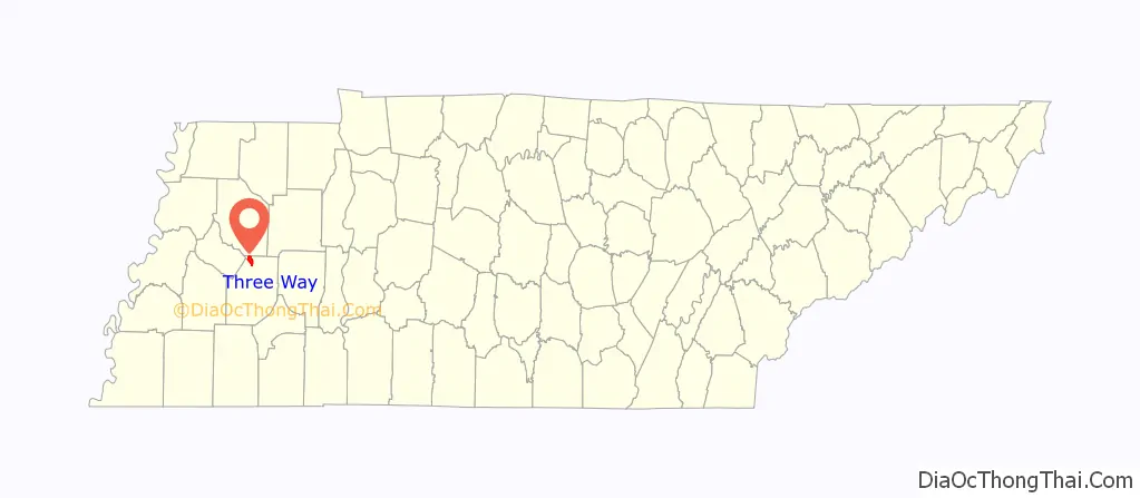
Three Way location map. Where is Three Way city?
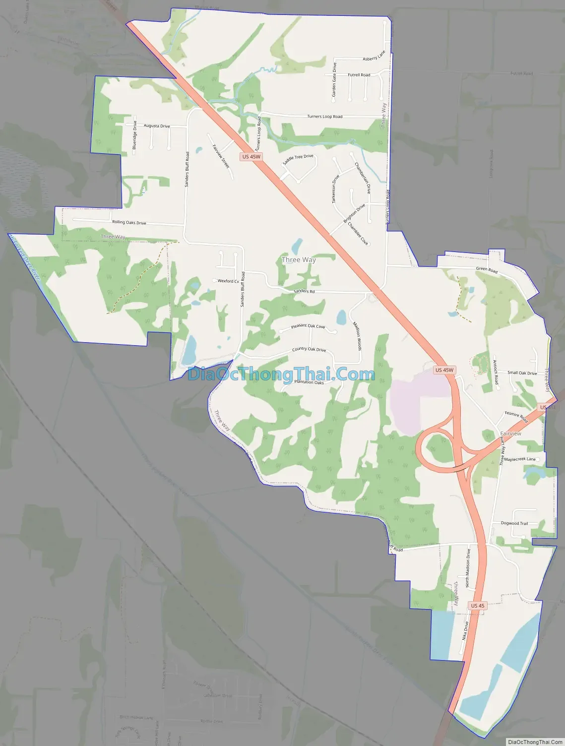
Three Way Road Map
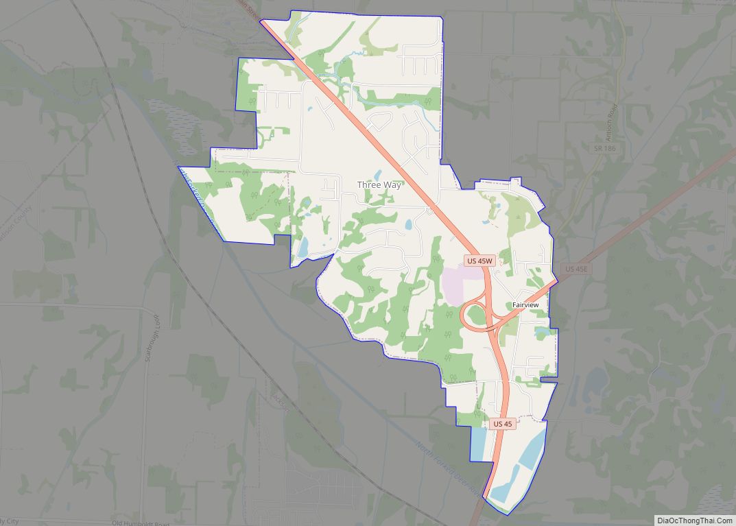
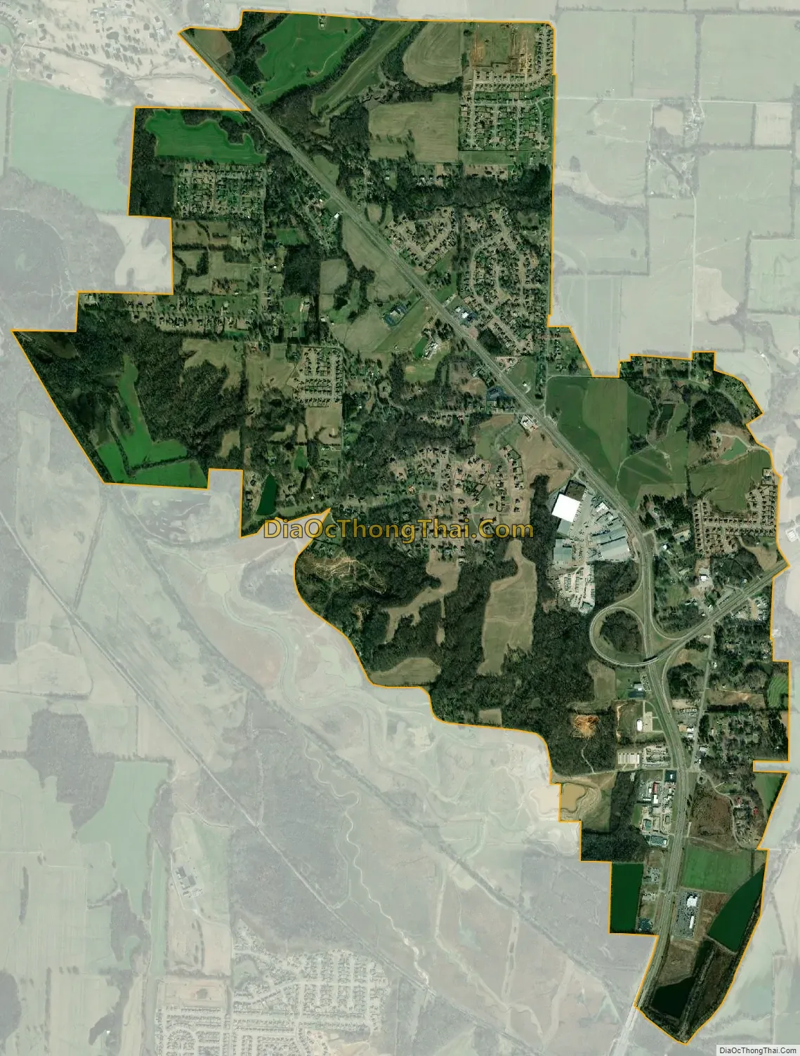
Three Way city Satellite Map
Geography
Three Way is located at 35°46′35″N 88°51′4″W / 35.77639°N 88.85111°W / 35.77639; -88.85111 (35.776424, -88.851111).
According to the United States Census Bureau, the city has a total area of 3.9 square miles (10 km), all land.
See also
Map of Tennessee State and its subdivision:- Anderson
- Bedford
- Benton
- Bledsoe
- Blount
- Bradley
- Campbell
- Cannon
- Carroll
- Carter
- Cheatham
- Chester
- Claiborne
- Clay
- Cocke
- Coffee
- Crockett
- Cumberland
- Davidson
- Decatur
- DeKalb
- Dickson
- Dyer
- Fayette
- Fentress
- Franklin
- Gibson
- Giles
- Grainger
- Greene
- Grundy
- Hamblen
- Hamilton
- Hancock
- Hardeman
- Hardin
- Hawkins
- Haywood
- Henderson
- Henry
- Hickman
- Houston
- Humphreys
- Jackson
- Jefferson
- Johnson
- Knox
- Lake
- Lauderdale
- Lawrence
- Lewis
- Lincoln
- Loudon
- Macon
- Madison
- Marion
- Marshall
- Maury
- McMinn
- McNairy
- Meigs
- Monroe
- Montgomery
- Moore
- Morgan
- Obion
- Overton
- Perry
- Pickett
- Polk
- Putnam
- Rhea
- Roane
- Robertson
- Rutherford
- Scott
- Sequatchie
- Sevier
- Shelby
- Smith
- Stewart
- Sullivan
- Sumner
- Tipton
- Trousdale
- Unicoi
- Union
- Van Buren
- Warren
- Washington
- Wayne
- Weakley
- White
- Williamson
- Wilson
- Alabama
- Alaska
- Arizona
- Arkansas
- California
- Colorado
- Connecticut
- Delaware
- District of Columbia
- Florida
- Georgia
- Hawaii
- Idaho
- Illinois
- Indiana
- Iowa
- Kansas
- Kentucky
- Louisiana
- Maine
- Maryland
- Massachusetts
- Michigan
- Minnesota
- Mississippi
- Missouri
- Montana
- Nebraska
- Nevada
- New Hampshire
- New Jersey
- New Mexico
- New York
- North Carolina
- North Dakota
- Ohio
- Oklahoma
- Oregon
- Pennsylvania
- Rhode Island
- South Carolina
- South Dakota
- Tennessee
- Texas
- Utah
- Vermont
- Virginia
- Washington
- West Virginia
- Wisconsin
- Wyoming