Walterhill, also known as Walter Hill, is a census-designated place (CDP) in Rutherford County, Tennessee. The population was 401 at the 2010 census.
Walterhill is the site of the 34-acre (140,000 m) Walterhill Floodplain State Natural Area, established to support a rare plant species found in the Stones River floodplain, the Stones River bladderpod (Paysonia stonensis). Walterhill is best known in the local area for being the site of Allied Waste Industries’ Middle Point landfill.
| Name: | Walterhill CDP |
|---|---|
| LSAD Code: | 57 |
| LSAD Description: | CDP (suffix) |
| State: | Tennessee |
| County: | Rutherford County |
| Elevation: | 545 ft (166 m) |
| Total Area: | 3.01 sq mi (7.79 km²) |
| Land Area: | 3.01 sq mi (7.79 km²) |
| Water Area: | 0.00 sq mi (0.00 km²) |
| Total Population: | 407 |
| Population Density: | 135.40/sq mi (52.28/km²) |
| FIPS code: | 4777980 |
| GNISfeature ID: | 1304364 |
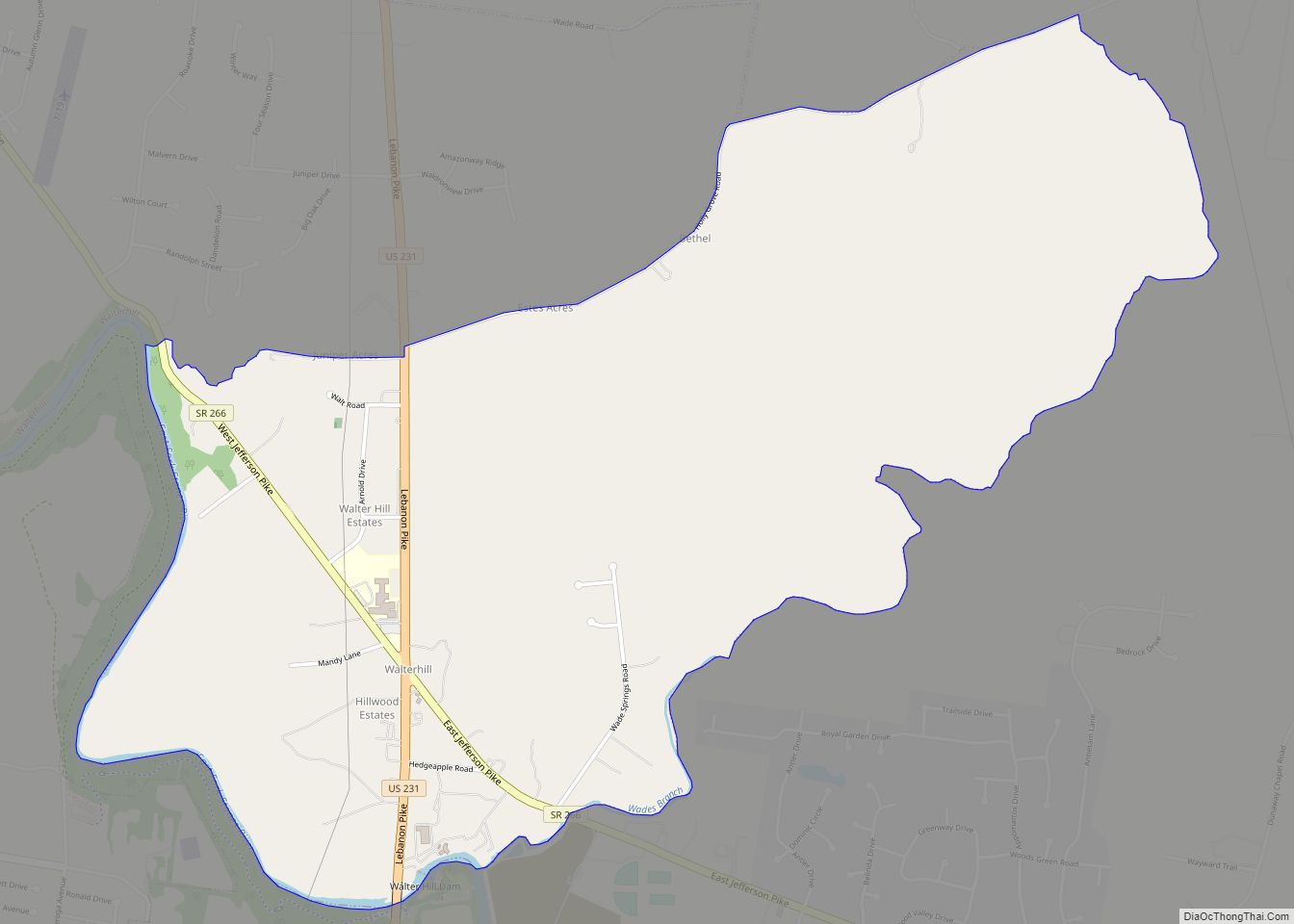
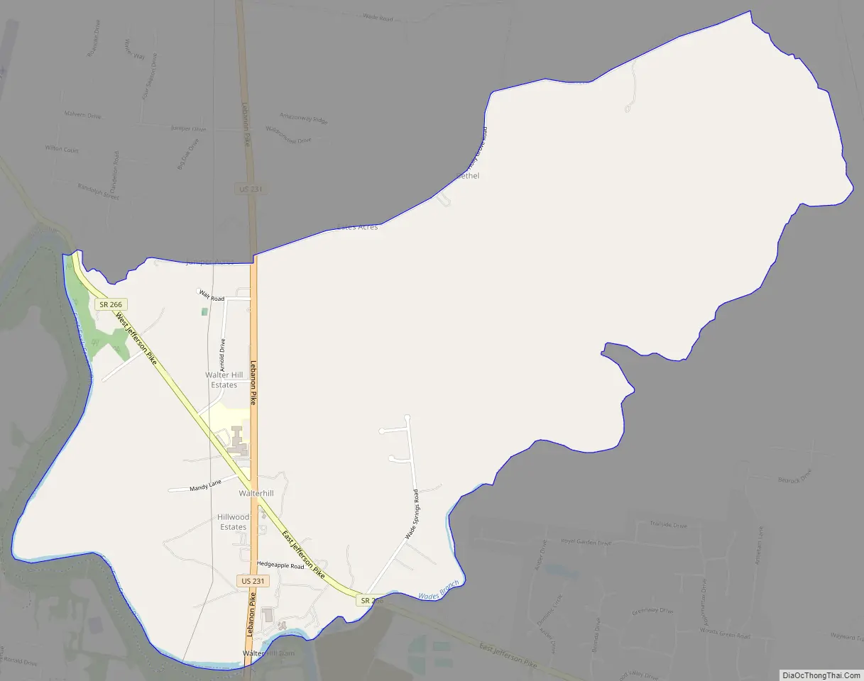
Online Interactive Map
Click on ![]() to view map in "full screen" mode.
to view map in "full screen" mode.
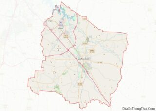
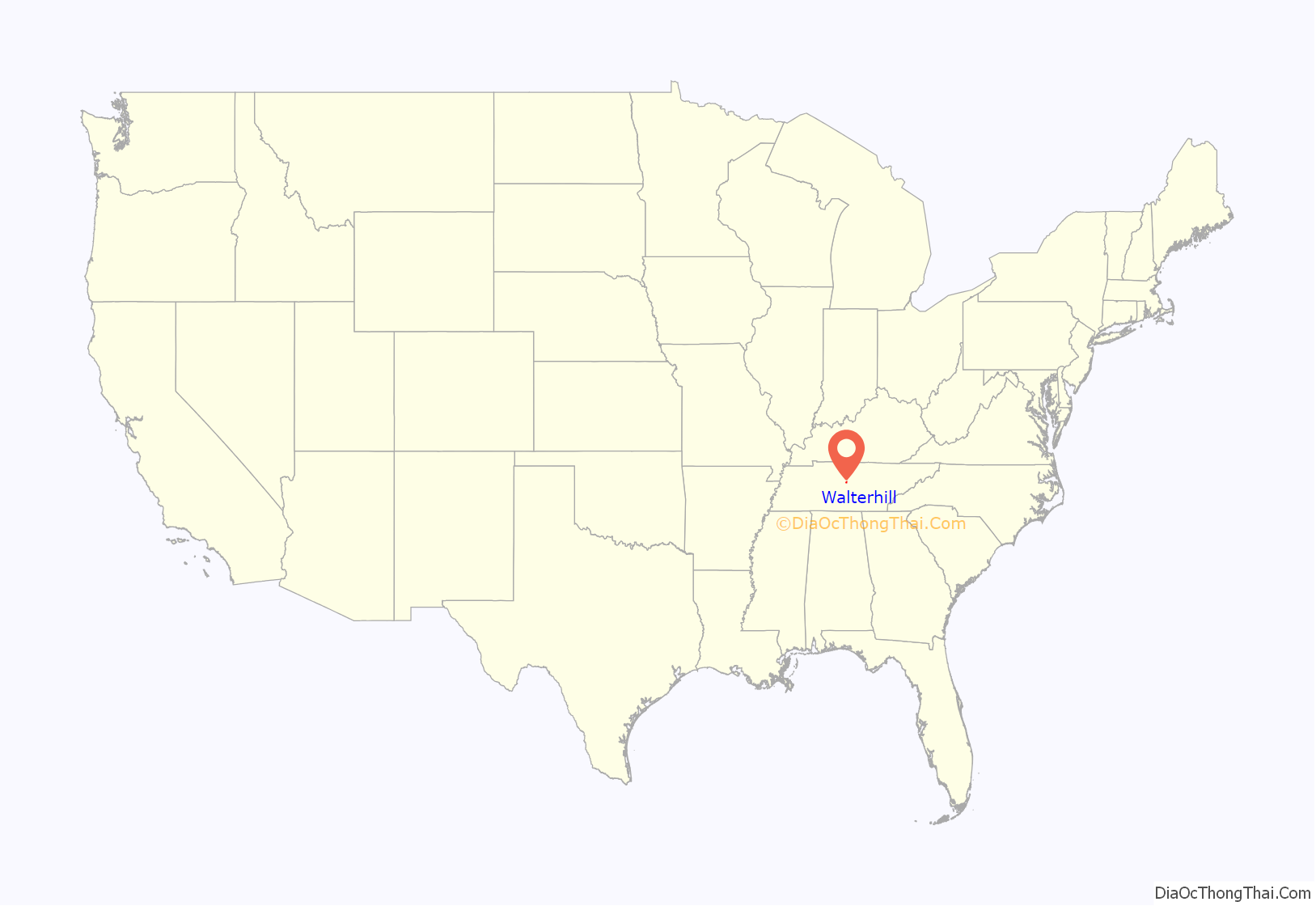
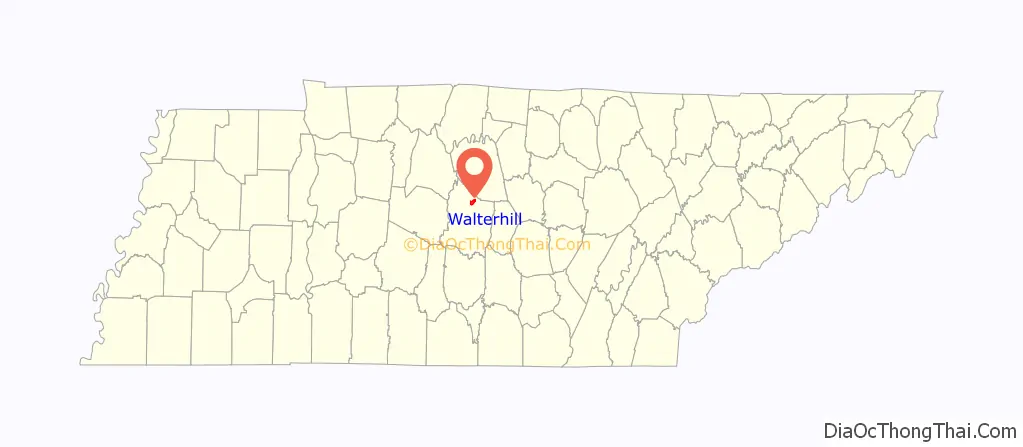
Walterhill location map. Where is Walterhill CDP?
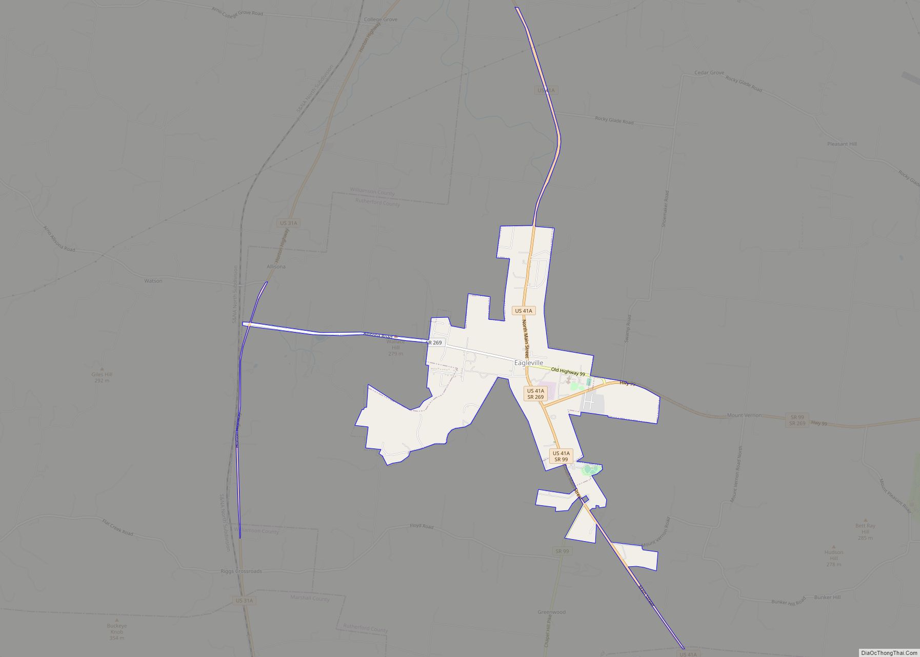
Walterhill Road Map
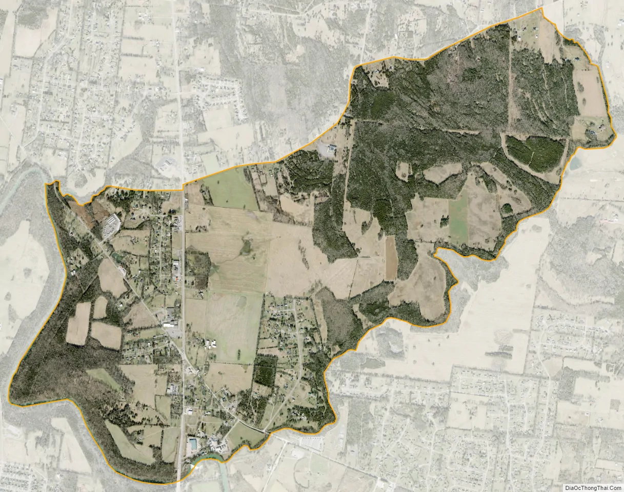
Walterhill city Satellite Map
Geography
Walterhill is located at 35°58′14″N 86°23′9″W / 35.97056°N 86.38583°W / 35.97056; -86.38583 (35.970674, -86.385838).
According to the United States Census Bureau, the CDP has a total area of 3.0 square miles (7.8 km), all land.
See also
Map of Tennessee State and its subdivision:- Anderson
- Bedford
- Benton
- Bledsoe
- Blount
- Bradley
- Campbell
- Cannon
- Carroll
- Carter
- Cheatham
- Chester
- Claiborne
- Clay
- Cocke
- Coffee
- Crockett
- Cumberland
- Davidson
- Decatur
- DeKalb
- Dickson
- Dyer
- Fayette
- Fentress
- Franklin
- Gibson
- Giles
- Grainger
- Greene
- Grundy
- Hamblen
- Hamilton
- Hancock
- Hardeman
- Hardin
- Hawkins
- Haywood
- Henderson
- Henry
- Hickman
- Houston
- Humphreys
- Jackson
- Jefferson
- Johnson
- Knox
- Lake
- Lauderdale
- Lawrence
- Lewis
- Lincoln
- Loudon
- Macon
- Madison
- Marion
- Marshall
- Maury
- McMinn
- McNairy
- Meigs
- Monroe
- Montgomery
- Moore
- Morgan
- Obion
- Overton
- Perry
- Pickett
- Polk
- Putnam
- Rhea
- Roane
- Robertson
- Rutherford
- Scott
- Sequatchie
- Sevier
- Shelby
- Smith
- Stewart
- Sullivan
- Sumner
- Tipton
- Trousdale
- Unicoi
- Union
- Van Buren
- Warren
- Washington
- Wayne
- Weakley
- White
- Williamson
- Wilson
- Alabama
- Alaska
- Arizona
- Arkansas
- California
- Colorado
- Connecticut
- Delaware
- District of Columbia
- Florida
- Georgia
- Hawaii
- Idaho
- Illinois
- Indiana
- Iowa
- Kansas
- Kentucky
- Louisiana
- Maine
- Maryland
- Massachusetts
- Michigan
- Minnesota
- Mississippi
- Missouri
- Montana
- Nebraska
- Nevada
- New Hampshire
- New Jersey
- New Mexico
- New York
- North Carolina
- North Dakota
- Ohio
- Oklahoma
- Oregon
- Pennsylvania
- Rhode Island
- South Carolina
- South Dakota
- Tennessee
- Texas
- Utah
- Vermont
- Virginia
- Washington
- West Virginia
- Wisconsin
- Wyoming