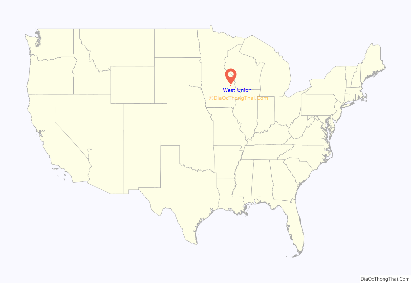
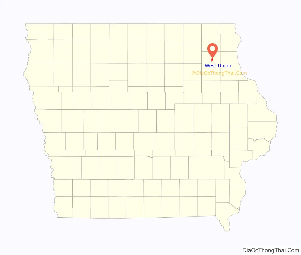
West Union is a city in Fayette County, Iowa, United States. The population was 2,490 at the time of the 2020 census. It is the county seat of Fayette County.
| Name: | West Union city |
|---|---|
| LSAD Code: | 25 |
| LSAD Description: | city (suffix) |
| State: | Iowa |
| County: | Fayette County |
| Elevation: | 1,188 ft (362 m) |
| Total Area: | 2.75 sq mi (7.11 km²) |
| Land Area: | 2.75 sq mi (7.11 km²) |
| Water Area: | 0.00 sq mi (0.00 km²) |
| Total Population: | 2,490 |
| Population Density: | 906.44/sq mi (350.02/km²) |
| ZIP code: | 52175 |
| Area code: | 563 |
| FIPS code: | 1984765 |
| GNISfeature ID: | 0462922 |
| Website: | www.westunion.com |
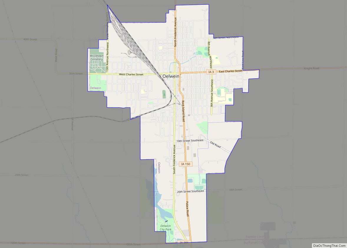
Online Interactive Map
Click on ![]() to view map in "full screen" mode.
to view map in "full screen" mode.
West Union location map. Where is West Union city?
History
Originally called Knob Prairie, the community was founded by William Wells, naming it for his hometown, also called West Union, in Ohio.
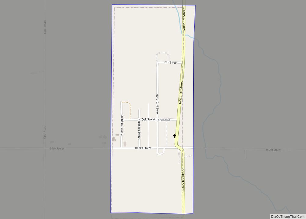
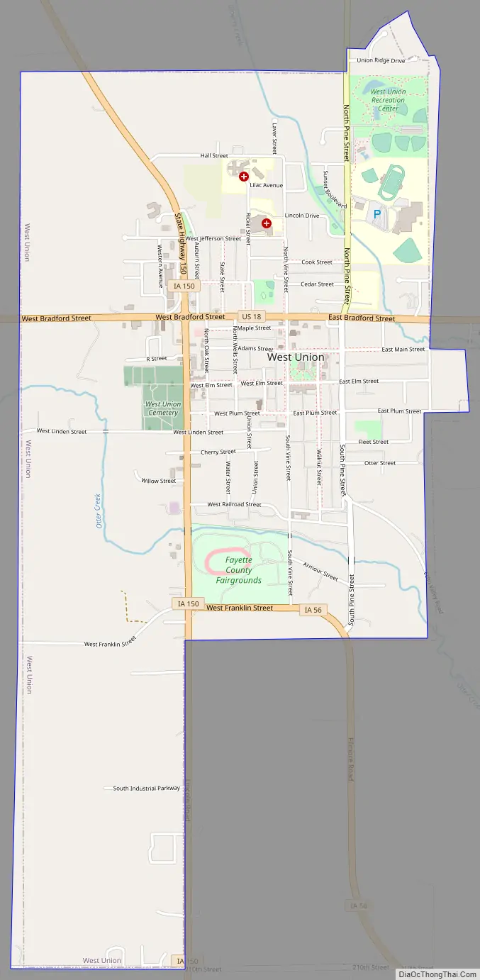
West Union Road Map
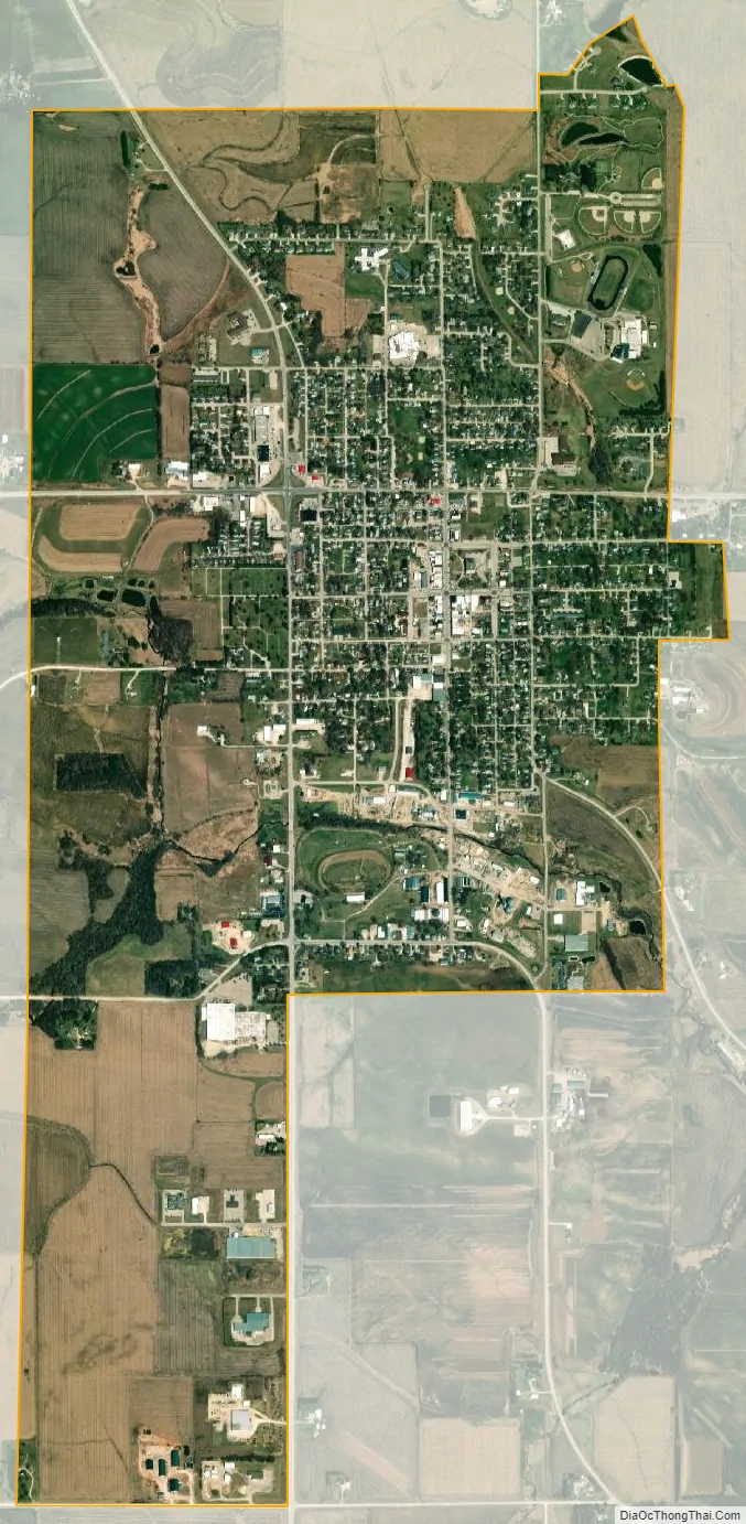
West Union city Satellite Map
Geography
West Union is located at 42°57′43″N 91°48′36″W / 42.96194°N 91.81000°W / 42.96194; -91.81000 (42.962035, -91.810055).
According to the United States Census Bureau, the city has a total area of 2.78 square miles (7.20 km), all land.
The city lies at the junction of U.S. Route 18 with Iowa Highways 56 and 150.
West Union is the home of the North Fayette Valley Community School District, which comprises the communities of West Union; Clermont; Elgin; Wadena; Hawkeye; Fayette, the unincorporated town of Alpha and the surrounding rural areas.
North Fayette and Valley Community Schools combined services in 2013 with the high school in West Union and the middle school in Elgin. The new school’s mascot is called the Tigerhawks, due to the merging of the schools mascots, the Valley Tigers and the North Fayette Hawks. This agreement came about as a result of low enrollment and less state aid. The agreement was intended to last until the end of the 2015–2016 school year, when the school boards could decide to either: continue the whole-grade sharing agreement, end the agreement and go back to the North Fayette and Valley school districts, or officially consolidate the two districts. In July, 2018, after overwhelming majorities from both districts agreed to the merger, the district officially became North Fayette Valley.
See also
Map of Iowa State and its subdivision:- Adair
- Adams
- Allamakee
- Appanoose
- Audubon
- Benton
- Black Hawk
- Boone
- Bremer
- Buchanan
- Buena Vista
- Butler
- Calhoun
- Carroll
- Cass
- Cedar
- Cerro Gordo
- Cherokee
- Chickasaw
- Clarke
- Clay
- Clayton
- Clinton
- Crawford
- Dallas
- Davis
- Decatur
- Delaware
- Des Moines
- Dickinson
- Dubuque
- Emmet
- Fayette
- Floyd
- Franklin
- Fremont
- Greene
- Grundy
- Guthrie
- Hamilton
- Hancock
- Hardin
- Harrison
- Henry
- Howard
- Humboldt
- Ida
- Iowa
- Jackson
- Jasper
- Jefferson
- Johnson
- Jones
- Keokuk
- Kossuth
- Lee
- Linn
- Louisa
- Lucas
- Lyon
- Madison
- Mahaska
- Marion
- Marshall
- Mills
- Mitchell
- Monona
- Monroe
- Montgomery
- Muscatine
- O'Brien
- Osceola
- Page
- Palo Alto
- Plymouth
- Pocahontas
- Polk
- Pottawattamie
- Poweshiek
- Ringgold
- Sac
- Scott
- Shelby
- Sioux
- Story
- Tama
- Taylor
- Union
- Van Buren
- Wapello
- Warren
- Washington
- Wayne
- Webster
- Winnebago
- Winneshiek
- Woodbury
- Worth
- Wright
- Alabama
- Alaska
- Arizona
- Arkansas
- California
- Colorado
- Connecticut
- Delaware
- District of Columbia
- Florida
- Georgia
- Hawaii
- Idaho
- Illinois
- Indiana
- Iowa
- Kansas
- Kentucky
- Louisiana
- Maine
- Maryland
- Massachusetts
- Michigan
- Minnesota
- Mississippi
- Missouri
- Montana
- Nebraska
- Nevada
- New Hampshire
- New Jersey
- New Mexico
- New York
- North Carolina
- North Dakota
- Ohio
- Oklahoma
- Oregon
- Pennsylvania
- Rhode Island
- South Carolina
- South Dakota
- Tennessee
- Texas
- Utah
- Vermont
- Virginia
- Washington
- West Virginia
- Wisconsin
- Wyoming