Milford is a city in Dickinson County, Iowa, United States. The population was 3,321 at the time of the 2020 census. The town includes many businesses related to its location in the Iowa Great Lakes region and is often referred to as the southern gateway to the Iowa Great Lakes.
| Name: | Milford city |
|---|---|
| LSAD Code: | 25 |
| LSAD Description: | city (suffix) |
| State: | Iowa |
| County: | Dickinson County |
| Elevation: | 1,440 ft (439 m) |
| Total Area: | 2.19 sq mi (5.66 km²) |
| Land Area: | 2.18 sq mi (5.64 km²) |
| Water Area: | 0.01 sq mi (0.03 km²) |
| Total Population: | 3,321 |
| Population Density: | 1,525.49/sq mi (588.93/km²) |
| ZIP code: | 51351 |
| Area code: | 712 |
| FIPS code: | 1952095 |
| GNISfeature ID: | 0459076 |
| Website: | https://milford.ia.us/ |
Online Interactive Map
Click on ![]() to view map in "full screen" mode.
to view map in "full screen" mode.
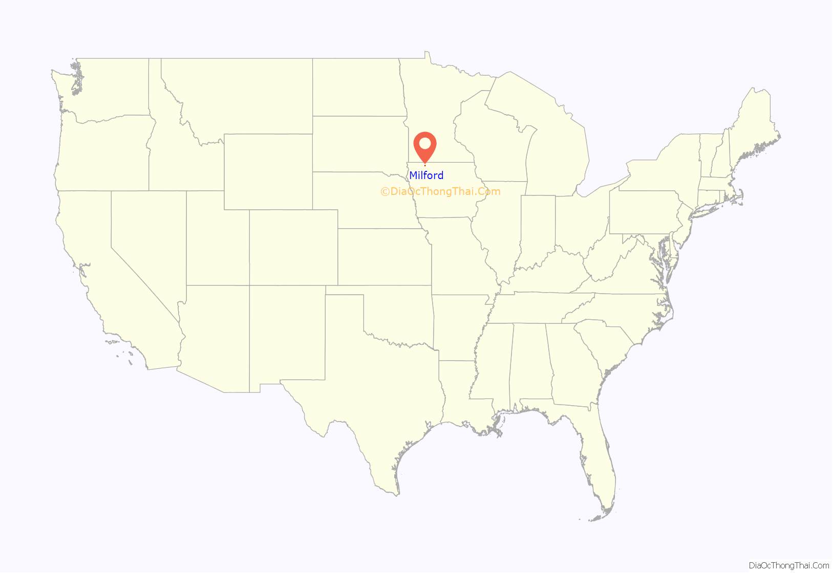
Milford location map. Where is Milford city?
History
The Iowa Great Lakes Area was settled in the 1850s. It attracted many colonists because of the rich black soil, water from the lakes, and an abundance of wild game and fish. As the population increased at these times, there was a need for a good flouring mill because the nearest mills were those in Mankato, Minnesota and Fort Dodge, Iowa. In 1861, there was an attempt to build one on Mill Creek, at the outlet of the Great Lakes but the attempt was abandoned after the Dakota-U.S. War of 1862 and the extremely low water level that year. In 1868 one was successfully built, and sawmill was built and put into operation in 1869. The mills began to attract many customers, and the small community began to grow around Old Town. In 1870, the company that operated the mill bought a section of land northwest of Old Town and laid out a plan for the town of Milford.
On March 14, 1892, the first Town Council meeting was held. Some buildings were moved from Old Town to New Town and many more businesses and residences were constructed. In 1921, the U.S. flag was flown at the new city hall for the first time and that year a vote approved to pave Okoboji Avenue (Main Street of Milford). The Milwaukee rail line which ran through Milford supplied the town with mail, groceries, clothing, lumber, coal, and machinery before automobiles could get to the Great Lakes. Two passenger trains made daily trips from Des Moines to Spirit Lake, as well as another from Spencer. Until 1910, excursion trains came to the Lakes Area from Des Moines, Algona, and other towns on weekends and holidays. The last passenger train left Milford for Spencer in 1951. The last freight train left Milford for Spencer in 1976. The tracks were dismantled in 1978 and later became a part of the Iowa Great Lakes Recreational Trail.
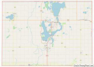
Milford Road Map
Milford city Satellite Map
Geography
Milford is located at 43°19′37″N 95°9′3″W / 43.32694°N 95.15083°W / 43.32694; -95.15083 (43.327006, -95.150701).
According to the United States Census Bureau, the city has a total area of 2.29 square miles (5.93 km), of which 2.28 square miles (5.91 km) is land and 0.01 square miles (0.03 km) is water.
Climate
See also
Map of Iowa State and its subdivision:- Adair
- Adams
- Allamakee
- Appanoose
- Audubon
- Benton
- Black Hawk
- Boone
- Bremer
- Buchanan
- Buena Vista
- Butler
- Calhoun
- Carroll
- Cass
- Cedar
- Cerro Gordo
- Cherokee
- Chickasaw
- Clarke
- Clay
- Clayton
- Clinton
- Crawford
- Dallas
- Davis
- Decatur
- Delaware
- Des Moines
- Dickinson
- Dubuque
- Emmet
- Fayette
- Floyd
- Franklin
- Fremont
- Greene
- Grundy
- Guthrie
- Hamilton
- Hancock
- Hardin
- Harrison
- Henry
- Howard
- Humboldt
- Ida
- Iowa
- Jackson
- Jasper
- Jefferson
- Johnson
- Jones
- Keokuk
- Kossuth
- Lee
- Linn
- Louisa
- Lucas
- Lyon
- Madison
- Mahaska
- Marion
- Marshall
- Mills
- Mitchell
- Monona
- Monroe
- Montgomery
- Muscatine
- O'Brien
- Osceola
- Page
- Palo Alto
- Plymouth
- Pocahontas
- Polk
- Pottawattamie
- Poweshiek
- Ringgold
- Sac
- Scott
- Shelby
- Sioux
- Story
- Tama
- Taylor
- Union
- Van Buren
- Wapello
- Warren
- Washington
- Wayne
- Webster
- Winnebago
- Winneshiek
- Woodbury
- Worth
- Wright
- Alabama
- Alaska
- Arizona
- Arkansas
- California
- Colorado
- Connecticut
- Delaware
- District of Columbia
- Florida
- Georgia
- Hawaii
- Idaho
- Illinois
- Indiana
- Iowa
- Kansas
- Kentucky
- Louisiana
- Maine
- Maryland
- Massachusetts
- Michigan
- Minnesota
- Mississippi
- Missouri
- Montana
- Nebraska
- Nevada
- New Hampshire
- New Jersey
- New Mexico
- New York
- North Carolina
- North Dakota
- Ohio
- Oklahoma
- Oregon
- Pennsylvania
- Rhode Island
- South Carolina
- South Dakota
- Tennessee
- Texas
- Utah
- Vermont
- Virginia
- Washington
- West Virginia
- Wisconsin
- Wyoming
