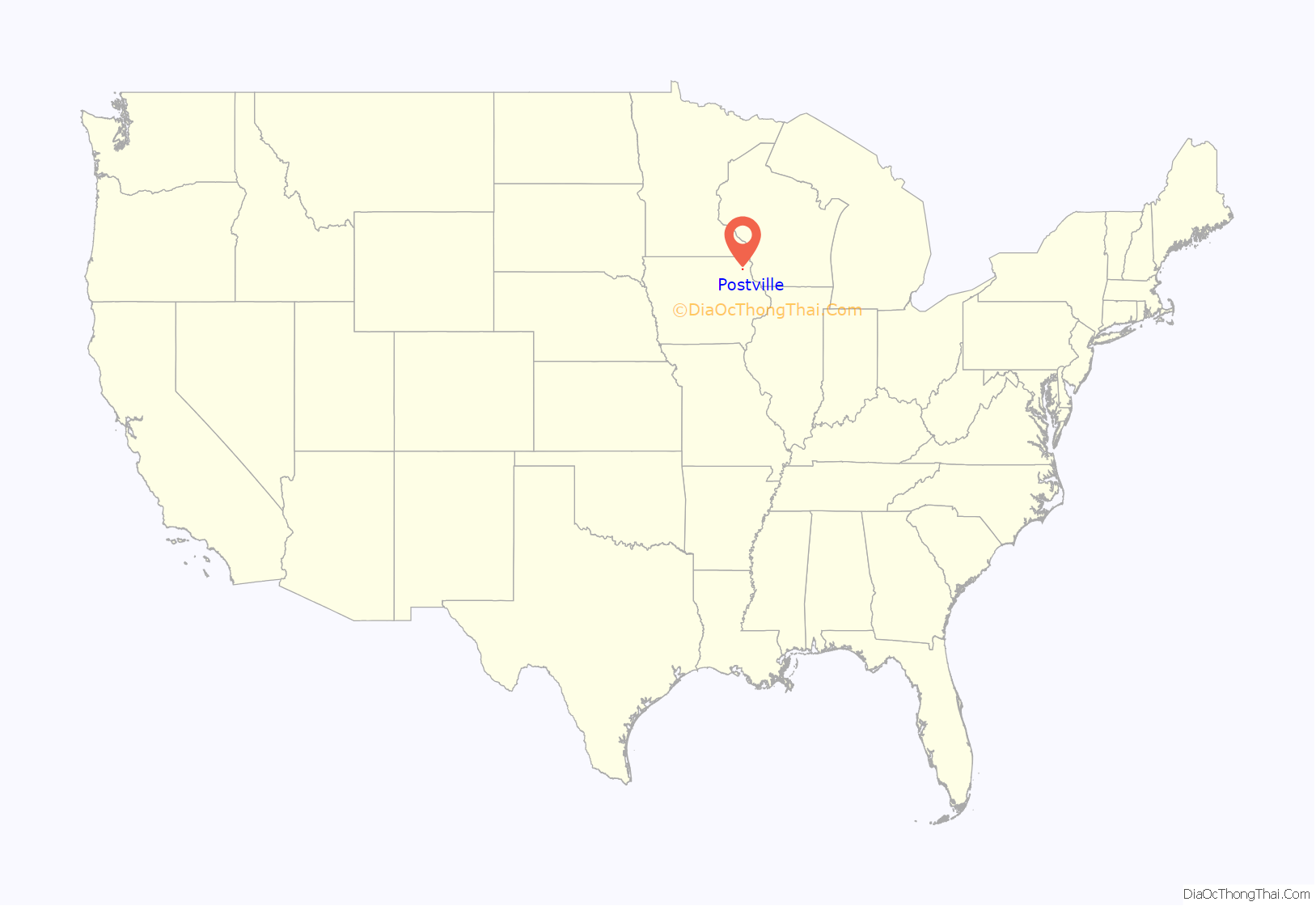
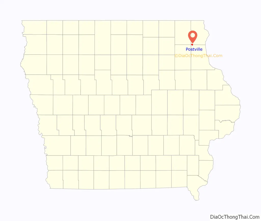
Postville is a village in Allamakee and Clayton counties in the U.S. state of Iowa. It lies near the junction of four counties and at the intersection of U.S. Routes 18 and 52 and Iowa Highway 51, with airport facilities in the neighboring communities of Waukon, Decorah, Monona and Prairie du Chien. The population was 2,503 at the time of the 2020 census, up from 2,273 in 2000. The village is in Allamakee County’s southwestern corner and the Clayton County’s northwestern corner in a quad county, or four-corner region, where four counties intersect. Winneshiek County is just to the west and Fayette County just to the southwest of Postville.
| Name: | Postville city |
|---|---|
| LSAD Code: | 25 |
| LSAD Description: | city (suffix) |
| State: | Iowa |
| County: | Allamakee County, Clayton County |
| Incorporated: | March 11, 1873 |
| Elevation: | 1,181 ft (360 m) |
| Total Area: | 2.08 sq mi (5.38 km²) |
| Land Area: | 2.08 sq mi (5.38 km²) |
| Water Area: | 0.00 sq mi (0.00 km²) |
| Total Population: | 2,503 |
| Population Density: | 1,205.10/sq mi (465.29/km²) |
| ZIP code: | 52162 |
| Area code: | 563 |
| FIPS code: | 1964290 |
| GNISfeature ID: | 0460373 |
| Website: | www.cityofpostville.com |
Online Interactive Map
Click on ![]() to view map in "full screen" mode.
to view map in "full screen" mode.
Postville location map. Where is Postville city?
History
Postville was platted in 1853. The city was named for Joel Post, a pioneer settler.
In 1987, a group of Hasidic Jews started Agriprocessors, a Kosher slaughterhouse, in Postville. After numerous accusations of mistreatment of cattle, pollution, and violations of labor law, the federal government raided the facility in May 2008, resulting in hundreds of arrests of undocumented workers. Agriprocessors filed for bankruptcy on November 5, 2008; SHF Industries bought the plant at auction in July 2009 and it has resumed production under the new name Agri Star.
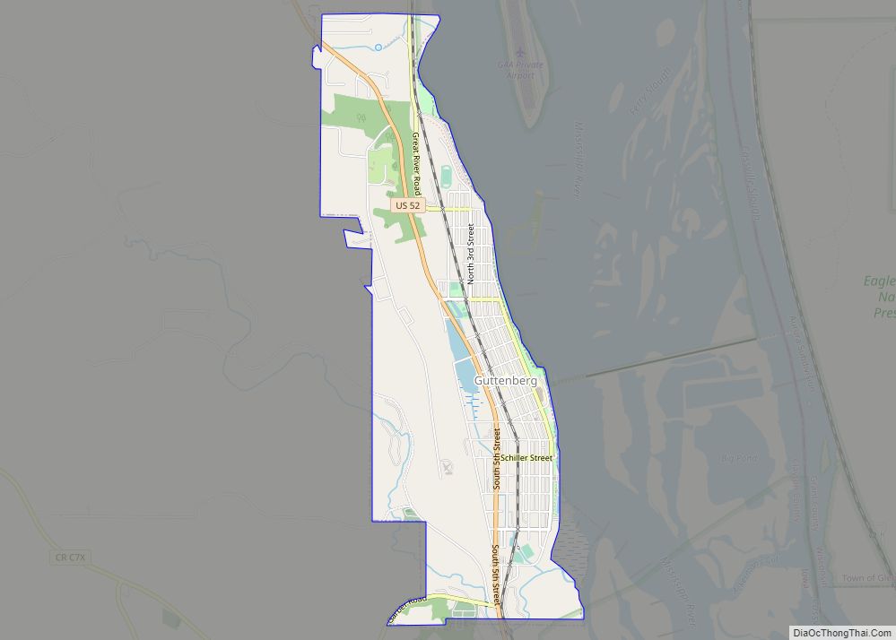
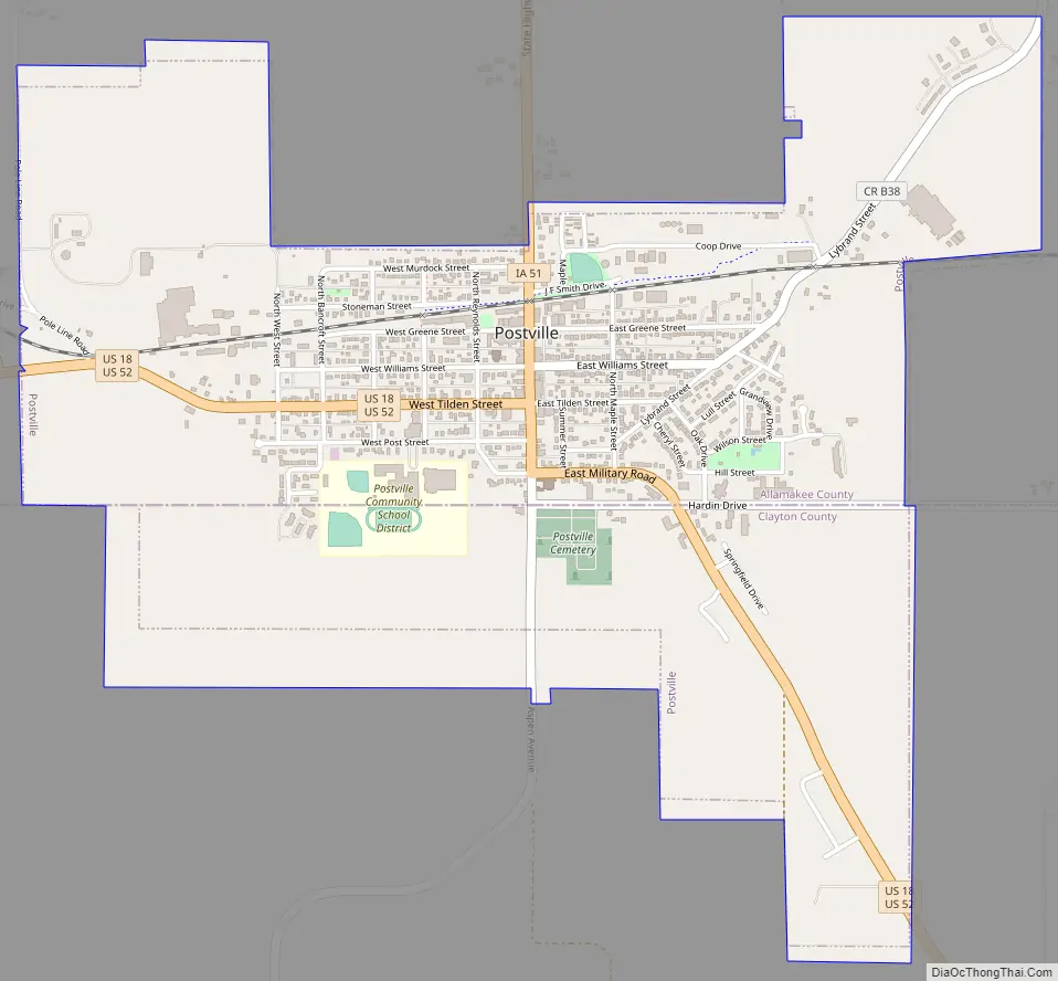
Postville Road Map
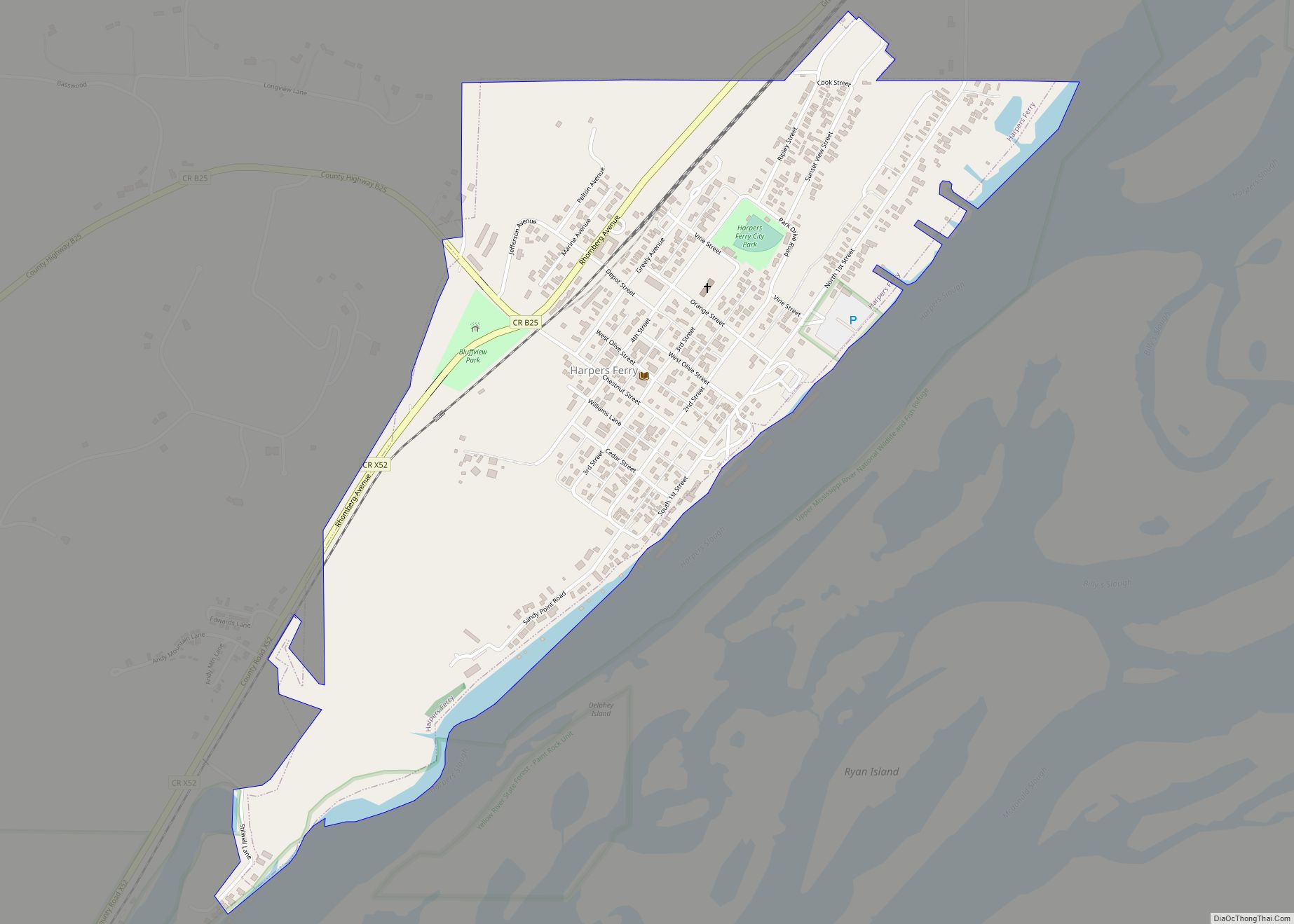
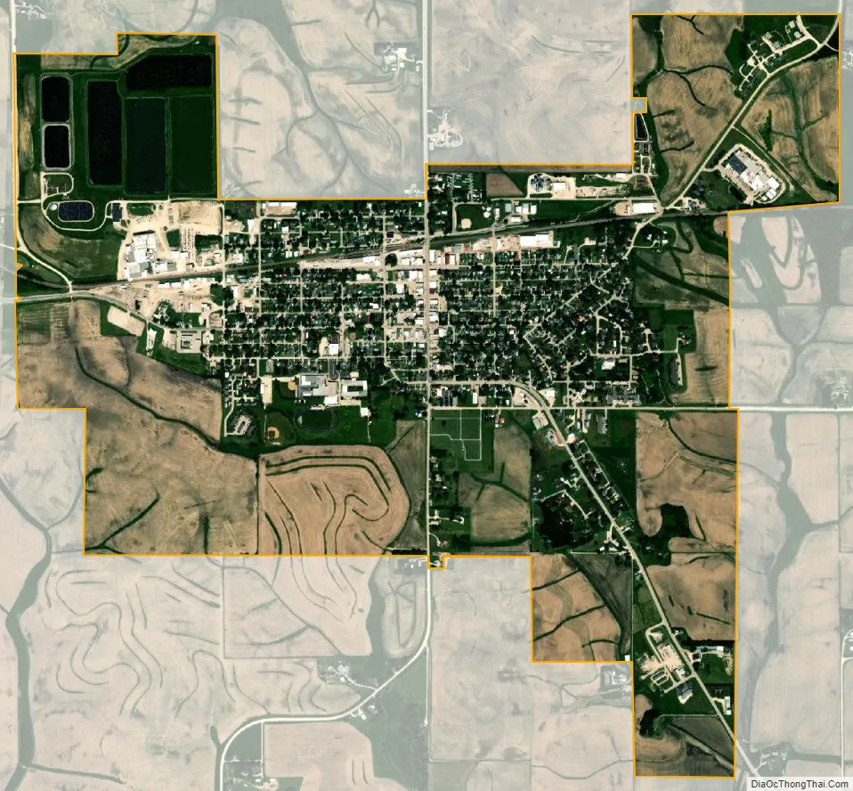
Postville city Satellite Map
Geography
Postville’s longitude and latitude coordinates in decimal form are 43.085102, -91.569515.
According to the United States Census Bureau, the city has an area of 2.11 square miles (5.46 km), all land.
Climate
See also
Map of Iowa State and its subdivision:- Adair
- Adams
- Allamakee
- Appanoose
- Audubon
- Benton
- Black Hawk
- Boone
- Bremer
- Buchanan
- Buena Vista
- Butler
- Calhoun
- Carroll
- Cass
- Cedar
- Cerro Gordo
- Cherokee
- Chickasaw
- Clarke
- Clay
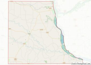
- Clayton
- Clinton
- Crawford
- Dallas
- Davis
- Decatur
- Delaware
- Des Moines
- Dickinson
- Dubuque
- Emmet
- Fayette
- Floyd
- Franklin
- Fremont
- Greene
- Grundy
- Guthrie
- Hamilton
- Hancock
- Hardin
- Harrison
- Henry
- Howard
- Humboldt
- Ida
- Iowa
- Jackson
- Jasper
- Jefferson
- Johnson
- Jones
- Keokuk
- Kossuth
- Lee
- Linn
- Louisa
- Lucas
- Lyon
- Madison
- Mahaska
- Marion
- Marshall
- Mills
- Mitchell
- Monona
- Monroe
- Montgomery
- Muscatine
- O'Brien
- Osceola
- Page
- Palo Alto
- Plymouth
- Pocahontas
- Polk
- Pottawattamie
- Poweshiek
- Ringgold
- Sac
- Scott
- Shelby
- Sioux
- Story
- Tama
- Taylor
- Union
- Van Buren
- Wapello
- Warren
- Washington
- Wayne
- Webster
- Winnebago
- Winneshiek
- Woodbury
- Worth
- Wright
- Alabama
- Alaska
- Arizona
- Arkansas
- California
- Colorado
- Connecticut
- Delaware
- District of Columbia
- Florida
- Georgia
- Hawaii
- Idaho
- Illinois
- Indiana
- Iowa
- Kansas
- Kentucky
- Louisiana
- Maine
- Maryland
- Massachusetts
- Michigan
- Minnesota
- Mississippi
- Missouri
- Montana
- Nebraska
- Nevada
- New Hampshire
- New Jersey
- New Mexico
- New York
- North Carolina
- North Dakota
- Ohio
- Oklahoma
- Oregon
- Pennsylvania
- Rhode Island
- South Carolina
- South Dakota
- Tennessee
- Texas
- Utah
- Vermont
- Virginia
- Washington
- West Virginia
- Wisconsin
- Wyoming