Story City is a city in Story County, Iowa. It is located within the Ames, Iowa Metropolitan Statistical Area which envelops the entirety of Story County and combined with the Boone, Iowa Micropolitan Statistical Area makes up the larger Ames-Boone, Iowa Combined Statistical Area. The population was 3,352 in the 2020 census, a slight increase from 3,228 in 2000.
| Name: | Story City city |
|---|---|
| LSAD Code: | 25 |
| LSAD Description: | city (suffix) |
| State: | Iowa |
| County: | Story County |
| Incorporated: | December 12, 1881 |
| Elevation: | 1,001 ft (305 m) |
| Total Area: | 2.86 sq mi (7.40 km²) |
| Land Area: | 2.86 sq mi (7.40 km²) |
| Water Area: | 0.00 sq mi (0.01 km²) |
| Total Population: | 3,352 |
| Population Density: | 1,173.67/sq mi (453.15/km²) |
| ZIP code: | 50248 |
| Area code: | 515 |
| FIPS code: | 1975675 |
| GNISfeature ID: | 0462019 |
| Website: | cityofstorycity.org |
Online Interactive Map
Click on ![]() to view map in "full screen" mode.
to view map in "full screen" mode.
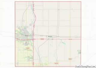
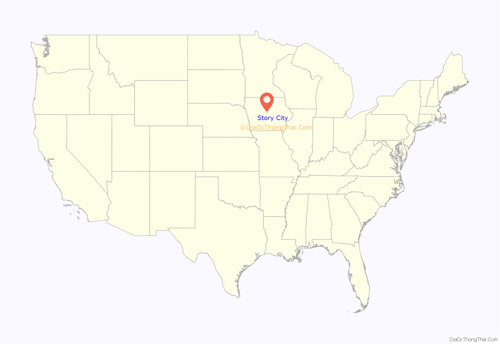
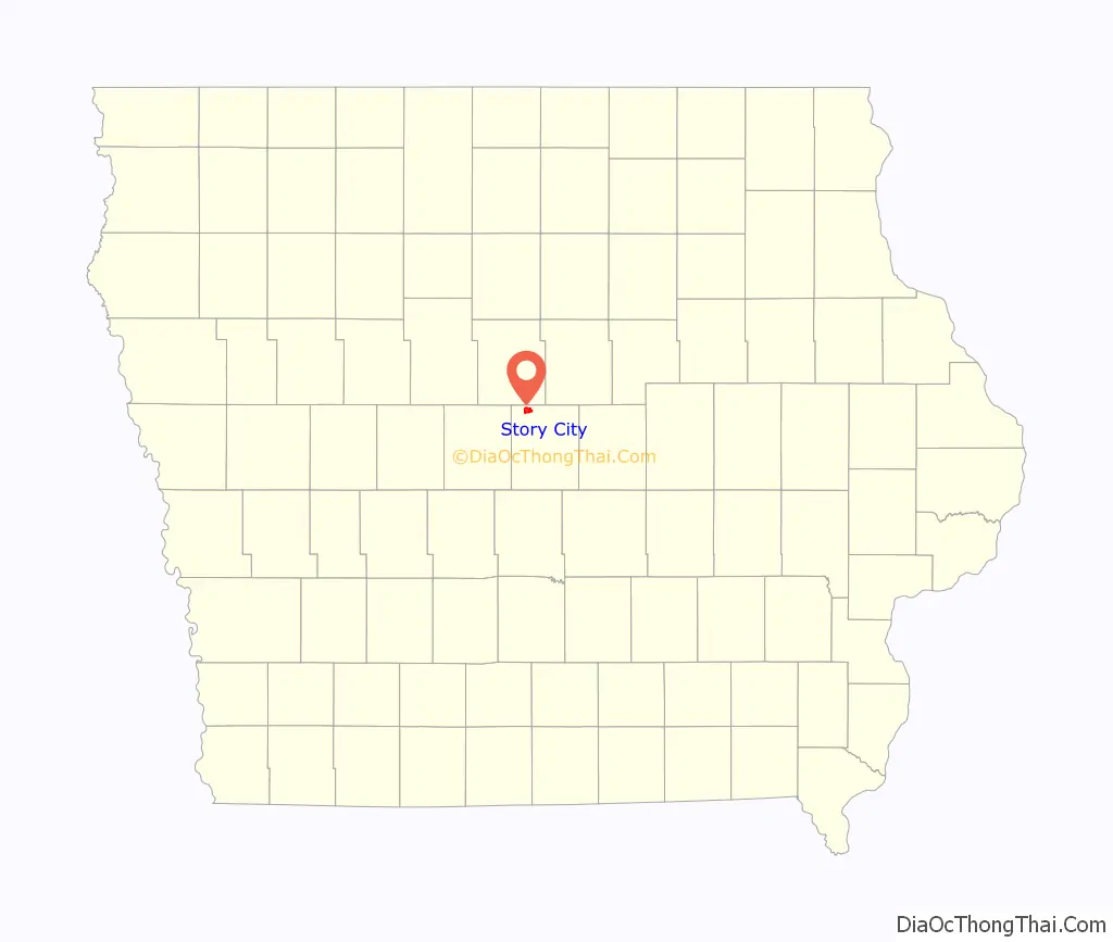
Story City location map. Where is Story City city?
History
Story City was known as Fairview throughout much of its early history. The named changed in 1881 when the town established a post office and discovered that the Fairview name was already in use for another town. Story City was renamed after Supreme Court Justice Joseph Story. The boundaries of “Old Fairview” are outlined by signs during Scandinavian Days, and is approximately in the northeast corner of current Story City with the southern boundary being Broad Street.
Story City was laid out including Fairview in 1878, and officially incorporated in 1881. The railroad arrived in 1878 and connected the city to Ames by the narrow-gauge Des Moines & Minnesota and to Des Moines via the Chicago and North Western Railroad in Ames.
The city has deep historic and cultural ties to the Scandinavian countries of Denmark, Sweden, and mostly Norway. A large contingent of the city’s current population is descended from a major immigration of people from Nordic countries in the 1840s through 1860s. It is evident in the large number of Lutheran churches in the community with ministers historically delivering sermons in different languages (Swedish, Danish, and Norwegian) respective of the makeup of their congregations.
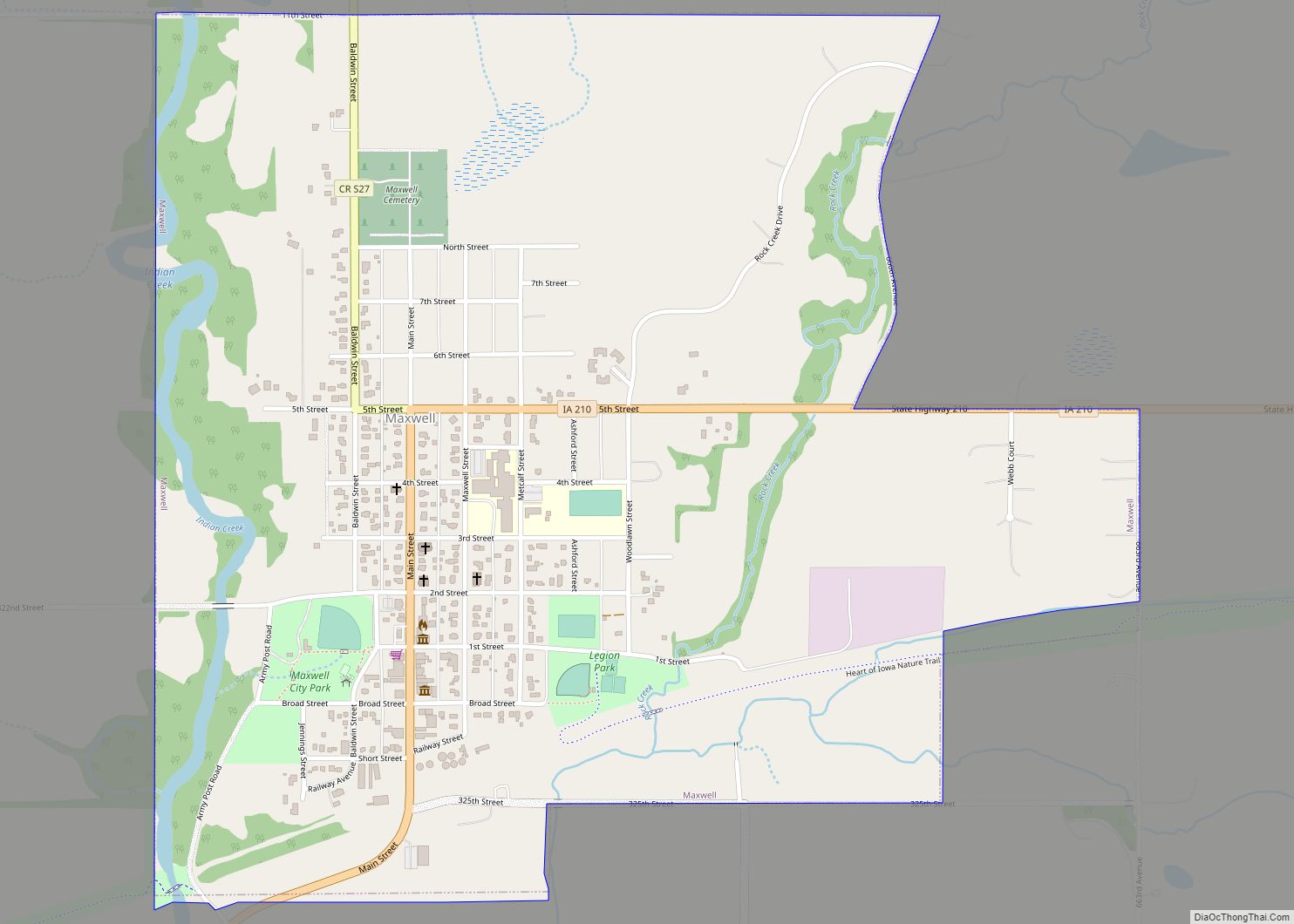
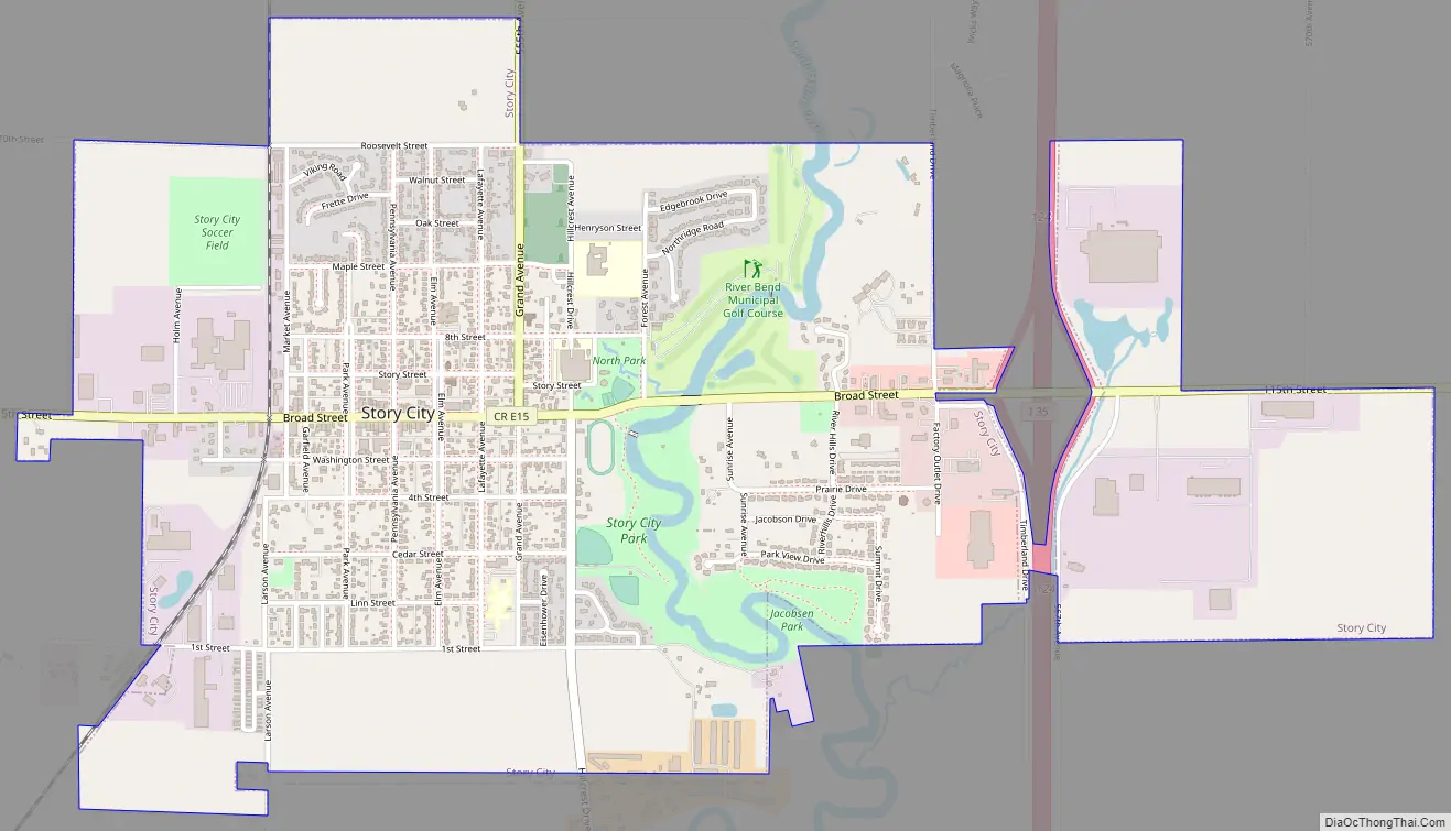
Story City Road Map
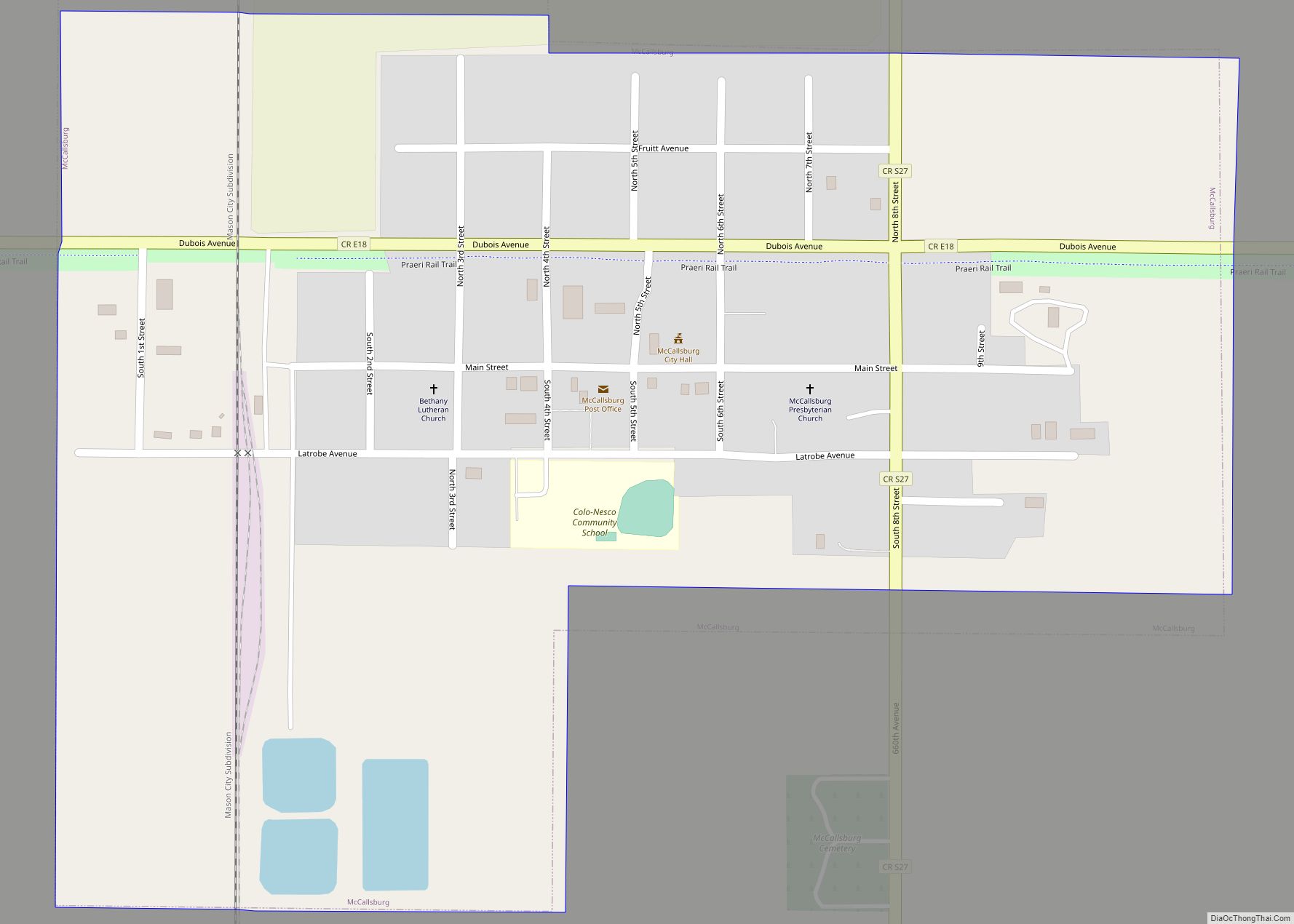
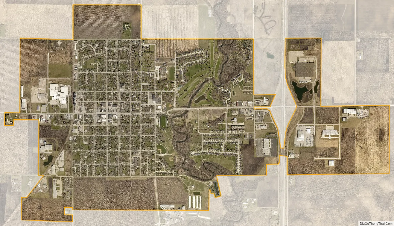
Story City city Satellite Map
Geography
Story City’s longitude and latitude coordinates in decimal form are 42.1872062, -93.5957713.
According to the United States Census Bureau, the city has a total area of 2.80 square miles (7.25 km) which is all land.
See also
Map of Iowa State and its subdivision:- Adair
- Adams
- Allamakee
- Appanoose
- Audubon
- Benton
- Black Hawk
- Boone
- Bremer
- Buchanan
- Buena Vista
- Butler
- Calhoun
- Carroll
- Cass
- Cedar
- Cerro Gordo
- Cherokee
- Chickasaw
- Clarke
- Clay
- Clayton
- Clinton
- Crawford
- Dallas
- Davis
- Decatur
- Delaware
- Des Moines
- Dickinson
- Dubuque
- Emmet
- Fayette
- Floyd
- Franklin
- Fremont
- Greene
- Grundy
- Guthrie
- Hamilton
- Hancock
- Hardin
- Harrison
- Henry
- Howard
- Humboldt
- Ida
- Iowa
- Jackson
- Jasper
- Jefferson
- Johnson
- Jones
- Keokuk
- Kossuth
- Lee
- Linn
- Louisa
- Lucas
- Lyon
- Madison
- Mahaska
- Marion
- Marshall
- Mills
- Mitchell
- Monona
- Monroe
- Montgomery
- Muscatine
- O'Brien
- Osceola
- Page
- Palo Alto
- Plymouth
- Pocahontas
- Polk
- Pottawattamie
- Poweshiek
- Ringgold
- Sac
- Scott
- Shelby
- Sioux
- Story
- Tama
- Taylor
- Union
- Van Buren
- Wapello
- Warren
- Washington
- Wayne
- Webster
- Winnebago
- Winneshiek
- Woodbury
- Worth
- Wright
- Alabama
- Alaska
- Arizona
- Arkansas
- California
- Colorado
- Connecticut
- Delaware
- District of Columbia
- Florida
- Georgia
- Hawaii
- Idaho
- Illinois
- Indiana
- Iowa
- Kansas
- Kentucky
- Louisiana
- Maine
- Maryland
- Massachusetts
- Michigan
- Minnesota
- Mississippi
- Missouri
- Montana
- Nebraska
- Nevada
- New Hampshire
- New Jersey
- New Mexico
- New York
- North Carolina
- North Dakota
- Ohio
- Oklahoma
- Oregon
- Pennsylvania
- Rhode Island
- South Carolina
- South Dakota
- Tennessee
- Texas
- Utah
- Vermont
- Virginia
- Washington
- West Virginia
- Wisconsin
- Wyoming