Abingdon is a city in Knox County, Illinois, United States, 50 miles (80 km) west of Peoria. It is part of the Galesburg Micropolitan Statistical Area. The city was first settled in 1828 and was incorporated in 1857. In june of 1907, the patent for the common spring-loaded mousetrap was awarded to William Hooker William Armstrong and Knox Mark of Abingdon. The population was 3,319 at the 2010 census, down from 3,612 at the 2000 census.
| Name: | Abingdon city |
|---|---|
| LSAD Code: | 25 |
| LSAD Description: | city (suffix) |
| State: | Illinois |
| County: | Knox County |
| Elevation: | 751 ft (229 m) |
| Total Area: | 1.43 sq mi (3.69 km²) |
| Land Area: | 1.43 sq mi (3.69 km²) |
| Water Area: | 0.00 sq mi (0.00 km²) |
| Total Population: | 2,951 |
| Population Density: | 2,070.88/sq mi (799.77/km²) |
| ZIP code: | 61410 |
| FIPS code: | 1700113 |
| GNISfeature ID: | 2393876 |
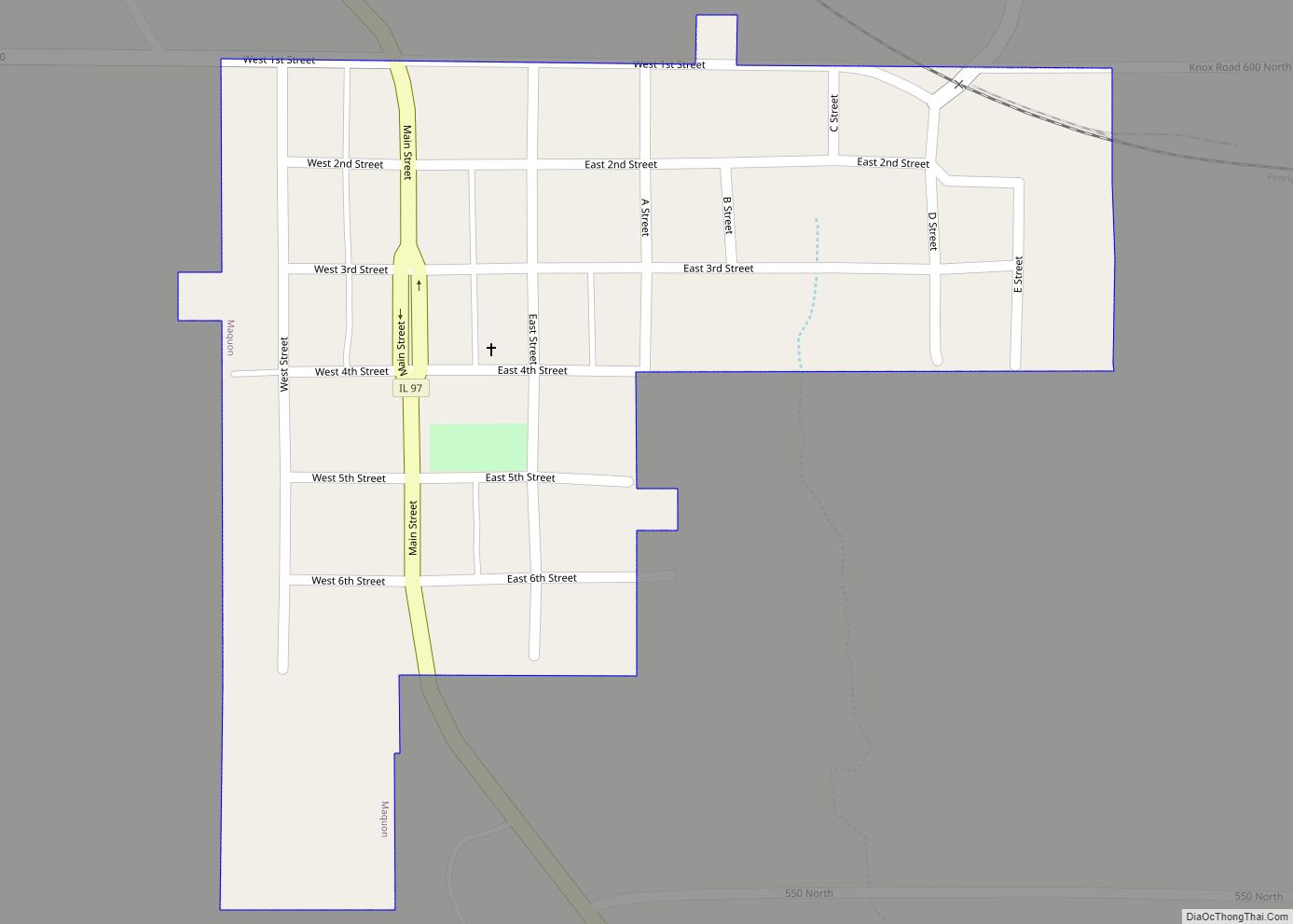
Online Interactive Map
Click on ![]() to view map in "full screen" mode.
to view map in "full screen" mode.
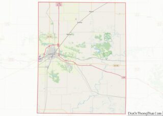
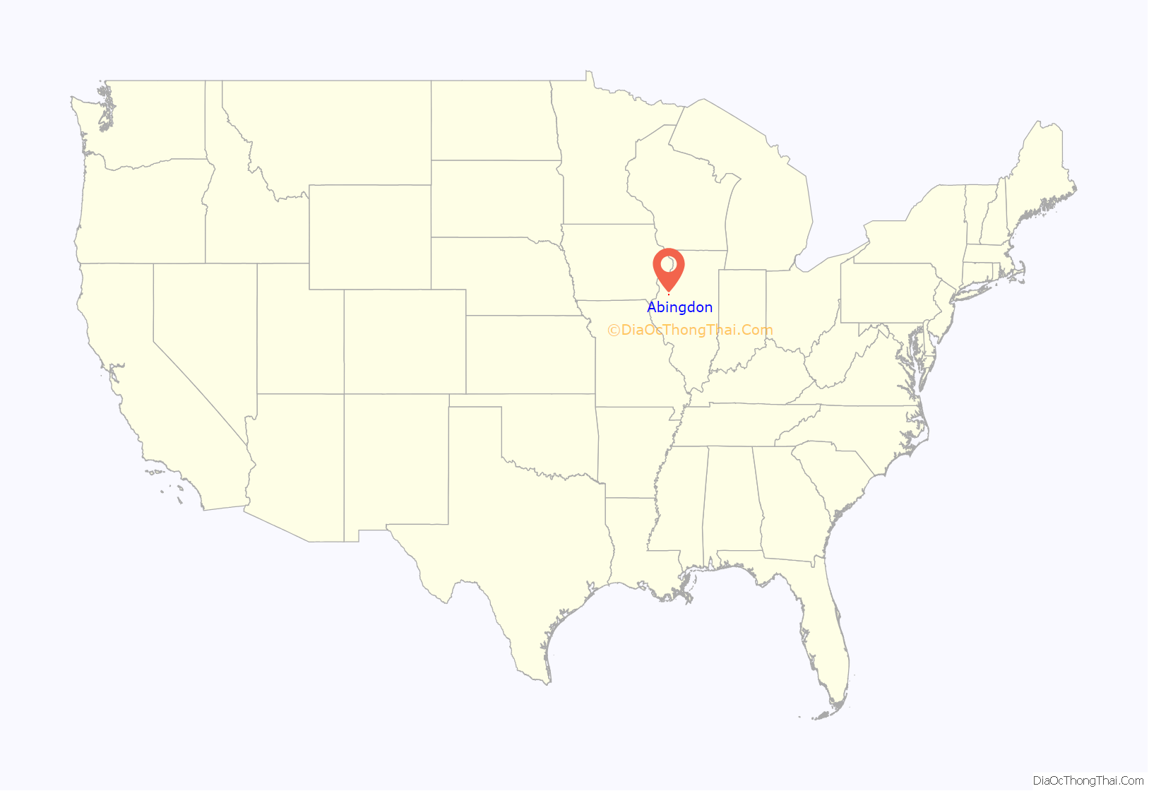
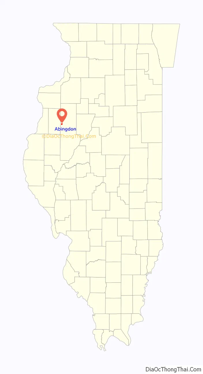
Abingdon location map. Where is Abingdon city?
History
Abingdon was laid out in 1836 and named after Abingdon, Maryland, the native home of a first settler.
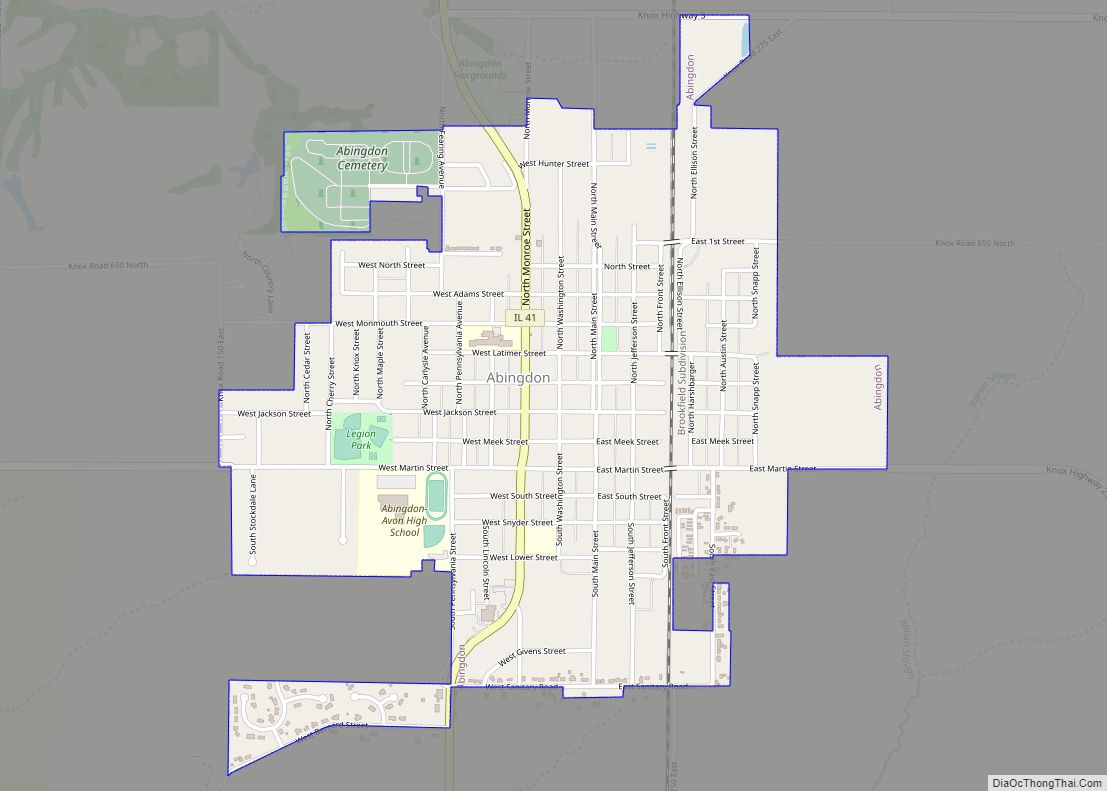
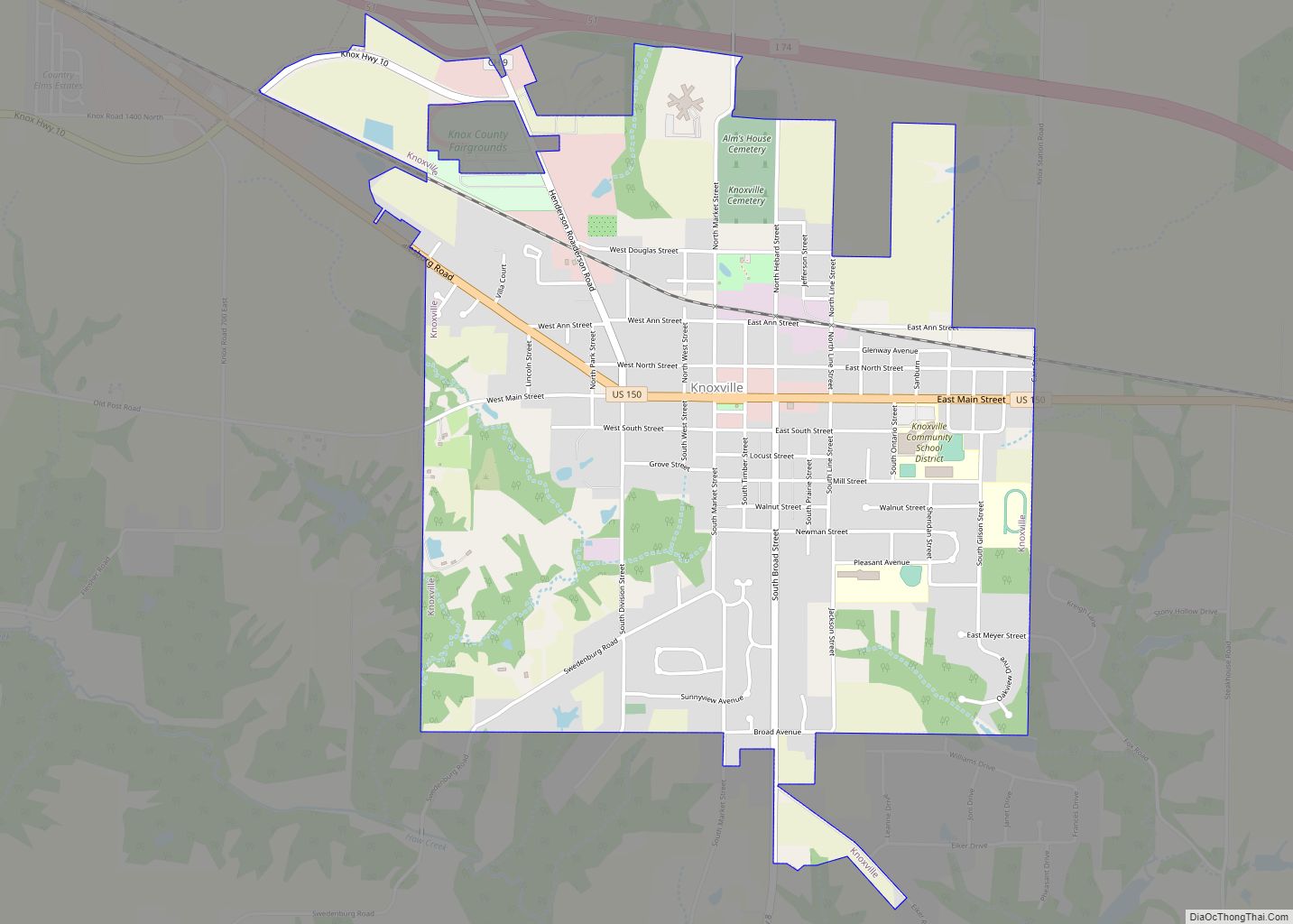
Abingdon Road Map
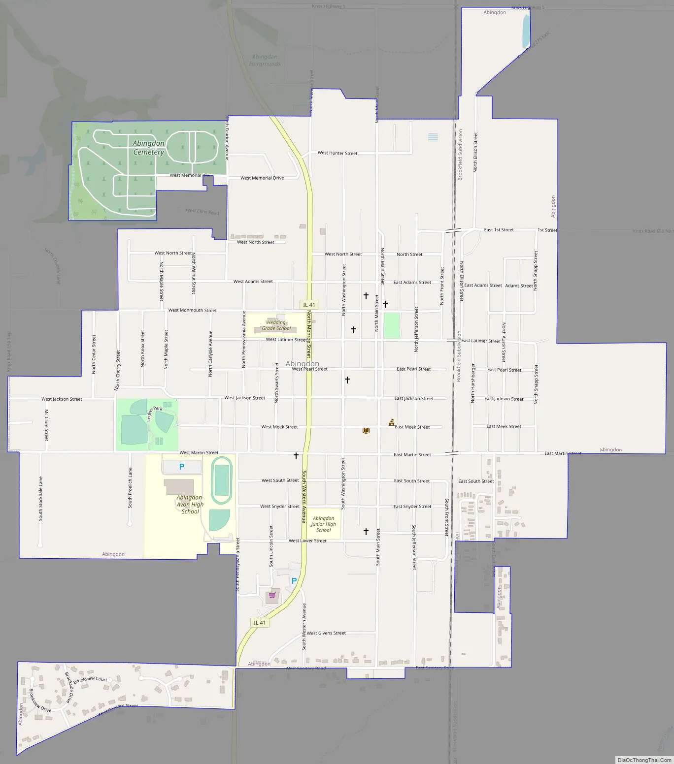
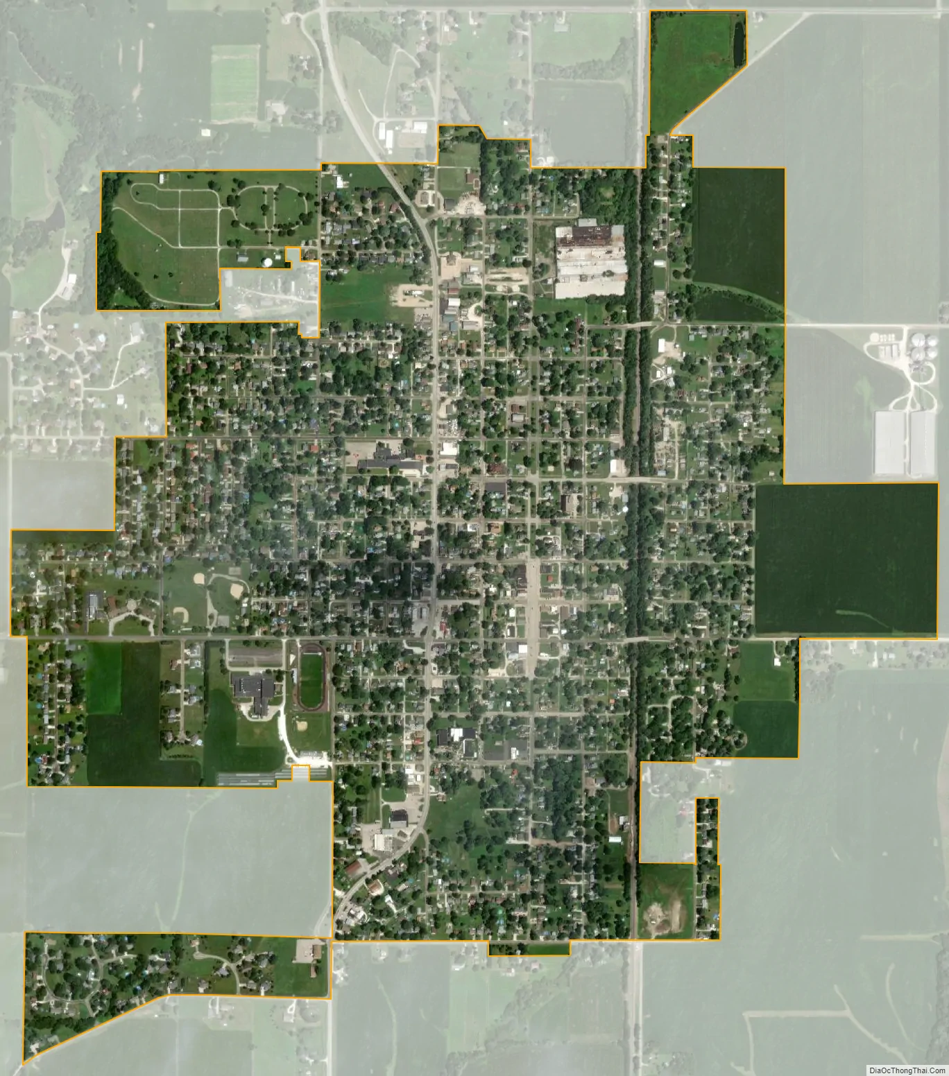
Abingdon city Satellite Map
Geography
Abingdon is located in southwestern Knox County. Illinois Route 41 passes through the center of the city, leading north 11 miles (18 km) to Galesburg, the county seat, and south 20 miles (32 km) to Bushnell.
According to the 2010 census, Abingdon has a total area of 1.46 square miles (3.78 km), all land.
See also
Map of Illinois State and its subdivision:- Adams
- Alexander
- Bond
- Boone
- Brown
- Bureau
- Calhoun
- Carroll
- Cass
- Champaign
- Christian
- Clark
- Clay
- Clinton
- Coles
- Cook
- Crawford
- Cumberland
- De Kalb
- De Witt
- Douglas
- Dupage
- Edgar
- Edwards
- Effingham
- Fayette
- Ford
- Franklin
- Fulton
- Gallatin
- Greene
- Grundy
- Hamilton
- Hancock
- Hardin
- Henderson
- Henry
- Iroquois
- Jackson
- Jasper
- Jefferson
- Jersey
- Jo Daviess
- Johnson
- Kane
- Kankakee
- Kendall
- Knox
- La Salle
- Lake
- Lake Michigan
- Lawrence
- Lee
- Livingston
- Logan
- Macon
- Macoupin
- Madison
- Marion
- Marshall
- Mason
- Massac
- McDonough
- McHenry
- McLean
- Menard
- Mercer
- Monroe
- Montgomery
- Morgan
- Moultrie
- Ogle
- Peoria
- Perry
- Piatt
- Pike
- Pope
- Pulaski
- Putnam
- Randolph
- Richland
- Rock Island
- Saint Clair
- Saline
- Sangamon
- Schuyler
- Scott
- Shelby
- Stark
- Stephenson
- Tazewell
- Union
- Vermilion
- Wabash
- Warren
- Washington
- Wayne
- White
- Whiteside
- Will
- Williamson
- Winnebago
- Woodford
- Alabama
- Alaska
- Arizona
- Arkansas
- California
- Colorado
- Connecticut
- Delaware
- District of Columbia
- Florida
- Georgia
- Hawaii
- Idaho
- Illinois
- Indiana
- Iowa
- Kansas
- Kentucky
- Louisiana
- Maine
- Maryland
- Massachusetts
- Michigan
- Minnesota
- Mississippi
- Missouri
- Montana
- Nebraska
- Nevada
- New Hampshire
- New Jersey
- New Mexico
- New York
- North Carolina
- North Dakota
- Ohio
- Oklahoma
- Oregon
- Pennsylvania
- Rhode Island
- South Carolina
- South Dakota
- Tennessee
- Texas
- Utah
- Vermont
- Virginia
- Washington
- West Virginia
- Wisconsin
- Wyoming