Algonquin is a village in McHenry and Kane counties, Illinois, in the United States. It is a suburb of Chicago, located approximately 40 miles (64 km) northwest of the Loop. As of the 2020 census, the village’s population was 29,700.
The village is known as “The Gem of the Fox River Valley”, referring to the location of its downtown.
| Name: | Algonquin village |
|---|---|
| LSAD Code: | 47 |
| LSAD Description: | village (suffix) |
| State: | Illinois |
| County: | Kane County, McHenry County |
| Incorporated: | 1890 |
| Total Area: | 12.34 sq mi (31.96 km²) |
| Land Area: | 12.14 sq mi (31.43 km²) |
| Water Area: | 0.20 sq mi (0.52 km²) |
| Total Population: | 29,700 |
| Population Density: | 2,447.06/sq mi (944.82/km²) |
| Area code: | 847 & 224 |
| FIPS code: | 1700685 |
| Website: | www.algonquin.org |
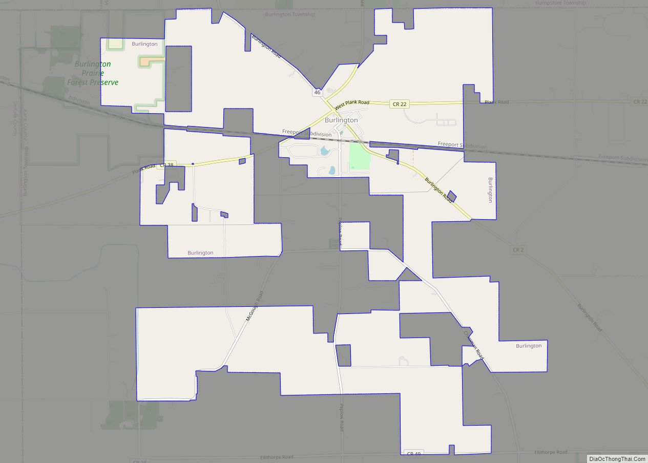
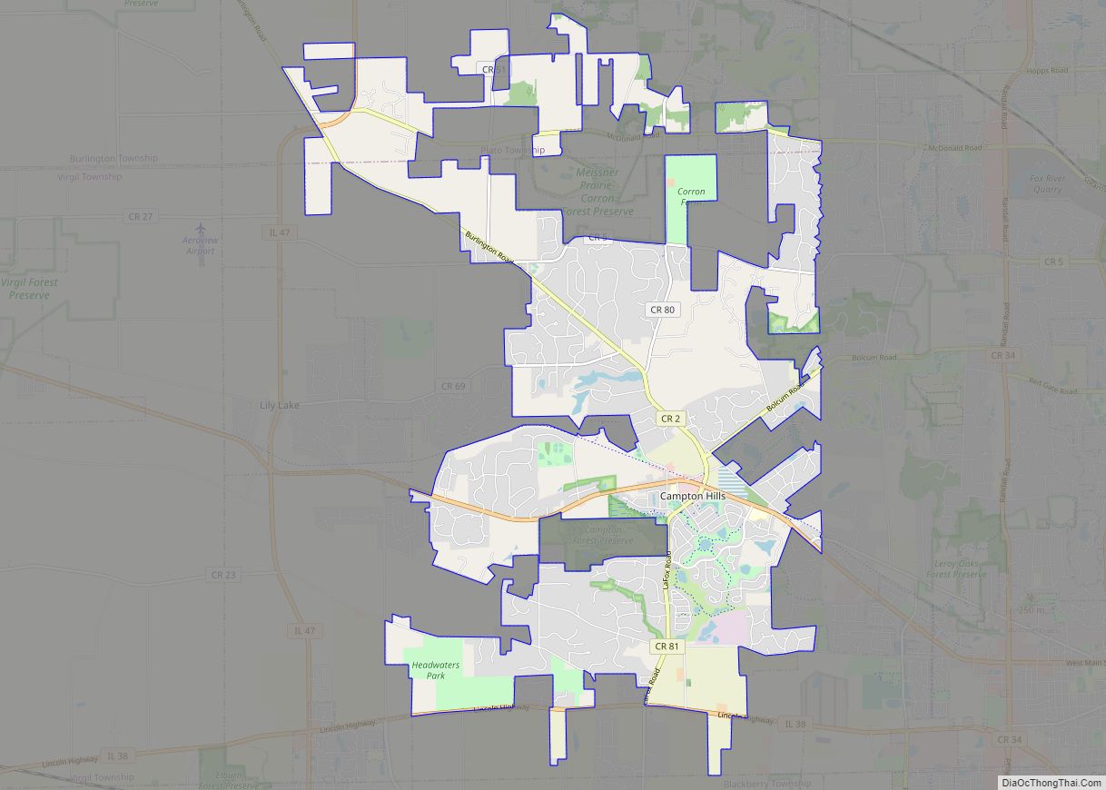
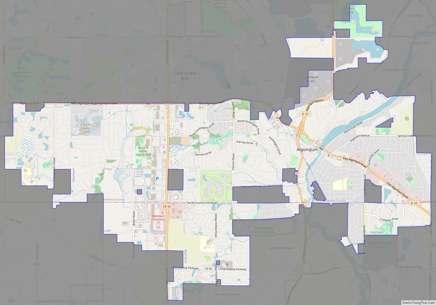
Online Interactive Map
Click on ![]() to view map in "full screen" mode.
to view map in "full screen" mode.
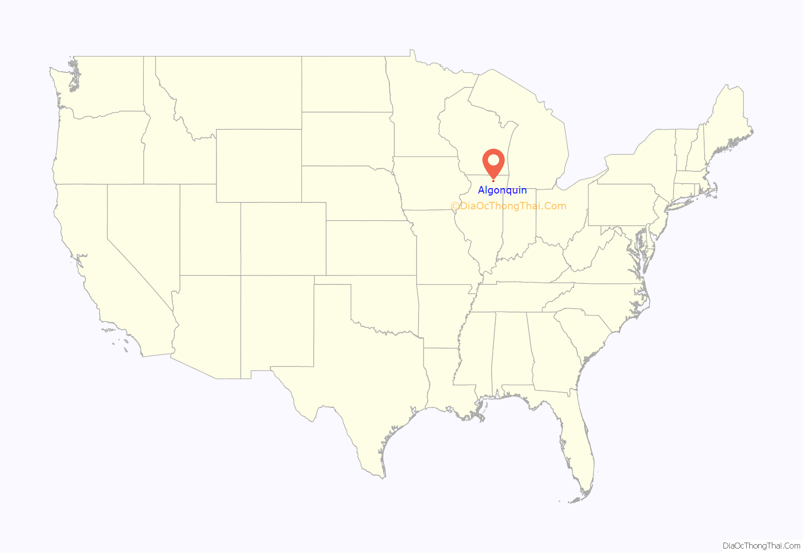
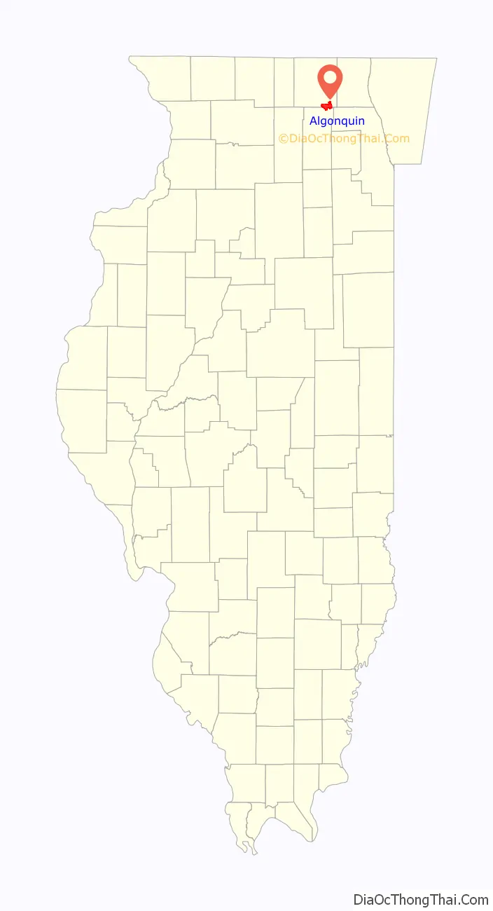
Algonquin location map. Where is Algonquin village?
History
Long before Europeans settled in Algonquin, the Potawatomi Native Americans originally inhabited the land. Algonquin was the location of Indian burial mounds known in the 1800s as the Algonquin Mounds. By 1834 the first settler of Algonquin, Samuel Gillilan, came to the area from Virginia. Settlers Dr. Cornish, Dr. Plumleigh, Eli Henderson, Alex Dawson, and William Jackson arrived shortly thereafter. There was some dispute regarding the original name of Algonquin, and numerous other names were suggested including Denny’s Ferry, Cornish Ferry, Cornishville, and Osceola. But Samuel Edwards suggested the name Algonquin and on December 23, 1847, the name Algonquin became official.
The first signs of economic growth occurred in 1855 when the town saw the construction of the railroad, which enabled farmers in the neighboring area to have other means of getting their products to the markets in Chicago. Finally on February 25, 1890, the Village of Algonquin was formed.
The Village Hall of Algonquin was erected on January 31, 1907, at 2 South Main Street, and is still standing today, where it functions as a historical landmark and community gathering place. It served as the village hall of Algonquin until a new village hall was built at 2200 Harnish Drive in 1996.
From 1906 to 1913, the automobile companies began to go to the Algonquin Hill Climbs, which was an event where if an automobile was able to make it up a series of steep hills in the village, it would be given the stamp of approval. And because of that, the Algonquin Cup was formed which received national recognition at the time. The two hills used in the race were the Phillips Hill which extends from Illinois Route 31 to the cemetery and Perry Hill, located south of downtown, and which is now Lundstrom Lane. The village created a new hill for the race called Huntington Hill, which is now Huntington Drive. A park stands in place of the finish line of Huntington Hill at the intersection of Huntington Drive and Circle Drive which is called Hill Climb Park. The festival in recognition of the event continues to be held each year.
Algonquin road route 62 now, was once noted as the first bridge to be installed on an incline. The first bridge was level with a steep incline headed east. It was later replaced with a 4 lane bridge with an incline to reduce stress on vehicles headed east.
For much of the 20th century, Algonquin was a quasi-resort town and people from the Chicago area would visit the town in order to escape urban life. The Fox River offered immense recreational opportunities and several summer homes were constructed. Soon, more people began living in Algonquin year-round. Algonquin remained a small town for much of the 20th Century, growing steadily, until the 1980s, when the village’s population exploded with new residential construction. The development continued in earnest in the 1990s and 2000s. The village’s first shopping center, Algonquin Town Center, was constructed in the late 1980s on East Algonquin Road and numerous die & mold industries were established west of downtown. In the 1990s, development shifted to Randall Road, which saw the construction of numerous retailers, restaurants, and services, beginning in 1993. In 2004, the 80-store Algonquin Commons outdoor mall (the largest outdoor mall in Illinois) opened for business, followed by the Algonquin Galleria outdoor mall, which is under development and saw its first stores open in 2006. In the mid-2000s, development also began on the Algonquin Corporate Campus, which is slated to include industrial and office development spread over 1,000 acres (4.0 km) on the southwest side of the village, bringing hundreds of high-paying jobs to the area.
Algonquin Road Map
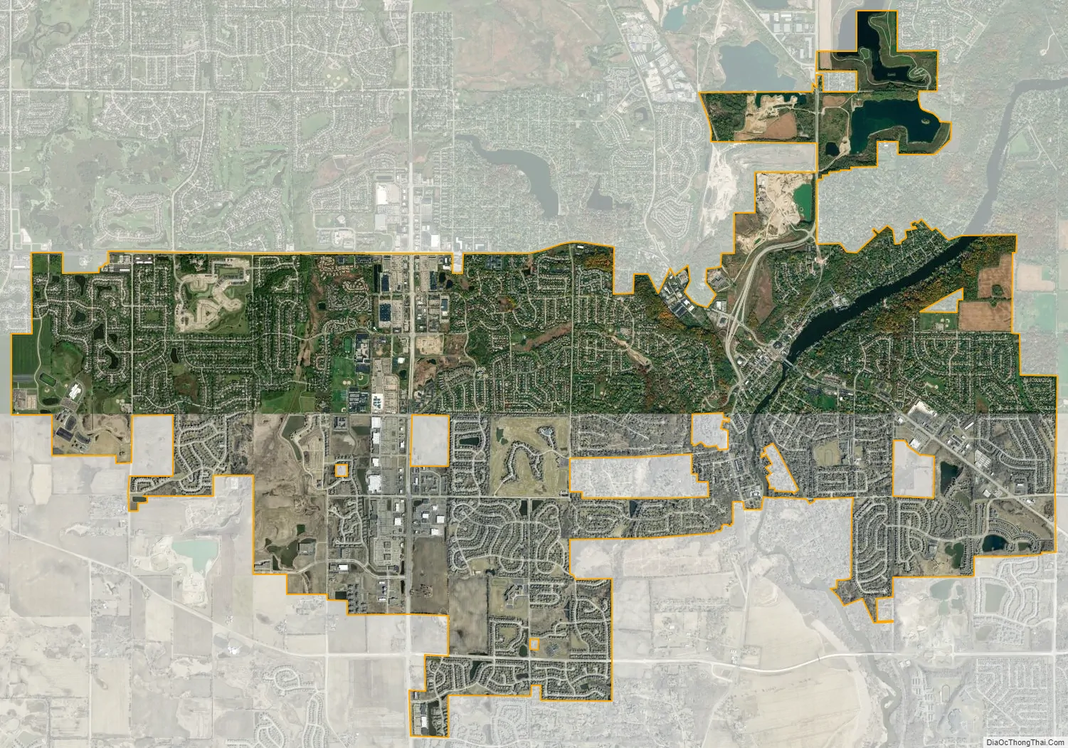
Algonquin city Satellite Map
Geography
Algonquin is located in southeastern McHenry County and northeastern Kane County at 42°9′46″N 88°18′9″W / 42.16278°N 88.30250°W / 42.16278; -88.30250 (42.162741, −88.302571). It is bordered to the north by Lake in the Hills, to the northeast by Cary, to the east by Barrington Hills, and to the south by Carpentersville.
As of the 2010 census, Algonquin had a total area of 12.41 square miles (32.14 km), of which 12.23 square miles (31.68 km) (or 98.55%) were land and 0.18 square miles (0.47 km), or 1.45%, were water. Approximately 78% of the village area is in McHenry County, with the remainder in Kane County.
See also
Map of Illinois State and its subdivision:- Adams
- Alexander
- Bond
- Boone
- Brown
- Bureau
- Calhoun
- Carroll
- Cass
- Champaign
- Christian
- Clark
- Clay
- Clinton
- Coles
- Cook
- Crawford
- Cumberland
- De Kalb
- De Witt
- Douglas
- Dupage
- Edgar
- Edwards
- Effingham
- Fayette
- Ford
- Franklin
- Fulton
- Gallatin
- Greene
- Grundy
- Hamilton
- Hancock
- Hardin
- Henderson
- Henry
- Iroquois
- Jackson
- Jasper
- Jefferson
- Jersey
- Jo Daviess
- Johnson
- Kane
- Kankakee
- Kendall
- Knox
- La Salle
- Lake
- Lake Michigan
- Lawrence
- Lee
- Livingston
- Logan
- Macon
- Macoupin
- Madison
- Marion
- Marshall
- Mason
- Massac
- McDonough
- McHenry
- McLean
- Menard
- Mercer
- Monroe
- Montgomery
- Morgan
- Moultrie
- Ogle
- Peoria
- Perry
- Piatt
- Pike
- Pope
- Pulaski
- Putnam
- Randolph
- Richland
- Rock Island
- Saint Clair
- Saline
- Sangamon
- Schuyler
- Scott
- Shelby
- Stark
- Stephenson
- Tazewell
- Union
- Vermilion
- Wabash
- Warren
- Washington
- Wayne
- White
- Whiteside
- Will
- Williamson
- Winnebago
- Woodford
- Alabama
- Alaska
- Arizona
- Arkansas
- California
- Colorado
- Connecticut
- Delaware
- District of Columbia
- Florida
- Georgia
- Hawaii
- Idaho
- Illinois
- Indiana
- Iowa
- Kansas
- Kentucky
- Louisiana
- Maine
- Maryland
- Massachusetts
- Michigan
- Minnesota
- Mississippi
- Missouri
- Montana
- Nebraska
- Nevada
- New Hampshire
- New Jersey
- New Mexico
- New York
- North Carolina
- North Dakota
- Ohio
- Oklahoma
- Oregon
- Pennsylvania
- Rhode Island
- South Carolina
- South Dakota
- Tennessee
- Texas
- Utah
- Vermont
- Virginia
- Washington
- West Virginia
- Wisconsin
- Wyoming