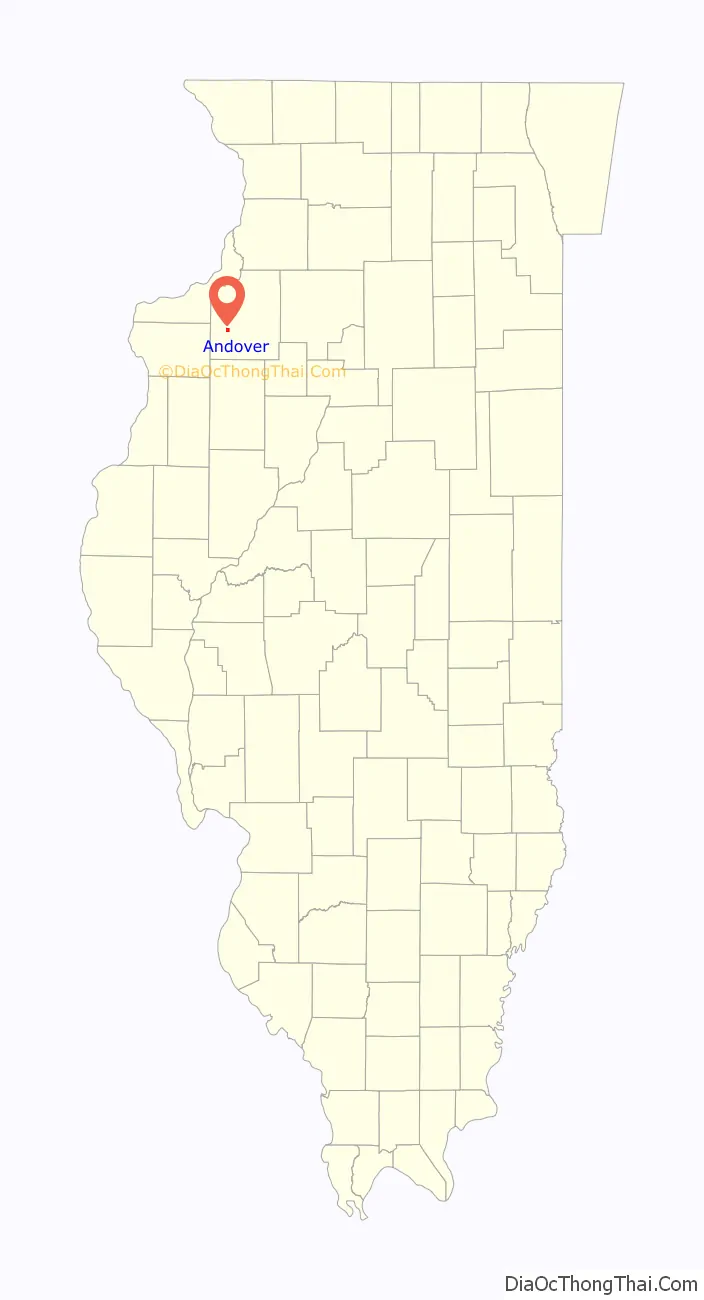
Andover is a village in Henry County, Illinois, United States. The population was 578 at the 2010 census, down from 594 in 2000.
| Name: | Andover village |
|---|---|
| LSAD Code: | 47 |
| LSAD Description: | village (suffix) |
| State: | Illinois |
| County: | Henry County |
| Total Area: | 0.99 sq mi (2.57 km²) |
| Land Area: | 0.99 sq mi (2.57 km²) |
| Water Area: | 0.00 sq mi (0.00 km²) |
| Total Population: | 555 |
| Population Density: | 560.04/sq mi (216.20/km²) |
| Area code: | 309 |
| FIPS code: | 1701491 |
| Website: | www.andoveril.org |
Online Interactive Map
Click on ![]() to view map in "full screen" mode.
to view map in "full screen" mode.
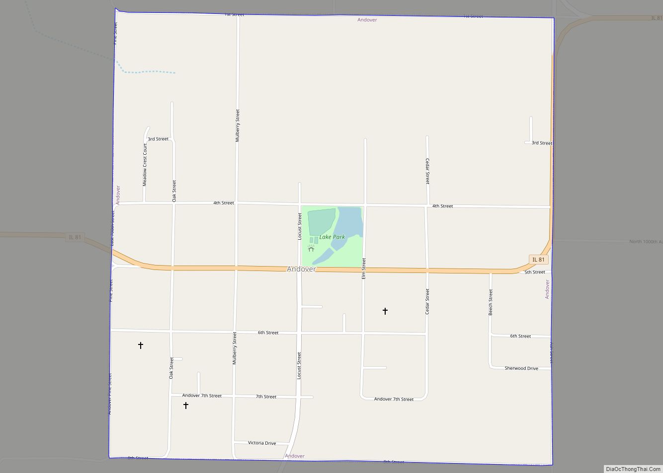
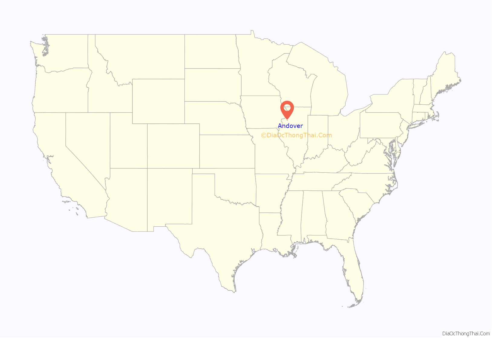
Andover location map. Where is Andover village?
History
Andover is the oldest community in Henry County. Andover was the first area to be settled as a town within the county and the first mill was built in 1836-37. Andover some became a hub of wagon trails.
Andover was founded in September, 1835 by the Reverend Ithamar Pillsbury, as an agent for the Andover Colony. Pillsbury, who had been a corporal in the War of 1812 attached in the New Hampshire military, narrowly escaping death in the war which had convinced him to become a Presbyterian minister.
Lars Paul Esbjörn, a Swedish Lutheran minister in the United States, and a group of Swedish immigrants arrived in Andover during 1849. Together they built Jenny Lind Chapel, which became the “mother church” of the Swedish Lutheran community. The church was built with funding provided mainly by the Swedish singer, Jenny Lind, while she was at that time on a concert tour in the eastern United States. The cemetery adjacent to the Chapel is the resting place of Jonas Swensson, the second president of the Augustana Synod.
After remodeling in 1948, Jenny Lind Chapel was dedicated as a shrine of the Augustana Evangelical Lutheran Church. In 1975, Jenny Lind Chapel was declared to be a National Historic Site and was listed in the National Register of Historic Places.
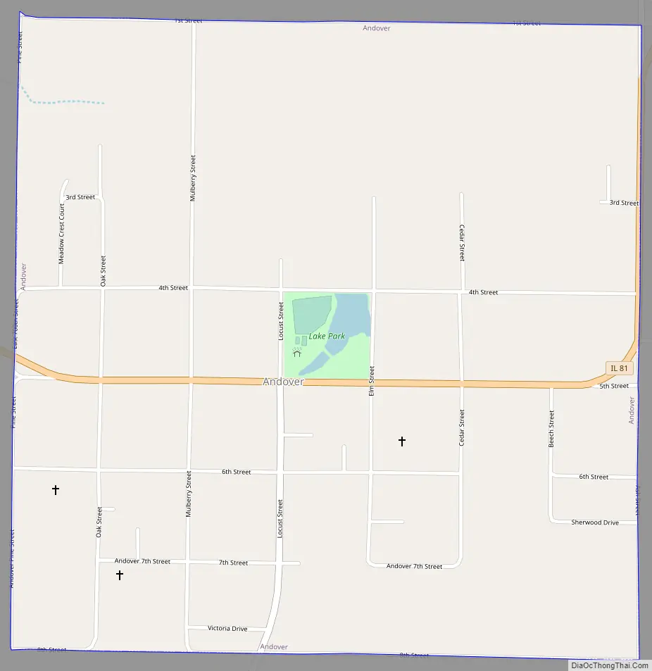
Andover Road Map
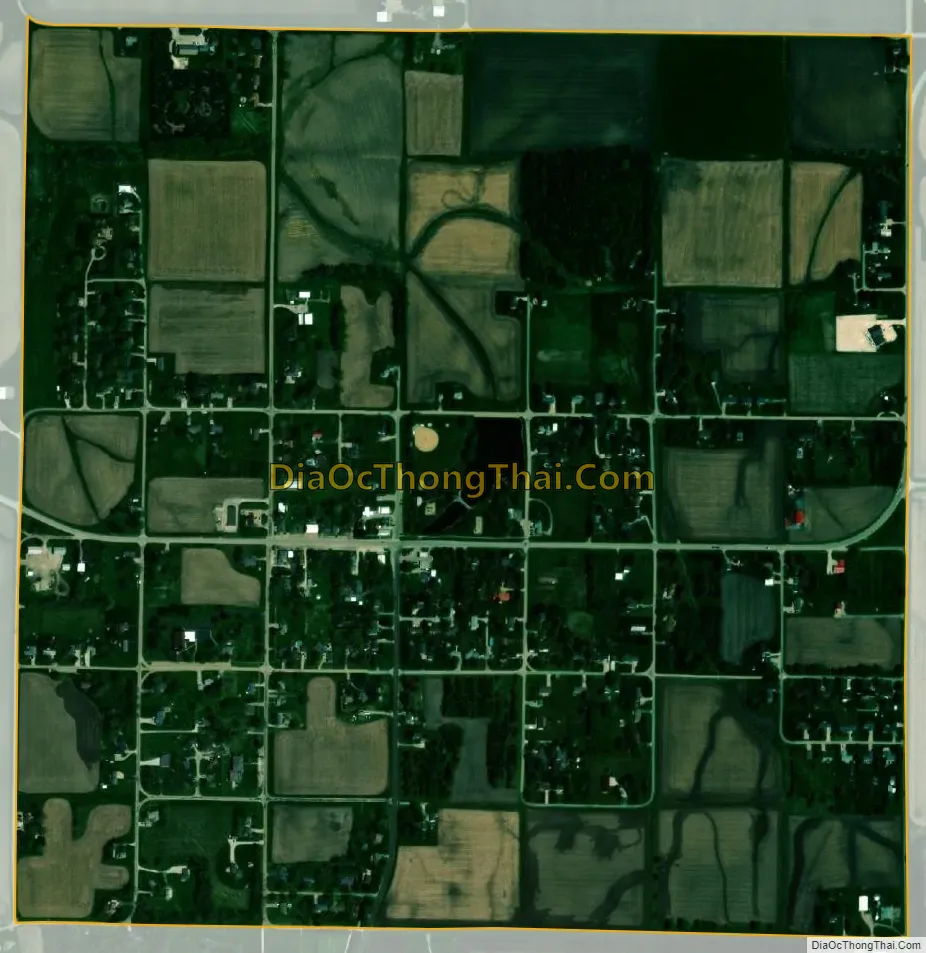
Andover city Satellite Map
Geography
Andover is located at 41°17′42″N 90°17′26″W / 41.29500°N 90.29056°W / 41.29500; -90.29056 (41.295011, -90.290658).
According to the 2010 census, Andover has a total area of 0.99 square miles (2.56 km), all land.
See also
Map of Illinois State and its subdivision:- Adams
- Alexander
- Bond
- Boone
- Brown
- Bureau
- Calhoun
- Carroll
- Cass
- Champaign
- Christian
- Clark
- Clay
- Clinton
- Coles
- Cook
- Crawford
- Cumberland
- De Kalb
- De Witt
- Douglas
- Dupage
- Edgar
- Edwards
- Effingham
- Fayette
- Ford
- Franklin
- Fulton
- Gallatin
- Greene
- Grundy
- Hamilton
- Hancock
- Hardin
- Henderson
- Henry
- Iroquois
- Jackson
- Jasper
- Jefferson
- Jersey
- Jo Daviess
- Johnson
- Kane
- Kankakee
- Kendall
- Knox
- La Salle
- Lake
- Lake Michigan
- Lawrence
- Lee
- Livingston
- Logan
- Macon
- Macoupin
- Madison
- Marion
- Marshall
- Mason
- Massac
- McDonough
- McHenry
- McLean
- Menard
- Mercer
- Monroe
- Montgomery
- Morgan
- Moultrie
- Ogle
- Peoria
- Perry
- Piatt
- Pike
- Pope
- Pulaski
- Putnam
- Randolph
- Richland
- Rock Island
- Saint Clair
- Saline
- Sangamon
- Schuyler
- Scott
- Shelby
- Stark
- Stephenson
- Tazewell
- Union
- Vermilion
- Wabash
- Warren
- Washington
- Wayne
- White
- Whiteside
- Will
- Williamson
- Winnebago
- Woodford
- Alabama
- Alaska
- Arizona
- Arkansas
- California
- Colorado
- Connecticut
- Delaware
- District of Columbia
- Florida
- Georgia
- Hawaii
- Idaho
- Illinois
- Indiana
- Iowa
- Kansas
- Kentucky
- Louisiana
- Maine
- Maryland
- Massachusetts
- Michigan
- Minnesota
- Mississippi
- Missouri
- Montana
- Nebraska
- Nevada
- New Hampshire
- New Jersey
- New Mexico
- New York
- North Carolina
- North Dakota
- Ohio
- Oklahoma
- Oregon
- Pennsylvania
- Rhode Island
- South Carolina
- South Dakota
- Tennessee
- Texas
- Utah
- Vermont
- Virginia
- Washington
- West Virginia
- Wisconsin
- Wyoming