Apple Canyon Lake is a census-designated place in Jo Daviess County, Illinois, United States. Its population was 558 as of the 2010 census.
| Name: | Apple Canyon Lake CDP |
|---|---|
| LSAD Code: | 57 |
| LSAD Description: | CDP (suffix) |
| State: | Illinois |
| County: | Jo Daviess County |
| Elevation: | 853 ft (260 m) |
| Total Area: | 4.37 sq mi (11.32 km²) |
| Land Area: | 3.72 sq mi (9.62 km²) |
| Water Area: | 0.66 sq mi (1.70 km²) |
| Total Population: | 574 |
| Population Density: | 154.47/sq mi (59.64/km²) |
| FIPS code: | 1701647 |
| GNISfeature ID: | 2629890 |
Online Interactive Map
Click on ![]() to view map in "full screen" mode.
to view map in "full screen" mode.
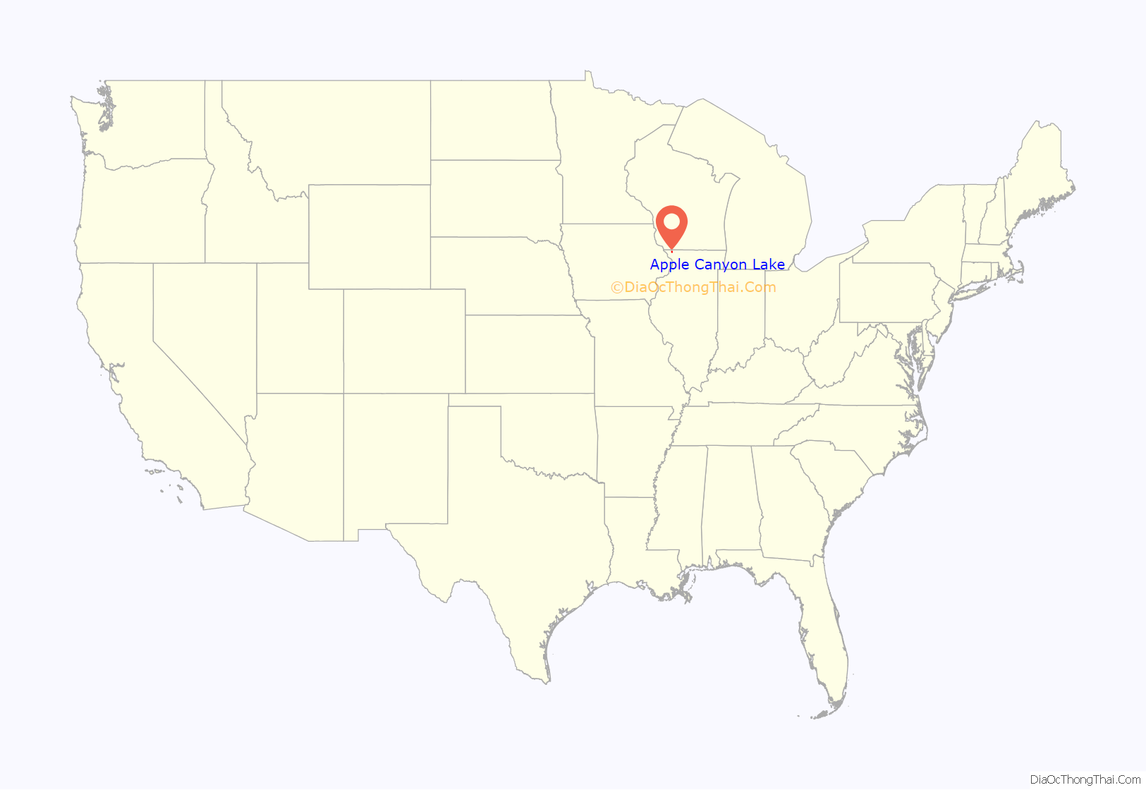
Apple Canyon Lake location map. Where is Apple Canyon Lake CDP?
History
Apple Canyon Lake is a planned vacation community developed in the late 1960s by the Branigar Organization of Medinah, Illinois. Branigar had developed similar vacation home projects in Wisconsin: Dutch Hollow Lake and Lake Redstone where Branigar built a dam along a stream and then sold water front vacation lots. Branigar assembled the 2,700 acres (1,100 ha) of land in Jo Daviess County, Illinois that was considered by farmers as marginal pasture land due to the steep inclines and rocky out croppings of limestone. An interesting aspect of the development is that 85 percent of the 15 miles of shore line is unsubdivided and is to remain green space. This provides lake access to those lots not on the shoreline. In addition, the main road is set back from the lake with lots accessible via cul de sacs.
In the summer of 1969, Branigar began constructing the Apple Canyon Lake dam which would ultimately create a 400-acre lake with an average depth of 40 feet. In addition, a club house, pool, golf course, marina and private airport were built in order to attract potential lot buyers. By the fall of 1969, Branigar was heavily marketing the Apple Canyon Lake vacation lots in the Chicago market. The 2,200 individual lots ranged in size from one-half to two acres (0.20 to 0.81 ha) with water and underground electricity/phone servicing each lot. Lot prices ranged from $12,000 to $34,000 in 1969.
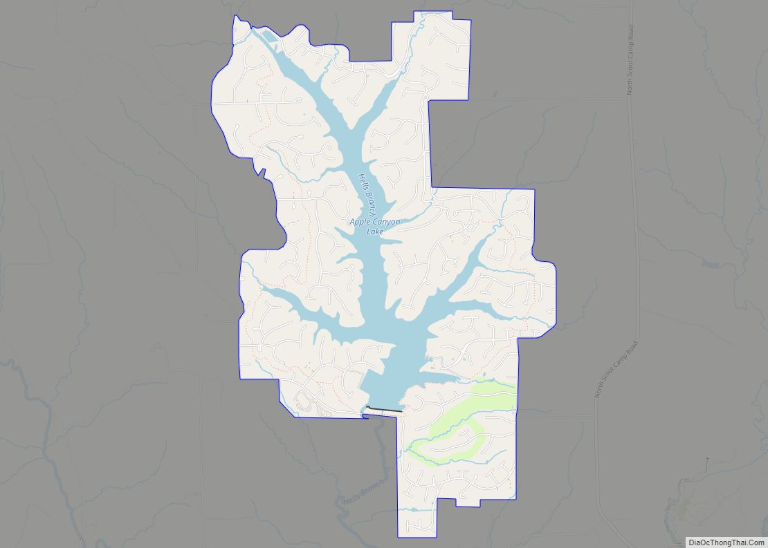
Apple Canyon Lake Road Map
Apple Canyon Lake city Satellite Map
See also
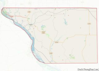
Map of Illinois State and its subdivision:- Adams
- Alexander
- Bond
- Boone
- Brown
- Bureau
- Calhoun
- Carroll
- Cass
- Champaign
- Christian
- Clark
- Clay
- Clinton
- Coles
- Cook
- Crawford
- Cumberland
- De Kalb
- De Witt
- Douglas
- Dupage
- Edgar
- Edwards
- Effingham
- Fayette
- Ford
- Franklin
- Fulton
- Gallatin
- Greene
- Grundy
- Hamilton
- Hancock
- Hardin
- Henderson
- Henry
- Iroquois
- Jackson
- Jasper
- Jefferson
- Jersey
- Jo Daviess
- Johnson
- Kane
- Kankakee
- Kendall
- Knox
- La Salle
- Lake
- Lake Michigan
- Lawrence
- Lee
- Livingston
- Logan
- Macon
- Macoupin
- Madison
- Marion
- Marshall
- Mason
- Massac
- McDonough
- McHenry
- McLean
- Menard
- Mercer
- Monroe
- Montgomery
- Morgan
- Moultrie
- Ogle
- Peoria
- Perry
- Piatt
- Pike
- Pope
- Pulaski
- Putnam
- Randolph
- Richland
- Rock Island
- Saint Clair
- Saline
- Sangamon
- Schuyler
- Scott
- Shelby
- Stark
- Stephenson
- Tazewell
- Union
- Vermilion
- Wabash
- Warren
- Washington
- Wayne
- White
- Whiteside
- Will
- Williamson
- Winnebago
- Woodford
- Alabama
- Alaska
- Arizona
- Arkansas
- California
- Colorado
- Connecticut
- Delaware
- District of Columbia
- Florida
- Georgia
- Hawaii
- Idaho
- Illinois
- Indiana
- Iowa
- Kansas
- Kentucky
- Louisiana
- Maine
- Maryland
- Massachusetts
- Michigan
- Minnesota
- Mississippi
- Missouri
- Montana
- Nebraska
- Nevada
- New Hampshire
- New Jersey
- New Mexico
- New York
- North Carolina
- North Dakota
- Ohio
- Oklahoma
- Oregon
- Pennsylvania
- Rhode Island
- South Carolina
- South Dakota
- Tennessee
- Texas
- Utah
- Vermont
- Virginia
- Washington
- West Virginia
- Wisconsin
- Wyoming
