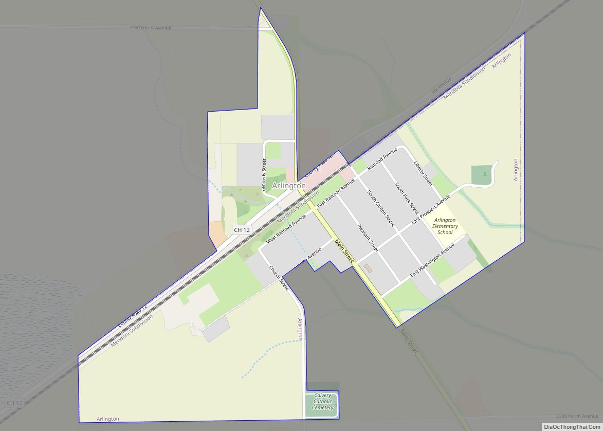
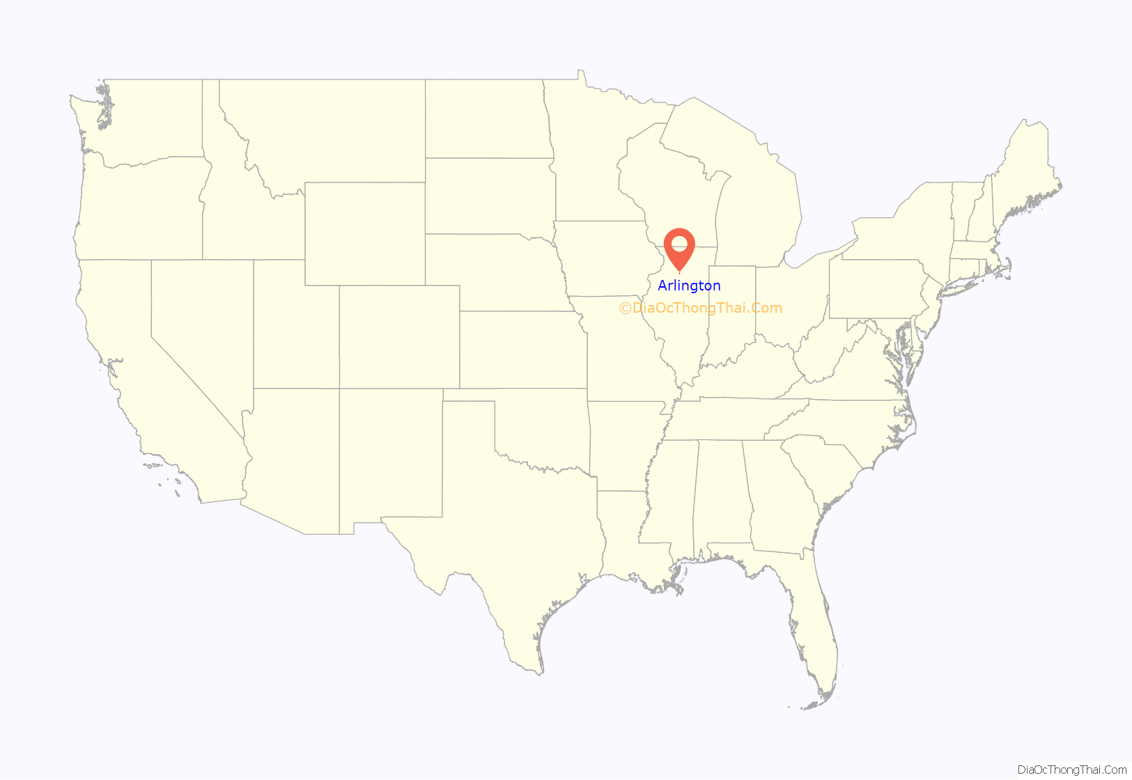
Arlington is a village in Bureau County, Illinois, United States. The population was 169 at the 2020 census. It is part of the Ottawa Micropolitan Statistical Area, located east of the Quad Cities, north of Peoria and Galesburg, west of LaSalle and Peru, and southwest of Rockford and Chicago.
| Name: | Arlington village |
|---|---|
| LSAD Code: | 47 |
| LSAD Description: | village (suffix) |
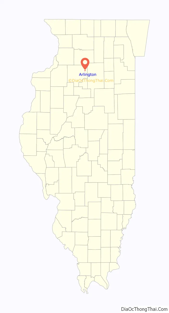
| State: | Illinois |
| County: | Bureau County |
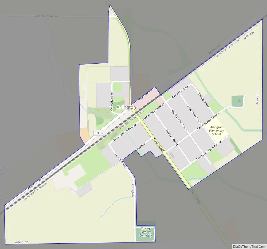
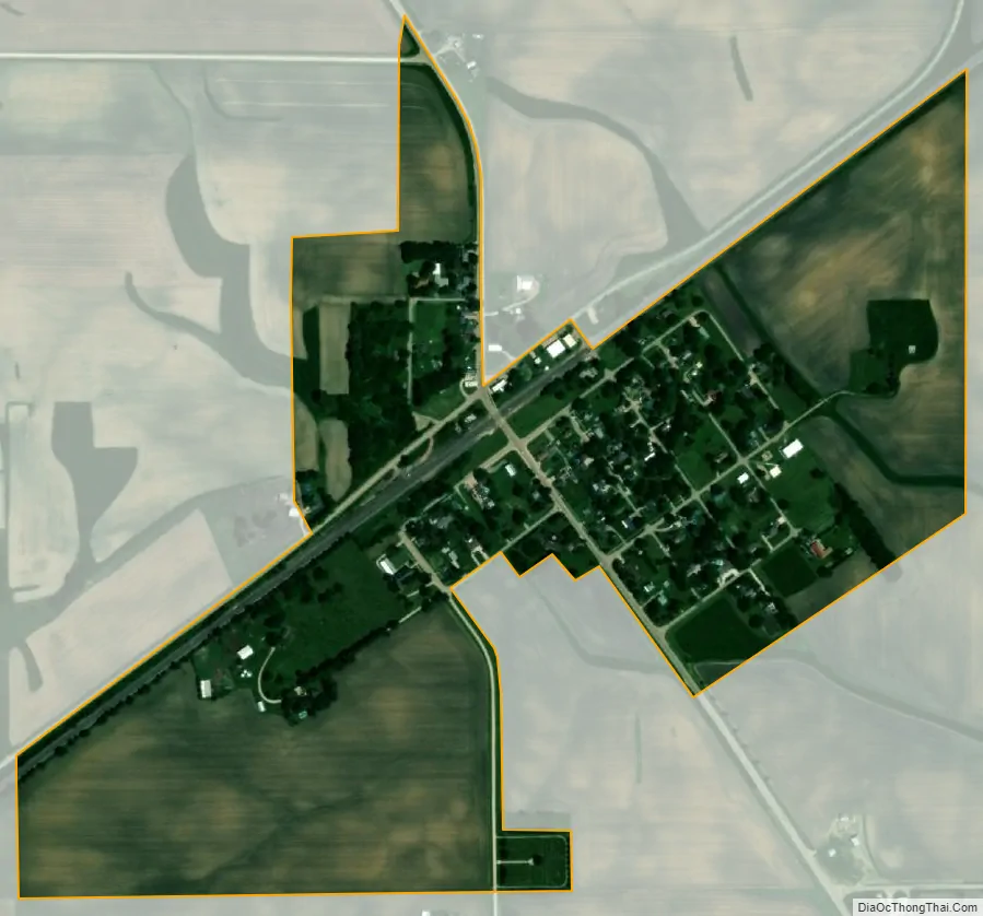
| Total Area: | 0.40 sq mi (1.02 km²) |
| Land Area: | 0.40 sq mi (1.02 km²) |
| Water Area: | 0.00 sq mi (0.00 km²) 0% |
| Total Population: | 169 |
| Population Density: | 427.85/sq mi (165.06/km²) |
| FIPS code: | 1702102 |
Online Interactive Map
Click on ![]() to view map in "full screen" mode.
to view map in "full screen" mode.
Arlington location map. Where is Arlington village?
History
In the early 1900s, Arlington, which was then called “Lost Grove”, was experiencing rapid growth and development. Many companies set up shop to profit from the people flocking to the jobs at the coal mines in this area of Illinois. The businesses included a mattress factory, beer brewery, numerous restaurants, a brothel, and many others. The mayor at the time was from New York, and changed the town’s name to Arlington, after the town of Arlington, New York. Arlington was about the size of Peru, Illinois.
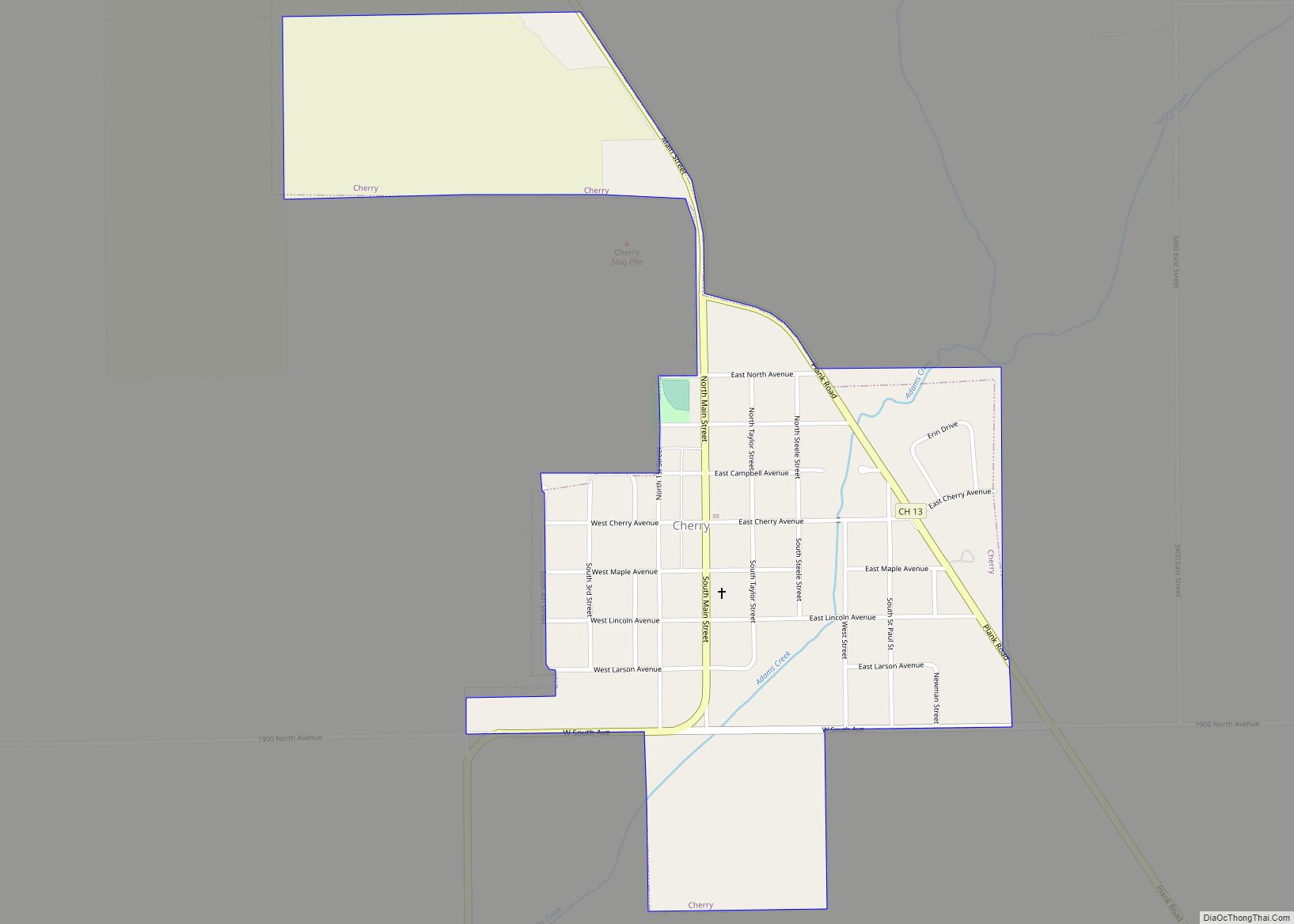
On November 13, 1909, a fire in a mine shaft killed 259 miners, young and old, at the Cherry coal mine. Authorities sealed the mine to contain the fire, trapping many rescue workers inside. When the mine was opened a week later only twenty men had survived of the hundreds involved. The 1909 Cherry Mine disaster influenced early workers’ compensation laws and labor practices in the coal mining industry. At the time Illinois had no laws governing working conditions for miners. Arlington’s growth slowed drastically after this occurrence.
In the 1950s a tornado destroyed most of Arlington. Many people moved away from the town at this time. Today Arlington has a population of less than 200. Many of the businesses and most of the homes have been shut down, deserted, or demolished. Many areas previously inhabited are now corn and bean fields. Some of the abandoned homes’ foundations, and evidence of their former occupants, are still visible in these fields.
Arlington Road Map
Arlington city Satellite Map
Geography
Arlington is located at 41°28′20″N 89°14′49″W / 41.47222°N 89.24694°W / 41.47222; -89.24694 (41.472353, -89.246989).
According to the 2021 census gazetteer files, Arlington has a total area of 0.40 square miles (1.04 km), all land.
See also
Map of Illinois State and its subdivision:- Adams
- Alexander
- Bond
- Boone
- Brown
- Bureau
- Calhoun
- Carroll
- Cass
- Champaign
- Christian
- Clark
- Clay
- Clinton
- Coles
- Cook
- Crawford
- Cumberland
- De Kalb
- De Witt
- Douglas
- Dupage
- Edgar
- Edwards
- Effingham
- Fayette
- Ford
- Franklin
- Fulton
- Gallatin
- Greene
- Grundy
- Hamilton
- Hancock
- Hardin
- Henderson
- Henry
- Iroquois
- Jackson
- Jasper
- Jefferson
- Jersey
- Jo Daviess
- Johnson
- Kane
- Kankakee
- Kendall
- Knox
- La Salle
- Lake
- Lake Michigan
- Lawrence
- Lee
- Livingston
- Logan
- Macon
- Macoupin
- Madison
- Marion
- Marshall
- Mason
- Massac
- McDonough
- McHenry
- McLean
- Menard
- Mercer
- Monroe
- Montgomery
- Morgan
- Moultrie
- Ogle
- Peoria
- Perry
- Piatt
- Pike
- Pope
- Pulaski
- Putnam
- Randolph
- Richland
- Rock Island
- Saint Clair
- Saline
- Sangamon
- Schuyler
- Scott
- Shelby
- Stark
- Stephenson
- Tazewell
- Union
- Vermilion
- Wabash
- Warren
- Washington
- Wayne
- White
- Whiteside
- Will
- Williamson
- Winnebago
- Woodford
- Alabama
- Alaska
- Arizona
- Arkansas
- California
- Colorado
- Connecticut
- Delaware
- District of Columbia
- Florida
- Georgia
- Hawaii
- Idaho
- Illinois
- Indiana
- Iowa
- Kansas
- Kentucky
- Louisiana
- Maine
- Maryland
- Massachusetts
- Michigan
- Minnesota
- Mississippi
- Missouri
- Montana
- Nebraska
- Nevada
- New Hampshire
- New Jersey
- New Mexico
- New York
- North Carolina
- North Dakota
- Ohio
- Oklahoma
- Oregon
- Pennsylvania
- Rhode Island
- South Carolina
- South Dakota
- Tennessee
- Texas
- Utah
- Vermont
- Virginia
- Washington
- West Virginia
- Wisconsin
- Wyoming