Bartlett is a village located in Cook, DuPage and Kane counties, Illinois. A small parcel on the western border is in Kane County. The population was 41,105 at the 2020 census.
| Name: | Bartlett village |
|---|---|
| LSAD Code: | 47 |
| LSAD Description: | village (suffix) |
| State: | Illinois |
| County: | Cook County, DuPage County, Kane County |
| Incorporated: | 1891 |
| Total Area: | 15.94 sq mi (41.29 km²) |
| Land Area: | 15.75 sq mi (40.79 km²) |
| Water Area: | 0.19 sq mi (0.50 km²) 1.51% |
| Total Population: | 41,105 |
| Population Density: | 2,610.01/sq mi (1,007.71/km²) |
| Area code: | 630 and 331 |
| FIPS code: | 1704013 |
| Website: | village.bartlett.il.us |
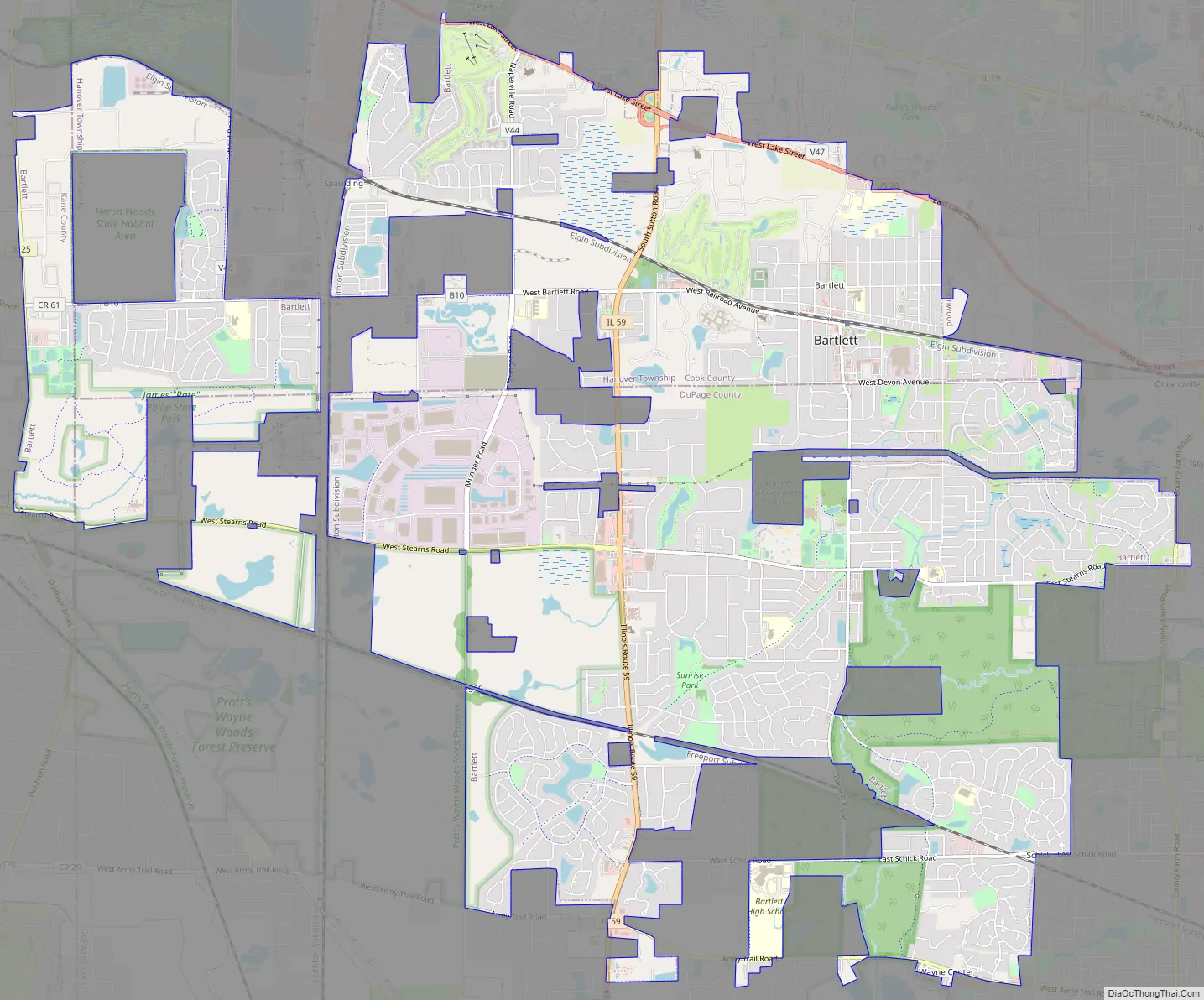
Online Interactive Map
Click on ![]() to view map in "full screen" mode.
to view map in "full screen" mode.
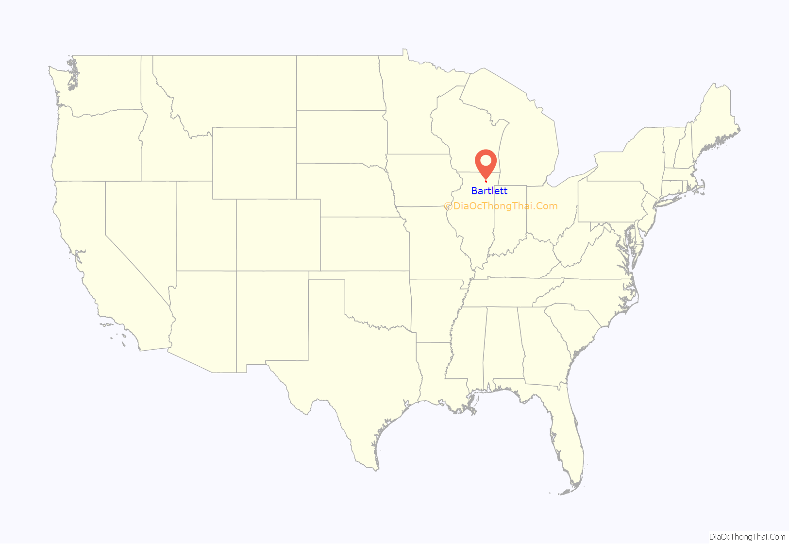
Bartlett location map. Where is Bartlett village?
History
In its earliest times, the Village of Bartlett, Illinois was served as a hunting and camping ground for the Cherokee, Miami, Potawatomi, and Ottawa Indians. Throughout the past, the Northwest Territory, Virginia, Indiana, Spain, France and England had staked their claim for Bartlett. However, the territory was owned by a man named Luther Bartlett. Luther and Sophia Bartlett had decided that a station stop would be beneficial for their town and townspeople. In 1873, Bartlett gave a monetary contribution and half of his 40-acre woodlot towards the construction for a train depot, which is why the town is named after Luther Bartlett. Bartlett later became one of the premiere pig towns, becoming their main export for years to come. A petition for incorporation was filed in Springfield on February 11, 1891. The village was incorporated on June 21, 1892. Bartlett experienced the majority of its population growth in the 1980s.
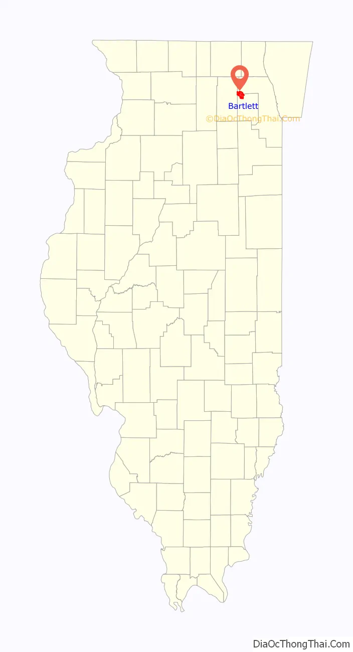
Bartlett Road Map
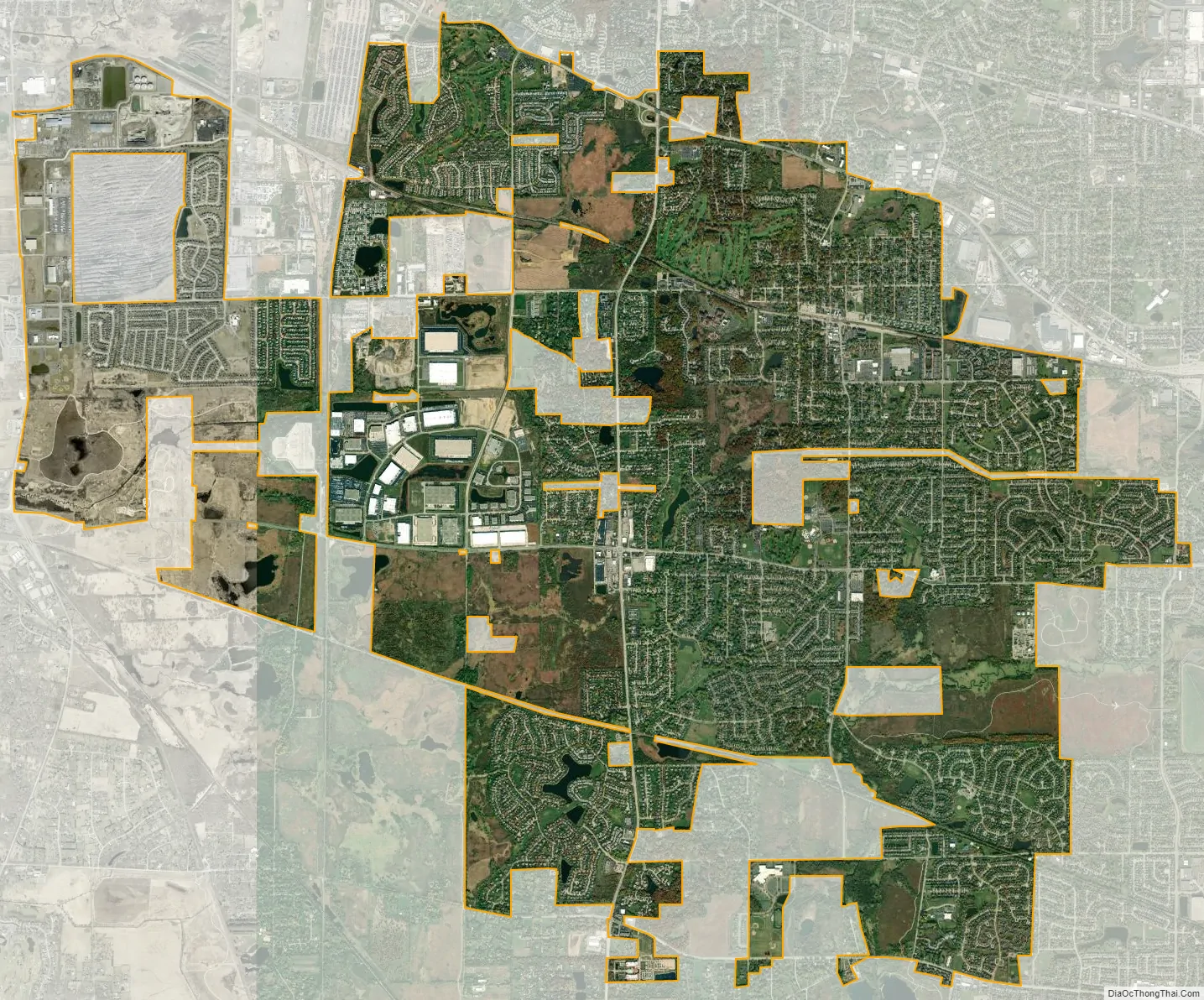
Bartlett city Satellite Map
Geography
According to the 2021 census gazetteer files, Bartlett has a total area of 15.92 square miles (41.23 km), of which 15.73 square miles (40.74 km) (or 98.78%) is land and 0.19 square miles (0.49 km) (or 1.22%) is water.
See also
Map of Illinois State and its subdivision:- Adams
- Alexander
- Bond
- Boone
- Brown
- Bureau
- Calhoun
- Carroll
- Cass
- Champaign
- Christian
- Clark
- Clay
- Clinton
- Coles
- Cook
- Crawford
- Cumberland
- De Kalb
- De Witt
- Douglas
- Dupage
- Edgar
- Edwards
- Effingham
- Fayette
- Ford
- Franklin
- Fulton
- Gallatin
- Greene
- Grundy
- Hamilton
- Hancock
- Hardin
- Henderson
- Henry
- Iroquois
- Jackson
- Jasper
- Jefferson
- Jersey
- Jo Daviess
- Johnson
- Kane
- Kankakee
- Kendall
- Knox
- La Salle
- Lake
- Lake Michigan
- Lawrence
- Lee
- Livingston
- Logan
- Macon
- Macoupin
- Madison
- Marion
- Marshall
- Mason
- Massac
- McDonough
- McHenry
- McLean
- Menard
- Mercer
- Monroe
- Montgomery
- Morgan
- Moultrie
- Ogle
- Peoria
- Perry
- Piatt
- Pike
- Pope
- Pulaski
- Putnam
- Randolph
- Richland
- Rock Island
- Saint Clair
- Saline
- Sangamon
- Schuyler
- Scott
- Shelby
- Stark
- Stephenson
- Tazewell
- Union
- Vermilion
- Wabash
- Warren
- Washington
- Wayne
- White
- Whiteside
- Will
- Williamson
- Winnebago
- Woodford
- Alabama
- Alaska
- Arizona
- Arkansas
- California
- Colorado
- Connecticut
- Delaware
- District of Columbia
- Florida
- Georgia
- Hawaii
- Idaho
- Illinois
- Indiana
- Iowa
- Kansas
- Kentucky
- Louisiana
- Maine
- Maryland
- Massachusetts
- Michigan
- Minnesota
- Mississippi
- Missouri
- Montana
- Nebraska
- Nevada
- New Hampshire
- New Jersey
- New Mexico
- New York
- North Carolina
- North Dakota
- Ohio
- Oklahoma
- Oregon
- Pennsylvania
- Rhode Island
- South Carolina
- South Dakota
- Tennessee
- Texas
- Utah
- Vermont
- Virginia
- Washington
- West Virginia
- Wisconsin
- Wyoming


