Batchtown is a village in southern Calhoun County, Illinois, United States. The population was 170 at the 2020 census, down from 214 at the 2010 census. As of 2018, the population had decreased to an estimated 199.
| Name: | Batchtown village |
|---|---|
| LSAD Code: | 47 |
| LSAD Description: | village (suffix) |
| State: | Illinois |
| County: | Calhoun County |
| Elevation: | 597 ft (182 m) |
| Total Area: | 1.863 sq mi (4.83 km²) |
| Land Area: | 1.863 sq mi (4.83 km²) |
| Water Area: | 0.00 sq mi (0.0 km²) |
| Total Population: | 170 |
| Population Density: | 91/sq mi (35/km²) |
| Area code: | 618 |
| FIPS code: | 1704117 |
| GNISfeature ID: | 2398048 |
Online Interactive Map
Click on ![]() to view map in "full screen" mode.
to view map in "full screen" mode.
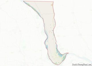
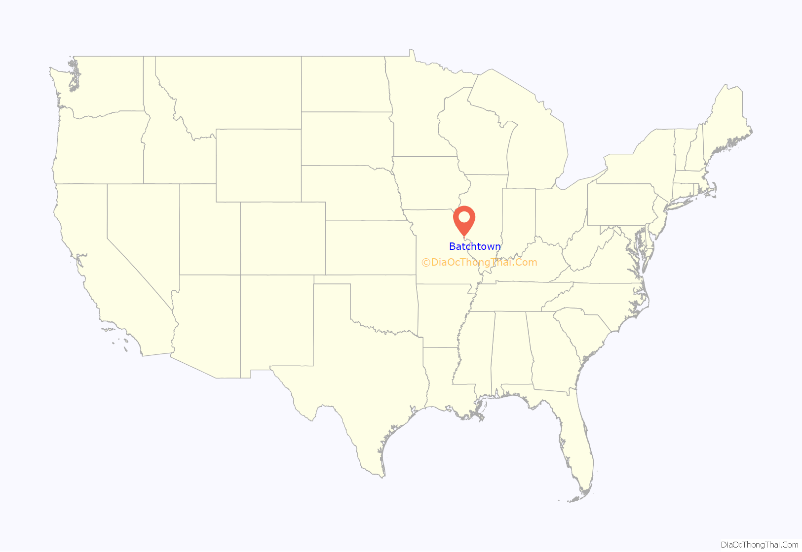
Batchtown location map. Where is Batchtown village?
History
The village and the area surrounding it was called Richwoods during the 1850s. Then people started referring to the area as Sam White’s, after a leading merchant in Calhoun County. It was later called Batchelder Ville, after William Batchelder, who lived in the village during the 1860s. A post office opened up in the community in 1879 and Batchtown became the official name of the village.
By the time the village was incorporated, there were several stores and shops. The Grand Army of the Republic set up a post in the village and the first Batchtown Methodist Church was set up.
William Batchelder was a leading citizen in the community. He owned and operated a corn mill in Batchtown. He later changed the corn mill into a flour mill. William Batchelder was also a justice of the peace and merchant.
Samuel White was also a leading citizen in Batchtown. He owned a store in the village that sold stock groceries, dry goods, shoes, and hardware. He also sold farm machinery.
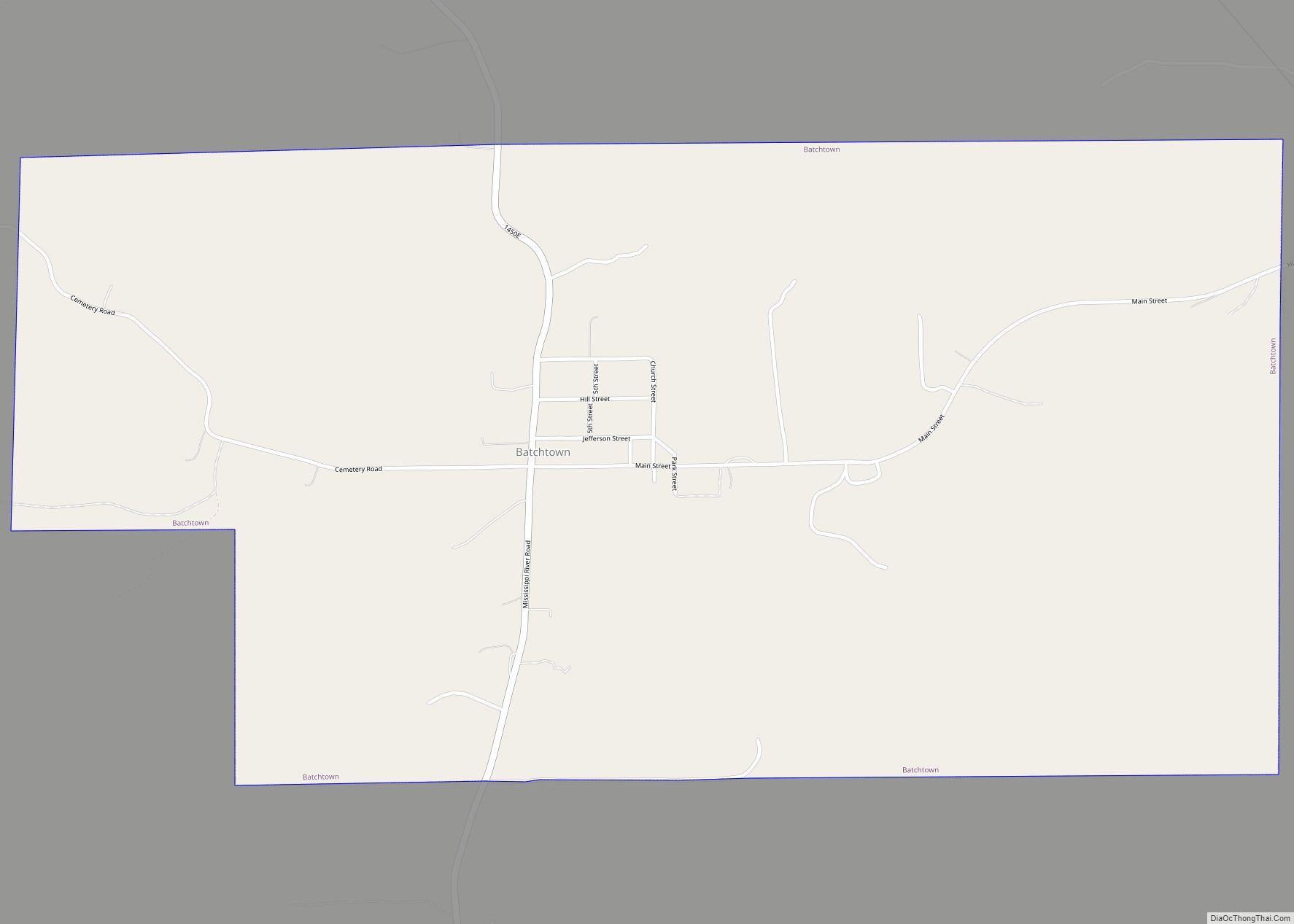
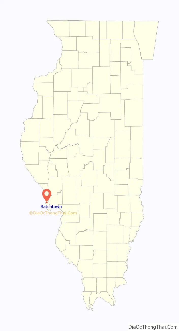
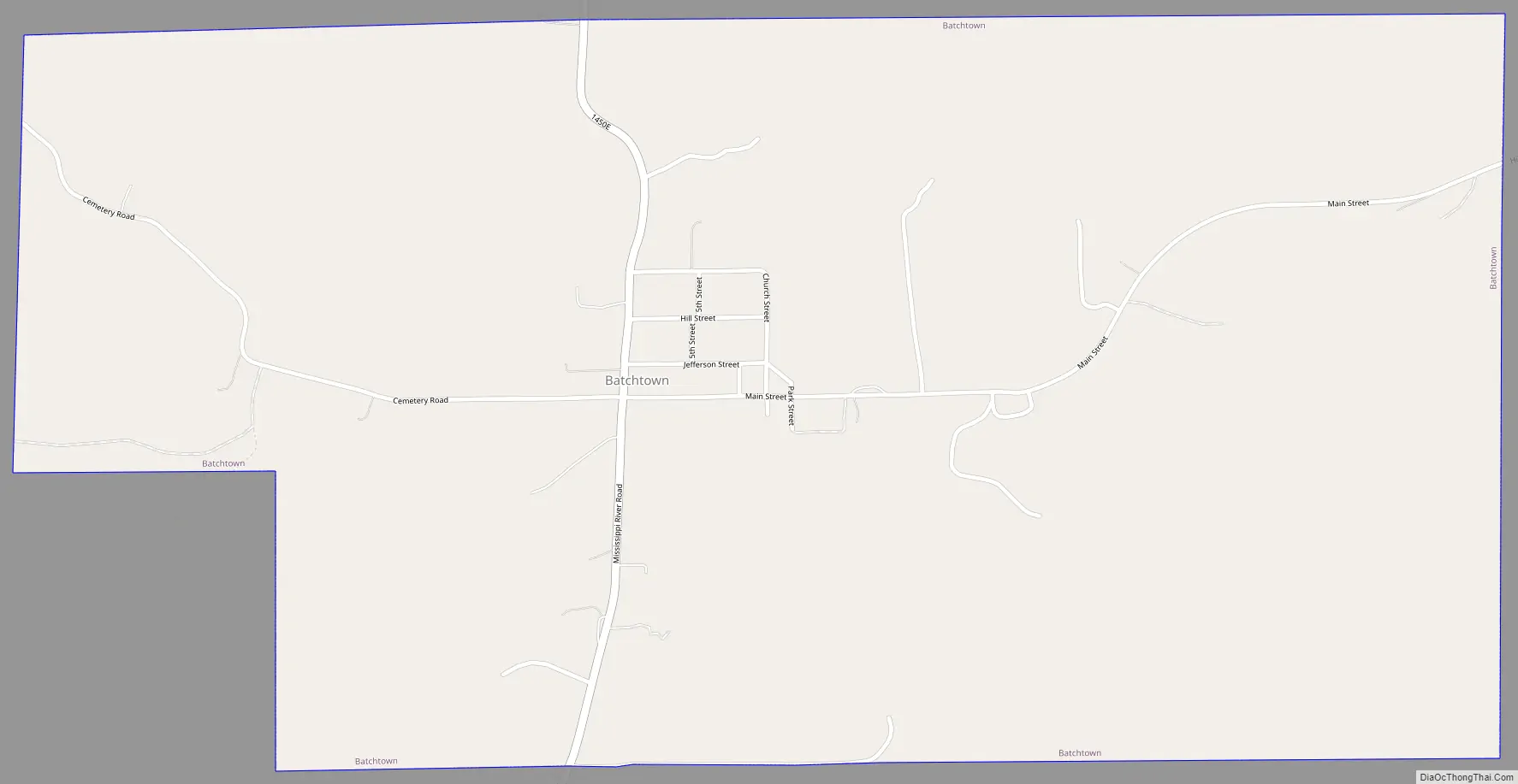
Batchtown Road Map
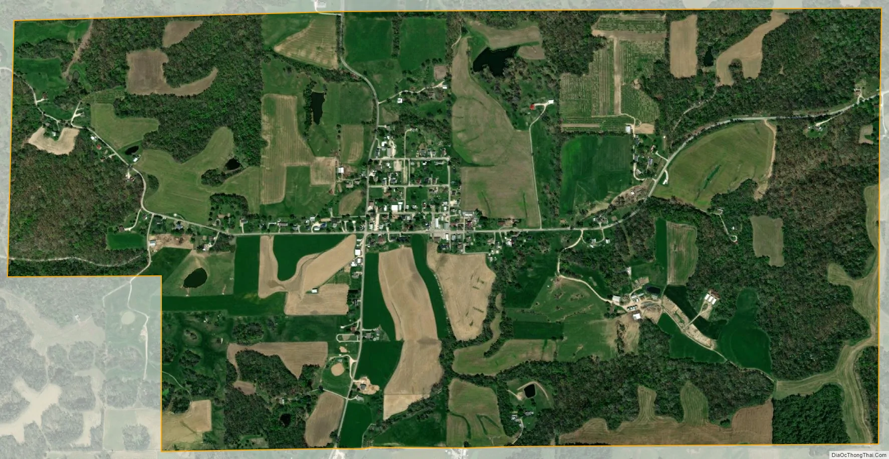
Batchtown city Satellite Map
Geography
Batchtown is located at 39°02′01″N 90°39′19″W / 39.033621°N 90.655292°W / 39.033621; -90.655292.
According to the 2021 census gazetteer files, Batchtown has a total area of 1.86 square miles (4.82 km), all land.
See also
Map of Illinois State and its subdivision:- Adams
- Alexander
- Bond
- Boone
- Brown
- Bureau
- Calhoun
- Carroll
- Cass
- Champaign
- Christian
- Clark
- Clay
- Clinton
- Coles
- Cook
- Crawford
- Cumberland
- De Kalb
- De Witt
- Douglas
- Dupage
- Edgar
- Edwards
- Effingham
- Fayette
- Ford
- Franklin
- Fulton
- Gallatin
- Greene
- Grundy
- Hamilton
- Hancock
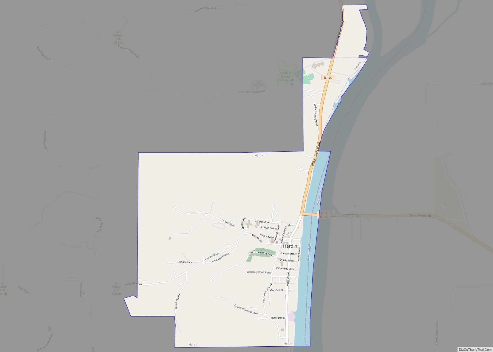
- Hardin
- Henderson
- Henry
- Iroquois
- Jackson
- Jasper
- Jefferson
- Jersey
- Jo Daviess
- Johnson
- Kane
- Kankakee
- Kendall
- Knox
- La Salle
- Lake
- Lake Michigan
- Lawrence
- Lee
- Livingston
- Logan
- Macon
- Macoupin
- Madison
- Marion
- Marshall
- Mason
- Massac
- McDonough
- McHenry
- McLean
- Menard
- Mercer
- Monroe
- Montgomery
- Morgan
- Moultrie
- Ogle
- Peoria
- Perry
- Piatt
- Pike
- Pope
- Pulaski
- Putnam
- Randolph
- Richland
- Rock Island
- Saint Clair
- Saline
- Sangamon
- Schuyler
- Scott
- Shelby
- Stark
- Stephenson
- Tazewell
- Union
- Vermilion
- Wabash
- Warren
- Washington
- Wayne
- White
- Whiteside
- Will
- Williamson
- Winnebago
- Woodford
- Alabama
- Alaska
- Arizona
- Arkansas
- California
- Colorado
- Connecticut
- Delaware
- District of Columbia
- Florida
- Georgia
- Hawaii
- Idaho
- Illinois
- Indiana
- Iowa
- Kansas
- Kentucky
- Louisiana
- Maine
- Maryland
- Massachusetts
- Michigan
- Minnesota
- Mississippi
- Missouri
- Montana
- Nebraska
- Nevada
- New Hampshire
- New Jersey
- New Mexico
- New York
- North Carolina
- North Dakota
- Ohio
- Oklahoma
- Oregon
- Pennsylvania
- Rhode Island
- South Carolina
- South Dakota
- Tennessee
- Texas
- Utah
- Vermont
- Virginia
- Washington
- West Virginia
- Wisconsin
- Wyoming