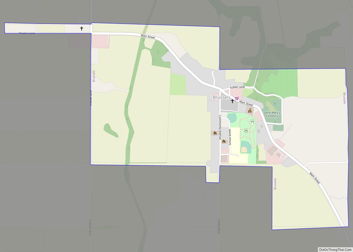
Brussels is a village in southern Calhoun County, Illinois, United States. The population was 116 at the 2020 census.
| Name: | Brussels village |
|---|---|
| LSAD Code: | 47 |
| LSAD Description: | village (suffix) |
| State: | Illinois |
| County: | Calhoun County |
| Elevation: | 515 ft (157 m) |
| Total Area: | 0.558 sq mi (1.45 km²) |
| Land Area: | 0.558 sq mi (1.45 km²) |
| Water Area: | 0.00 sq mi (0.0 km²) |
| Total Population: | 116 |
| Population Density: | 210/sq mi (80/km²) |
| Area code: | 618 |
| FIPS code: | 1709148 |
| GNISfeature ID: | 2397479 |
Online Interactive Map
Click on ![]() to view map in "full screen" mode.
to view map in "full screen" mode.
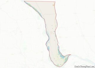
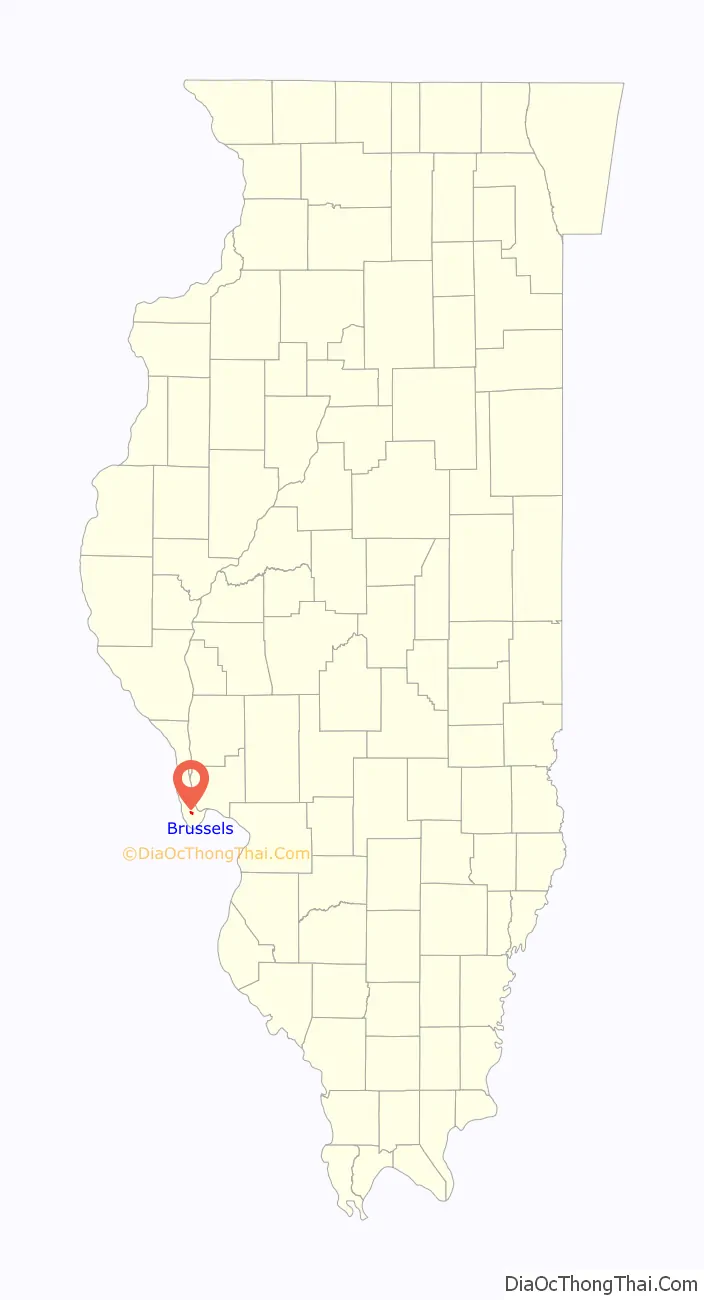
Brussels location map. Where is Brussels village?

History
Brussels was first settled in 1822, when John Mettz came to the area; later in the same year, Joshua Twitchell established the community’s first business, a blacksmith shop. In 1843, Brussels’ population grew significantly due to an influx of German immigrants. German immigration continued through the 1860s, and Irish immigrants also began settling in Brussels in the 1850s. The Wittmond Trading Post, one of the first brick stores in the region, opened in Brussels in 1847, marking the beginning of the village’s commercial development. St. Mary’s Church formed in 1848 to serve the community’s Catholic residents; its current church building was constructed in 1863. In the early 1860s, St. Matthew’s Church formed for Brussels’ German Lutheran population. Brussels opened its own post office in 1875 and built its own jail in 1876. In 1888, Brussels was legally incorporated as a village.
The main street of the village is a historic district listed on the National Register of Historic Places.
Brussels Road Map
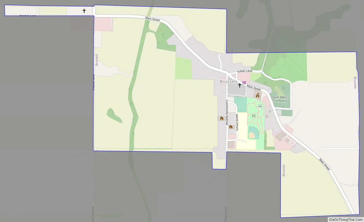
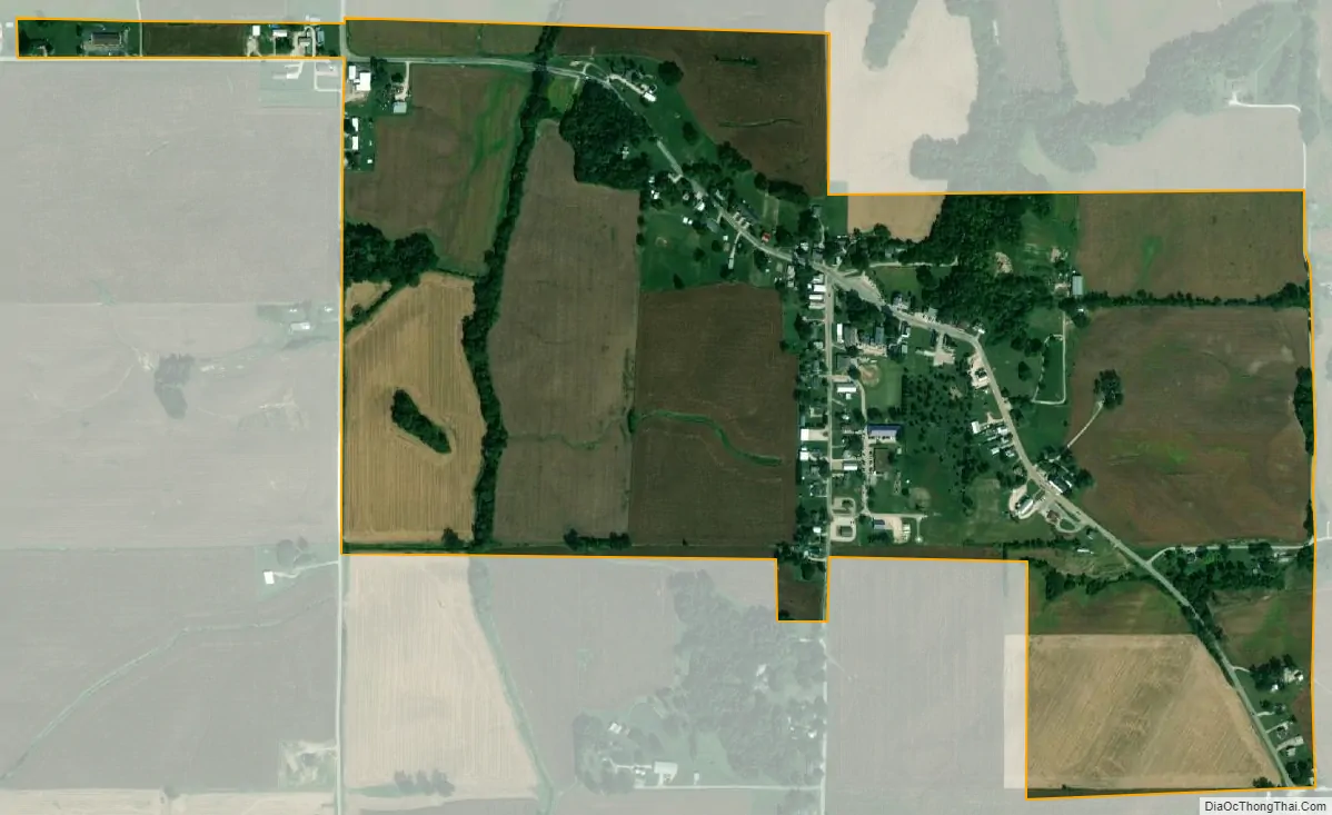
Brussels city Satellite Map
Geography
Brussels is located at 38°56′50″N 90°35′19″W / 38.94722°N 90.58861°W / 38.94722; -90.58861 (38.947275, -90.588630).
According to the 2021 census gazetteer files, Brussels has a total area of 0.56 square miles (1.45 km), all land.
See also
Map of Illinois State and its subdivision:- Adams
- Alexander
- Bond
- Boone
- Brown
- Bureau
- Calhoun
- Carroll
- Cass
- Champaign
- Christian
- Clark
- Clay
- Clinton
- Coles
- Cook
- Crawford
- Cumberland
- De Kalb
- De Witt
- Douglas
- Dupage
- Edgar
- Edwards
- Effingham
- Fayette
- Ford
- Franklin
- Fulton
- Gallatin
- Greene
- Grundy
- Hamilton
- Hancock
- Hardin
- Henderson
- Henry
- Iroquois
- Jackson
- Jasper
- Jefferson
- Jersey
- Jo Daviess
- Johnson
- Kane
- Kankakee
- Kendall
- Knox
- La Salle
- Lake
- Lake Michigan
- Lawrence
- Lee
- Livingston
- Logan
- Macon
- Macoupin
- Madison
- Marion
- Marshall
- Mason
- Massac
- McDonough
- McHenry
- McLean
- Menard
- Mercer
- Monroe
- Montgomery
- Morgan
- Moultrie
- Ogle
- Peoria
- Perry
- Piatt
- Pike
- Pope
- Pulaski
- Putnam
- Randolph
- Richland
- Rock Island
- Saint Clair
- Saline
- Sangamon
- Schuyler
- Scott
- Shelby
- Stark
- Stephenson
- Tazewell
- Union
- Vermilion
- Wabash
- Warren
- Washington
- Wayne
- White
- Whiteside
- Will
- Williamson
- Winnebago
- Woodford
- Alabama
- Alaska
- Arizona
- Arkansas
- California
- Colorado
- Connecticut
- Delaware
- District of Columbia
- Florida
- Georgia
- Hawaii
- Idaho
- Illinois
- Indiana
- Iowa
- Kansas
- Kentucky
- Louisiana
- Maine
- Maryland
- Massachusetts
- Michigan
- Minnesota
- Mississippi
- Missouri
- Montana
- Nebraska
- Nevada
- New Hampshire
- New Jersey
- New Mexico
- New York
- North Carolina
- North Dakota
- Ohio
- Oklahoma
- Oregon
- Pennsylvania
- Rhode Island
- South Carolina
- South Dakota
- Tennessee
- Texas
- Utah
- Vermont
- Virginia
- Washington
- West Virginia
- Wisconsin
- Wyoming