Buckner is a village in Franklin County, Illinois, United States. The population was 409 at the 2020 census. The current mayor is Aaron Eubanks.
| Name: | Buckner village |
|---|---|
| LSAD Code: | 47 |
| LSAD Description: | village (suffix) |
| State: | Illinois |
| County: | Franklin County |
| Elevation: | 397 ft (121 m) |
| Total Area: | 0.89 sq mi (2.31 km²) |
| Land Area: | 0.87 sq mi (2.26 km²) |
| Water Area: | 0.02 sq mi (0.05 km²) |
| Total Population: | 409 |
| Population Density: | 469.04/sq mi (181.14/km²) |
| Area code: | 618 |
| FIPS code: | 1709330 |
| GNISfeature ID: | 2397487 |
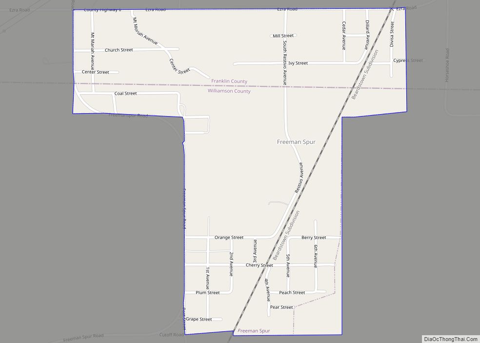
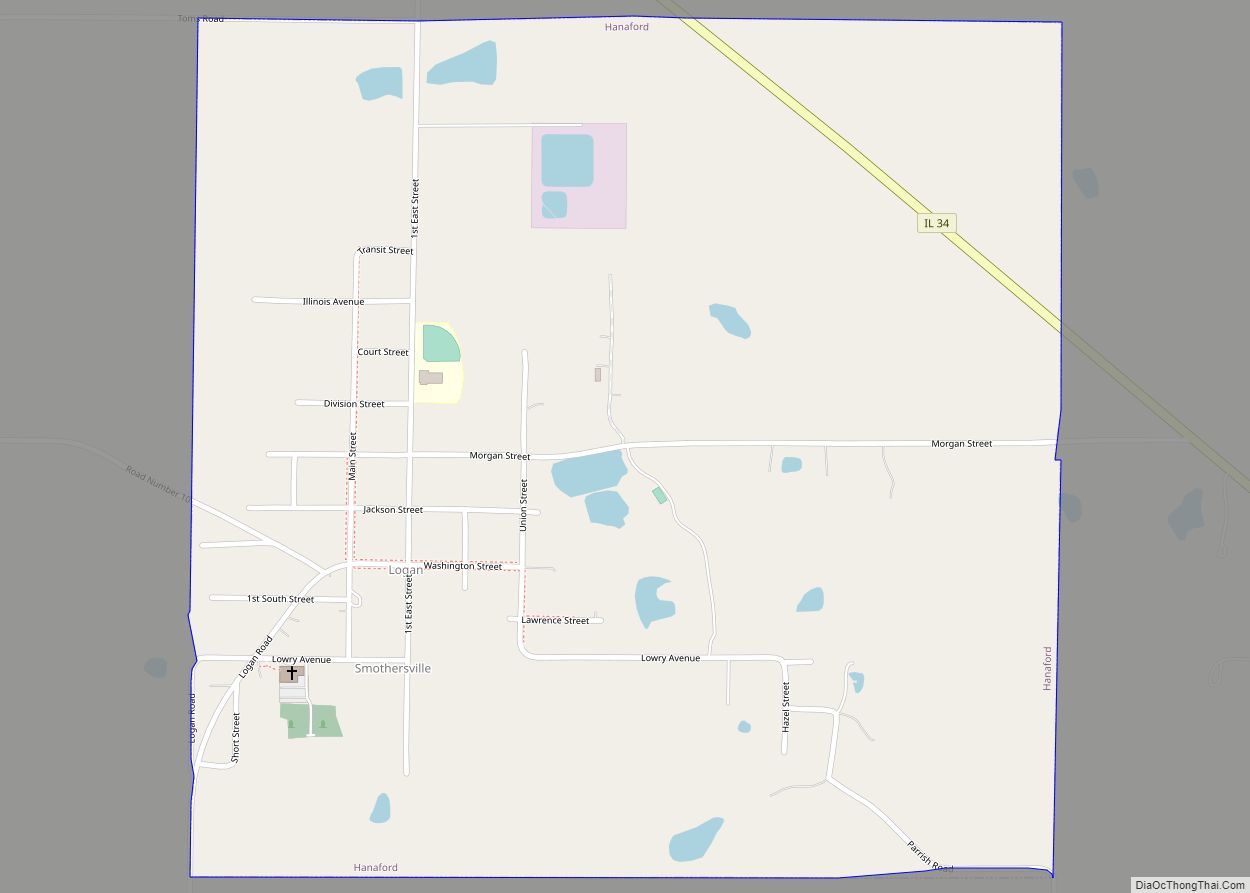
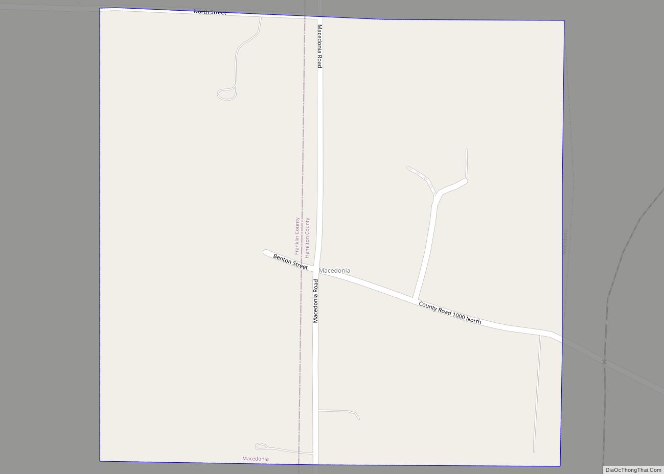
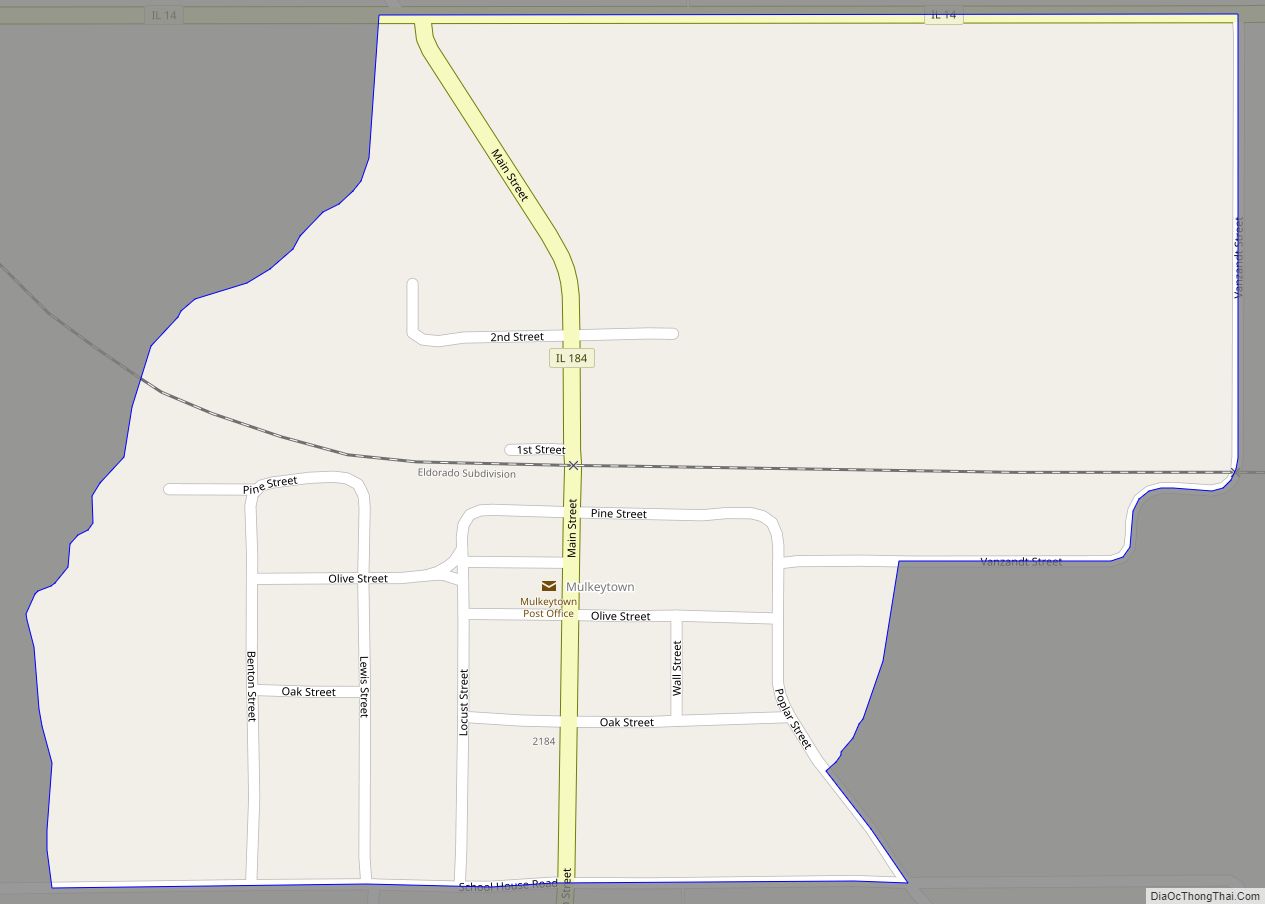
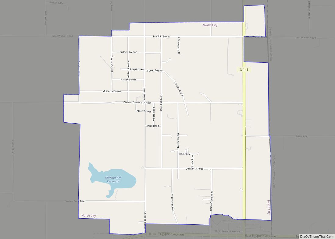
Online Interactive Map
Click on ![]() to view map in "full screen" mode.
to view map in "full screen" mode.
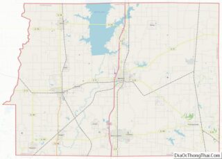
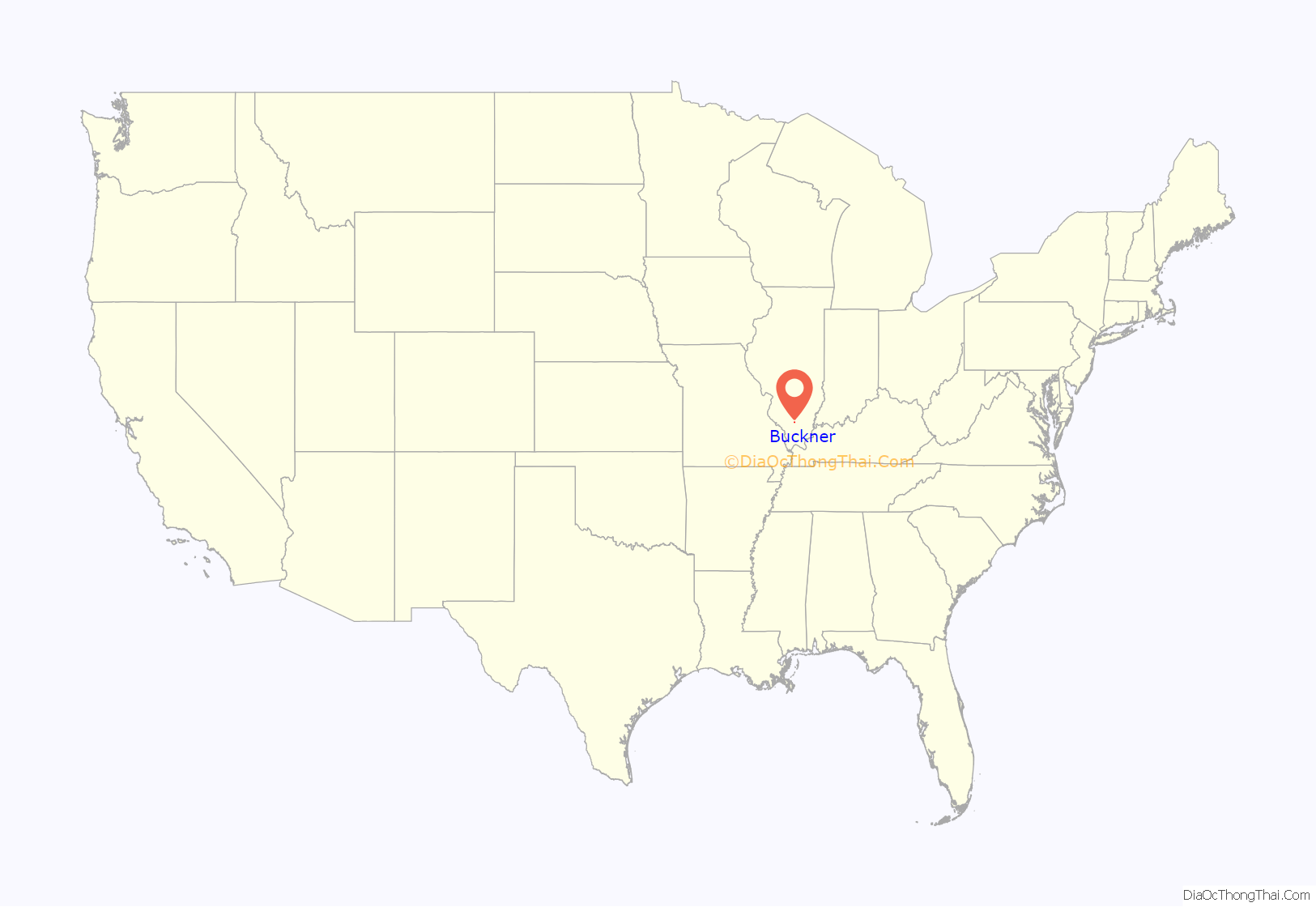
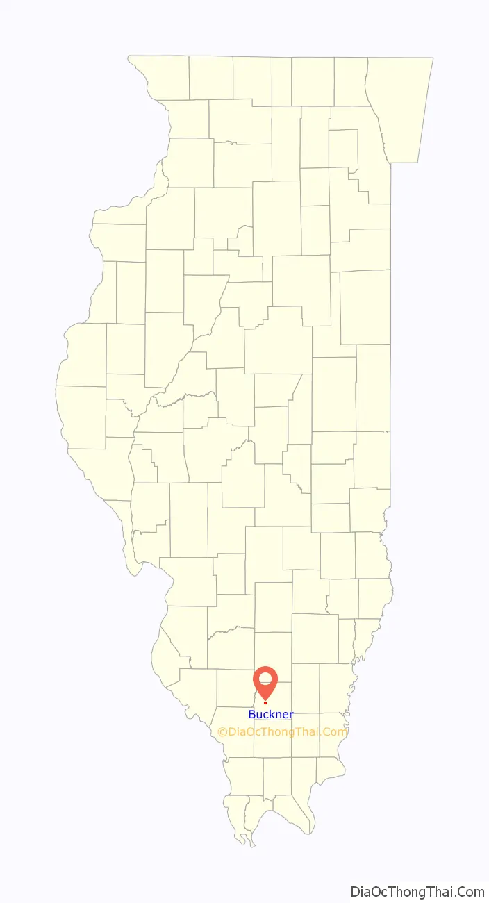
Buckner location map. Where is Buckner village?
History
The village was named after American Civil War Union veteran Moses Buckner (b. Feb 11, 1827 d. April 17, 1882), who served in the 15th Regiment Illinois Volunteer Cavalry.
United Coal Mine No. 2 opened in 1911 in Buckner under the ownership of the United Coal Mining Company (later the United Coal Corporation). The mine was sold to the Old Ben Coal Corporation in 1960, and renamed Old Ben Coal Mine No. 14. Eight men were killed in an explosion in 1915, and one man was killed in a gas explosion in 1931. The mine was idle in 1933. Its last production was 1960.
This village had a number of taverns and nightclubs and was known as one of the biggest entertainment areas of Franklin County from the 1950s to the early 1980s.
Buckner Road Map
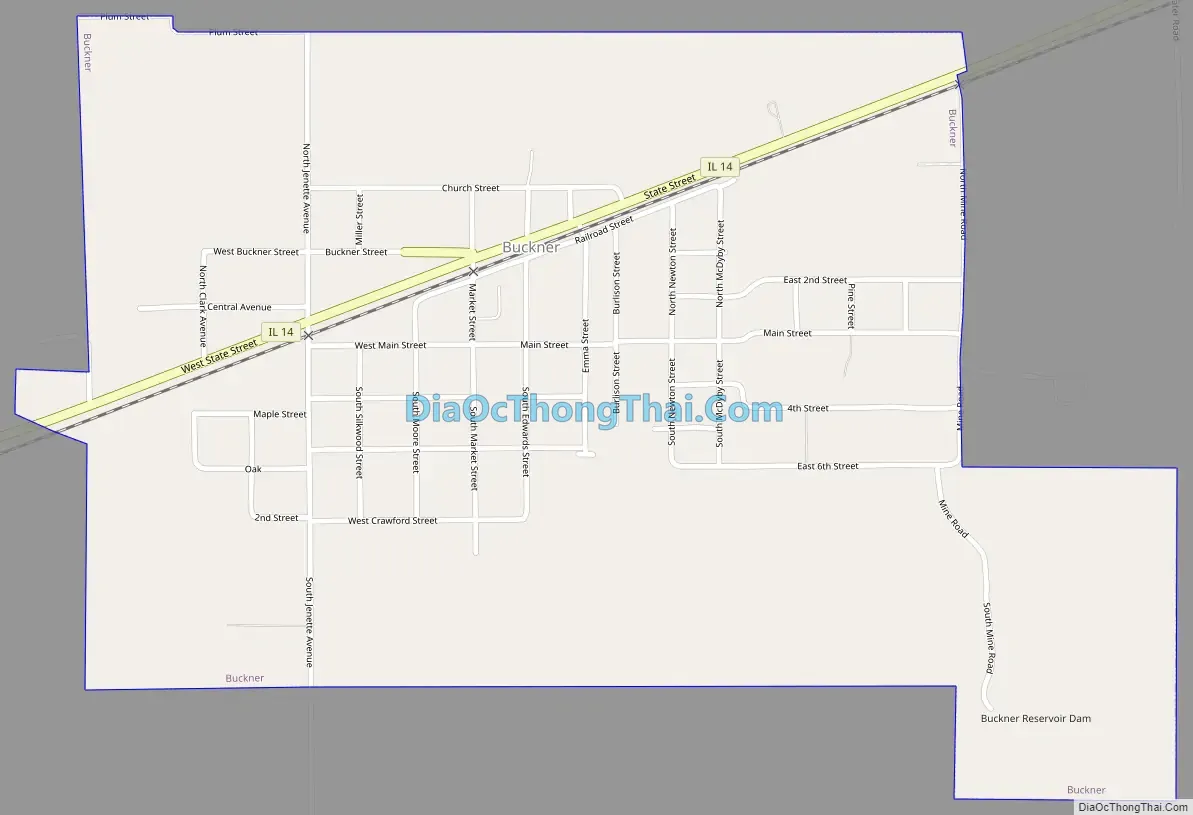
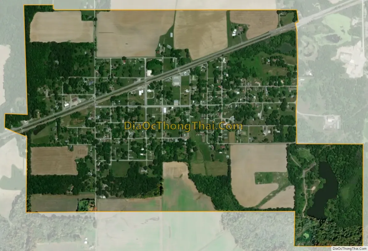
Buckner city Satellite Map
Geography
Buckner is located in west-central Franklin County at 37°58′52″N 89°0′56″W / 37.98111°N 89.01556°W / 37.98111; -89.01556 (37.981131, -89.015693). Illinois Route 14 passes through the village, leading east 5.5 miles (8.9 km) to Benton, the county seat, and west 2 miles (3 km) to Christopher.
According to the 2010 census, Buckner has a total area of 0.891 square miles (2.31 km), of which 0.87 square miles (2.25 km) (or 97.64%) is land and 0.021 square miles (0.05 km) (or 2.36%) is water.
See also
Map of Illinois State and its subdivision:- Adams
- Alexander
- Bond
- Boone
- Brown
- Bureau
- Calhoun
- Carroll
- Cass
- Champaign
- Christian
- Clark
- Clay
- Clinton
- Coles
- Cook
- Crawford
- Cumberland
- De Kalb
- De Witt
- Douglas
- Dupage
- Edgar
- Edwards
- Effingham
- Fayette
- Ford
- Franklin
- Fulton
- Gallatin
- Greene
- Grundy
- Hamilton
- Hancock
- Hardin
- Henderson
- Henry
- Iroquois
- Jackson
- Jasper
- Jefferson
- Jersey
- Jo Daviess
- Johnson
- Kane
- Kankakee
- Kendall
- Knox
- La Salle
- Lake
- Lake Michigan
- Lawrence
- Lee
- Livingston
- Logan
- Macon
- Macoupin
- Madison
- Marion
- Marshall
- Mason
- Massac
- McDonough
- McHenry
- McLean
- Menard
- Mercer
- Monroe
- Montgomery
- Morgan
- Moultrie
- Ogle
- Peoria
- Perry
- Piatt
- Pike
- Pope
- Pulaski
- Putnam
- Randolph
- Richland
- Rock Island
- Saint Clair
- Saline
- Sangamon
- Schuyler
- Scott
- Shelby
- Stark
- Stephenson
- Tazewell
- Union
- Vermilion
- Wabash
- Warren
- Washington
- Wayne
- White
- Whiteside
- Will
- Williamson
- Winnebago
- Woodford
- Alabama
- Alaska
- Arizona
- Arkansas
- California
- Colorado
- Connecticut
- Delaware
- District of Columbia
- Florida
- Georgia
- Hawaii
- Idaho
- Illinois
- Indiana
- Iowa
- Kansas
- Kentucky
- Louisiana
- Maine
- Maryland
- Massachusetts
- Michigan
- Minnesota
- Mississippi
- Missouri
- Montana
- Nebraska
- Nevada
- New Hampshire
- New Jersey
- New Mexico
- New York
- North Carolina
- North Dakota
- Ohio
- Oklahoma
- Oregon
- Pennsylvania
- Rhode Island
- South Carolina
- South Dakota
- Tennessee
- Texas
- Utah
- Vermont
- Virginia
- Washington
- West Virginia
- Wisconsin
- Wyoming