Christopher is a city in Franklin County, Illinois, United States. The population was 2,382 at the time of the 2010 census.
| Name: | Christopher city |
|---|---|
| LSAD Code: | 25 |
| LSAD Description: | city (suffix) |
| State: | Illinois |
| County: | Franklin County |
| Elevation: | 440 ft (130 m) |
| Total Area: | 1.64 sq mi (4.24 km²) |
| Land Area: | 1.62 sq mi (4.20 km²) |
| Water Area: | 0.01 sq mi (0.04 km²) |
| Total Population: | 2,697 |
| Population Density: | 1,662.76/sq mi (642.13/km²) |
| Area code: | 618 |
| FIPS code: | 1714286 |
| GNISfeature ID: | 406104 |
| Website: | http://www.cityofchristopher.org/ |
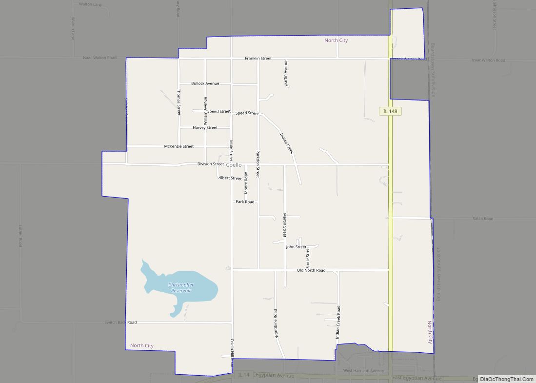
Online Interactive Map
Click on ![]() to view map in "full screen" mode.
to view map in "full screen" mode.
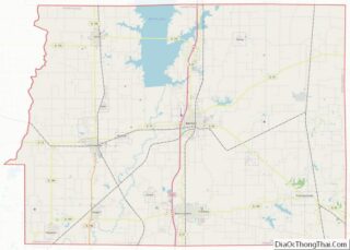
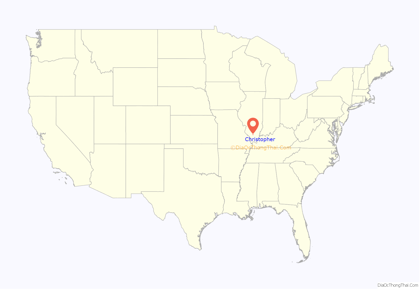
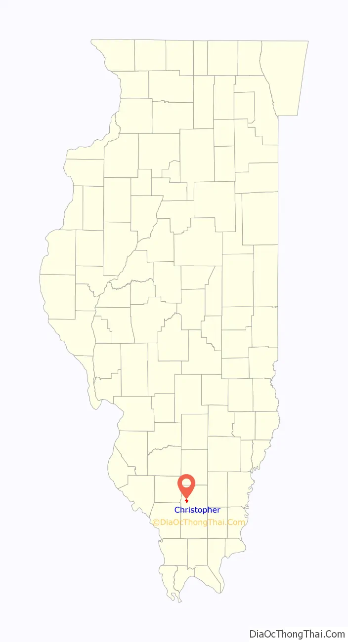
Christopher location map. Where is Christopher city?
History
Christopher was founded in 1879 as a railroad stop, and named for Christopher Harrison, a grandson of prominent early settler Isham Harrison. A post office opened the following year. The community voted to become a village in 1903, and a city in 1910.
Coal mining
In 1906, the United Coal Mining Company No. 1 mine opened near Christopher. An explosion at the mine killed eight men on July 27, 1915. The mine was sold to the Old Ben Coal Corporation, and renamed Old Ben Coal Mine No. 1 in 1916. The mine closed in 1929.
On November 29, 1917, an explosion at Old Ben Coal Corporation’s Mine No. 11 killed 17 men.
Mob vigilantism during World War I
On March 22, 1918, five men who were accused of being “pro-German” became victims of a mob numbering more than 300 people. They were:
- Theodore Kunger, a grocer, had been judged by a local court of being disloyal, and ordered to pay a $100 fine. Having no money, he was put in jail. Later his cell was broken into by a vigilance committee. Kunger was carried by the mob to the city square where he was made to kiss the U.S. flag before he was tarred and feathered. He was then returned to jail.
- W. R. Jones, Kunger’s attorney, was abducted five miles outside Christopher on his way home to Benton, Illinois. He was brought to the square and compelled to kiss the flag and praise president Woodrow Wilson, but was spared tar and feathers. He was told to leave town.
- Henry Timbrock and Henry Wheeler were also suspected of pro-German sympathies. They too were taken to the square, made to kiss the flag and tarred and feathered.
- The Polish pastor of the local Catholic church, Rev. John Kovalsky, had been accused of making disloyal remarks. He was taken to the square where he was stripped to the waist and coated with tar and feathers.
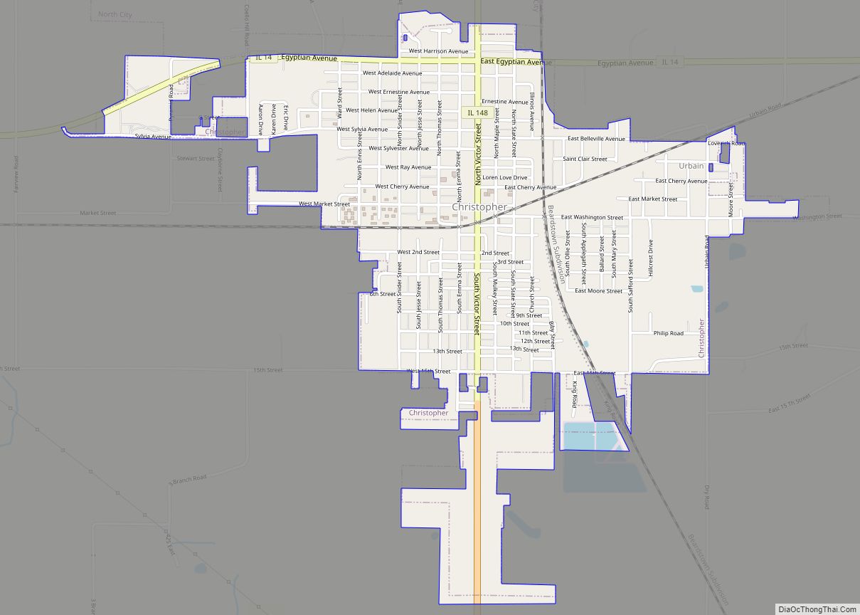
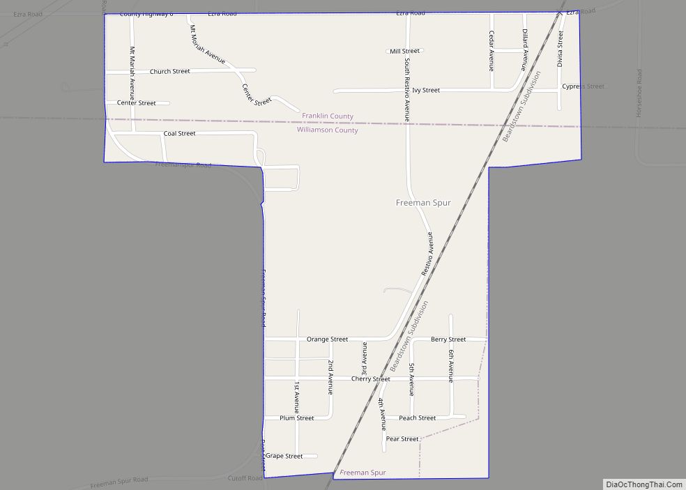
Christopher Road Map
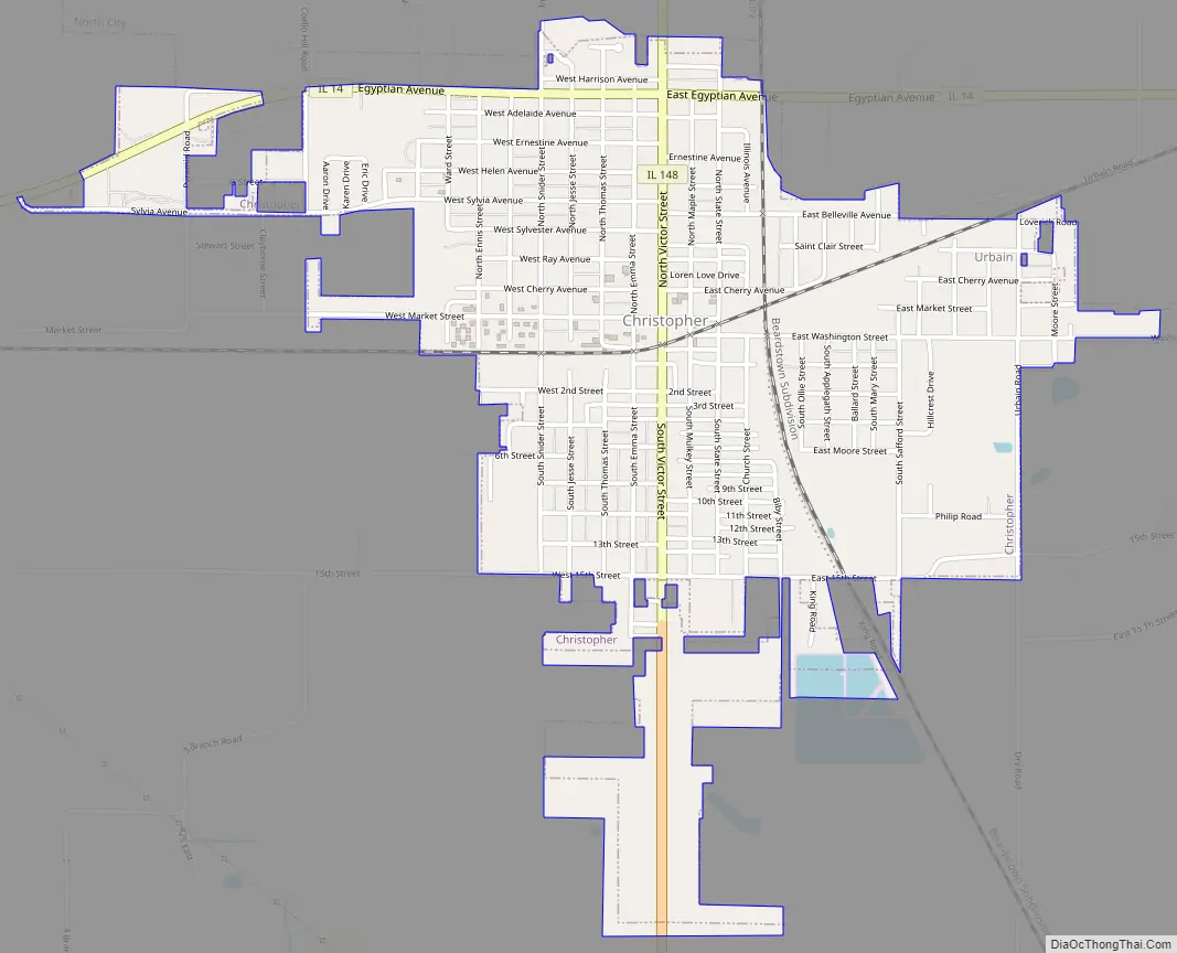
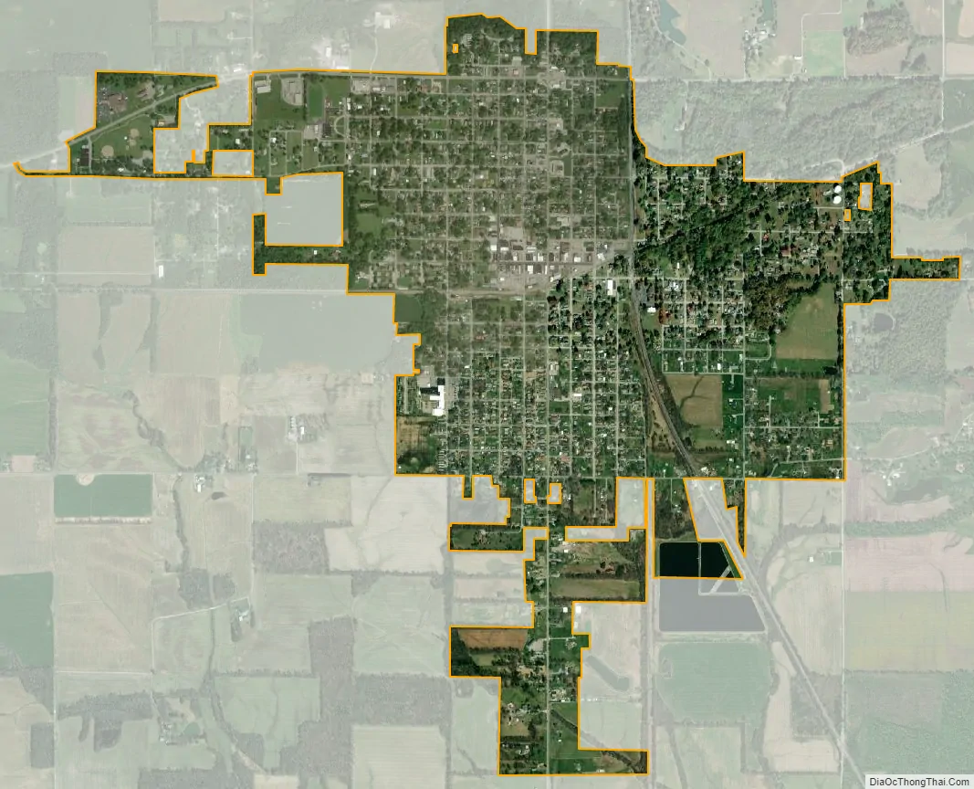
Christopher city Satellite Map
Geography
Christopher is located 20 miles northeast of Carbondale, Illinois at 37°58′20″N 89°3′10″W / 37.97222°N 89.05278°W / 37.97222; -89.05278 (37.972099, -89.052911).
According to the 2010 census, the city has a total area of 1.58 square miles (4.1 km), of which 1.58 square miles (4.1 km) (or 100%) is land and 0.01 square miles (0.026 km) (or 0.63%) is water.
See also
Map of Illinois State and its subdivision:- Adams
- Alexander
- Bond
- Boone
- Brown
- Bureau
- Calhoun
- Carroll
- Cass
- Champaign
- Christian
- Clark
- Clay
- Clinton
- Coles
- Cook
- Crawford
- Cumberland
- De Kalb
- De Witt
- Douglas
- Dupage
- Edgar
- Edwards
- Effingham
- Fayette
- Ford
- Franklin
- Fulton
- Gallatin
- Greene
- Grundy
- Hamilton
- Hancock
- Hardin
- Henderson
- Henry
- Iroquois
- Jackson
- Jasper
- Jefferson
- Jersey
- Jo Daviess
- Johnson
- Kane
- Kankakee
- Kendall
- Knox
- La Salle
- Lake
- Lake Michigan
- Lawrence
- Lee
- Livingston
- Logan
- Macon
- Macoupin
- Madison
- Marion
- Marshall
- Mason
- Massac
- McDonough
- McHenry
- McLean
- Menard
- Mercer
- Monroe
- Montgomery
- Morgan
- Moultrie
- Ogle
- Peoria
- Perry
- Piatt
- Pike
- Pope
- Pulaski
- Putnam
- Randolph
- Richland
- Rock Island
- Saint Clair
- Saline
- Sangamon
- Schuyler
- Scott
- Shelby
- Stark
- Stephenson
- Tazewell
- Union
- Vermilion
- Wabash
- Warren
- Washington
- Wayne
- White
- Whiteside
- Will
- Williamson
- Winnebago
- Woodford
- Alabama
- Alaska
- Arizona
- Arkansas
- California
- Colorado
- Connecticut
- Delaware
- District of Columbia
- Florida
- Georgia
- Hawaii
- Idaho
- Illinois
- Indiana
- Iowa
- Kansas
- Kentucky
- Louisiana
- Maine
- Maryland
- Massachusetts
- Michigan
- Minnesota
- Mississippi
- Missouri
- Montana
- Nebraska
- Nevada
- New Hampshire
- New Jersey
- New Mexico
- New York
- North Carolina
- North Dakota
- Ohio
- Oklahoma
- Oregon
- Pennsylvania
- Rhode Island
- South Carolina
- South Dakota
- Tennessee
- Texas
- Utah
- Vermont
- Virginia
- Washington
- West Virginia
- Wisconsin
- Wyoming