Burr Ridge (formerly Harvester) is a village in Cook and DuPage counties in the U.S. state of Illinois. A suburb of Chicago, it is among the wealthiest towns in Illinois and is locally known for its large, elegant mansions and luxury lifestyles. Per the 2020 census, the population was 11,192.
| Name: | Burr Ridge village |
|---|---|
| LSAD Code: | 47 |
| LSAD Description: | village (suffix) |
| State: | Illinois |
| County: | Cook County, DuPage County |
| Incorporated: | 1956 |
| Elevation: | 702 ft (214 m) |
| Total Area: | 7.33 sq mi (18.99 km²) |
| Land Area: | 7.20 sq mi (18.64 km²) |
| Water Area: | 0.14 sq mi (0.35 km²) 1.96% |
| Total Population: | 11,192 |
| Population Density: | 1,554.88/sq mi (600.32/km²) |
| Area code: | 630 and 331 |
| FIPS code: | 1709980 |
| Website: | www.burr-ridge.gov |
Online Interactive Map
Click on ![]() to view map in "full screen" mode.
to view map in "full screen" mode.
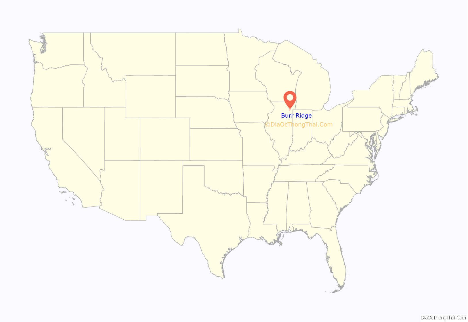
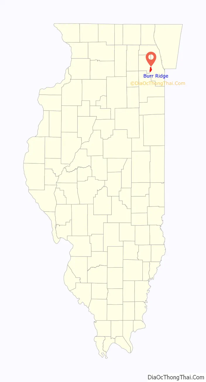
Burr Ridge location map. Where is Burr Ridge village?
History
Burr Ridge’s gently rolling hills were carved by glaciers at the end of the last ice age, and most of the village lies on the Valparaiso Moraine. Flagg Creek, a tributary of the Des Plaines River, runs through town.
Joseph Vial erected a log cabin near Wolf and Plainfield roads in 1834. Vial also ran a hotel on the stagecoach line, and the Vial family was actively involved in Lyons Township politics and the creation of the Lyonsville congregational church. The first Democratic convention in Cook County was held in Burr Ridge in 1835. After 1848, farmers shipped their goods to Chicago along the Illinois and Michigan Canal. A small settlement of German farmers also inhabited Flagg Creek by the 1880s.
In 1917, the International Harvester Company purchased 414 acres (1.7 km) for an experimental farm, where it tested the world’s first all-purpose tractor, the Farmall. Also in 1917, the Cook County Prison Farm (also known as the Bridewell Farm) began operation in what is now Burr Ridge.
In 1947, developer Robert Bartlett, whose company also developed Beverly Shores and Countryside, established the Hinsdale Countryside Estates out of a former pig farm. In 1956 these residents decided to incorporate as the village of Harvester, in honor of International Harvester.
In the 1940s, Denver Busby bought 190 acres (0.8 km) that became known as the Burr Ridge dairy farm. He later launched the Burr Ridge Estates, with 5-acre (20,000 m) home sites. In 1961, International Harvester and the Burr Ridges Estates merged with Harvester, changing the community’s name to Burr Ridge. The town name is derived from a group of bur oak. By 1963, the population had more than doubled, to 790, and by 1975 it had soared to over 2,200.
In 1969, Chicago mayor Richard J. Daley suggested a proposal to build low-income subsidized housing on the prison farm property, but Republican-dominated DuPage County quashed the idea. The prison farm site became the Ambriance subdivision, a gated community of multimillion-dollar homes. The Four Pines Farm gave way to the Carriage Way subdivision, at whose entrance the original farmhouse still stands, and in 1971 additional farmland became the Braemoor neighborhood. An area known as Valley View, once owned by a Chicago industrialist and later by the Chicago chapter of the Boy Scouts of America, was developed in the early 1970s as the Burr Ridge Club. The village also has five corporate parks. As with other towns in the industrial corridor southwest of Chicago, close proximity to Interstates 294 and 55 spurred development in Burr Ridge.
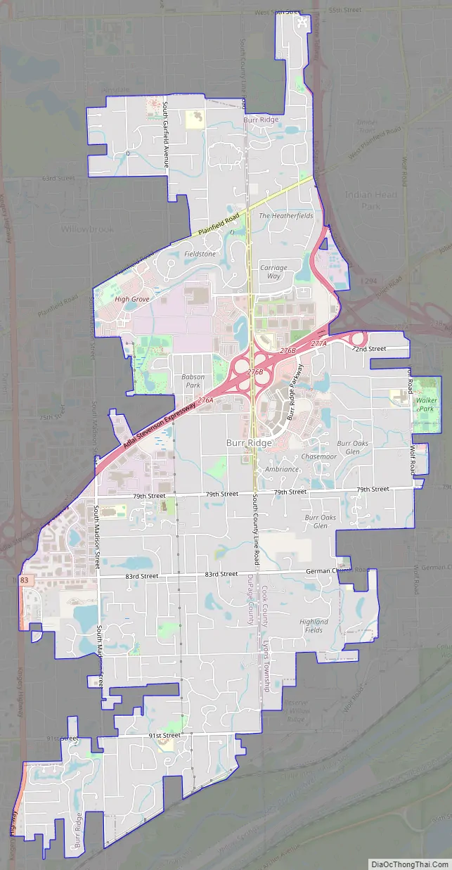
Burr Ridge Road Map
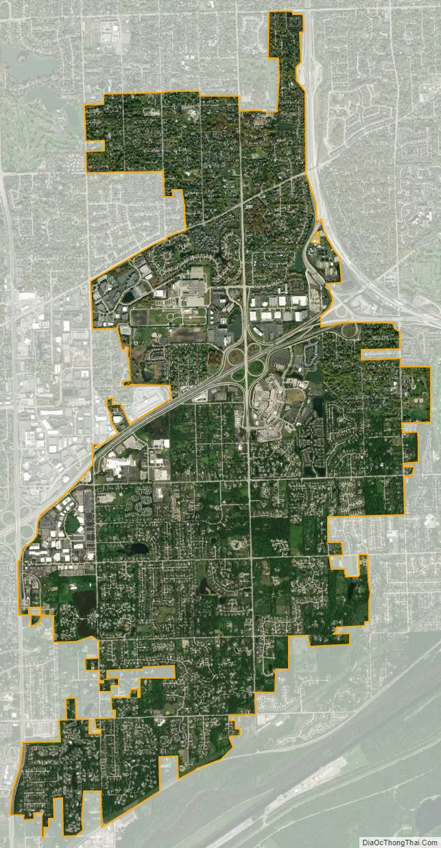
Burr Ridge city Satellite Map
Geography
Burr Ridge is located at 41°45′11″N 87°55′12″W / 41.75306°N 87.92000°W / 41.75306; -87.92000 (41.753030, -87.919998).
According to the 2021 census gazetteer files, Burr Ridge has a total area of 7.29 square miles (18.88 km), of which 7.16 square miles (18.54 km) (or 98.15%) is land and 0.14 square miles (0.36 km) (or 1.85%) is water.
Burr Ridge lies in both Du Page and Cook counties. The village is bordered by Hinsdale to the north, Western Springs to the northeast, Indian Head Park to the east, Willow Springs to the south and southeast, and Willowbrook to the west, along with several unincorporated areas.
See also
Map of Illinois State and its subdivision:- Adams
- Alexander
- Bond
- Boone
- Brown
- Bureau
- Calhoun
- Carroll
- Cass
- Champaign
- Christian
- Clark
- Clay
- Clinton
- Coles
- Cook
- Crawford
- Cumberland
- De Kalb
- De Witt
- Douglas
- Dupage
- Edgar
- Edwards
- Effingham
- Fayette
- Ford
- Franklin
- Fulton
- Gallatin
- Greene
- Grundy
- Hamilton
- Hancock
- Hardin
- Henderson
- Henry
- Iroquois
- Jackson
- Jasper
- Jefferson
- Jersey
- Jo Daviess
- Johnson
- Kane
- Kankakee
- Kendall
- Knox
- La Salle
- Lake
- Lake Michigan
- Lawrence
- Lee
- Livingston
- Logan
- Macon
- Macoupin
- Madison
- Marion
- Marshall
- Mason
- Massac
- McDonough
- McHenry
- McLean
- Menard
- Mercer
- Monroe
- Montgomery
- Morgan
- Moultrie
- Ogle
- Peoria
- Perry
- Piatt
- Pike
- Pope
- Pulaski
- Putnam
- Randolph
- Richland
- Rock Island
- Saint Clair
- Saline
- Sangamon
- Schuyler
- Scott
- Shelby
- Stark
- Stephenson
- Tazewell
- Union
- Vermilion
- Wabash
- Warren
- Washington
- Wayne
- White
- Whiteside
- Will
- Williamson
- Winnebago
- Woodford
- Alabama
- Alaska
- Arizona
- Arkansas
- California
- Colorado
- Connecticut
- Delaware
- District of Columbia
- Florida
- Georgia
- Hawaii
- Idaho
- Illinois
- Indiana
- Iowa
- Kansas
- Kentucky
- Louisiana
- Maine
- Maryland
- Massachusetts
- Michigan
- Minnesota
- Mississippi
- Missouri
- Montana
- Nebraska
- Nevada
- New Hampshire
- New Jersey
- New Mexico
- New York
- North Carolina
- North Dakota
- Ohio
- Oklahoma
- Oregon
- Pennsylvania
- Rhode Island
- South Carolina
- South Dakota
- Tennessee
- Texas
- Utah
- Vermont
- Virginia
- Washington
- West Virginia
- Wisconsin
- Wyoming


