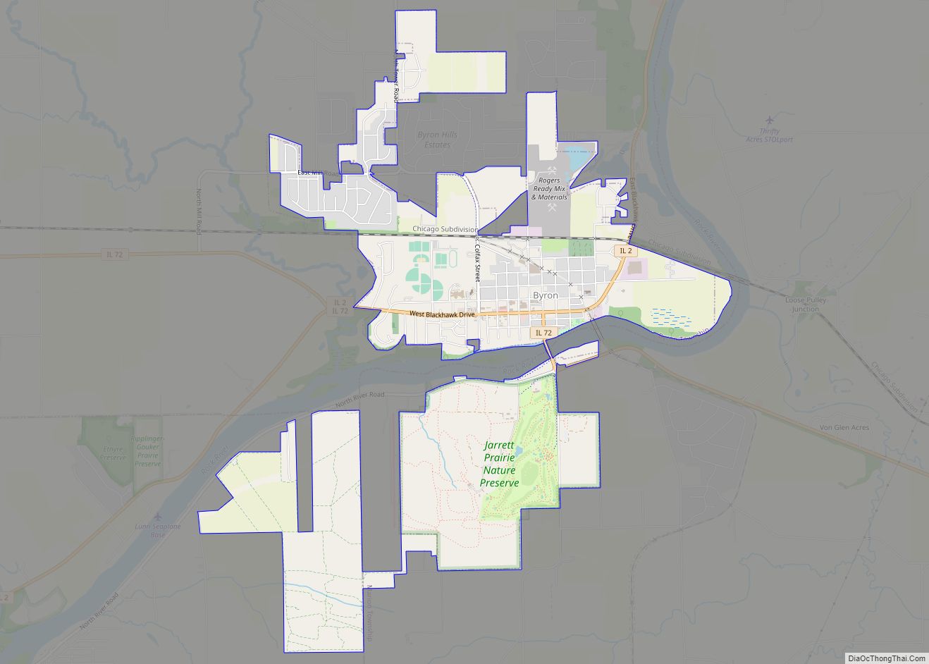
Byron is a city in Ogle County, Illinois, United States, probably best known as the location of the Byron Nuclear Generating Station, one of the last nuclear power plants commissioned in the United States. Byron is located in Byron Township, along the Rock River. The population was 3,753 at the 2010 census, up from 2,917 at the 2000 census. The town bills itself as the “Gateway to the Rock River Valley”.
| Name: | Byron city |
|---|---|
| LSAD Code: | 25 |
| LSAD Description: | city (suffix) |
| State: | Illinois |
| County: | Ogle County |
| Founded: | July 1835 |
| Elevation: | 728 ft (222 m) |
| Total Area: | 4.65 sq mi (12.05 km²) |
| Land Area: | 4.65 sq mi (12.04 km²) |
| Water Area: | 0.00 sq mi (0.00 km²) |
| Total Population: | 3,784 |
| Population Density: | 813.76/sq mi (314.23/km²) |
| Area code: | 815 |
| FIPS code: | 1710240 |
| Website: | byron.govoffice.com |
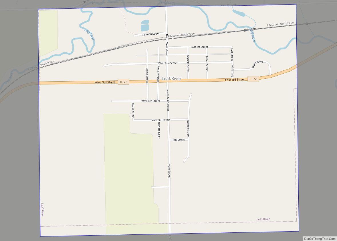
Online Interactive Map
Click on ![]() to view map in "full screen" mode.
to view map in "full screen" mode.
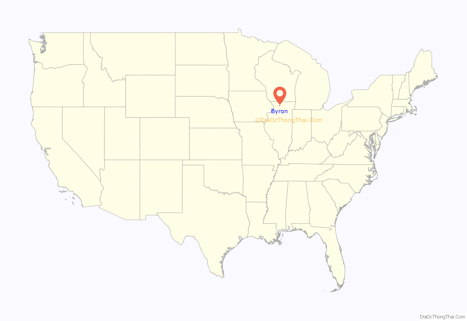
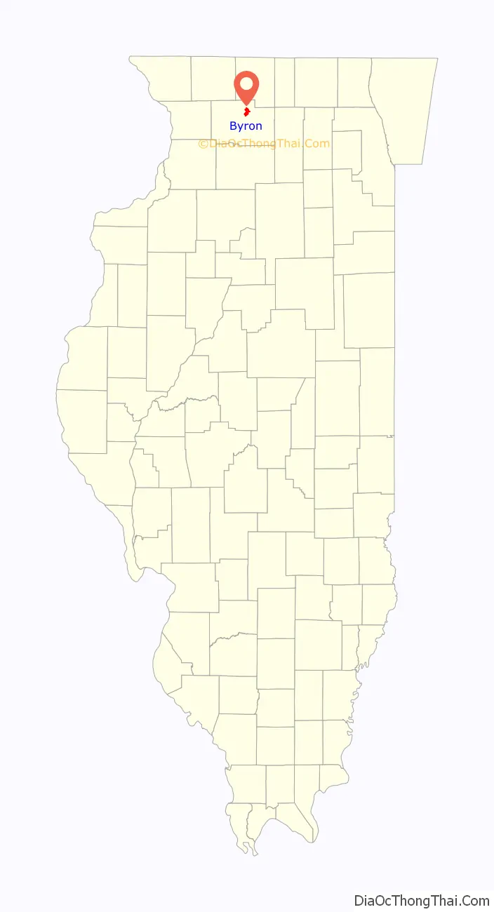
Byron location map. Where is Byron city?
History
The city that is now Byron was founded when a settler rode through the area on his way from Galena to Midway.
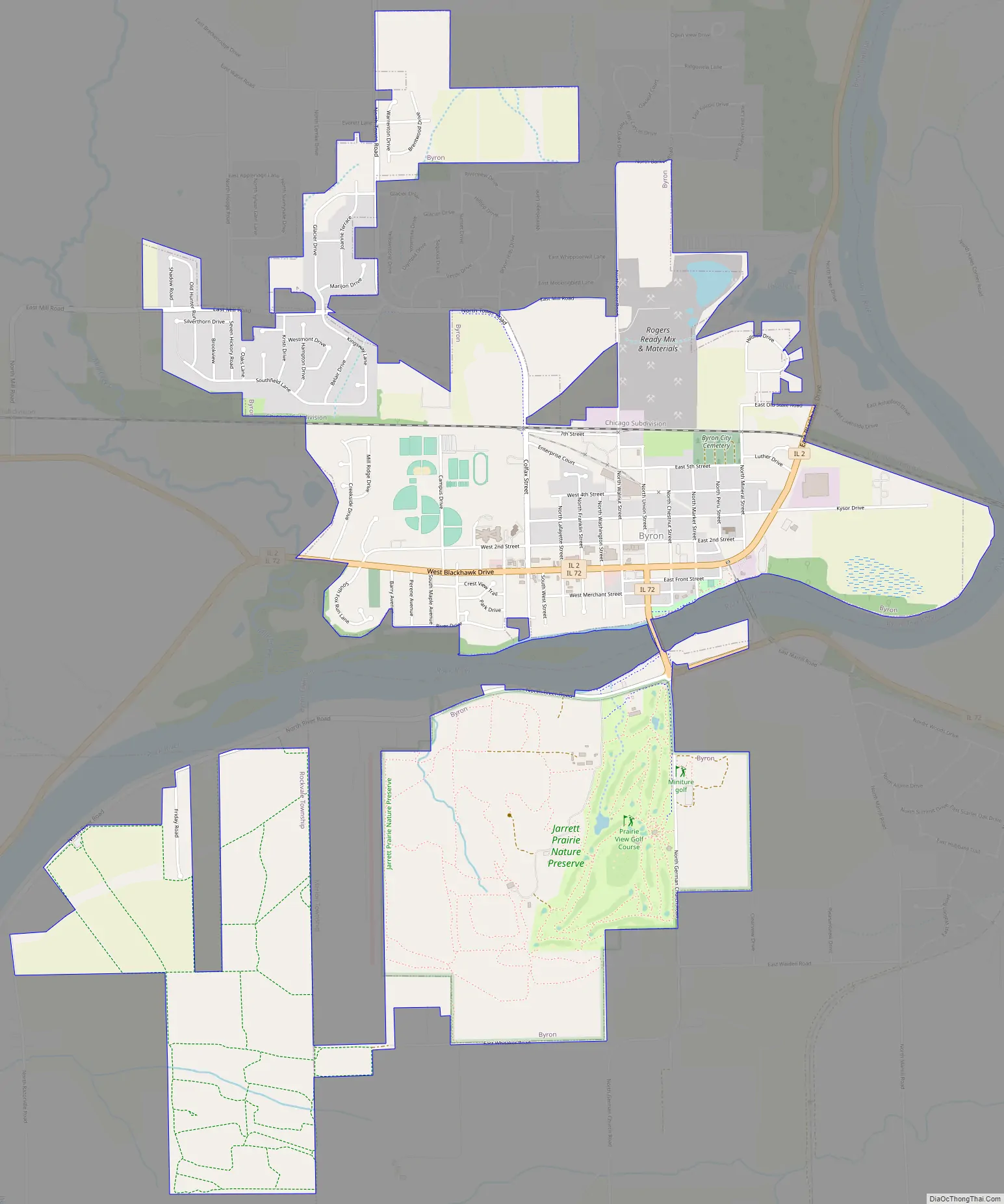
Byron Road Map
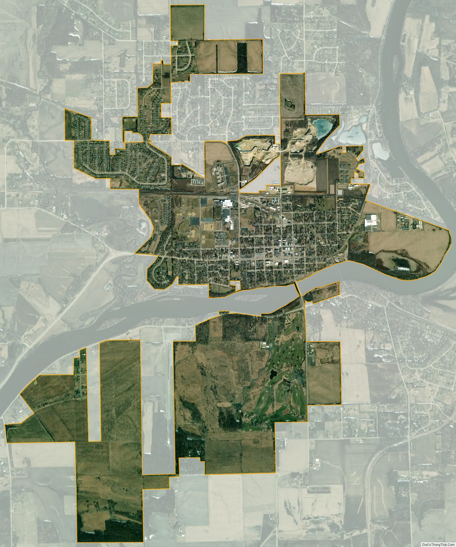
Byron city Satellite Map
Geography
Byron is located in Byron Township at the junction of Illinois Route 72 and Illinois Route 2. Byron’s topography includes a man-made prairie and the Rock River that passes through the town. It is generally flat and is ideal for farming in most regions. According to the 2010 census, Byron has a total area of 3.572 square miles (9.25 km), of which 3.57 square miles (9.25 km) (or 99.94%) is land and 0.002 square miles (0.01 km) (or 0.06%) is water.
Byron’s average temperature in the spring tends to be 50-65 degrees with considerable rain. Summer tends to be 75-100 degrees with moderate humidity. Fall tends to be 35-65 degrees with leaves falling in mid-October. Winter tends to be cold, with temperatures averaging from freezing to ten or fifteen degrees below freezing in January.
The Iowa, Chicago, and Eastern Railroad passes by the town as well.
See also
Map of Illinois State and its subdivision:- Adams
- Alexander
- Bond
- Boone
- Brown
- Bureau
- Calhoun
- Carroll
- Cass
- Champaign
- Christian
- Clark
- Clay
- Clinton
- Coles
- Cook
- Crawford
- Cumberland
- De Kalb
- De Witt
- Douglas
- Dupage
- Edgar
- Edwards
- Effingham
- Fayette
- Ford
- Franklin
- Fulton
- Gallatin
- Greene
- Grundy
- Hamilton
- Hancock
- Hardin
- Henderson
- Henry
- Iroquois
- Jackson
- Jasper
- Jefferson
- Jersey
- Jo Daviess
- Johnson
- Kane
- Kankakee
- Kendall
- Knox
- La Salle
- Lake
- Lake Michigan
- Lawrence
- Lee
- Livingston
- Logan
- Macon
- Macoupin
- Madison
- Marion
- Marshall
- Mason
- Massac
- McDonough
- McHenry
- McLean
- Menard
- Mercer
- Monroe
- Montgomery
- Morgan
- Moultrie
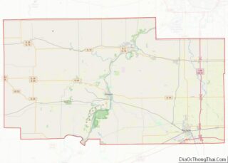
- Ogle
- Peoria
- Perry
- Piatt
- Pike
- Pope
- Pulaski
- Putnam
- Randolph
- Richland
- Rock Island
- Saint Clair
- Saline
- Sangamon
- Schuyler
- Scott
- Shelby
- Stark
- Stephenson
- Tazewell
- Union
- Vermilion
- Wabash
- Warren
- Washington
- Wayne
- White
- Whiteside
- Will
- Williamson
- Winnebago
- Woodford
- Alabama
- Alaska
- Arizona
- Arkansas
- California
- Colorado
- Connecticut
- Delaware
- District of Columbia
- Florida
- Georgia
- Hawaii
- Idaho
- Illinois
- Indiana
- Iowa
- Kansas
- Kentucky
- Louisiana
- Maine
- Maryland
- Massachusetts
- Michigan
- Minnesota
- Mississippi
- Missouri
- Montana
- Nebraska
- Nevada
- New Hampshire
- New Jersey
- New Mexico
- New York
- North Carolina
- North Dakota
- Ohio
- Oklahoma
- Oregon
- Pennsylvania
- Rhode Island
- South Carolina
- South Dakota
- Tennessee
- Texas
- Utah
- Vermont
- Virginia
- Washington
- West Virginia
- Wisconsin
- Wyoming