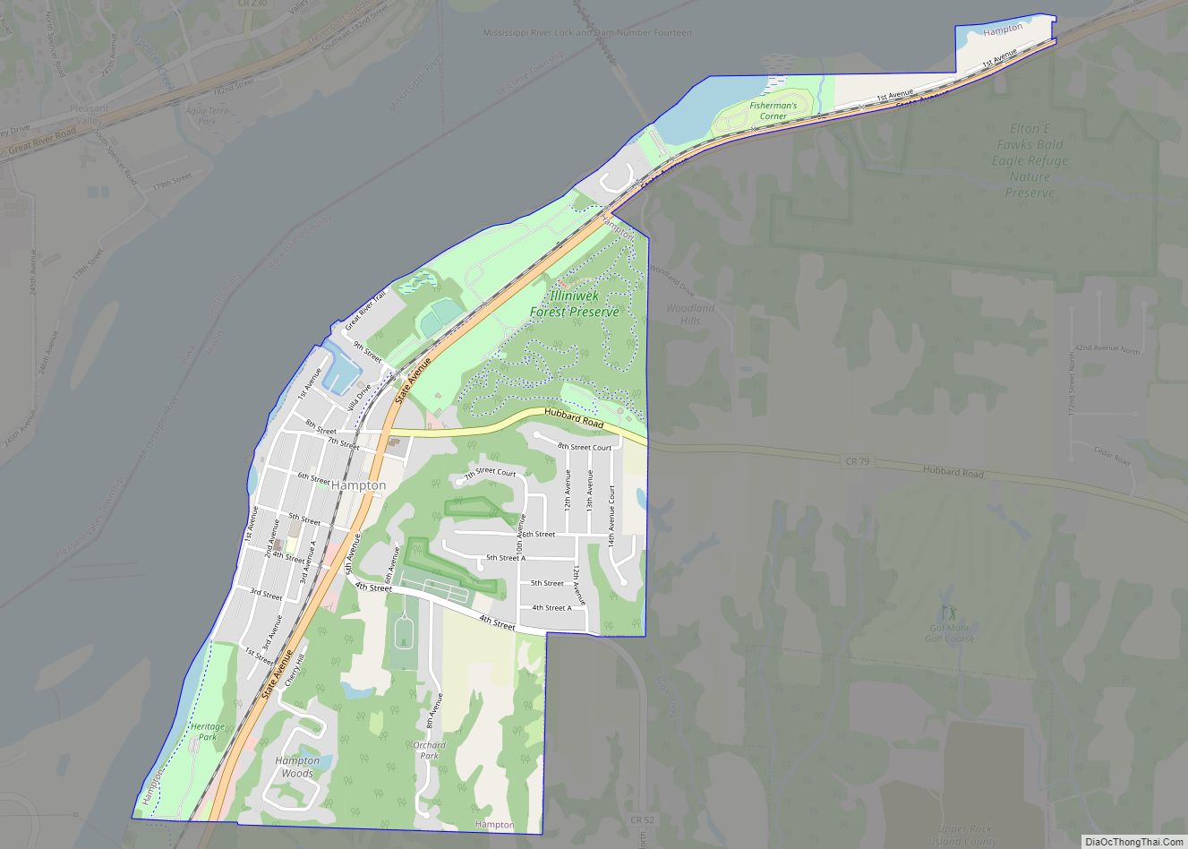
Carbon Cliff is a village in Rock Island County, Illinois, United States. The population was 2,134 at the 2010 census. It lies in the south part of Hampton Township.
| Name: | Carbon Cliff village |
|---|---|
| LSAD Code: | 47 |
| LSAD Description: | village (suffix) |
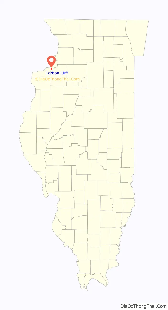
| State: | Illinois |
| County: | Rock Island County |
| Total Area: | 2.10 sq mi (5.43 km²) |
| Land Area: | 2.10 sq mi (5.43 km²) |
| Water Area: | 0.00 sq mi (0.00 km²) |
| Total Population: | 1,846 |
| Population Density: | 881.15/sq mi (340.16/km²) |
| Area code: | 309 |
| FIPS code: | 1711150 |
| Website: | www.carbon-cliff.com |
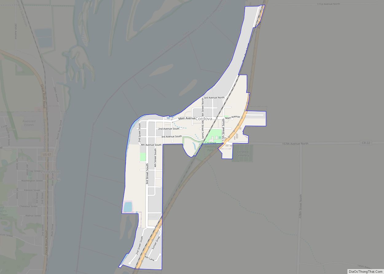
Online Interactive Map
Click on ![]() to view map in "full screen" mode.
to view map in "full screen" mode.
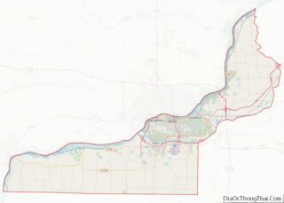
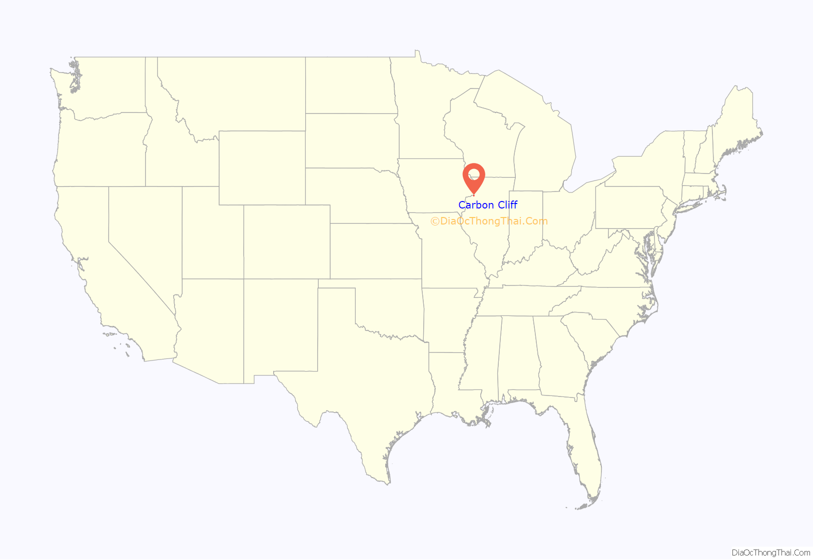
Carbon Cliff location map. Where is Carbon Cliff village?
History
The Chicago and Rock Island railroad (later the Chicago, Rock Island & Pacific) reached Carbon Cliff in 1854. By the mid-19th century, Carbon Cliff had become a coal mining center, and was named for the many coal mines that dotted the bluff west of town. The Carbon Cliff mines were the earliest worked on the west side of the Rock River. Stoehr & Schadt Coal Co and others mined extensively for many years, but by the beginning of the 20th century the limited supply of coal was nearly exhausted and mining there was discontinued.
On November 13, 1906 voters of Hampton territory petitioned the county court for permission to incorporate as a village. The citizens voted and with 55 to 28 in favor, Carbon Cliff was incorporated on December 8, 1906.
The Carbon Cliff bluffs were also known as an excellent source of clay. The Argillo Works was formed in 1865 to produce fire brick and farm-drain tile. Argillo’s products were sold throughout the country and was one of the leading industries of Rock Island County. In the 1930s, fire destroyed the plant’s offices and buildings and the firm went out of business.
From Economical Geology of Illinois, a geological survey by Illinois State Geologist A. H. Worthen, published 1882:
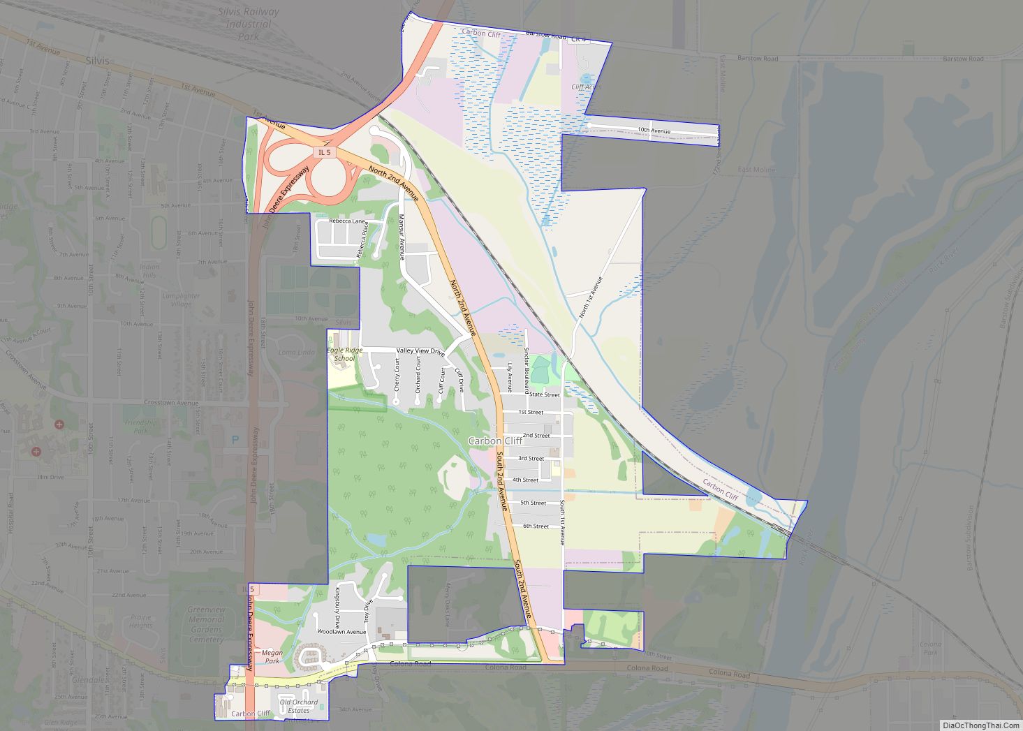
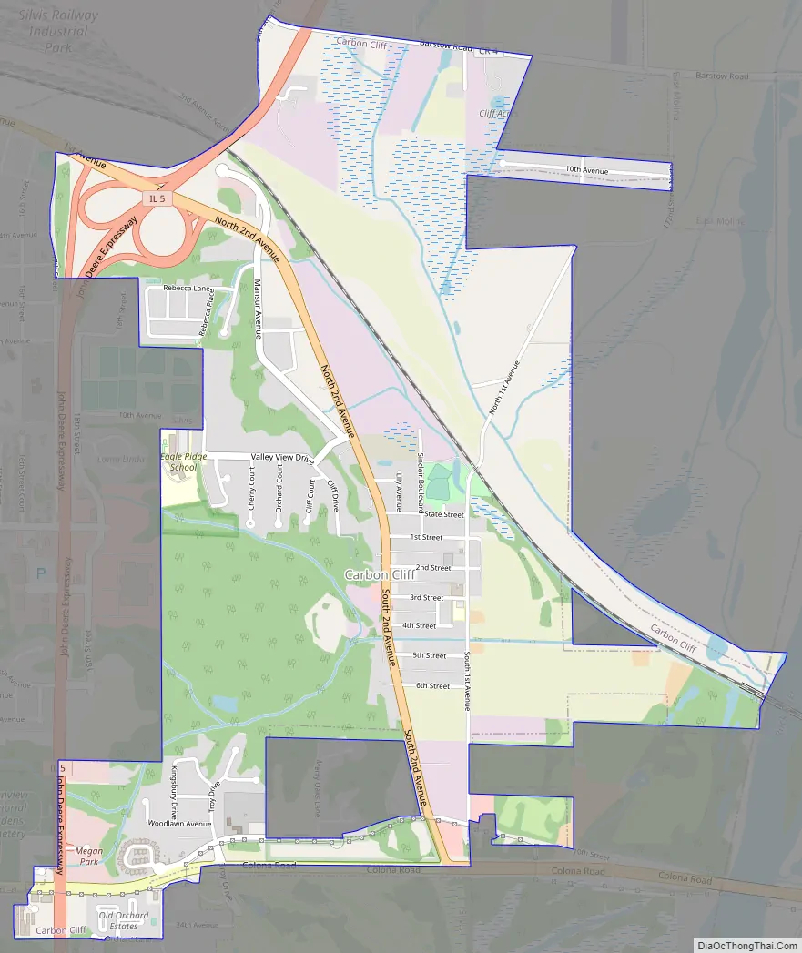
Carbon Cliff Road Map
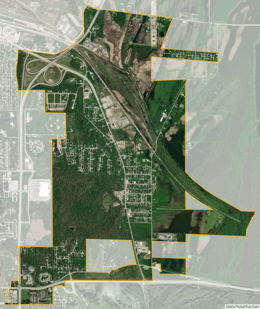
Carbon Cliff city Satellite Map
Geography
Carbon Cliff is located at 41°29′55″N 90°23′46″W / 41.49861°N 90.39611°W / 41.49861; -90.39611 (41.498698, -90.396129).
According to the 2010 census, Carbon Cliff has a total area of 2.05 square miles (5.31 km), all land.
See also
Map of Illinois State and its subdivision:- Adams
- Alexander
- Bond
- Boone
- Brown
- Bureau
- Calhoun
- Carroll
- Cass
- Champaign
- Christian
- Clark
- Clay
- Clinton
- Coles
- Cook
- Crawford
- Cumberland
- De Kalb
- De Witt
- Douglas
- Dupage
- Edgar
- Edwards
- Effingham
- Fayette
- Ford
- Franklin
- Fulton
- Gallatin
- Greene
- Grundy
- Hamilton
- Hancock
- Hardin
- Henderson
- Henry
- Iroquois
- Jackson
- Jasper
- Jefferson
- Jersey
- Jo Daviess
- Johnson
- Kane
- Kankakee
- Kendall
- Knox
- La Salle
- Lake
- Lake Michigan
- Lawrence
- Lee
- Livingston
- Logan
- Macon
- Macoupin
- Madison
- Marion
- Marshall
- Mason
- Massac
- McDonough
- McHenry
- McLean
- Menard
- Mercer
- Monroe
- Montgomery
- Morgan
- Moultrie
- Ogle
- Peoria
- Perry
- Piatt
- Pike
- Pope
- Pulaski
- Putnam
- Randolph
- Richland
- Rock Island
- Saint Clair
- Saline
- Sangamon
- Schuyler
- Scott
- Shelby
- Stark
- Stephenson
- Tazewell
- Union
- Vermilion
- Wabash
- Warren
- Washington
- Wayne
- White
- Whiteside
- Will
- Williamson
- Winnebago
- Woodford
- Alabama
- Alaska
- Arizona
- Arkansas
- California
- Colorado
- Connecticut
- Delaware
- District of Columbia
- Florida
- Georgia
- Hawaii
- Idaho
- Illinois
- Indiana
- Iowa
- Kansas
- Kentucky
- Louisiana
- Maine
- Maryland
- Massachusetts
- Michigan
- Minnesota
- Mississippi
- Missouri
- Montana
- Nebraska
- Nevada
- New Hampshire
- New Jersey
- New Mexico
- New York
- North Carolina
- North Dakota
- Ohio
- Oklahoma
- Oregon
- Pennsylvania
- Rhode Island
- South Carolina
- South Dakota
- Tennessee
- Texas
- Utah
- Vermont
- Virginia
- Washington
- West Virginia
- Wisconsin
- Wyoming