Milan (/ˈmaɪlən/ MY-lən) is a village in Rock Island County, Illinois, United States. The population was 5,099 at the 2010 census.
The village is located near the Quad Cities of Illinois and Iowa.
| Name: | Milan village |
|---|---|
| LSAD Code: | 47 |
| LSAD Description: | village (suffix) |
| State: | Illinois |
| County: | Rock Island County |
| Total Area: | 6.85 sq mi (17.74 km²) |
| Land Area: | 6.25 sq mi (16.20 km²) |
| Water Area: | 0.59 sq mi (1.54 km²) |
| Total Population: | 5,097 |
| Population Density: | 814.87/sq mi (314.62/km²) |
| Area code: | 309 |
| FIPS code: | 1749009 |
| Website: | www.milanil.org |
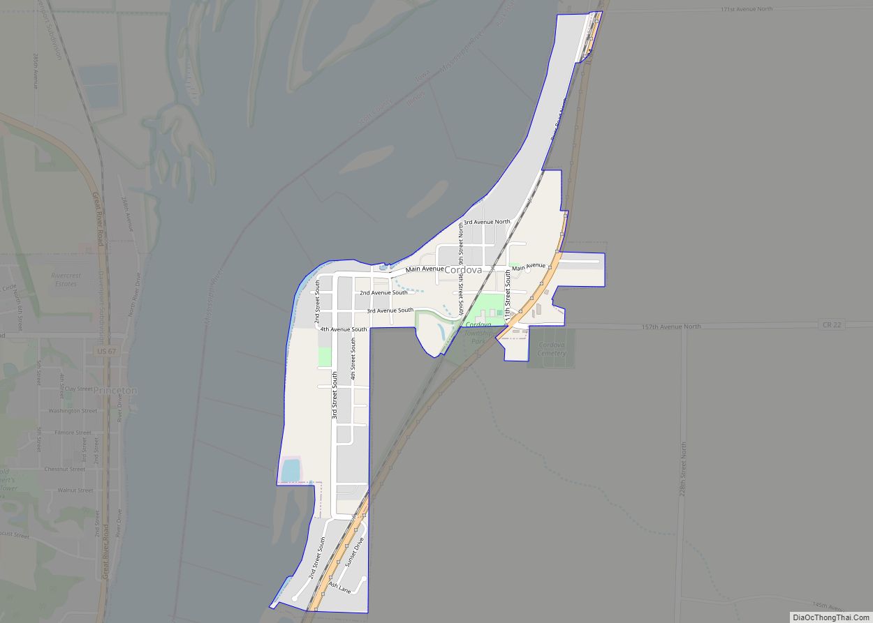
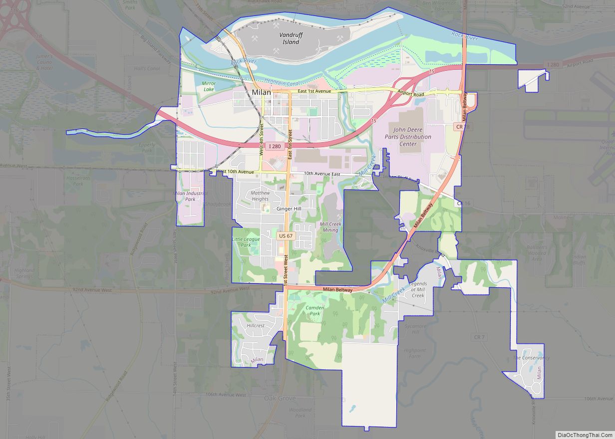
Online Interactive Map
Click on ![]() to view map in "full screen" mode.
to view map in "full screen" mode.
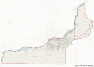
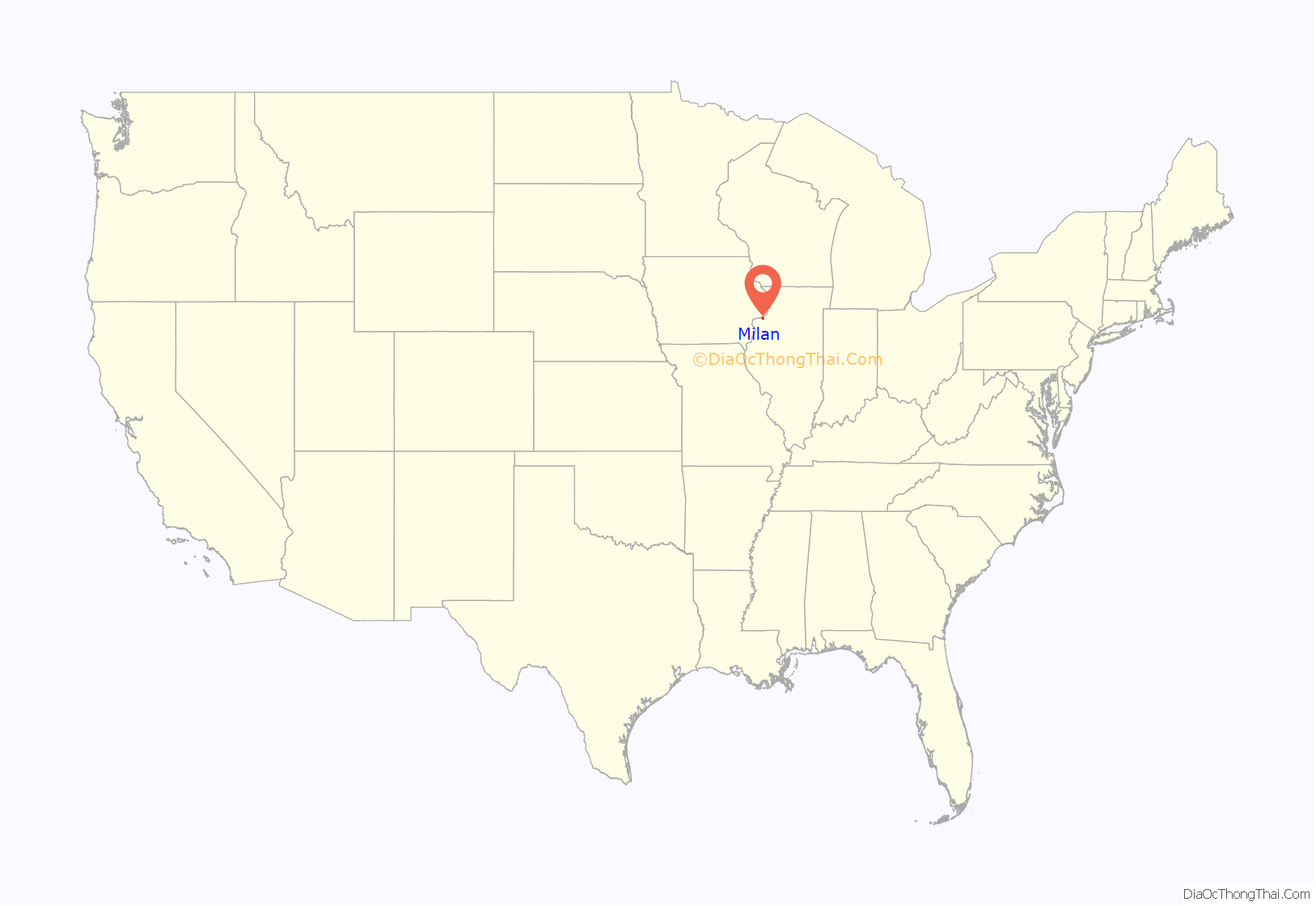
Milan location map. Where is Milan village?
History
The village is on the Rock River in northwest Illinois, about 4 miles upstream of its outlet to the Mississippi. The village is the site of the south campsites which comprised the Sauk and Fox village of Saukenuk, once the second-largest Native American inhabitation in North America.
Originally platted along the right-of-way for the Hennepin Canal, in 1837, the village site was called in land speculation papers “Hampton” (not the town in Illinois, approximately 13 miles north-northeast, on the Mississippi River—see Hampton, Illinois for more). “Hampton’s” land speculators, George Camden and Franklin Vandruff, sold land along the Rock River, along a north-west flowing creek, which was re-routed north into the Rock’s main channel. Along Mill Creek, the industries of wool-carding and (river clamshell) “pearl” button-making helped rename the village by 1841 as Camden Mills.
The village has “sister cities” in Missouri, Tennessee, and Michigan.
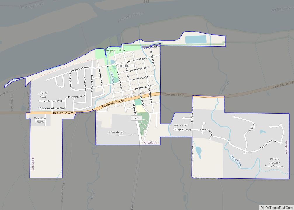
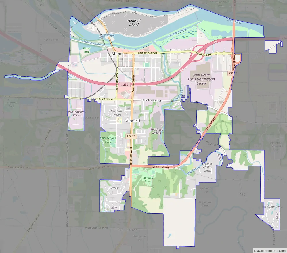
Milan Road Map
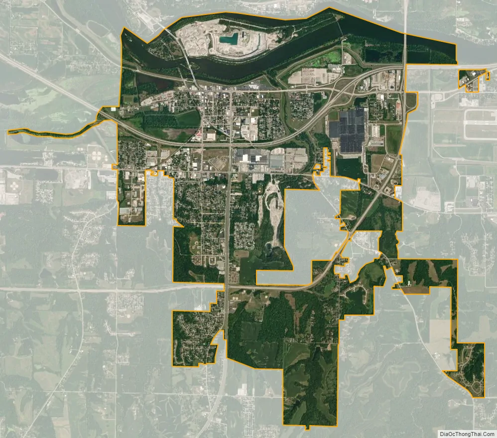
Milan city Satellite Map
Geography
Milan is located at 41°26′47″N 90°33′56″W / 41.44639°N 90.56556°W / 41.44639; -90.56556 (41.446333, -90.565487).
According to the 2010 census, Milan has a total area of 6.463 square miles (16.74 km), of which 5.87 square miles (15.20 km) (or 90.82%) is land and 0.593 square miles (1.54 km) (or 9.18%) is water.
See also
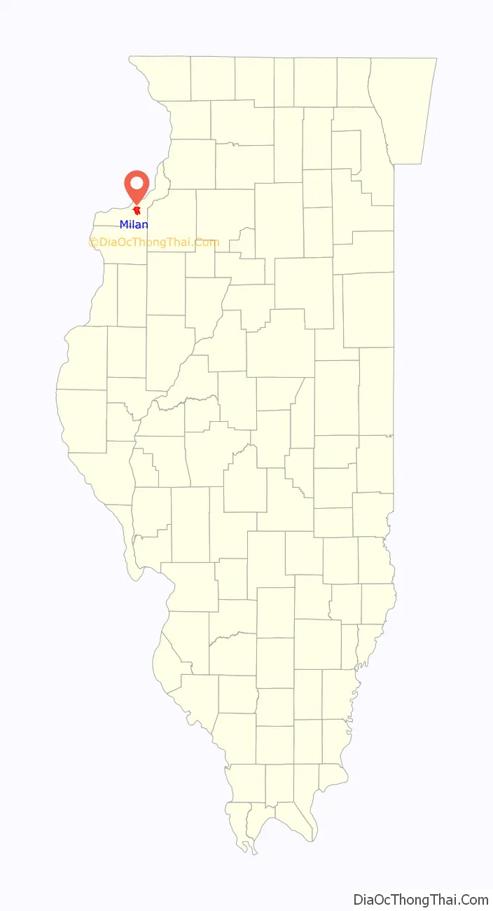
Map of Illinois State and its subdivision:- Adams
- Alexander
- Bond
- Boone
- Brown
- Bureau
- Calhoun
- Carroll
- Cass
- Champaign
- Christian
- Clark
- Clay
- Clinton
- Coles
- Cook
- Crawford
- Cumberland
- De Kalb
- De Witt
- Douglas
- Dupage
- Edgar
- Edwards
- Effingham
- Fayette
- Ford
- Franklin
- Fulton
- Gallatin
- Greene
- Grundy
- Hamilton
- Hancock
- Hardin
- Henderson
- Henry
- Iroquois
- Jackson
- Jasper
- Jefferson
- Jersey
- Jo Daviess
- Johnson
- Kane
- Kankakee
- Kendall
- Knox
- La Salle
- Lake
- Lake Michigan
- Lawrence
- Lee
- Livingston
- Logan
- Macon
- Macoupin
- Madison
- Marion
- Marshall
- Mason
- Massac
- McDonough
- McHenry
- McLean
- Menard
- Mercer
- Monroe
- Montgomery
- Morgan
- Moultrie
- Ogle
- Peoria
- Perry
- Piatt
- Pike
- Pope
- Pulaski
- Putnam
- Randolph
- Richland
- Rock Island
- Saint Clair
- Saline
- Sangamon
- Schuyler
- Scott
- Shelby
- Stark
- Stephenson
- Tazewell
- Union
- Vermilion
- Wabash
- Warren
- Washington
- Wayne
- White
- Whiteside
- Will
- Williamson
- Winnebago
- Woodford
- Alabama
- Alaska
- Arizona
- Arkansas
- California
- Colorado
- Connecticut
- Delaware
- District of Columbia
- Florida
- Georgia
- Hawaii
- Idaho
- Illinois
- Indiana
- Iowa
- Kansas
- Kentucky
- Louisiana
- Maine
- Maryland
- Massachusetts
- Michigan
- Minnesota
- Mississippi
- Missouri
- Montana
- Nebraska
- Nevada
- New Hampshire
- New Jersey
- New Mexico
- New York
- North Carolina
- North Dakota
- Ohio
- Oklahoma
- Oregon
- Pennsylvania
- Rhode Island
- South Carolina
- South Dakota
- Tennessee
- Texas
- Utah
- Vermont
- Virginia
- Washington
- West Virginia
- Wisconsin
- Wyoming