Channahon (/ˈʃænəhɒn/ SHAN-ə-hon) is a village in Grundy and Will counties in the U.S. state of Illinois. The population was 13,706 at the 2020 census.
Located in a rural area southwest of Joliet, Illinois, Channahon lies at the confluence of the Des Plaines, Kankakee, and DuPage rivers, where they form the Illinois River. The Illinois and Michigan Canal runs through the village, intersecting the DuPage at Channahon State Park. Most of the village is within Channahon Township in Will County. The current village president is Missey Moorman Schumacher.
| Name: | Channahon village |
|---|---|
| LSAD Code: | 47 |
| LSAD Description: | village (suffix) |
| State: | Illinois |
| County: | Grundy County, Will County |
| Incorporated: | December 11, 1961 (1961-12-11) |
| Elevation: | 531 ft (162 m) |
| Total Area: | 17.01 sq mi (44.06 km²) |
| Land Area: | 15.74 sq mi (40.76 km²) |
| Water Area: | 1.28 sq mi (3.30 km²) |
| Total Population: | 13,383 |
| Population Density: | 850.47/sq mi (328.36/km²) |
| Area code: | 815 |
| FIPS code: | 1712476 |
| Website: | www.channahon.org |
Online Interactive Map
Click on ![]() to view map in "full screen" mode.
to view map in "full screen" mode.
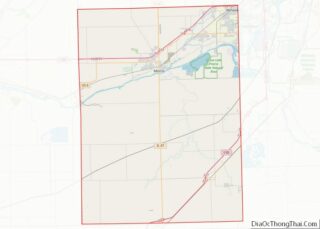
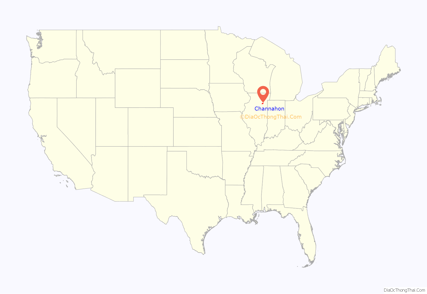
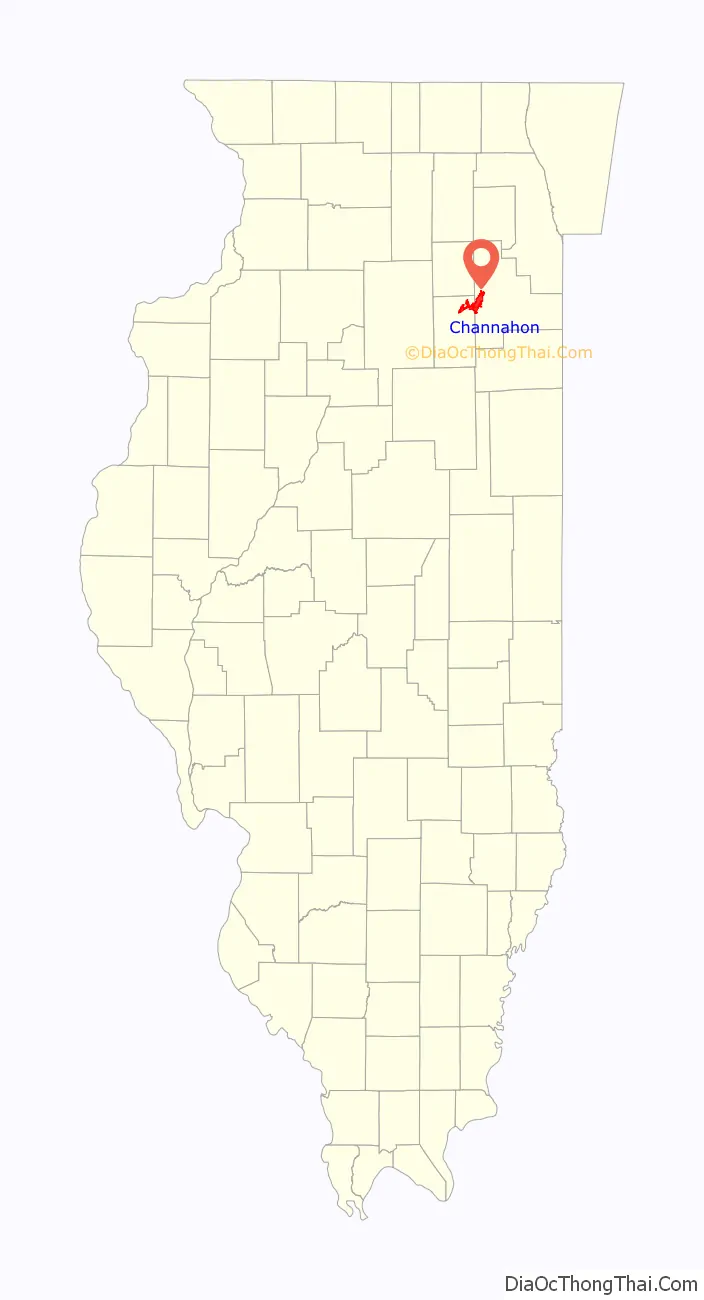
Channahon location map. Where is Channahon village?
History
Archaeological evidence suggests that the land on which the village now stands was inhabited as long as three to four thousand years ago by Mound Builders. When white settlers first arrived in the early 1830s, the region was populated by Potawatomi, with whom the early settlers had friendly relations. They called the area “Channahon” in honor of its meaning in Potawatomi, “meeting of the waters.” After a brief period of growth, the settlement dissolved.
When construction of the I&M Canal began in 1836, Channahon was chosen as the site for one of the waterway’s locks. In 1845, Myrvin Benjamin plotted a new settlement to take advantage of the two rivers and nearly-completed canal surrounding the location. First called “DuPage” for the river and then “Swifton” for the I&M Canal board president, the settlement was named Channahon when the township government was organized in 1850. Channahon prospered until the rise of railroad transportation in the late 19th century caused commerce and population in the canal town to decline. The Village of Channahon was first incorporated in 1896, but dissolved in 1908 to avoid a lawsuit after an automobile plummeted into the DuPage River due to a bridge failure.
The Channahon community saw slow growth in the first half of the 20th century. On December 11, 1961, the area was reincorporated as the Village of Channahon. Serious development finally began in the 1970s as the village’s proximity to two major interstates resulted in both residential and industrial growth (a Mobil oil refinery, two petrochemicals plants, a soybean oil production facility, CenterPoint Intermodal Center to the east in Elwood, Illinois, and numerous warehouses to the east in both Elwood and Joliet, Illinois, including Amazon and Walmart distribution centers). Channahon, once a farming community, has developed into an affluent suburb of Chicago.
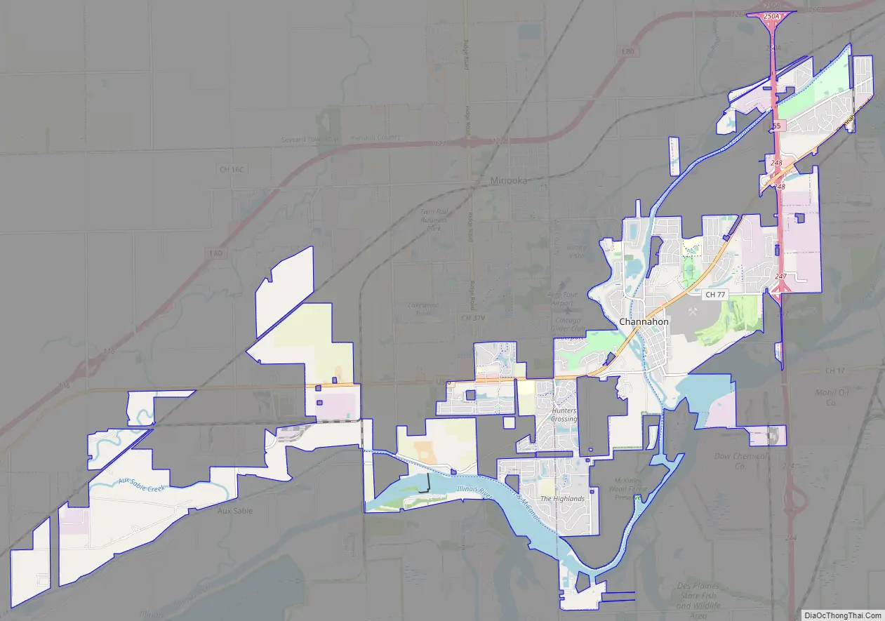
Channahon Road Map
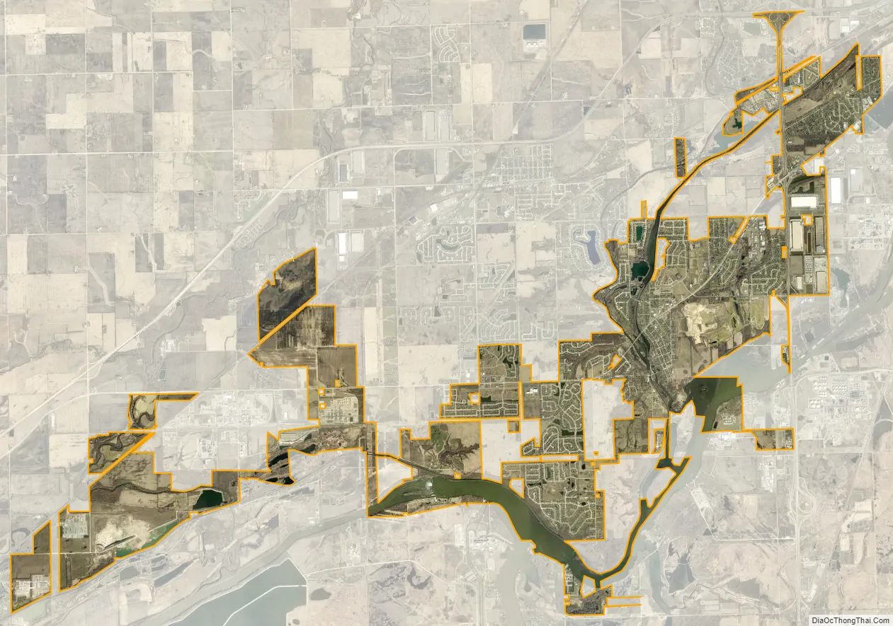
Channahon city Satellite Map
Geography
According to the 2010 census, Channahon has a total area of 16.417 square miles (42.52 km), of which 14.99 square miles (38.82 km) (or 91.31%) is land and 1.427 square miles (3.70 km) (or 8.69%) is water.
Climate
Channahon experiences cold winters with plenty of snow. Its summers are hot and humid, with cooling rains occurring frequently. The temperatures vary from 18°F to 84°F on average, with extremes reaching -2°F and 92°F on average.
Cloud coverage in Channahon varies from month to month. The time of the year with the most clouds is October 27 to June 13. The cloudiest month on average is December, and the least cloudy month on average is August.
Channahon has differing amounts of precipitation throughout the year. The time with the most rain is between March 27 to September 24. The month with the most precipitation is June.
See also
Map of Illinois State and its subdivision:- Adams
- Alexander
- Bond
- Boone
- Brown
- Bureau
- Calhoun
- Carroll
- Cass
- Champaign
- Christian
- Clark
- Clay
- Clinton
- Coles
- Cook
- Crawford
- Cumberland
- De Kalb
- De Witt
- Douglas
- Dupage
- Edgar
- Edwards
- Effingham
- Fayette
- Ford
- Franklin
- Fulton
- Gallatin
- Greene
- Grundy
- Hamilton
- Hancock
- Hardin
- Henderson
- Henry
- Iroquois
- Jackson
- Jasper
- Jefferson
- Jersey
- Jo Daviess
- Johnson
- Kane
- Kankakee
- Kendall
- Knox
- La Salle
- Lake
- Lake Michigan
- Lawrence
- Lee
- Livingston
- Logan
- Macon
- Macoupin
- Madison
- Marion
- Marshall
- Mason
- Massac
- McDonough
- McHenry
- McLean
- Menard
- Mercer
- Monroe
- Montgomery
- Morgan
- Moultrie
- Ogle
- Peoria
- Perry
- Piatt
- Pike
- Pope
- Pulaski
- Putnam
- Randolph
- Richland
- Rock Island
- Saint Clair
- Saline
- Sangamon
- Schuyler
- Scott
- Shelby
- Stark
- Stephenson
- Tazewell
- Union
- Vermilion
- Wabash
- Warren
- Washington
- Wayne
- White
- Whiteside
- Will
- Williamson
- Winnebago
- Woodford
- Alabama
- Alaska
- Arizona
- Arkansas
- California
- Colorado
- Connecticut
- Delaware
- District of Columbia
- Florida
- Georgia
- Hawaii
- Idaho
- Illinois
- Indiana
- Iowa
- Kansas
- Kentucky
- Louisiana
- Maine
- Maryland
- Massachusetts
- Michigan
- Minnesota
- Mississippi
- Missouri
- Montana
- Nebraska
- Nevada
- New Hampshire
- New Jersey
- New Mexico
- New York
- North Carolina
- North Dakota
- Ohio
- Oklahoma
- Oregon
- Pennsylvania
- Rhode Island
- South Carolina
- South Dakota
- Tennessee
- Texas
- Utah
- Vermont
- Virginia
- Washington
- West Virginia
- Wisconsin
- Wyoming