Clinton is the largest city in DeWitt County, Illinois, United States. The population was 7,004 at the 2020 census. It is the county seat of DeWitt County.
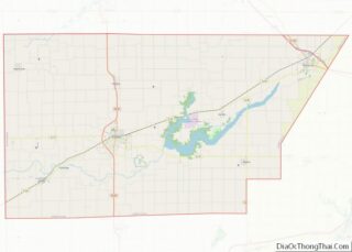
The city and the county are named for DeWitt Clinton, governor of New York, 1817–1823. Clinton Nuclear Generating Station is located six miles away on Clinton Lake.
| Name: | Clinton city |
|---|---|
| LSAD Code: | 25 |
| LSAD Description: | city (suffix) |
| State: | Illinois |
| County: | De Witt County |
| Elevation: | 726 ft (221 m) |
| Total Area: | 3.54 sq mi (9.18 km²) |
| Land Area: | 3.54 sq mi (9.18 km²) |
| Water Area: | 0.00 sq mi (0.00 km²) |
| Total Population: | 7,004 |
| Population Density: | 1,976.30/sq mi (762.95/km²) |
| Area code: | 217 |
| FIPS code: | 1715001 |
| Website: | www.clintonillinois.com |
Online Interactive Map
Click on ![]() to view map in "full screen" mode.
to view map in "full screen" mode.
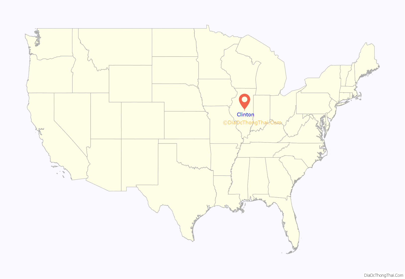
Clinton location map. Where is Clinton city?
History
The city was founded in 1835 by Jesse W. Fell of Bloomington, Illinois, a land speculator and lawyer, and James Allen, a representative in the Illinois State Legislature. The two men were on their way from Decatur, Illinois back to Bloomington after a business trip and stopped to rest their horses on the open prairie halfway between the two cities. It occurred to them that this was an ideal location for a settlement, as there was nothing else nearby. They named the town in honor of DeWitt Clinton.
Clinton is on the 8th Judicial Circuit, on which Abraham Lincoln traveled, along with Judge David Davis, for twenty years. Lincoln acted as lawyer because lawyers were scarce in the area at the time.
One of the two registered historical locations in DeWitt County, the C.H. Moore House, is located in Clinton. The house was purchased and improved by lawyer Clifton H. Moore in the 1880s, and is now the DeWitt County Museum. Moore’s private library of more than 7,000 volumes was left to the city upon his death in 1901. These books would make up the first collection of the Vespasian Warner Public Library, founded by and named for Moore’s son-in-law.
In 1858, Abraham Lincoln gave a speech in Clinton to which the following quotation has been attributed:
on Sept. 18, according to Carl Sandburg. However, there is no official transcript of the speech. Lincoln’s collected papers has a version of the speech taken from a contemporary copy in the Bloomington Pantagraph which doesn’t contain it. It has also been attributed to a speech by Lincoln in Bloomington, IL two years earlier, and there is controversy over whether or not Lincoln ever said it at all.
Clinton Road Map
Clinton city Satellite Map
Geography
Clinton is centrally located in the heart of Illinois, at 40°9′8″N 88°57′33″W / 40.15222°N 88.95917°W / 40.15222; -88.95917 (40.152240, -88.959214), accessible from Routes 51, 54, and 10.
According to the 2021 census gazetteer files, Clinton has a total area of 3.54 square miles (9.17 km), all land.
See also
Map of Illinois State and its subdivision:- Adams
- Alexander
- Bond
- Boone
- Brown
- Bureau
- Calhoun
- Carroll
- Cass
- Champaign
- Christian
- Clark
- Clay
- Clinton
- Coles
- Cook
- Crawford
- Cumberland
- De Kalb
- De Witt
- Douglas
- Dupage
- Edgar
- Edwards
- Effingham
- Fayette
- Ford
- Franklin
- Fulton
- Gallatin
- Greene
- Grundy
- Hamilton
- Hancock
- Hardin
- Henderson
- Henry
- Iroquois
- Jackson
- Jasper
- Jefferson
- Jersey
- Jo Daviess
- Johnson
- Kane
- Kankakee
- Kendall
- Knox
- La Salle
- Lake
- Lake Michigan
- Lawrence
- Lee
- Livingston
- Logan
- Macon
- Macoupin
- Madison
- Marion
- Marshall
- Mason
- Massac
- McDonough
- McHenry
- McLean
- Menard
- Mercer
- Monroe
- Montgomery
- Morgan
- Moultrie
- Ogle
- Peoria
- Perry
- Piatt
- Pike
- Pope
- Pulaski
- Putnam
- Randolph
- Richland
- Rock Island
- Saint Clair
- Saline
- Sangamon
- Schuyler
- Scott
- Shelby
- Stark
- Stephenson
- Tazewell
- Union
- Vermilion
- Wabash
- Warren
- Washington
- Wayne
- White
- Whiteside
- Will
- Williamson
- Winnebago
- Woodford
- Alabama
- Alaska
- Arizona
- Arkansas
- California
- Colorado
- Connecticut
- Delaware
- District of Columbia
- Florida
- Georgia
- Hawaii
- Idaho
- Illinois
- Indiana
- Iowa
- Kansas
- Kentucky
- Louisiana
- Maine
- Maryland
- Massachusetts
- Michigan
- Minnesota
- Mississippi
- Missouri
- Montana
- Nebraska
- Nevada
- New Hampshire
- New Jersey
- New Mexico
- New York
- North Carolina
- North Dakota
- Ohio
- Oklahoma
- Oregon
- Pennsylvania
- Rhode Island
- South Carolina
- South Dakota
- Tennessee
- Texas
- Utah
- Vermont
- Virginia
- Washington
- West Virginia
- Wisconsin
- Wyoming
