Cullom is a village in Livingston County, Illinois, United States. Cullom is situated twenty miles east of Pontiac which is the county seat, and is one mile west of the Ford County line. The population was 555 at the 2010 census.
| Name: | Cullom village |
|---|---|
| LSAD Code: | 47 |
| LSAD Description: | village (suffix) |
| State: | Illinois |
| County: | Livingston County |
| Elevation: | 683 ft (208 m) |
| Total Area: | 0.34 sq mi (0.87 km²) |
| Land Area: | 0.34 sq mi (0.87 km²) |
| Water Area: | 0.00 sq mi (0.00 km²) |
| Total Population: | 520 |
| Population Density: | 1,552.24/sq mi (599.54/km²) |
| ZIP code: | 60929 |
| Area code: | 815 |
| FIPS code: | 1718030 |
| Website: | villageofcullomillinois.com |
Online Interactive Map
Click on ![]() to view map in "full screen" mode.
to view map in "full screen" mode.
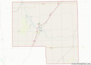
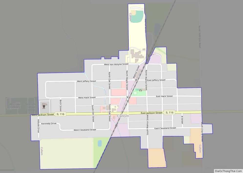
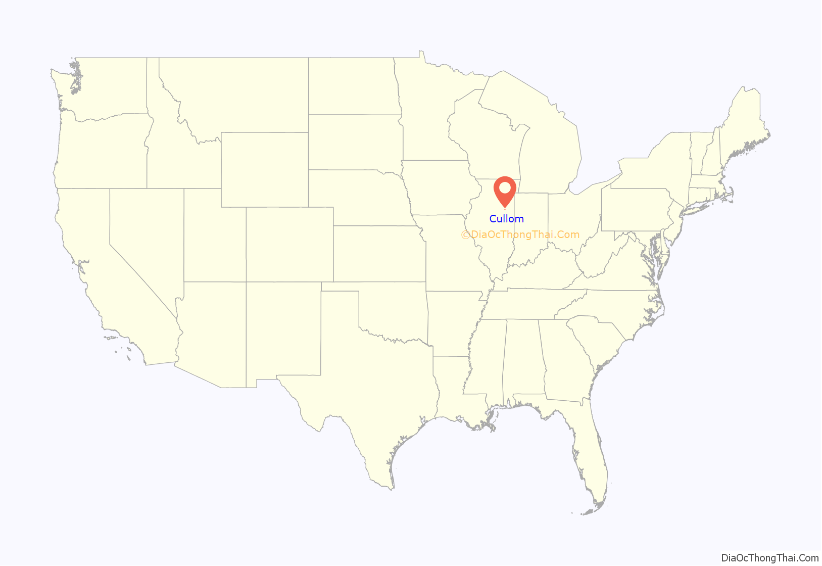
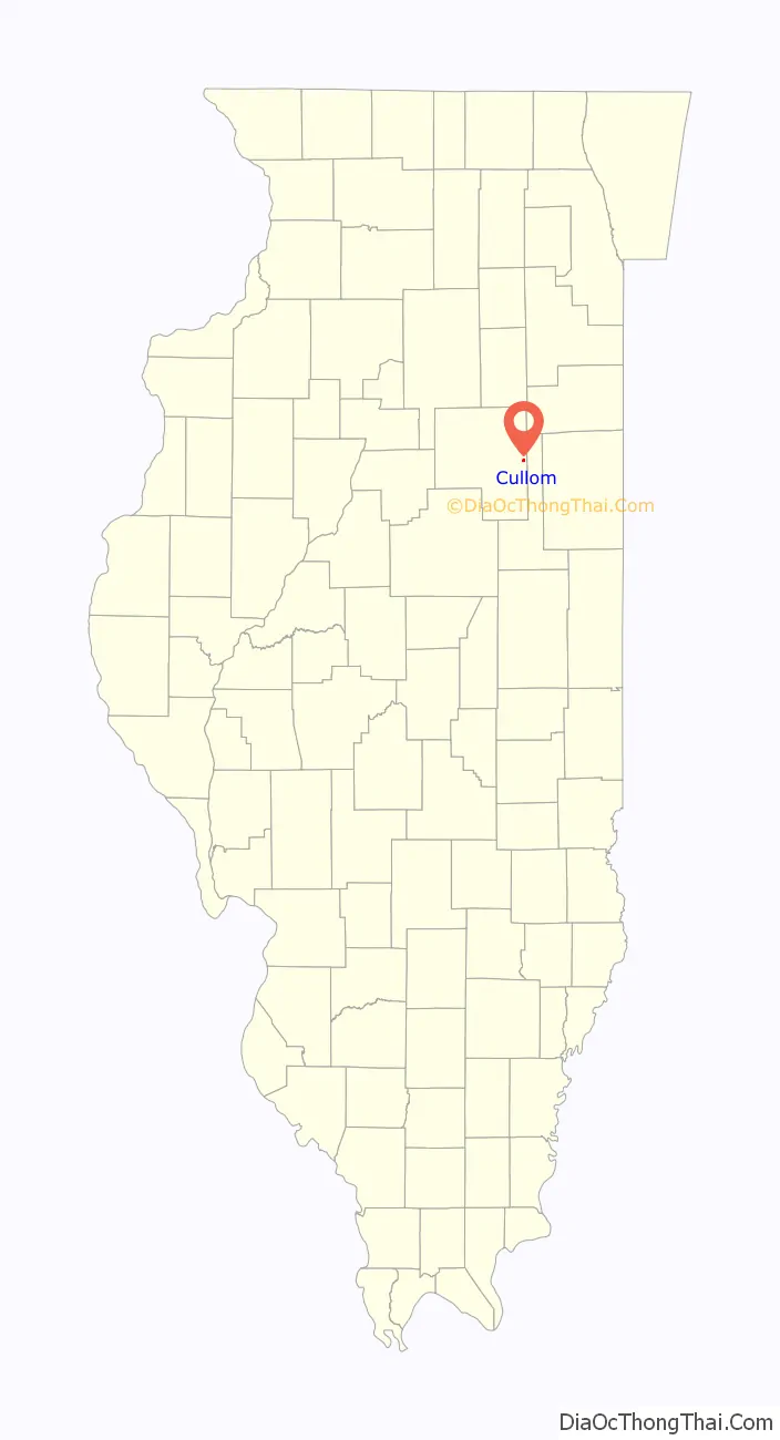
Cullom location map. Where is Cullom village?
History
Cullom owes its beginning to the Illinois Central Railroad which reached the village in 1878. The location of the village was established by Frederick Hack who granted a 90 foot right of way across his farm and paid a cash bonus of $4000 to the railroad company. Hack platted and laid out the village and donated forty acres of land on which to build it.
The village was named for Shelby Moore Cullom, 17th governor of Illinois. The story was that Mr. Hack wanted the town called Jeffrey after the man who was roadmaster of the Illinois Central Railroad at that time. Jeffrey wanted the town called Hack but he declined the honor. The two men then compromised and called it Cullom. The governor was notified of their decision, and he sent a draft for $25, to be given to the denomination that built the first church in the village. The money was given to the Methodists which built the first church in 1880.
The main street going through the business district was then called Hack Street in honor of Mr. Hack. The first building was moved here from Chatsworth, Illinois in the fall of 1878 by John Tims. It was used for a lumber office. J. W. White and Dr. Keck arrived about the same time from Barrington, Illinois and shipped the first lumber into town with which to erect a building that was later used as a saloon.
James Righter moved a two-story frame building from Sullivan Center, Illinois which was used for a general store. Another store building was erected on Maple Street by Dr. Kay and E. K. Brown which was later known as Crosten’s Drug Store.
A post office has been in operation at Cullom since 1878.John Weinland was the first postmaster. He had a small building near the stockyards and traded hogs and grain as a sideline. He also sold building lots for Mr. Hack, some of them selling for $15.
Peter Gingry and Andrew Keck Sr. operated the first saloon and Mike Harshbarger ran a pool hall in an adjoining room. Cullom’s first train depot was a small “two by four” building which was used until a better one was moved from Kempton, Illinois on a flat car. James Fitzmaurice was the first permanent station agent. David Farmer built a brick building, known as the Cullom Hotel, on Maple Street which was used for many purposes. Some of the early businessmen rented space there to start a store before buying a building of their own. The first school in Cullom was built about 1880. It was a frame building and consisted of two rooms. The primary room on the lower floor and the intermediate grades on the upper floor.
Although Cullom was started in 1878, it was not incorporated until July 27, 1882, the charter being signed by James A. Rose, Secretary of State. Election of the village officers was held in August with the following being elected: Mayor: Jesse Hatfield; Trustees: Frederick Hack, Dr. Z. L. Kay, James Dorsey, J.W. White, A. Loubke; Clerk: W. C. Bullard.
The town was enlarged in 1901 and 1902 with the Hertlein’s addition to the south and east and Peterdorf’s addition to the west. A few years later Heckelmans addition to the east and north further enlarged the village. By the early 1900s the population of Cullom had risen to over 500. H. G. Steiman of Melvin, Illinois came to Cullom and opened the first bank called the First National Bank in 1907.
At one time Cullom had four grocery stores, five saloons, two hotels, a bank, a milliner shop, a hardware store, a drug store, a post office, a clothing store, a pool and billiard hall, a cobbler, a baker, a confectionery and ice cream parlor, a shoe store, two barbershops, a tin shop, two blacksmith shops, a glove factory, two livery barns, a cement factory, three doctors, a weekly newspaper, a tile factory, and two grain elevators.
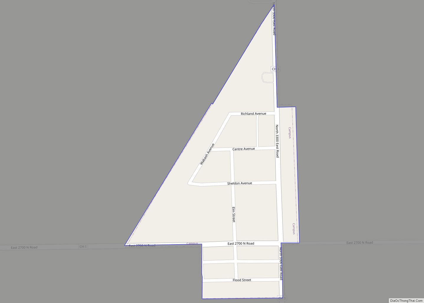
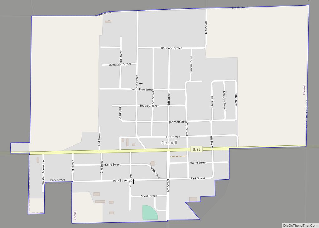
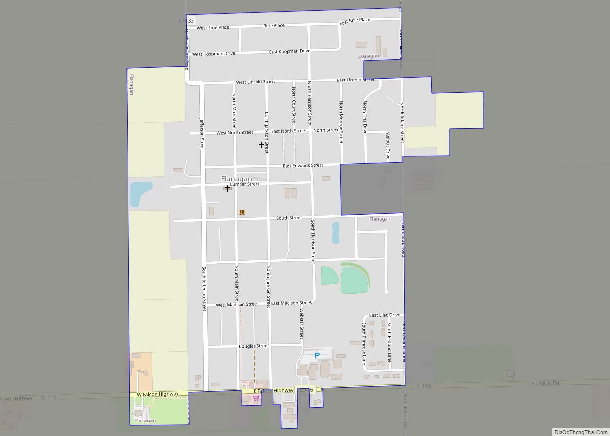
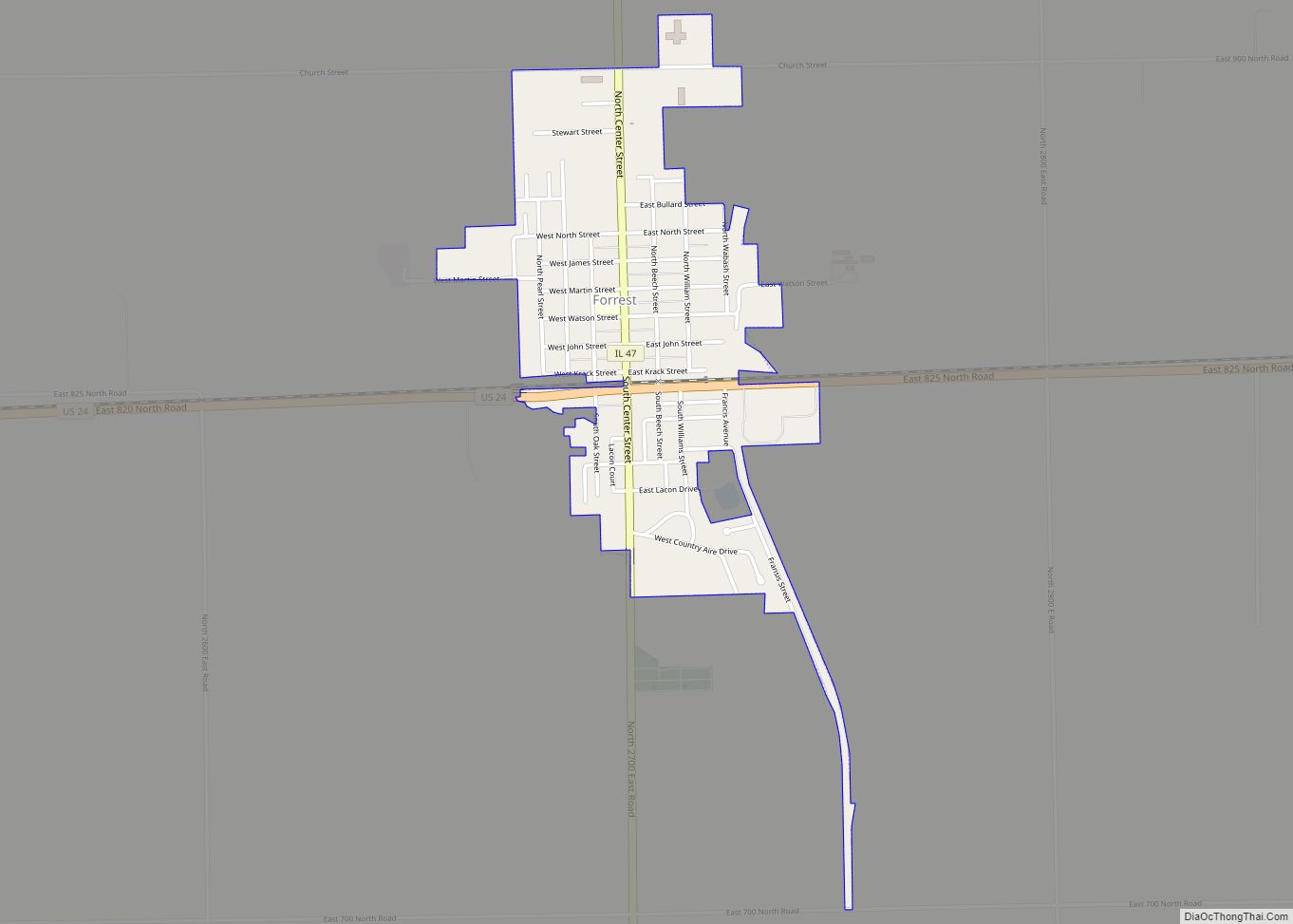
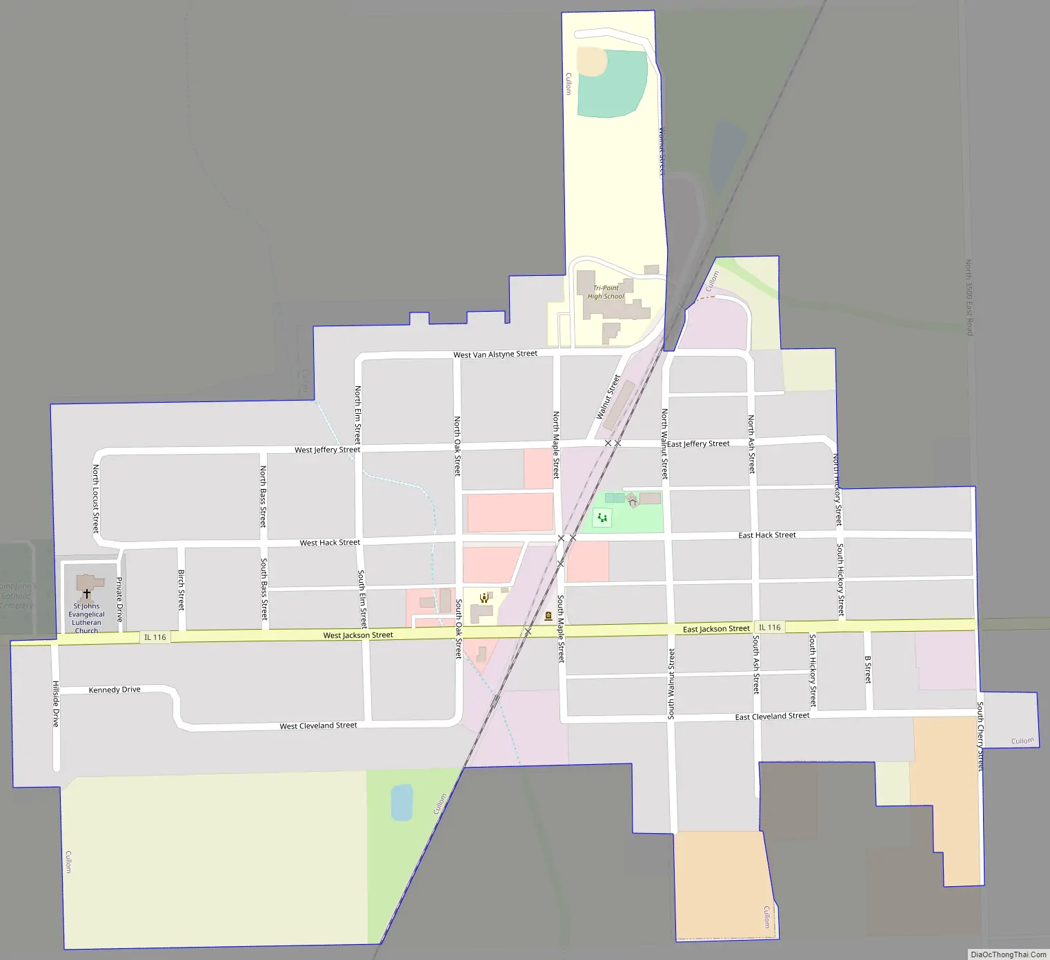
Cullom Road Map
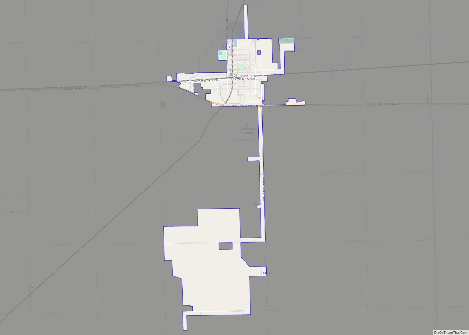
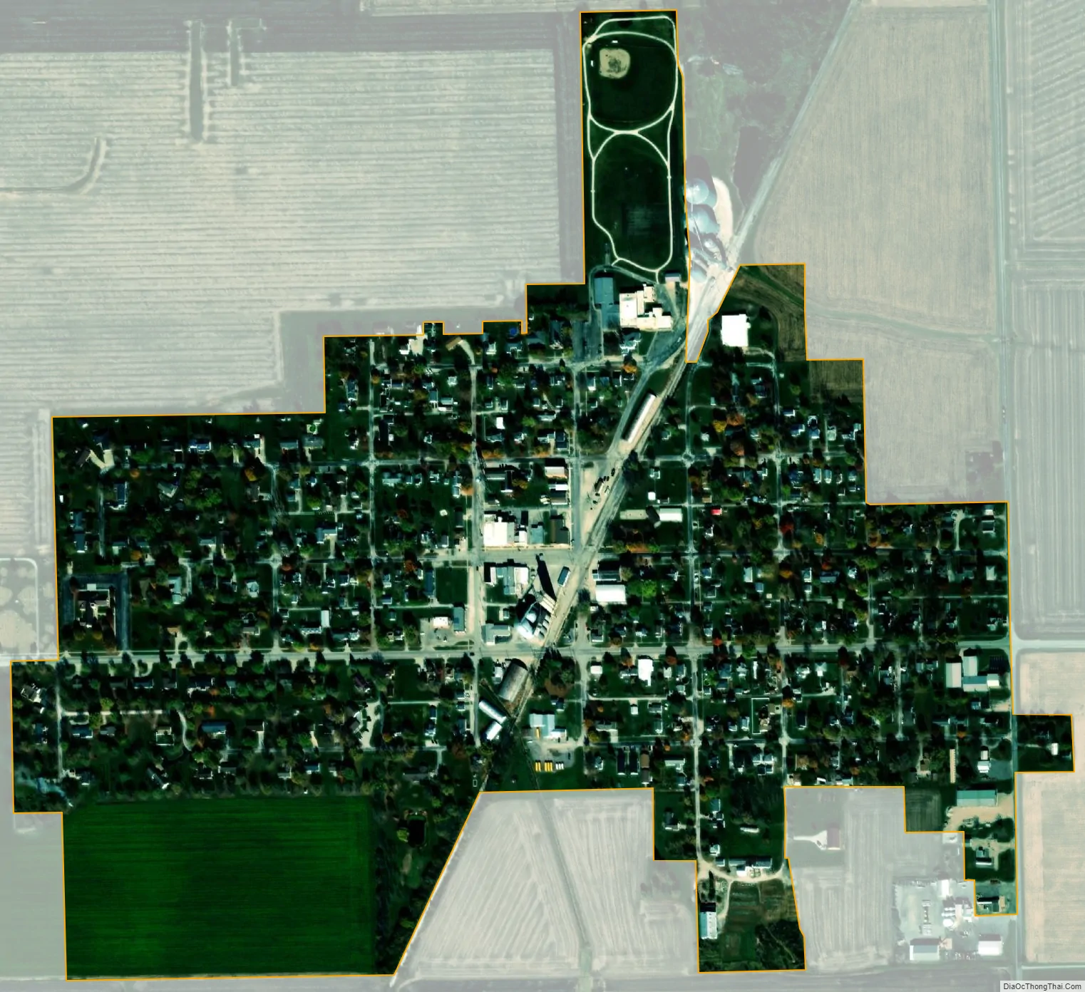
Cullom city Satellite Map
Geography
Cullom is located in eastern Livingston County at 40°52′42″N 88°16′8″W / 40.87833°N 88.26889°W / 40.87833; -88.26889 (40.878205, -88.268981). It is the only incorporated community in Sullivan Township.
Illinois Route 116 passes through the village, leading west 20 miles (32 km) to Pontiac, the county seat, and east 16 miles (26 km) to Ashkum. Route 116 connects to Interstate 55 on the west side of Pontiac and to Interstate 57 on the west side of Ashkum.
According to the 2010 census, Cullom has a total area of 0.33 square miles (0.85 km), all land.
See also
Map of Illinois State and its subdivision:- Adams
- Alexander
- Bond
- Boone
- Brown
- Bureau
- Calhoun
- Carroll
- Cass
- Champaign
- Christian
- Clark
- Clay
- Clinton
- Coles
- Cook
- Crawford
- Cumberland
- De Kalb
- De Witt
- Douglas
- Dupage
- Edgar
- Edwards
- Effingham
- Fayette
- Ford
- Franklin
- Fulton
- Gallatin
- Greene
- Grundy
- Hamilton
- Hancock
- Hardin
- Henderson
- Henry
- Iroquois
- Jackson
- Jasper
- Jefferson
- Jersey
- Jo Daviess
- Johnson
- Kane
- Kankakee
- Kendall
- Knox
- La Salle
- Lake
- Lake Michigan
- Lawrence
- Lee
- Livingston
- Logan
- Macon
- Macoupin
- Madison
- Marion
- Marshall
- Mason
- Massac
- McDonough
- McHenry
- McLean
- Menard
- Mercer
- Monroe
- Montgomery
- Morgan
- Moultrie
- Ogle
- Peoria
- Perry
- Piatt
- Pike
- Pope
- Pulaski
- Putnam
- Randolph
- Richland
- Rock Island
- Saint Clair
- Saline
- Sangamon
- Schuyler
- Scott
- Shelby
- Stark
- Stephenson
- Tazewell
- Union
- Vermilion
- Wabash
- Warren
- Washington
- Wayne
- White
- Whiteside
- Will
- Williamson
- Winnebago
- Woodford
- Alabama
- Alaska
- Arizona
- Arkansas
- California
- Colorado
- Connecticut
- Delaware
- District of Columbia
- Florida
- Georgia
- Hawaii
- Idaho
- Illinois
- Indiana
- Iowa
- Kansas
- Kentucky
- Louisiana
- Maine
- Maryland
- Massachusetts
- Michigan
- Minnesota
- Mississippi
- Missouri
- Montana
- Nebraska
- Nevada
- New Hampshire
- New Jersey
- New Mexico
- New York
- North Carolina
- North Dakota
- Ohio
- Oklahoma
- Oregon
- Pennsylvania
- Rhode Island
- South Carolina
- South Dakota
- Tennessee
- Texas
- Utah
- Vermont
- Virginia
- Washington
- West Virginia
- Wisconsin
- Wyoming