Forrest is a village in Livingston County, Illinois, United States. The population was 1,220 at the 2010 census.
| Name: | Forrest village |
|---|---|
| LSAD Code: | 47 |
| LSAD Description: | village (suffix) |
| State: | Illinois |
| County: | Livingston County |
| Elevation: | 683 ft (208 m) |
| Total Area: | 0.65 sq mi (1.68 km²) |
| Land Area: | 0.65 sq mi (1.68 km²) |
| Water Area: | 0.00 sq mi (0.00 km²) |
| Total Population: | 1,041 |
| Population Density: | 1,606.48/sq mi (619.93/km²) |
| ZIP code: | 61741 |
| Area code: | 815 |
| FIPS code: | 1727026 |
| Website: | www.forrestil.org |
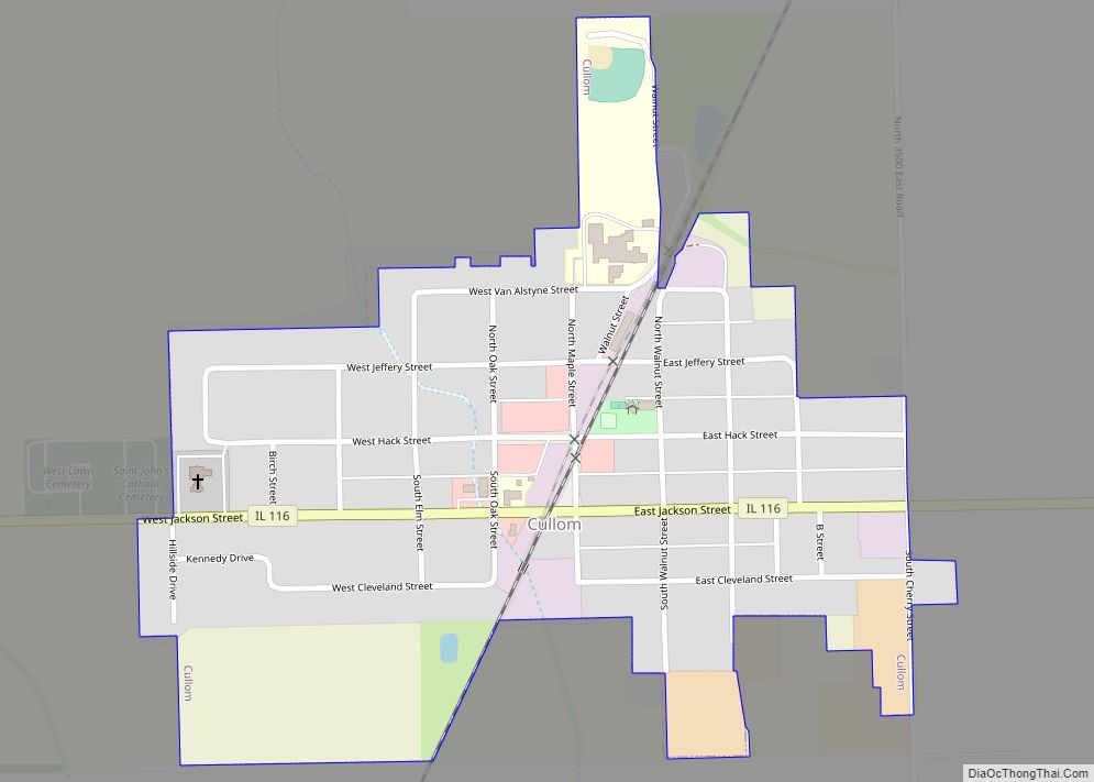
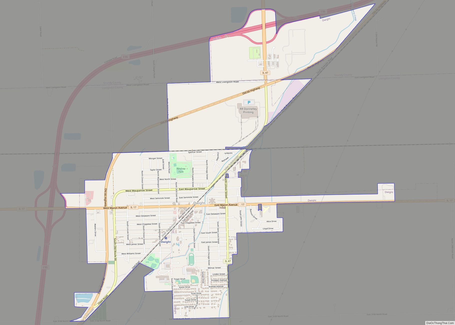
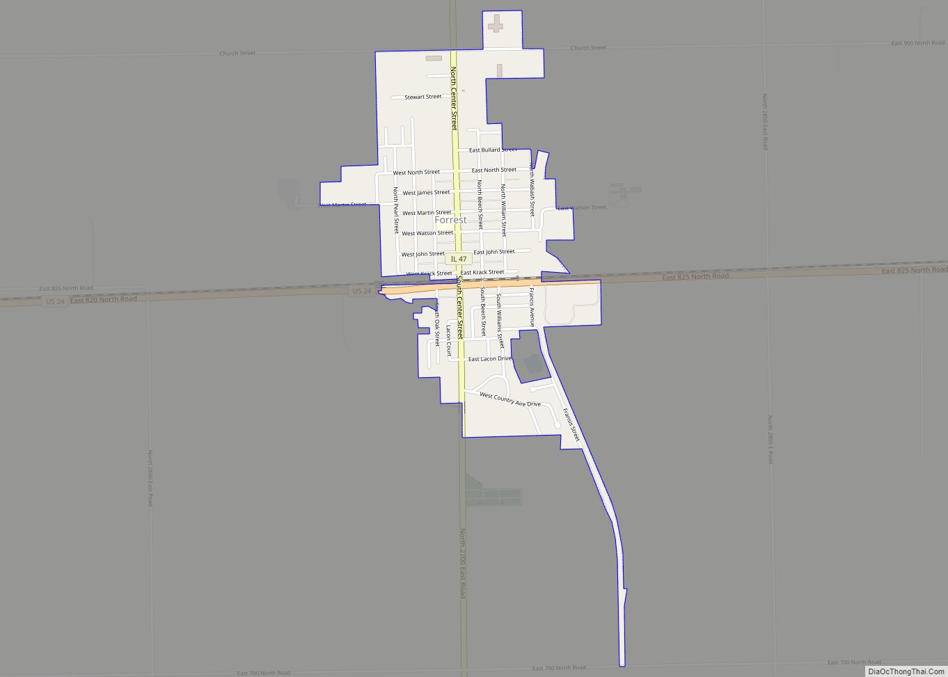
Online Interactive Map
Click on ![]() to view map in "full screen" mode.
to view map in "full screen" mode.
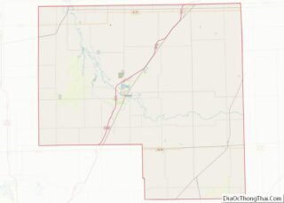
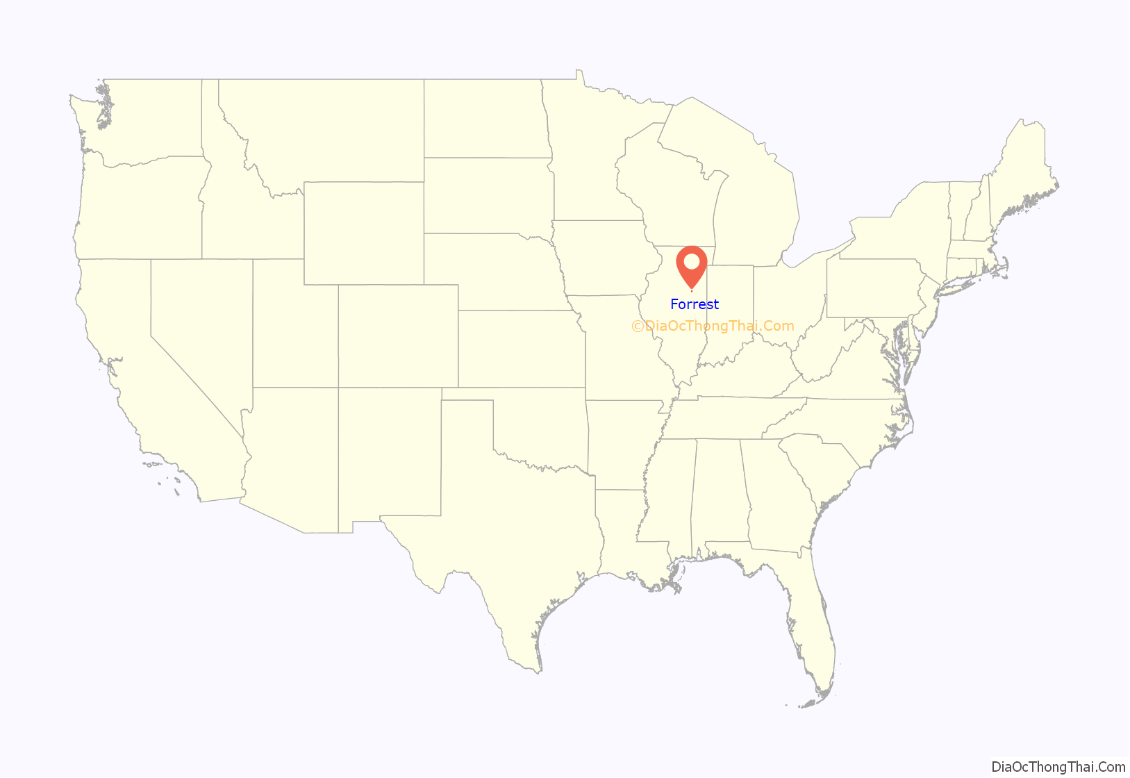
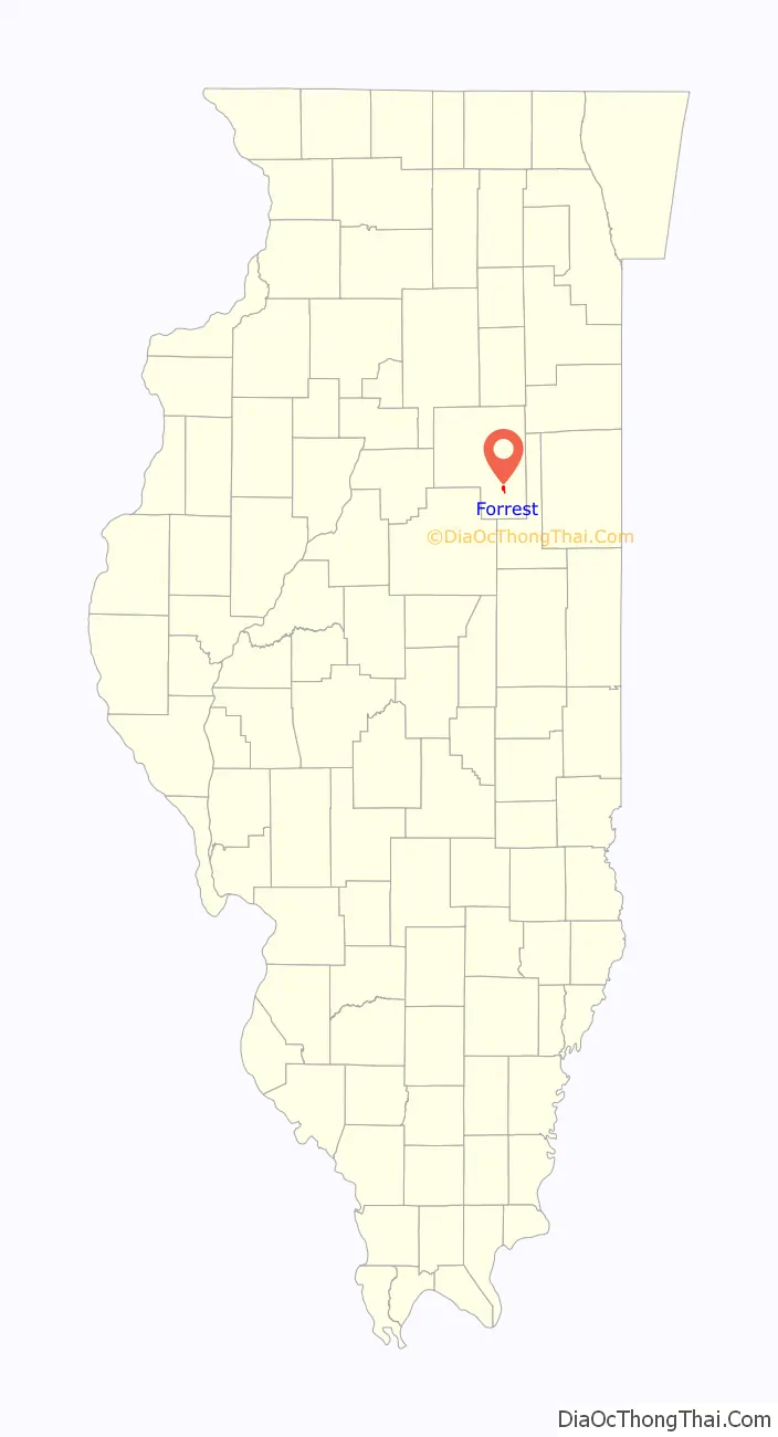
Forrest location map. Where is Forrest village?
History
Founding and naming
Forrest was laid out on December 11, 1866, by Israel J. Krack (1816 – 1900). Krack was born in Baltimore, Maryland. Both of his parents had come from Germany. He was briefly a teacher, lived in Indiana, and came to Livingston County in 1854. Krack was a farmer, notary public, grain dealer, and in later life an insurance agent. Krack was elected to the Illinois General Assembly in 1872 and became treasurer of Livingston County in 1878. Krack Street, which parallels the railroad, was named for the town’s founder. When Forrest was established, the Toledo, Peoria and Western Railroad had already been in operation for almost ten years, and therefore the origin of the town is unlike Fairbury, Chatsworth, Chenoa, Gridley and El Paso, all of which were founded when the railroad was first built. Within a few years of its founding, the people of Forrest did not know the full name of the person for whom the town was named. The author of the 1878 History of Livingston County says only two things about Mr. Forrest: he was a business partner of C. L. Frost, an official of the Toledo, Peoria and Western, and that he had promised to do something for the young village and that promise was “unfulfilled”. The first version of the name was said to be “Forestville”, spelled with one “r”, but the “Forrest” spelling quickly came into use. Forrest Township was created soon after the village was founded and took its name from the village.
Design and commerce
In 1861 or 1862, before the town was platted, Israel J. Krack was operating a grain elevator at the location. Like most towns of the period, the plan of the original town of Forrest was centered on a long narrow depot grounds, which were on the north side of the tracks. The plat was for a simple grid of twenty blocks. The first house in Forrest was built by Mr. Krack, who was also the first postmaster and the first station agent. He also laid out many additions to the town. The first hotel was built by William Umberfield and was known as the Forrest House. The first mill was built by R. B. Wilson. The first church was built by the Methodists in 1868. The town grew rapidly and by 1890 had over 1,000 people. Forrest, like almost every other early town of central Illinois during this period, was built from inexpensive pine lumber brought in by the railroad from Michigan or Wisconsin. In the winter of 1868-1869 much of the business district, including one grain warehouse, was burned. It was quickly rebuilt. This was the first of many fires that plagued the new town. In 1890 a particularly devastating blaze destroyed much of downtown Forrest. Rebuilding was rapid, and by 1893 there were five hotels.
Introduction of the Wabash Railroad
The people of Forrest worked to attract a second railroad. At first there were hopes that the Chicago and Paducah Railroad could be induced to construct its tracks through the town, but this road was diverted to nearby Fairbury. Success came when the Wabash Railroad was constructed through Forrest in 1880. On May 1 of that year, the first train on the Wabash passed through Forrest. The village became an important stopping place on the Wabash line linking Chicago and Kansas City. Soon repair shops were built, and by the early 1890s over sixty men were employed here. The town became a freight shipment point for the Chicago Division of the railroad. In 1894 local workers supported a strike against the Wabash, and many of those who had supported the strike lost their jobs to strikebreakers. The Freight Division was removed to Decatur. Between 1914 and 1921 it was briefly returned to Forrest. By the 1920s the days of Forrest as a railroad center began to fade. In 1924 the state of Illinois began construction on a paved road that eventually became Route 24.
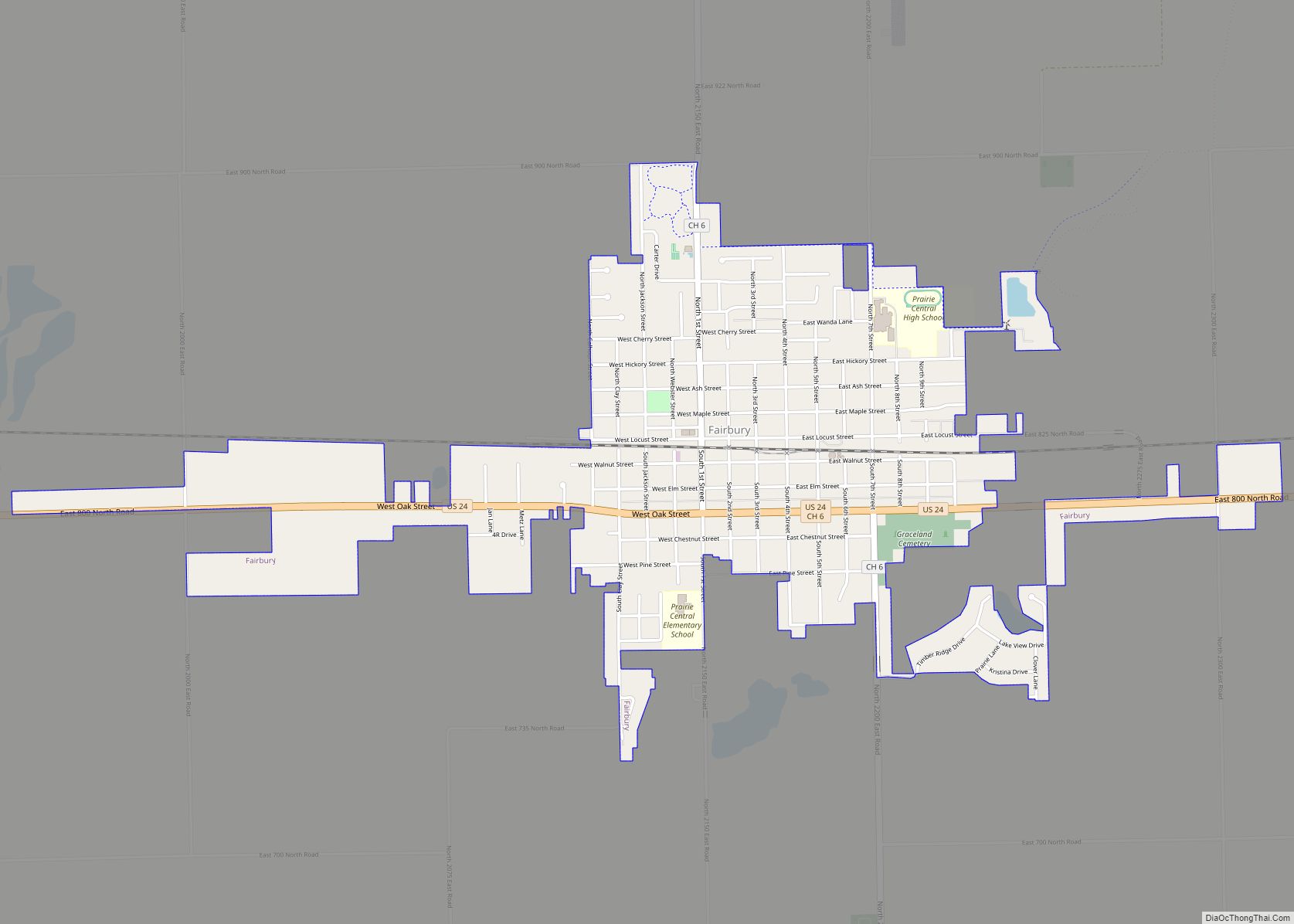
Forrest Road Map

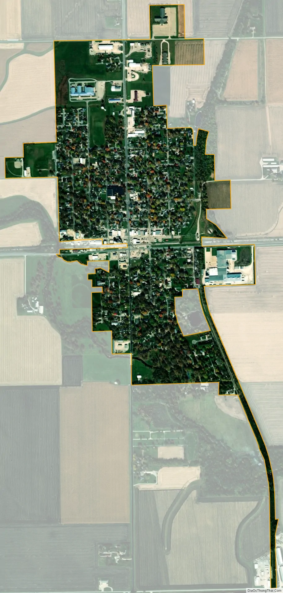
Forrest city Satellite Map
Geography
Forrest is located in southeastern Livingston County at 40°45′0″N 88°24′36″W / 40.75000°N 88.41000°W / 40.75000; -88.41000 (40.750018, -88.409992). It is in the northern part of Forrest Township, with a small area extending north into Pleasant Ridge Township.
U.S. Route 24 (Wabash Avenue) passes through the village, leading east 21 miles (34 km) to Interstate 57 at Gilman and west 17 miles (27 km) to Interstate 55 at Chenoa. Illinois Route 47 (Center Street) crosses US 24 near the village center; it leads north 24 miles (39 km) to Dwight and south 20 miles (32 km) to Gibson City.
According to the 2010 census, Forrest has a total area of 0.68 square miles (1.76 km), all land.
See also
Map of Illinois State and its subdivision:- Adams
- Alexander
- Bond
- Boone
- Brown
- Bureau
- Calhoun
- Carroll
- Cass
- Champaign
- Christian
- Clark
- Clay
- Clinton
- Coles
- Cook
- Crawford
- Cumberland
- De Kalb
- De Witt
- Douglas
- Dupage
- Edgar
- Edwards
- Effingham
- Fayette
- Ford
- Franklin
- Fulton
- Gallatin
- Greene
- Grundy
- Hamilton
- Hancock
- Hardin
- Henderson
- Henry
- Iroquois
- Jackson
- Jasper
- Jefferson
- Jersey
- Jo Daviess
- Johnson
- Kane
- Kankakee
- Kendall
- Knox
- La Salle
- Lake
- Lake Michigan
- Lawrence
- Lee
- Livingston
- Logan
- Macon
- Macoupin
- Madison
- Marion
- Marshall
- Mason
- Massac
- McDonough
- McHenry
- McLean
- Menard
- Mercer
- Monroe
- Montgomery
- Morgan
- Moultrie
- Ogle
- Peoria
- Perry
- Piatt
- Pike
- Pope
- Pulaski
- Putnam
- Randolph
- Richland
- Rock Island
- Saint Clair
- Saline
- Sangamon
- Schuyler
- Scott
- Shelby
- Stark
- Stephenson
- Tazewell
- Union
- Vermilion
- Wabash
- Warren
- Washington
- Wayne
- White
- Whiteside
- Will
- Williamson
- Winnebago
- Woodford
- Alabama
- Alaska
- Arizona
- Arkansas
- California
- Colorado
- Connecticut
- Delaware
- District of Columbia
- Florida
- Georgia
- Hawaii
- Idaho
- Illinois
- Indiana
- Iowa
- Kansas
- Kentucky
- Louisiana
- Maine
- Maryland
- Massachusetts
- Michigan
- Minnesota
- Mississippi
- Missouri
- Montana
- Nebraska
- Nevada
- New Hampshire
- New Jersey
- New Mexico
- New York
- North Carolina
- North Dakota
- Ohio
- Oklahoma
- Oregon
- Pennsylvania
- Rhode Island
- South Carolina
- South Dakota
- Tennessee
- Texas
- Utah
- Vermont
- Virginia
- Washington
- West Virginia
- Wisconsin
- Wyoming