Dahlgren is a village in Hamilton County, Illinois, United States. The population was 525 at the 2010 census. It is part of the Mount Vernon Micropolitan Statistical Area.
| Name: | Dahlgren village |
|---|---|
| LSAD Code: | 47 |
| LSAD Description: | village (suffix) |
| State: | Illinois |
| County: | Hamilton County |
| Founded: | March 29, 1872 |
| Elevation: | 515 ft (157 m) |
| Total Area: | 1.02 sq mi (2.63 km²) |
| Land Area: | 1.02 sq mi (2.63 km²) |
| Water Area: | 0.00 sq mi (0.00 km²) |
| Total Population: | 504 |
| Population Density: | 495.58/sq mi (191.31/km²) |
| Area code: | 618 |
| FIPS code: | 1718303 |
Online Interactive Map
Click on ![]() to view map in "full screen" mode.
to view map in "full screen" mode.
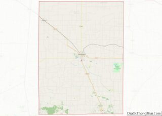
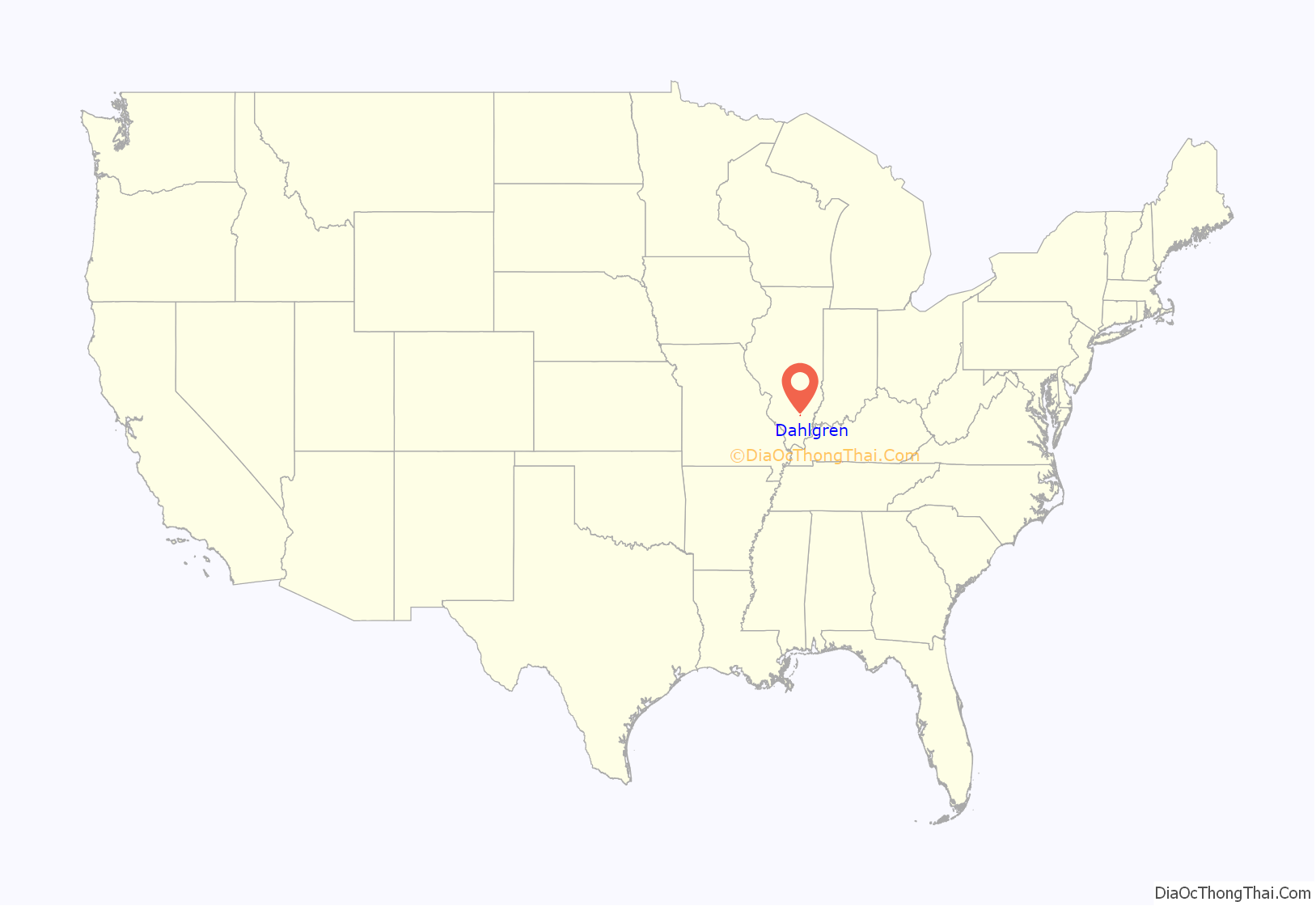
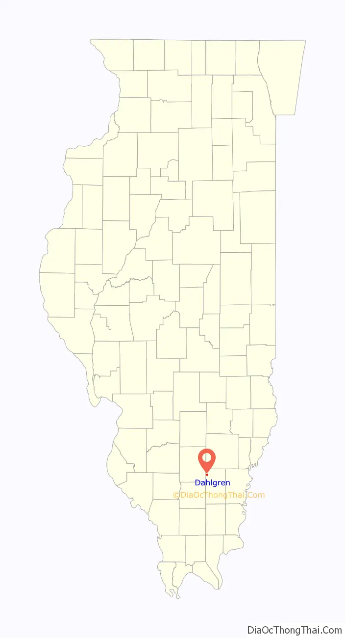
Dahlgren location map. Where is Dahlgren village?
History
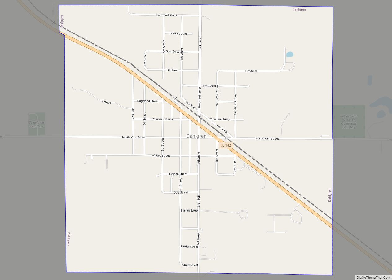
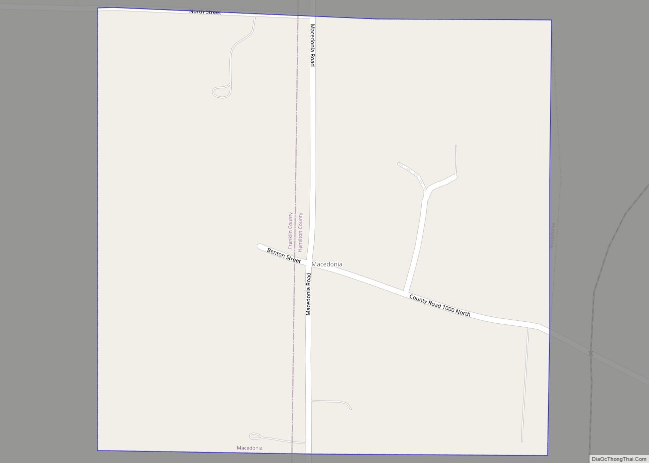
The area around present-day Dahlgren was known in the 1860s as the Shelton Precinct in Hamilton County before townships were formally established. In 1869 surveyors for the St. Louis & South-Eastern Rail Road (predecessor to the Louisville and Nashville Railroad) referred to the future town site as “Little Prairie.” Construction of the railroad commenced in 1870 and was completed through the area in late 1871. At that time railroad officials applied to establish a post office in the nascent town which was to be home to the local railroad section boss. After the name “Cottonwood” was rejected by the U. S. postmaster (having already been used in Illinois) the name “Dahlgren” was assigned and the post office commenced operation on December 11, 1871. The village was named for John A. Dahlgren (1809–1870), a U.S. naval officer prominent during the American Civil War. On March 29, 1872, the official founding date of the village, A. M. Sturman executed a Deed of Dedication whereby he ceded 1 square mile of land centered on present day Main and 3rd Streets to formally layout the town. All land titles in Dahlgren derive from this original Deed of Dedication which was itself based on the original surveys conducted pursuant to Northwest Ordinance of 1787. The original settlement of Dahlgren extended roughly from the railroad depot/Chestnut St. (originally “A” Street) south to Sturmman St (originally “D” Street) and from 1st St. west to 5th St., a total of 12 square blocks.
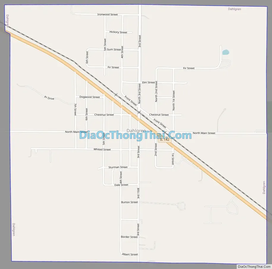
Dahlgren Road Map
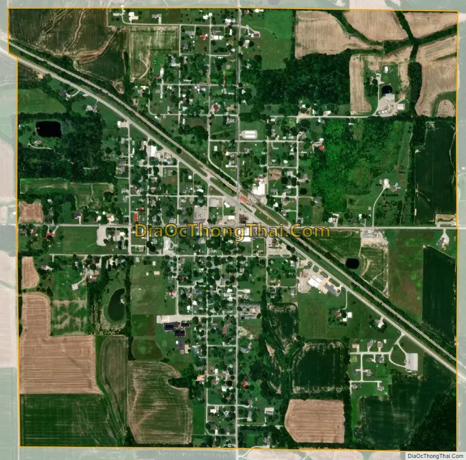
Dahlgren city Satellite Map
Geography
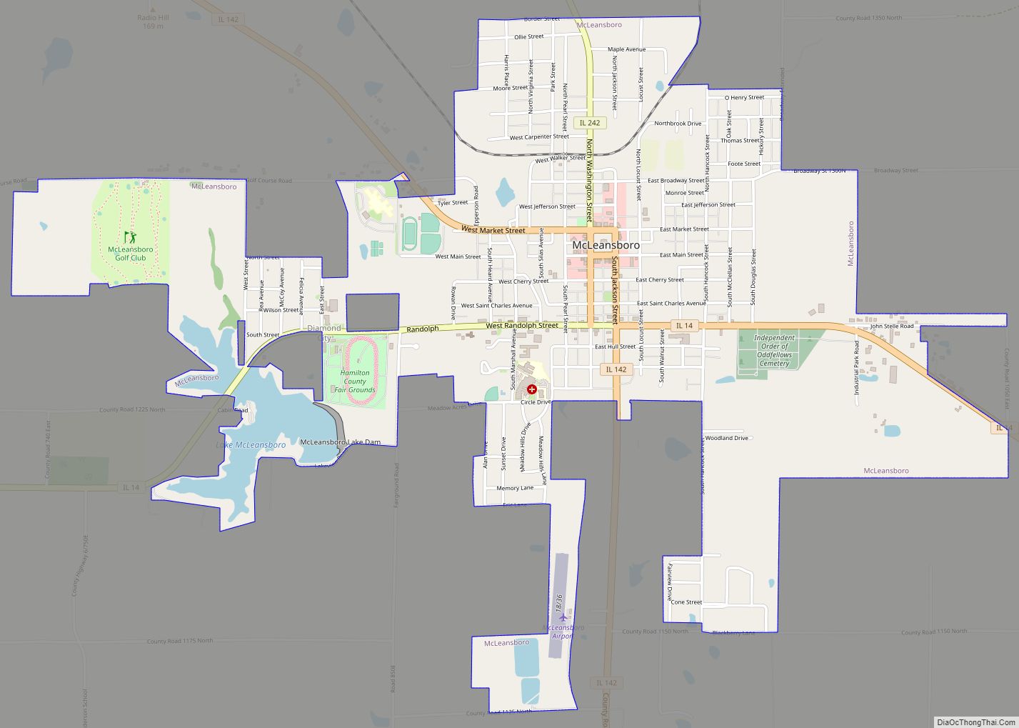
Illinois Route 142 passes through the village, leading southeast 11 miles (18 km) to McLeansboro, the county seat, and northwest 15 miles (24 km) to Mount Vernon.
According to the 2010 census, Dahlgren has a total area of 1 square mile (2.59 km), all land.
See also
Map of Illinois State and its subdivision:- Adams
- Alexander
- Bond
- Boone
- Brown
- Bureau
- Calhoun
- Carroll
- Cass
- Champaign
- Christian
- Clark
- Clay
- Clinton
- Coles
- Cook
- Crawford
- Cumberland
- De Kalb
- De Witt
- Douglas
- Dupage
- Edgar
- Edwards
- Effingham
- Fayette
- Ford
- Franklin
- Fulton
- Gallatin
- Greene
- Grundy
- Hamilton
- Hancock
- Hardin
- Henderson
- Henry
- Iroquois
- Jackson
- Jasper
- Jefferson
- Jersey
- Jo Daviess
- Johnson
- Kane
- Kankakee
- Kendall
- Knox
- La Salle
- Lake
- Lake Michigan
- Lawrence
- Lee
- Livingston
- Logan
- Macon
- Macoupin
- Madison
- Marion
- Marshall
- Mason
- Massac
- McDonough
- McHenry
- McLean
- Menard
- Mercer
- Monroe
- Montgomery
- Morgan
- Moultrie
- Ogle
- Peoria
- Perry
- Piatt
- Pike
- Pope
- Pulaski
- Putnam
- Randolph
- Richland
- Rock Island
- Saint Clair
- Saline
- Sangamon
- Schuyler
- Scott
- Shelby
- Stark
- Stephenson
- Tazewell
- Union
- Vermilion
- Wabash
- Warren
- Washington
- Wayne
- White
- Whiteside
- Will
- Williamson
- Winnebago
- Woodford
- Alabama
- Alaska
- Arizona
- Arkansas
- California
- Colorado
- Connecticut
- Delaware
- District of Columbia
- Florida
- Georgia
- Hawaii
- Idaho
- Illinois
- Indiana
- Iowa
- Kansas
- Kentucky
- Louisiana
- Maine
- Maryland
- Massachusetts
- Michigan
- Minnesota
- Mississippi
- Missouri
- Montana
- Nebraska
- Nevada
- New Hampshire
- New Jersey
- New Mexico
- New York
- North Carolina
- North Dakota
- Ohio
- Oklahoma
- Oregon
- Pennsylvania
- Rhode Island
- South Carolina
- South Dakota
- Tennessee
- Texas
- Utah
- Vermont
- Virginia
- Washington
- West Virginia
- Wisconsin
- Wyoming